Trail Overview
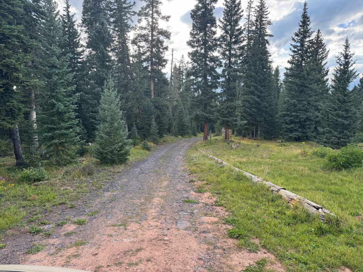
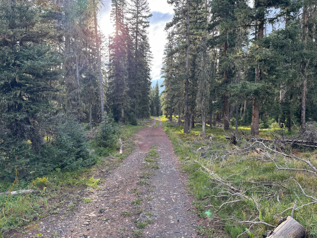
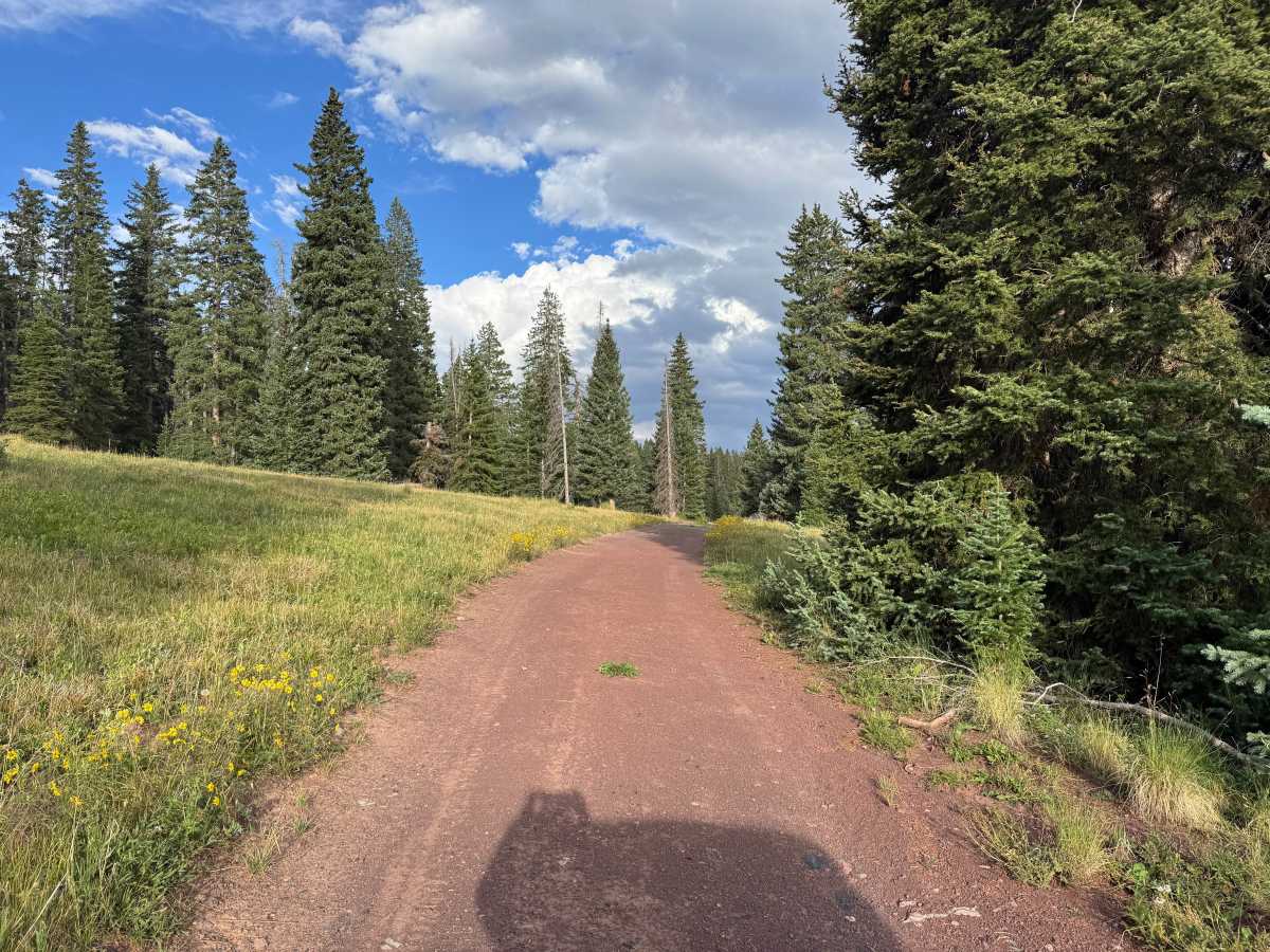
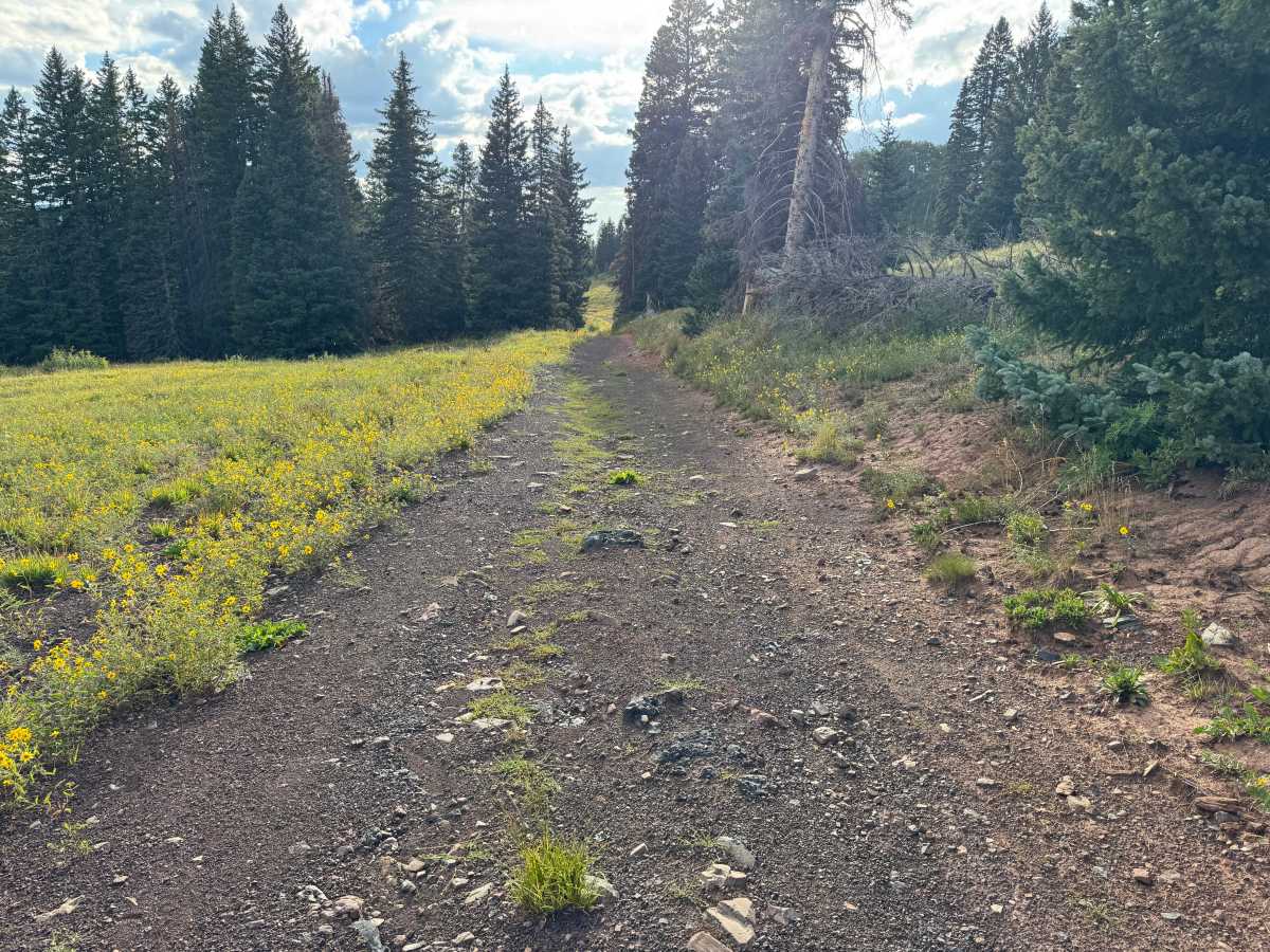
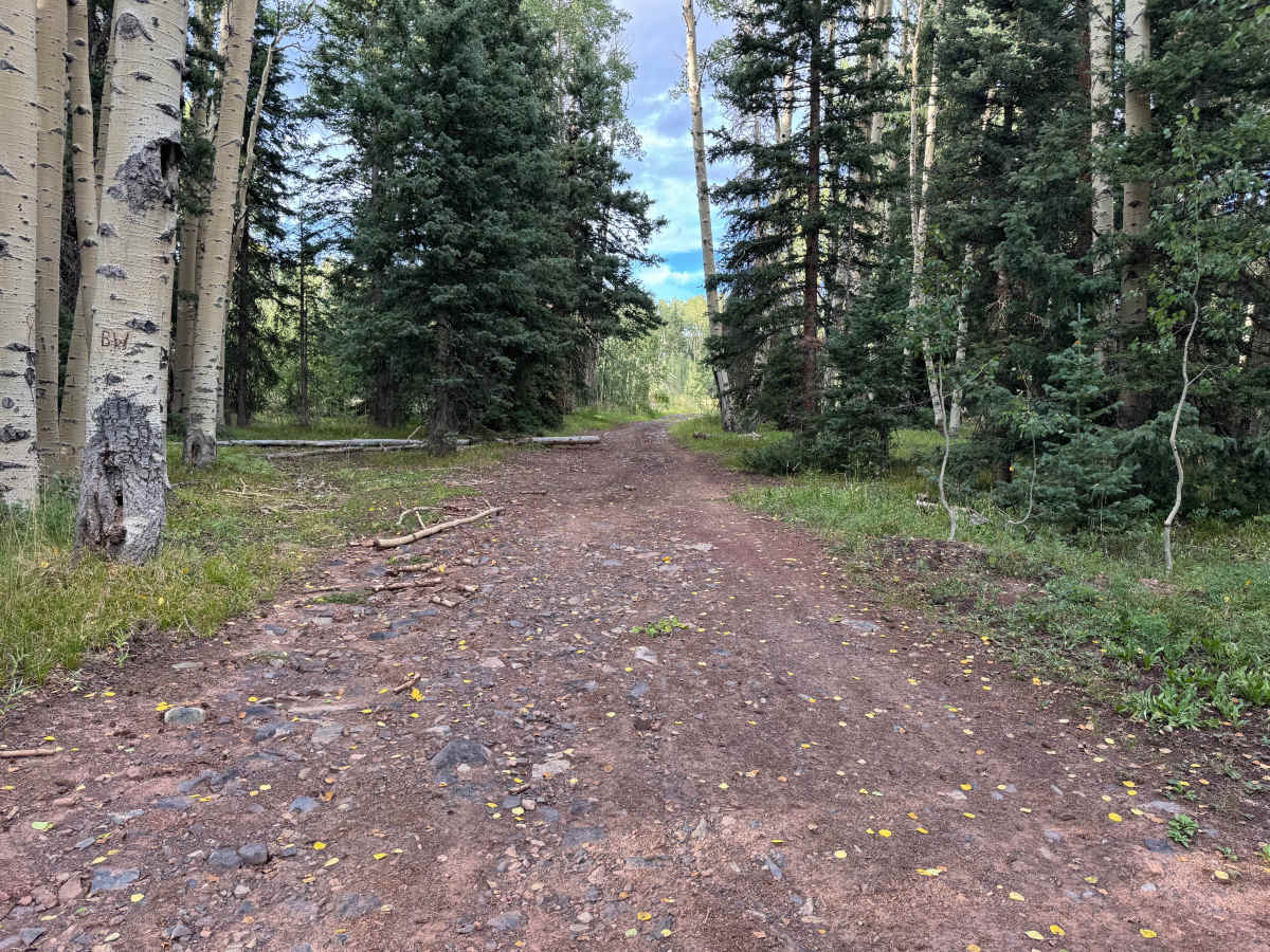
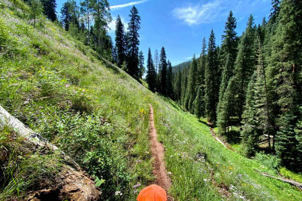
This out-and-back route travels through a mix of dense evergreen forest, scattered aspen groves, and several open mountain meadows. The trail surface varies between packed reddish dirt and sections of loose gravel and embedded rock. While there are no major technical obstacles, portions of the road are uneven with minor erosion, shallow washouts, and exposed rocks, so drivers should watch their speed and choose their line carefully. Much of the route is approximately one vehicle wide, with limited opportunities for passing. The surrounding forest consists primarily of mature pine and fir, with pockets of aspen and grassy clearings filled with seasonal wildflowers. At the end of the route, a road-closed gate and sign prevent further motorized travel. The turnaround area appears to provide enough space for vehicles and also includes what appears to be a dispersed campsite suitable for an overnight stay.
Difficulty
Mostly packed dirt and gravel with scattered embedded rocks, shallow washouts, and minor erosion along the route. There are no major obstacles, ledges, or technical rock sections. The primary challenges are the narrow, one-vehicle-wide trail and uneven areas where erosion may require slower speeds and careful tire placement. A stock high-clearance vehicle should have little difficulty under normal dry conditions.
History
The Hermosa Creek area has a long history of transportation, ranching, forestry, and recreation. Settlement began near the mouth of Hermosa Creek in the early 1870s, where farms and orchards supplied food to the growing mining camps around Silverton. By 1875, produce from the Hermosa Valley was being transported north to the mining district, first by wagon and later by railroad. The Denver & Rio Grande narrow-gauge railroad reached Hermosa in November 1881, establishing a construction and railroad facility with a depot, siding, water tank, and other infrastructure as construction continued toward Silverton. The upper Hermosa watershed remained comparatively undeveloped and became valued for fishing, hunting, and backcountry recreation. The Forest Service constructed the Hermosa Trail in 1917 for fishermen, recreationists, forest rangers and ranchers. Today, much of the watershed is protected within the Hermosa Creek Special Management Area and Hermosa Creek Wilderness. There's also an important off-road-specific piece of modern history here. In the 1960s, there were proposals to push additional roads into the upper Hermosa watershed to facilitate timber harvesting. Local opposition helped prevent a road from being constructed across the watershed, preserving much of the roadless character that exists today. Congress ultimately passed the Hermosa Creek Watershed Protection Act in 2014, protecting the watershed while retaining recreation on designated existing routes.

 Offroad