Trail Overview
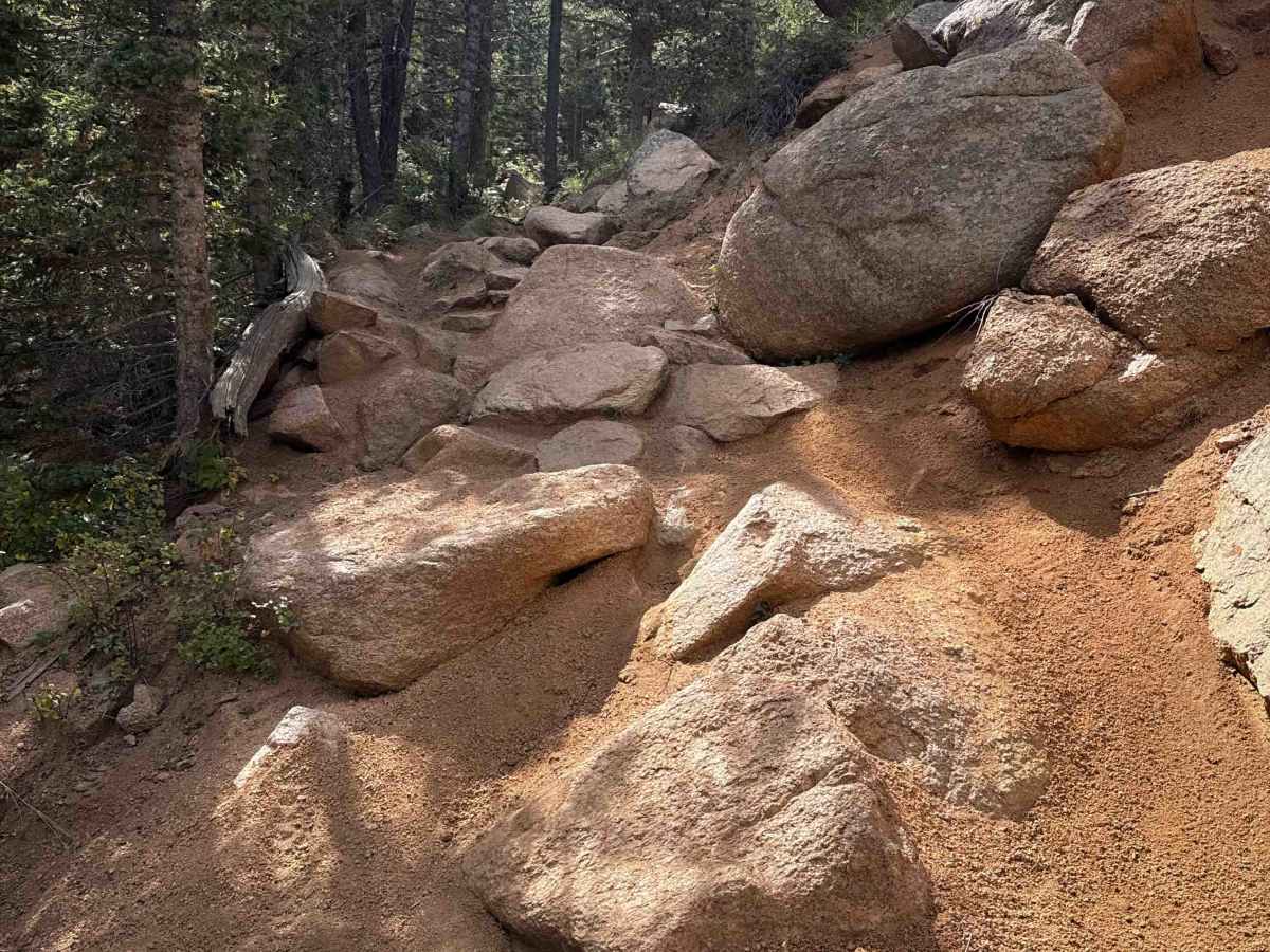
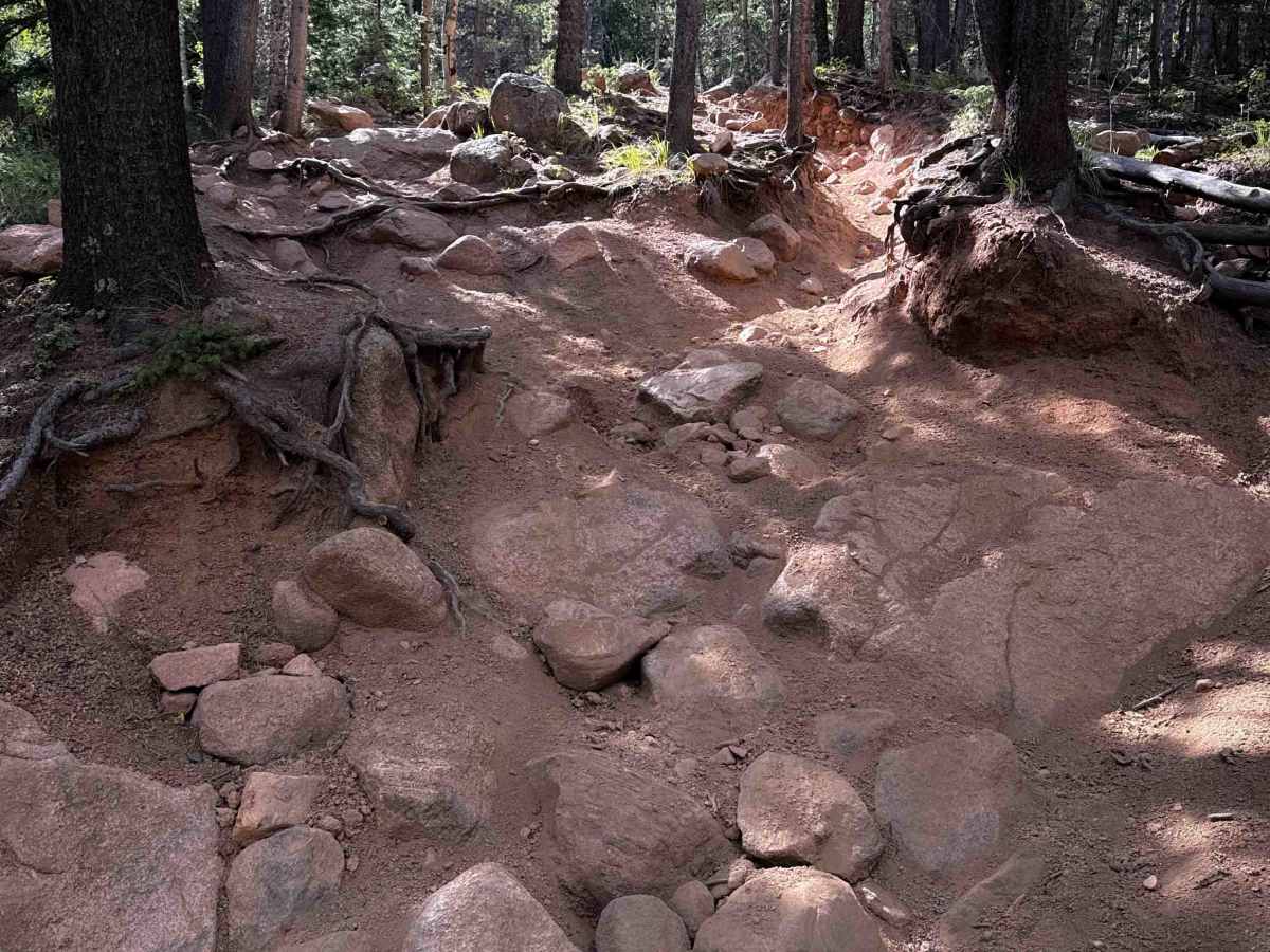
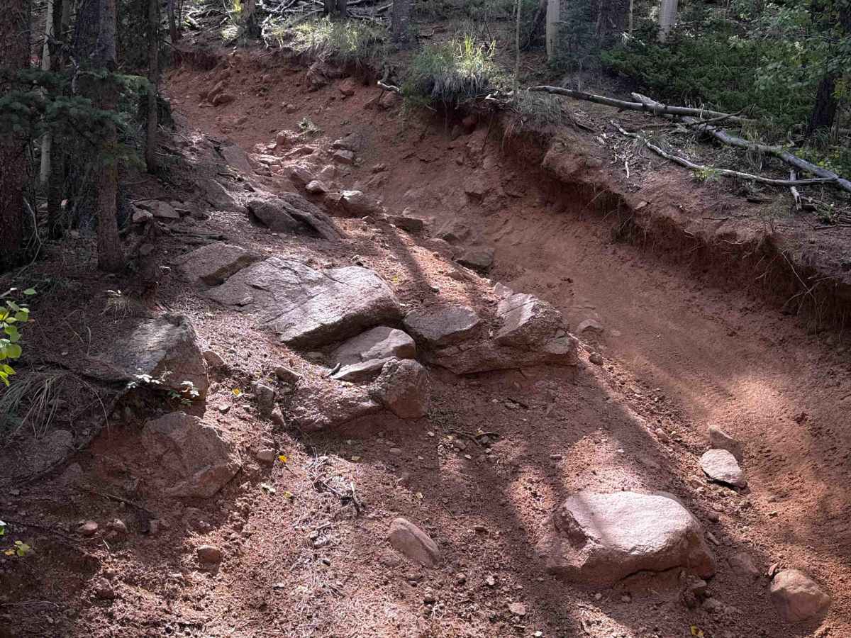
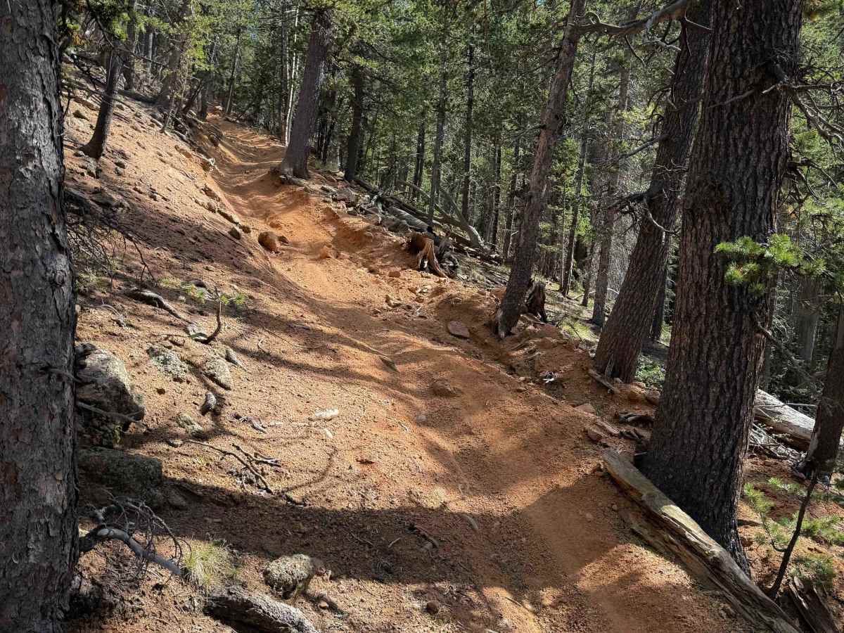
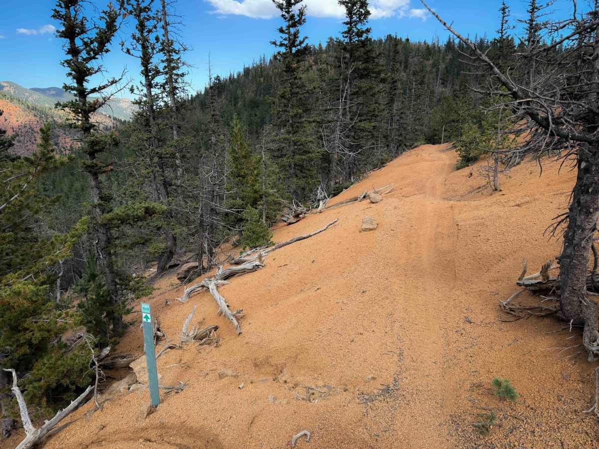
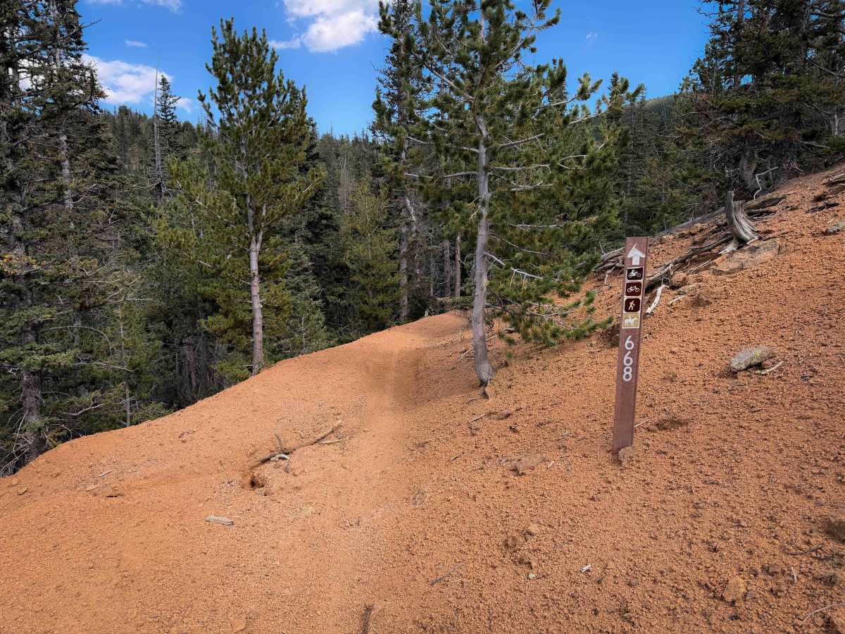
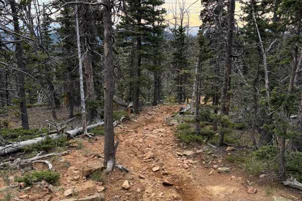
Trail 668 is a 3.3 mile long technical single track in the Captain Jack’s Trail System near Colorado Springs. From the south end, it starts off of trail 701 at a steep switchback, and it descends steeply for the first half of the trail through a scenic pine forest. The trail is mostly pea-gravel, which can be slick and slippery. There are several sweeping switchbacks throughout the route that are not difficult, but it also goes down several rock ledge obstacles that will be much more difficult in the uphill direction when riding the trail from north to south. They are big embedded boulders and ledges, with ruts, roots, and slippery pea-gravel. It crosses several small creek crossings that are shallow and easy, and then continues on a shelfy narrow side-hilling trail for the last 1.5 miles that follows an old pipeline dug into the hillside.
Difficulty
This trail is an upper-intermediate difficulty as it has several big rock features and ledges that will be quite challenging in the uphill direction, from north to south. They can be rutted and slick from the pea gravel. Going down them is not overly difficult, as you can walk your bike down them if needed, but if going uphill, they will be blunt and dug out at times. Expect a few easy switchbacks, and lots of embedded rocks and roots, plus narrow sections with mild side-hill exposure.