Trail Overview
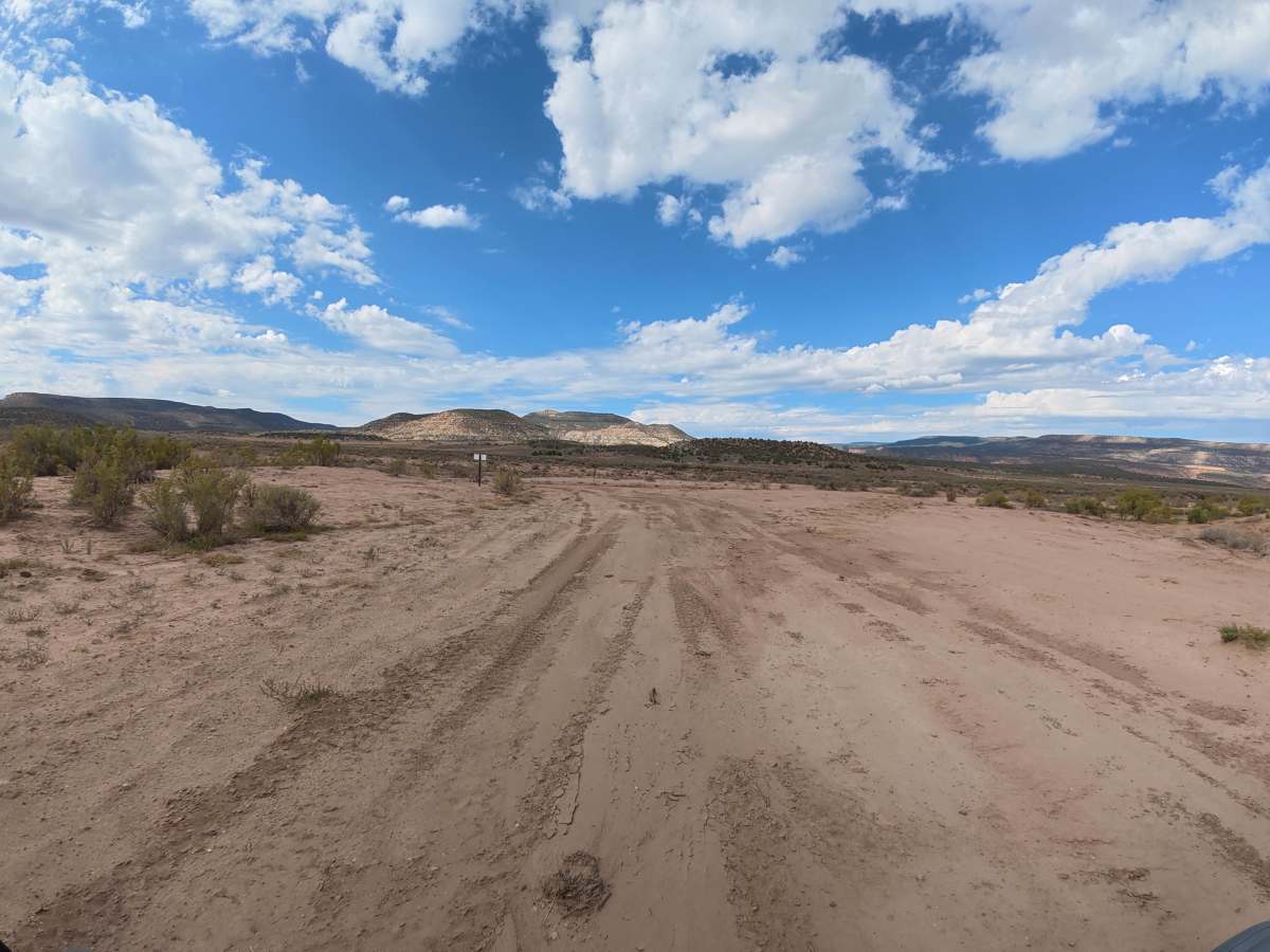
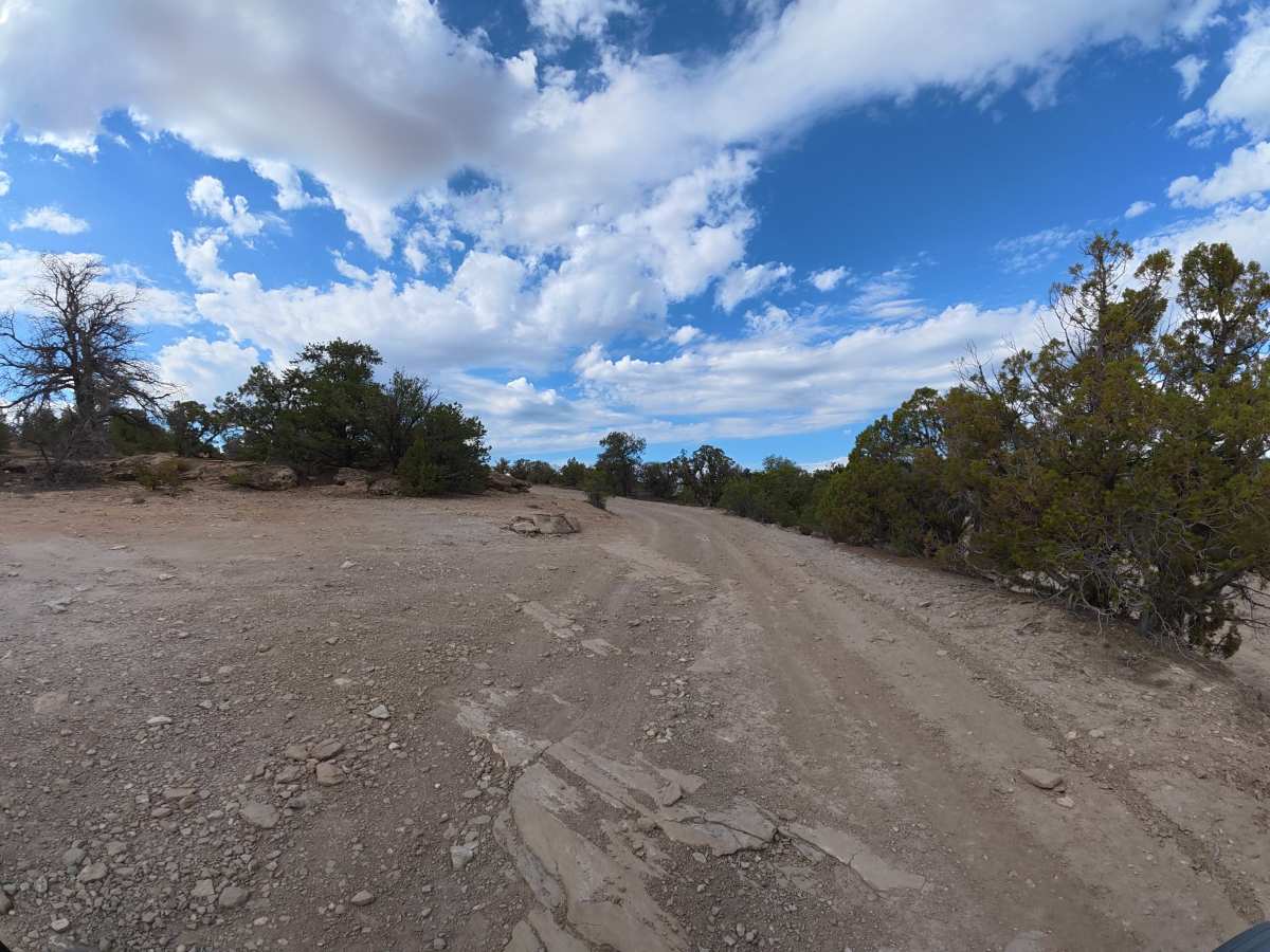
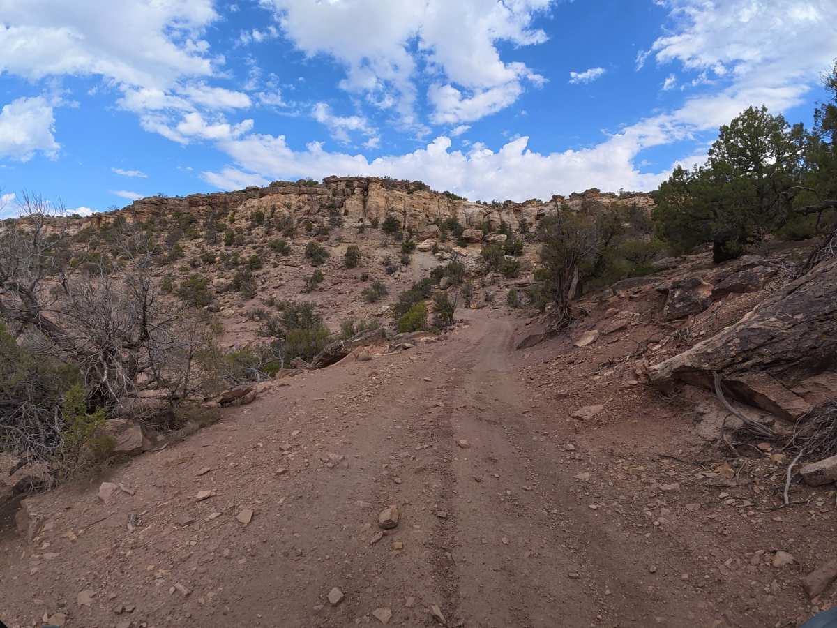
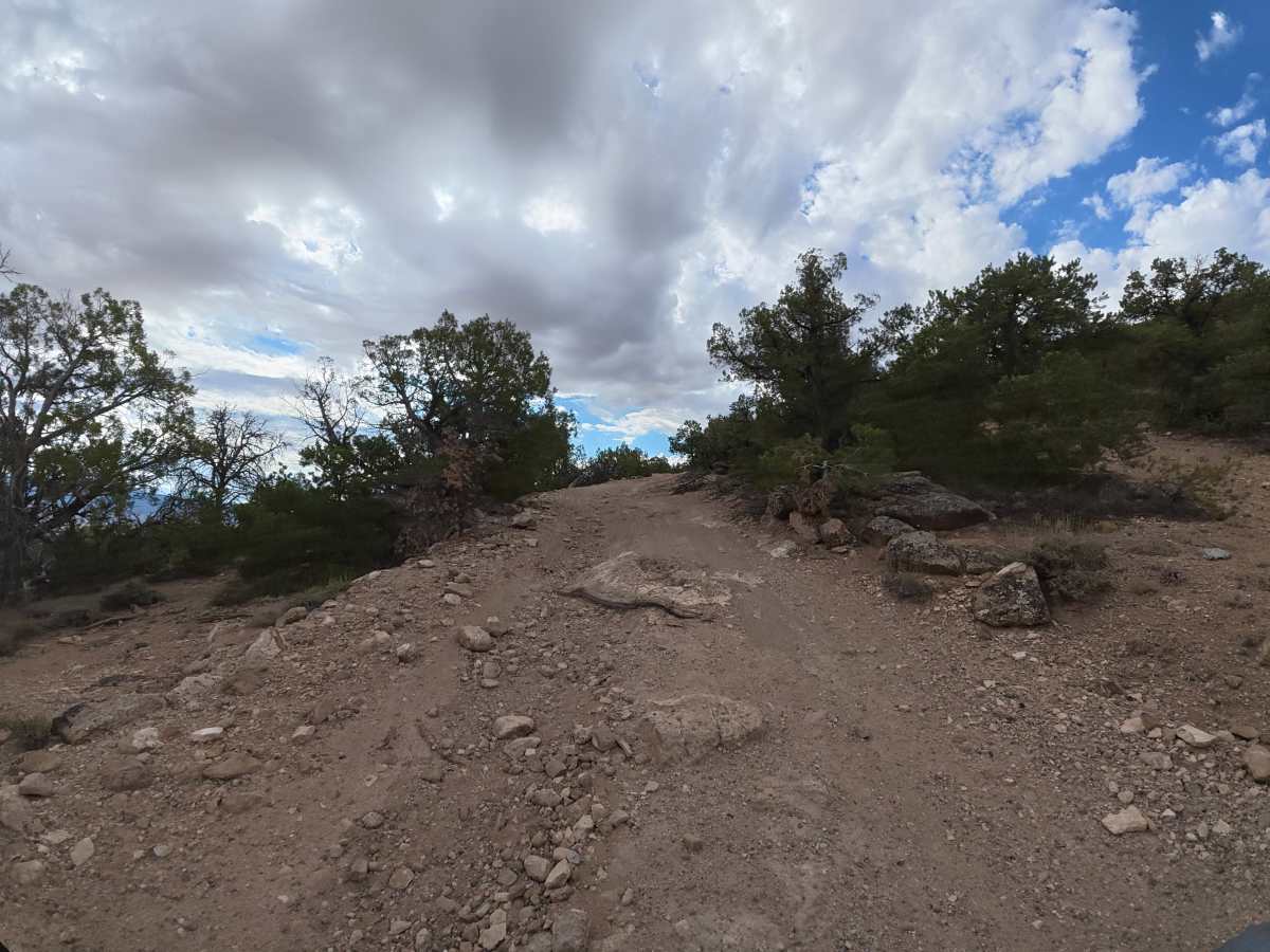
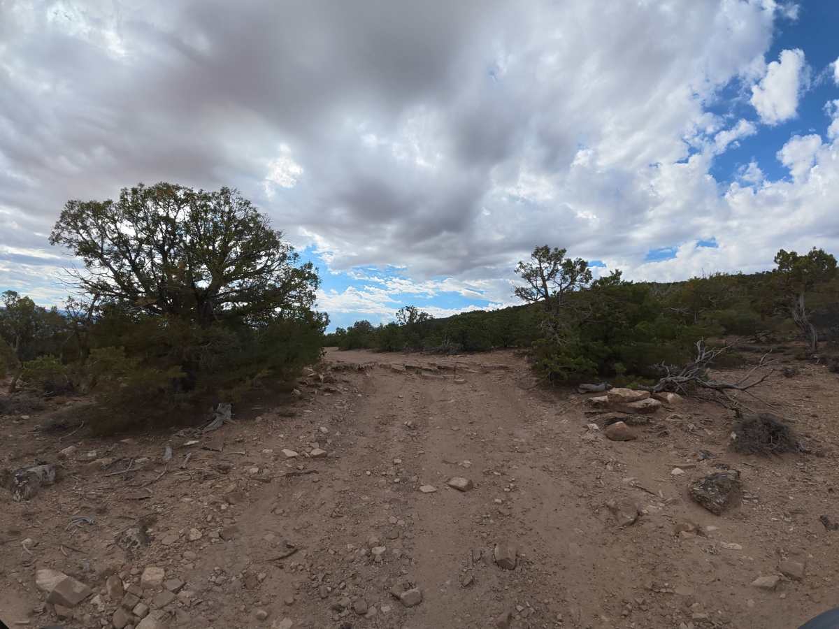
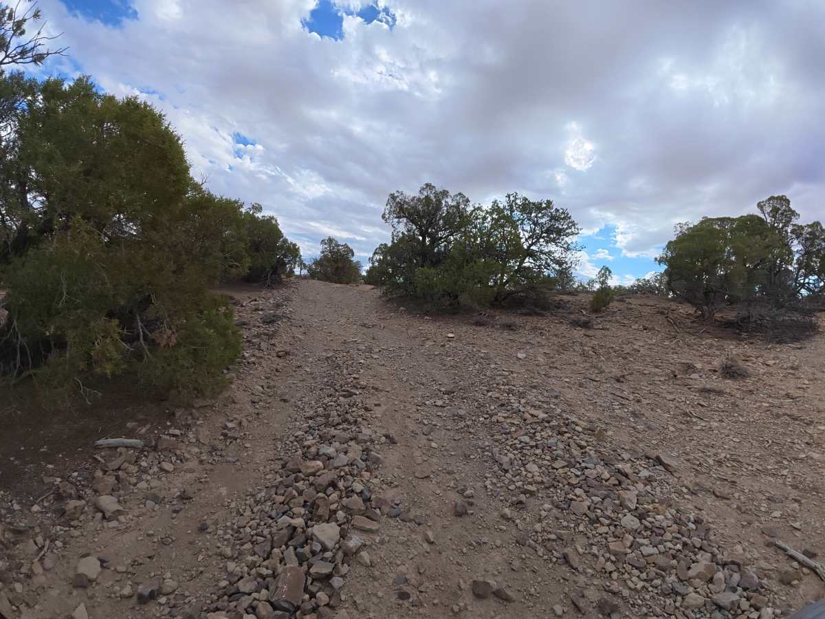
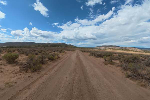
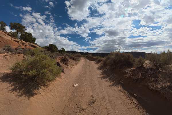
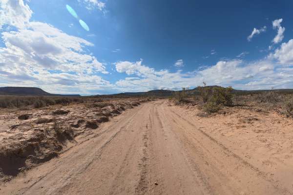
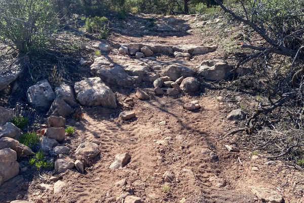
This scenic trail consists mostly of fine dirt and gravel with numerous rock gardens, 10–12 inch rock ledges, and obstacles requiring at least 14–16 inches of front clearance. 4WD or AWD is required, and the trail becomes narrower around 1.1 miles with heavy overgrowth and trees creating pinstriping potential for wider vehicles. At 0.9 miles, a cliffside viewpoint offers incredible views, while BLM 009 branches off at 1.5 miles and a large, shaded campsite for up to eight vehicles is located around 3.8 miles.
Difficulty
This trail has 10–12-inch rock obstacles, required clearance, rock gardens, and narrower sections with pinstriping potential. The technical sections require 4WD or AWD and careful line selection, especially in wet conditions.
History
Gibbler Mountain exposes a remarkable sequence of Jurassic rock layers, including the Kayenta, Entrada, Summerville, and basal Morrison formations, preserving evidence of changing environments roughly 145–200 million years ago. The area is also known for dinosaur and pterosaur tracksites, including theropod footprints documented since the 1970s and additional tracks discovered around Gibbler Mountain in the 1990s and 2011.