Trail Overview
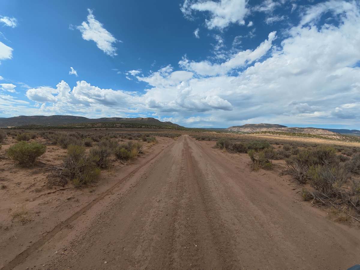
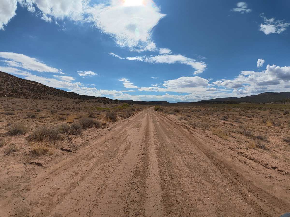
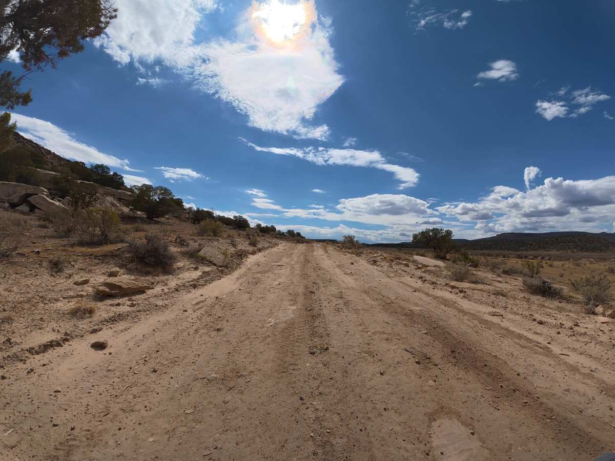
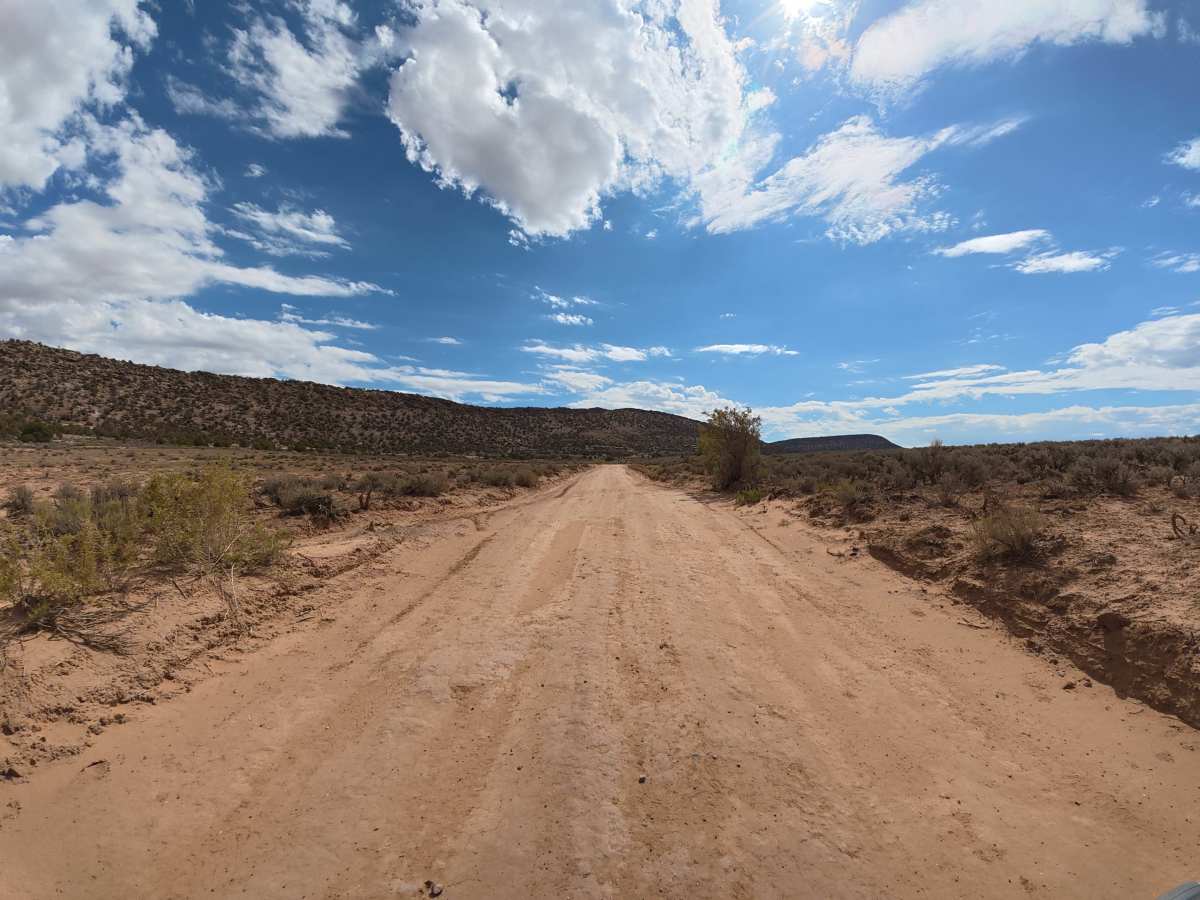
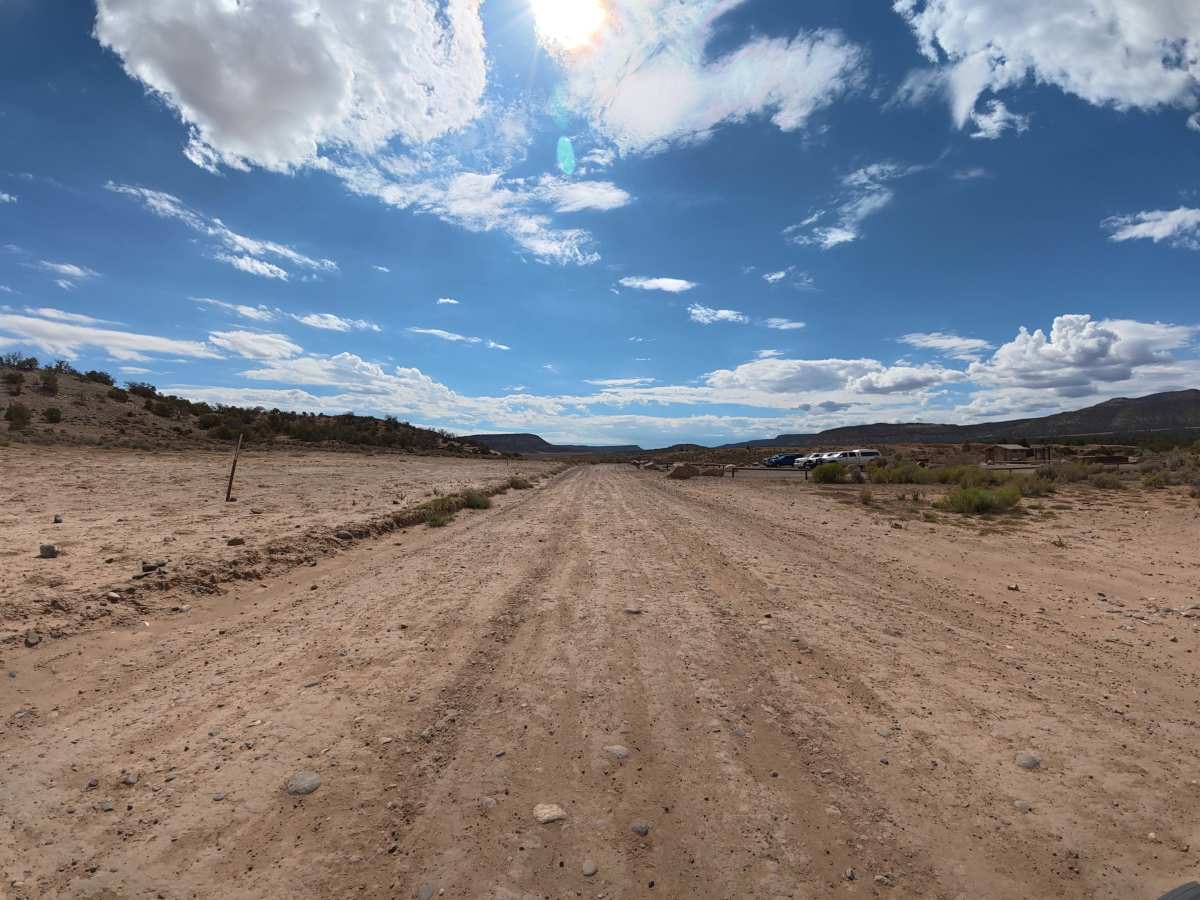
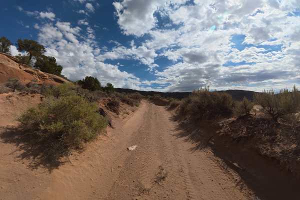
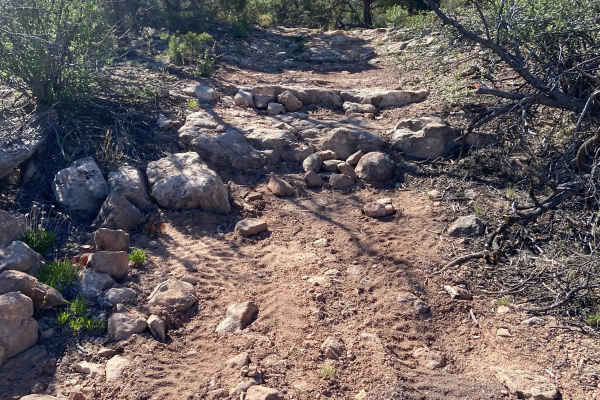
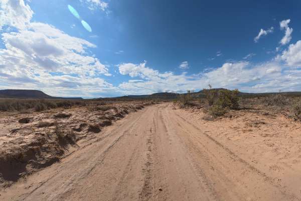
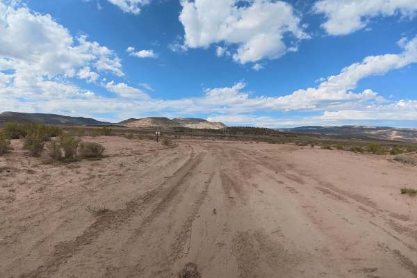
This main route begins off Highway 114 and connects to nearly every trail, trailhead, and campsite in the area. The road is mostly fine dirt with plenty of whoops and some rock gardens, but it is wide enough for vehicles to pass and is generally easy to navigate when dry. Within the first few minutes, there is a trailhead with parking and a restroom, while the route offers scenic views of the area's red rock formations and distant mountain ranges.
Difficulty
This trail is wide, relatively smooth, and has no significant technical obstacles despite the whoops and rock gardens. Most vehicles can comfortably drive it in dry conditions, but the fine dirt can become very difficult when wet.
History
Gibbler Mountain exposes a remarkable sequence of Jurassic rock layers, including the Kayenta, Entrada, Summerville, and basal Morrison formations, preserving evidence of changing environments roughly 145–200 million years ago. The area is also known for dinosaur and pterosaur tracksites, including theropod footprints documented since the 1970s and additional tracks discovered around Gibbler Mountain in the 1990s and 2011.