Trail Overview
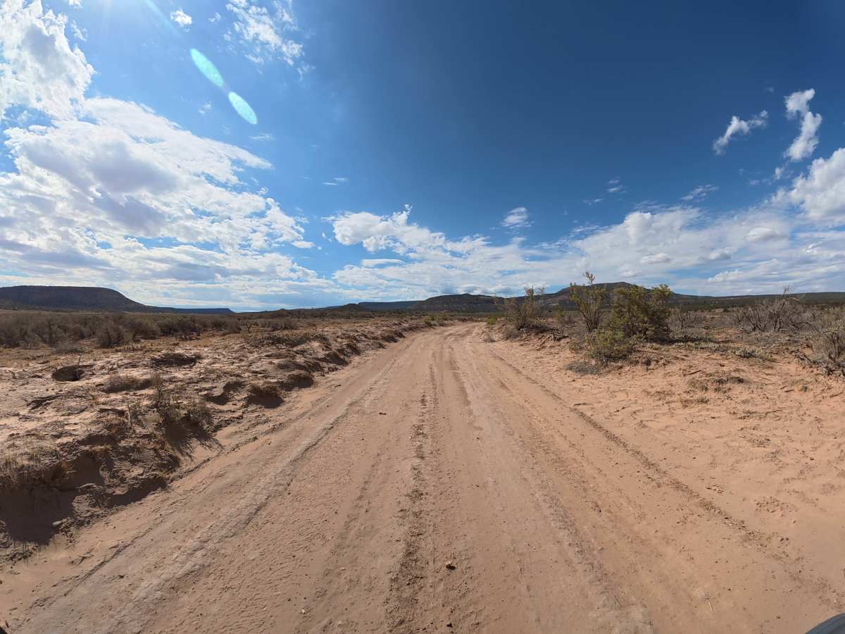
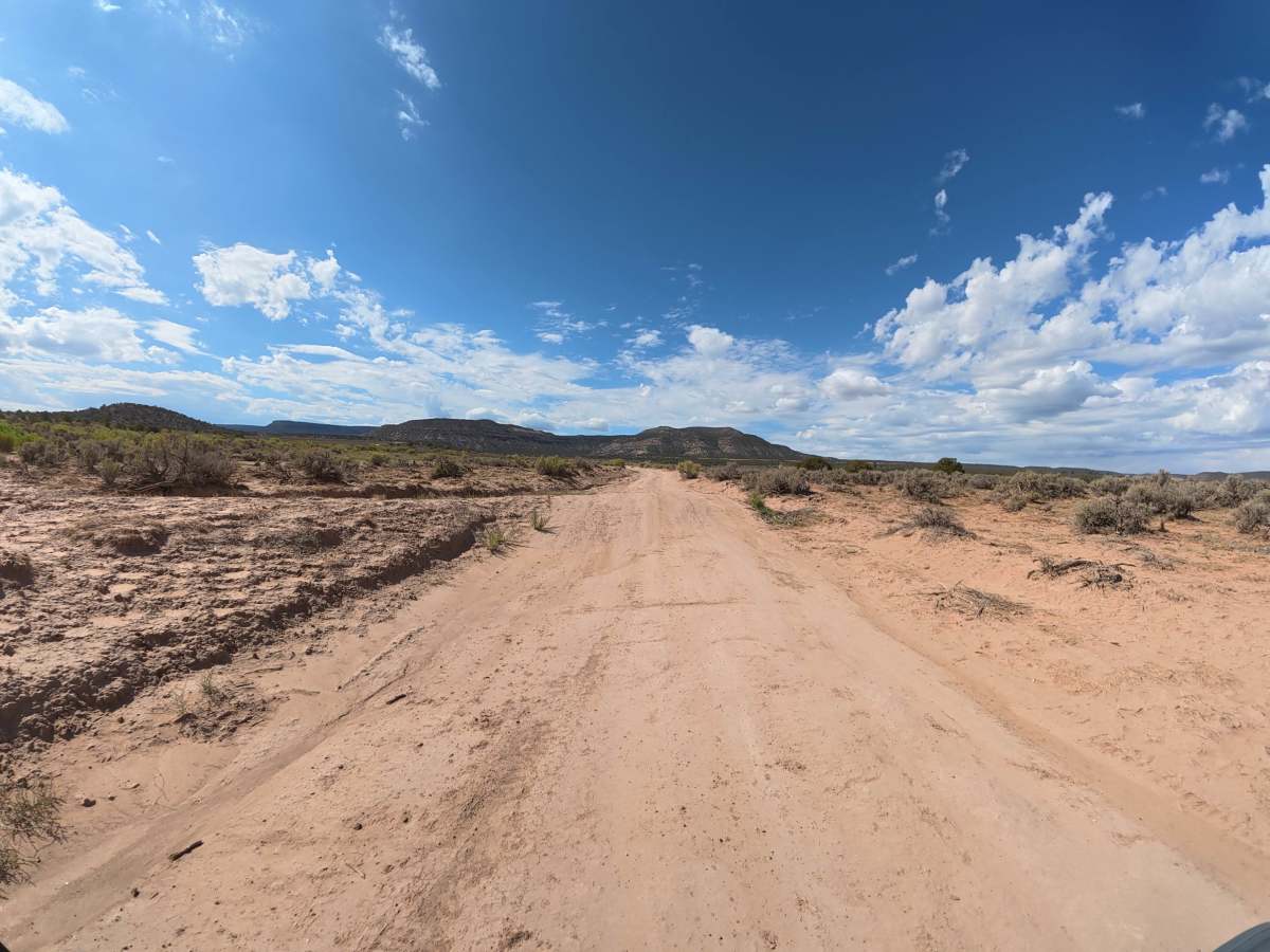
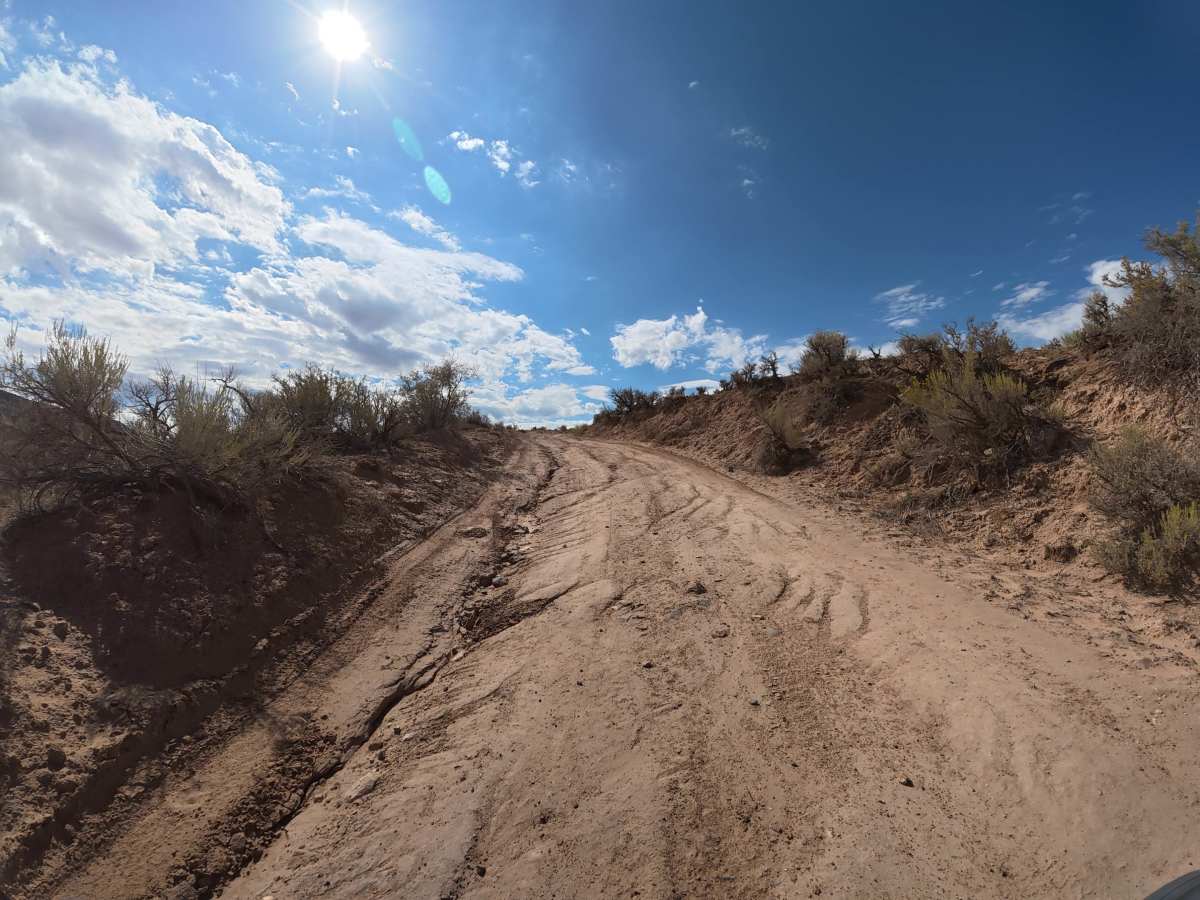
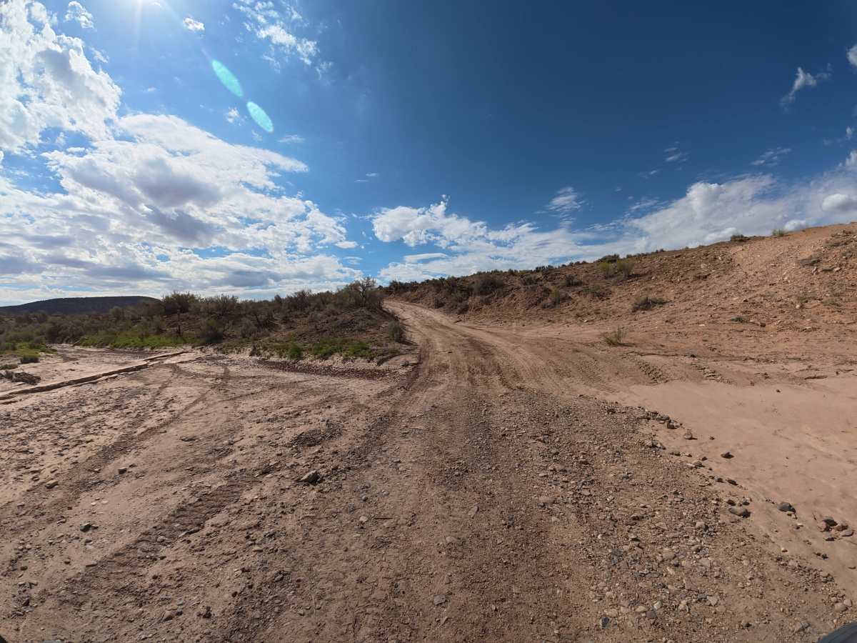
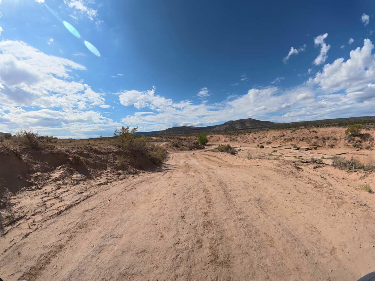
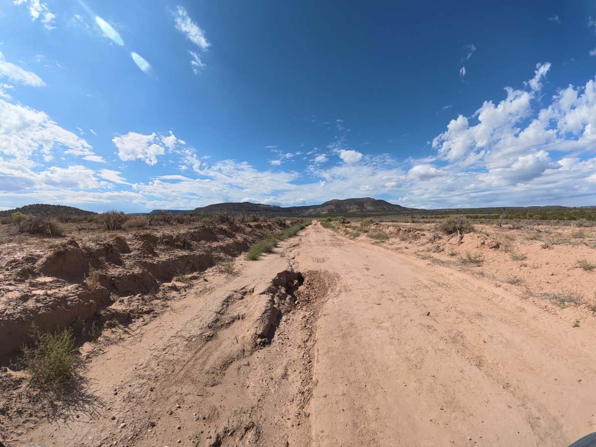
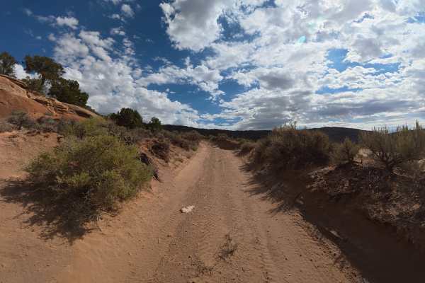
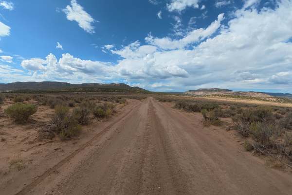
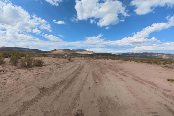
This short, scenic trail breaks off Cactus Road near the trailhead, restrooms, and parking area. The route consists mostly of fine dirt and sand with 5–8-inch ruts and some washed-out sections that can put you up to 10degrees off-camber. Throughout the trail, you’ll have expansive 360° views of the valley, mountains, and surrounding red rock formations, with access to BLM 14A at 0.3 miles for hiking, biking, horseback riding, and motorbikes.
Difficulty
This trail is short and has no major technical obstacles, with moderate ruts and manageable washed-out sections. The main concern is wet conditions, which can make the fine dirt and sand significantly more difficult to navigate.
History
Gibbler Mountain exposes a remarkable sequence of Jurassic rock layers, including the Kayenta, Entrada, Summerville, and basal Morrison formations, preserving evidence of changing environments roughly 145–200 million years ago. The area is also known for dinosaur and pterosaur tracksites, including theropod footprints documented since the 1970s and additional tracks discovered around Gibbler Mountain in the 1990s and 2011.