Trail Overview
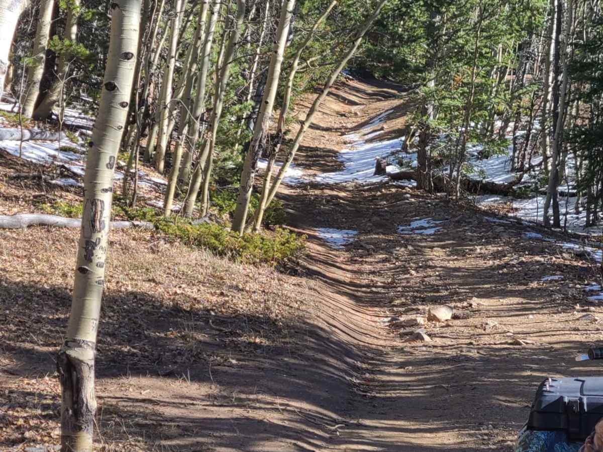
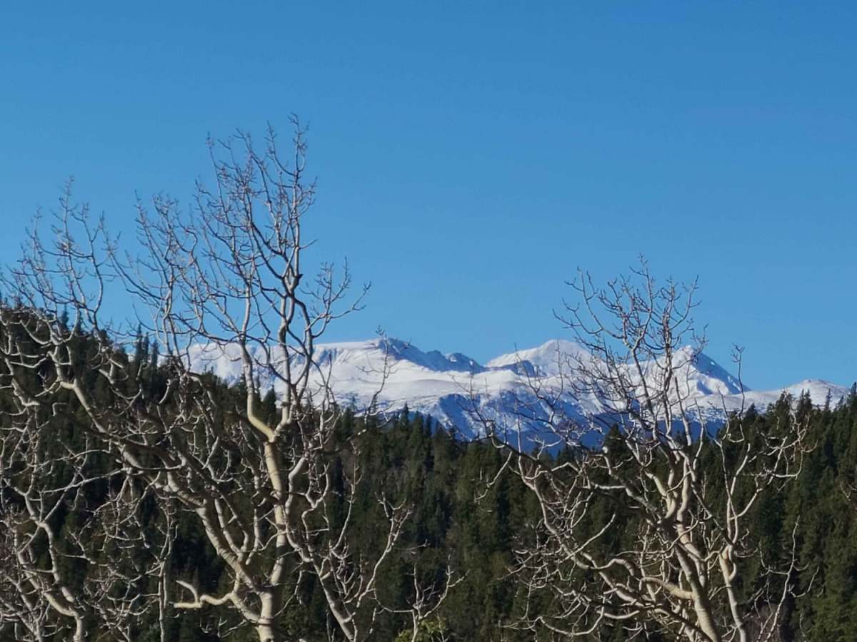
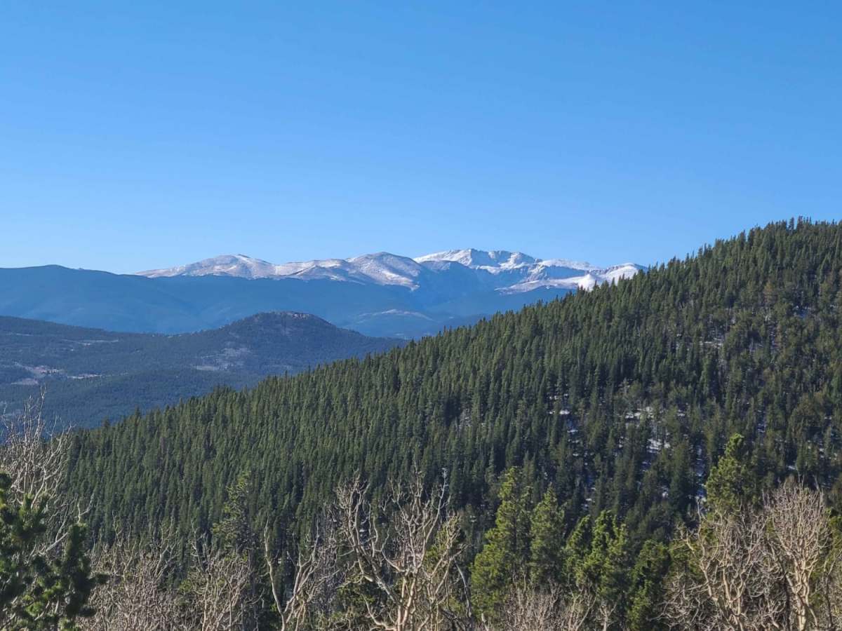
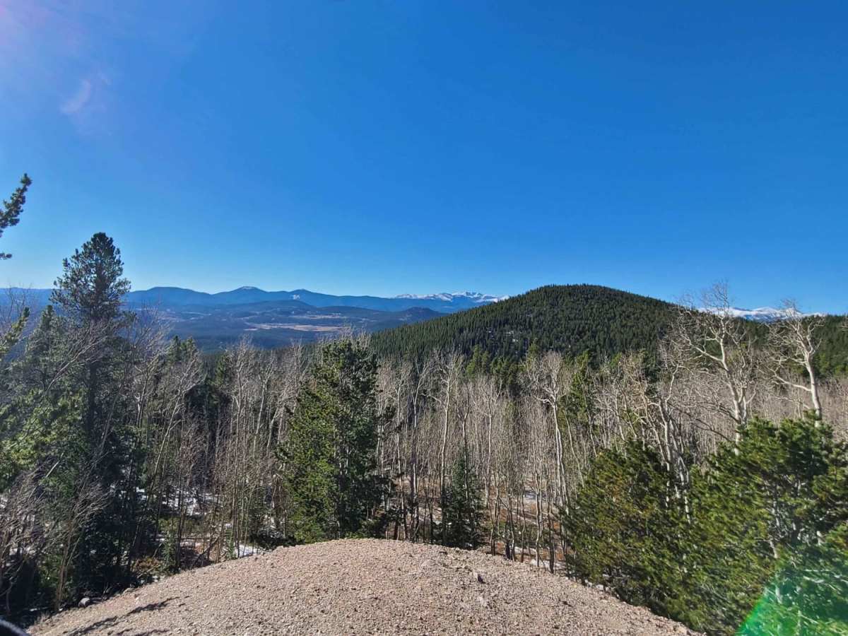
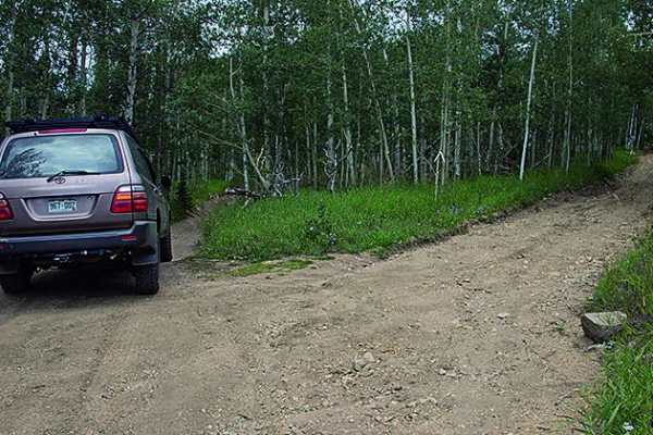
Michigan Hill is an excellent route for scenic cruisers and intermediate offroaders looking for a historic drive through Colorado's mining country with panoramic views. Starting near the Pickle Gulch Campground, this 5.7-mile trail winds through dense pine forests and open valleys, offering spectacular vistas of the surrounding peaks. The trail reaches a maximum elevation of 10,627 feet, climbing from a starting point of 8,947 feet, with an average gradient of about 5.3 degrees. High-clearance four-wheel-drive vehicles and SxSs will find the path manageable, though drivers should remain alert for narrow passages and sections featuring loose dirt, rock obstacles, and historical mine tailings.
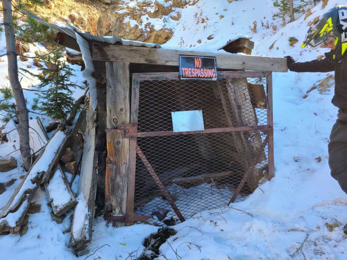
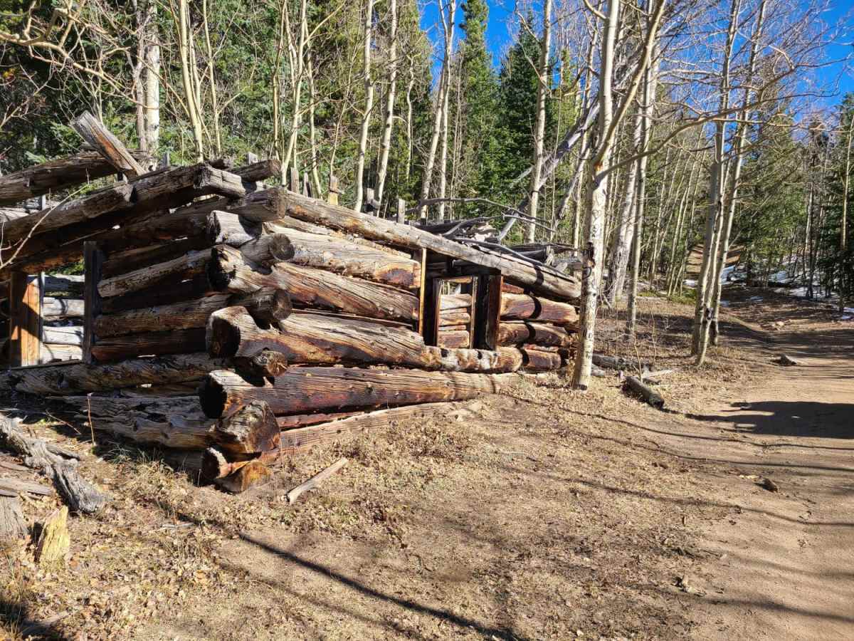
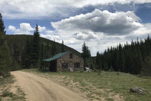
Historical relics, including old mining shacks, dot the landscape, providing great opportunities to stop and appreciate the region's rich mining heritage. The route is technically rated as a 3 out of 10, featuring mostly dirt surfaces interspersed with rocky sections that require careful tire placement. Wildlife is abundant here, and travelers frequently spot deer and elk grazing in the meadows. While the trail is technically open year-round, winter brings heavy snow accumulation of up to three feet, making the route difficult or impassable for standard rigs without specialized winter recovery gear.