McNasser Gulch 4WD Road

Total Miles2.2
Technical Rating
3Easy
Best TimeSpring, Summer, Fall
Trail TypeFull-Width Road
Accessible By
Open Trail Map

Trail Overview

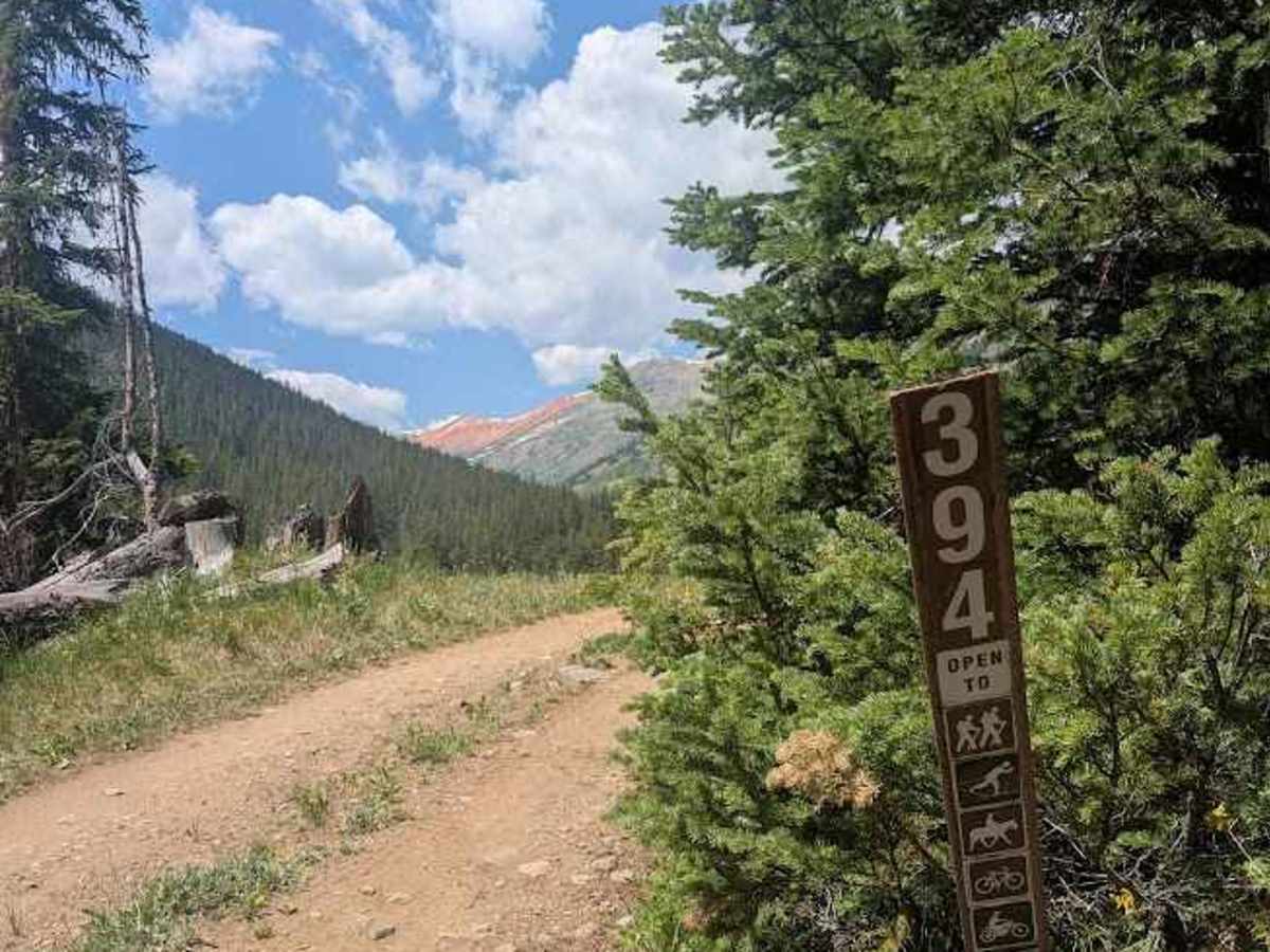
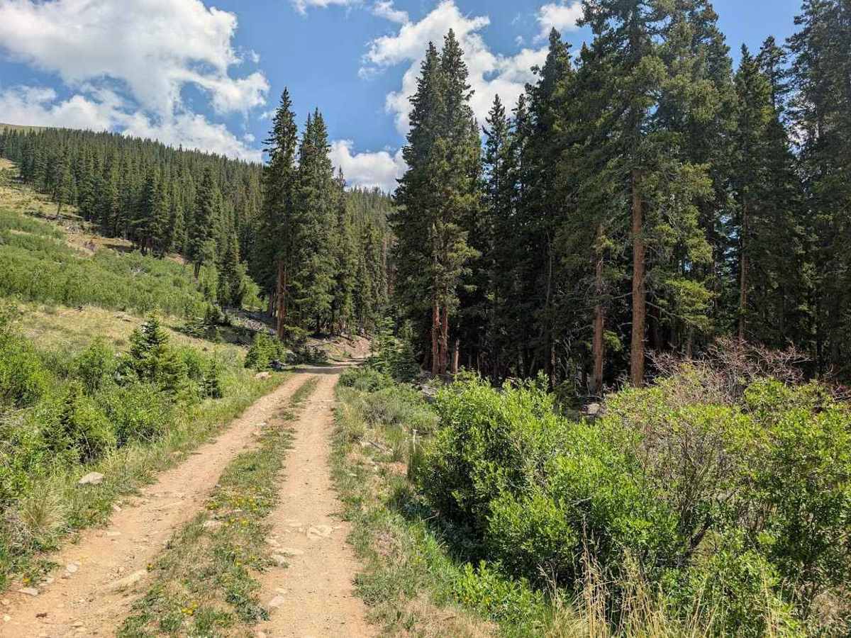
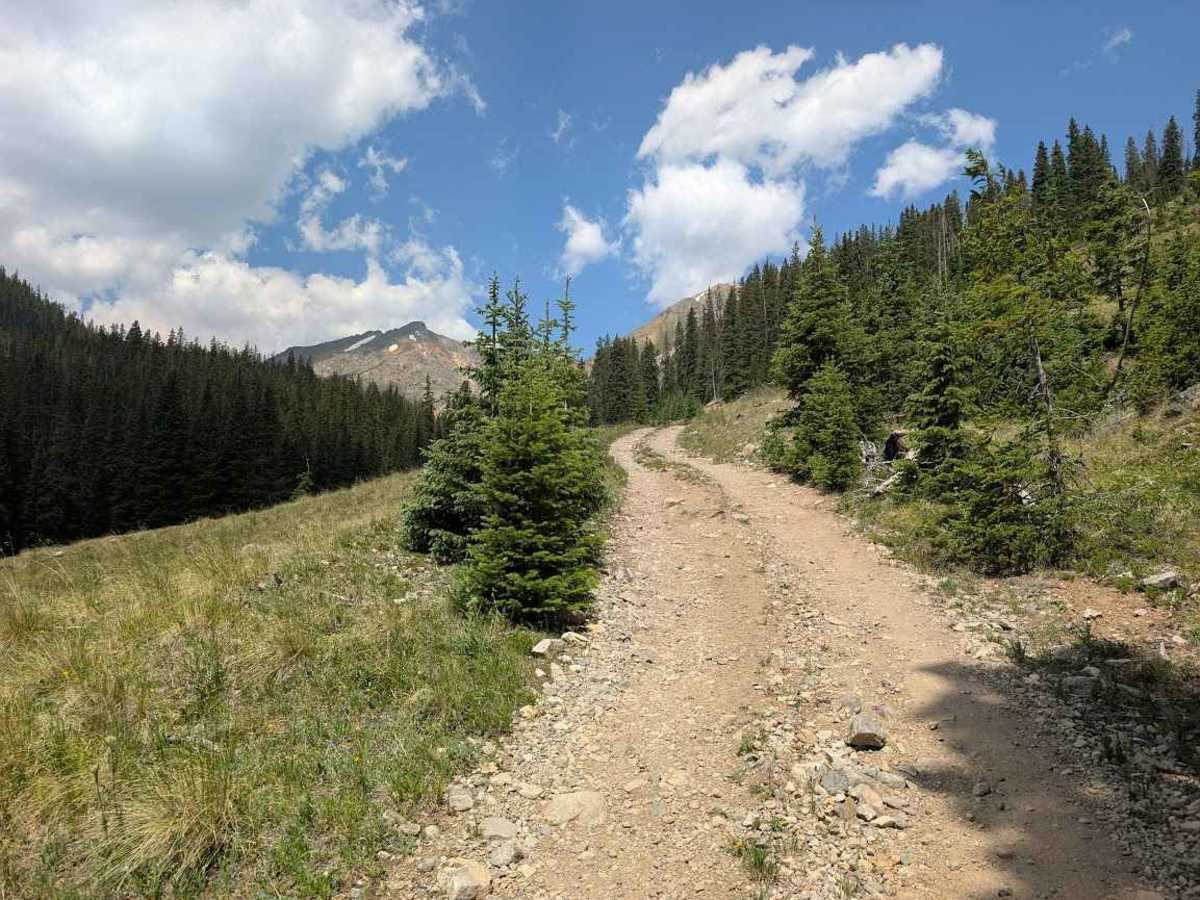
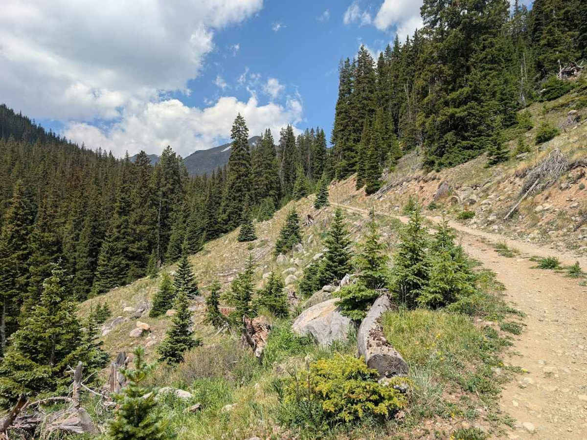
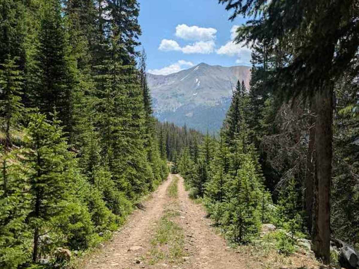
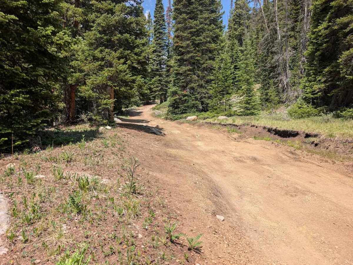
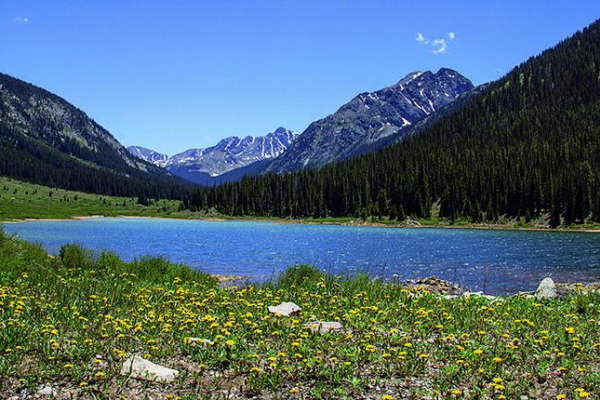
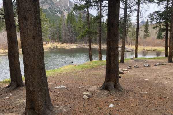
McNasser Gulch appears to primarily be an access road to hiking trails given its shorter length of just over one mile. Trails accessed from the end of this trail include Grizzly Peak, Garfield Peak, and Red Mountain. The route includes sections of shelf road that cross through obvious avalanche paths, and some loose switchbacks. Note that the forest section immediately before the end of the trail can be prone to trees being down across the trail.

Photos of McNasser Gulch 4WD Road

Difficulty

This trail features a shelf road and tight switchbacks.

Technical Rating

3

McNasser Gulch 4WD Road Trail can be accessed by the following ride types:

  • Single Track
  • 50 Inch
  • 60 Inch
  • High Clearance
  • Full Width

McNasser Gulch 4WD Road Map

The onX Offroad Difference

onX Offroad combines trail photos, descriptions, difficulty ratings, width restrictions, seasonality, and more in a user-friendly interface. Available on all devices, with offline access and full compatibility with CarPlay and Android Auto. Discover what you're missing today!

Open Trail Map