Lower Spring Creek Road

Total Miles7.4
Technical Rating
2Easy
Best TimeSpring, Summer, Fall
Trail TypeHigh-Clearance 4x4 Trail
Accessible By
Open Trail Map

Trail Overview

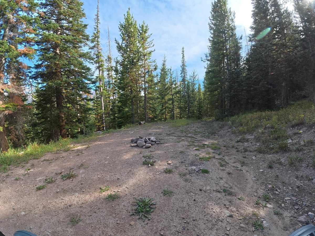
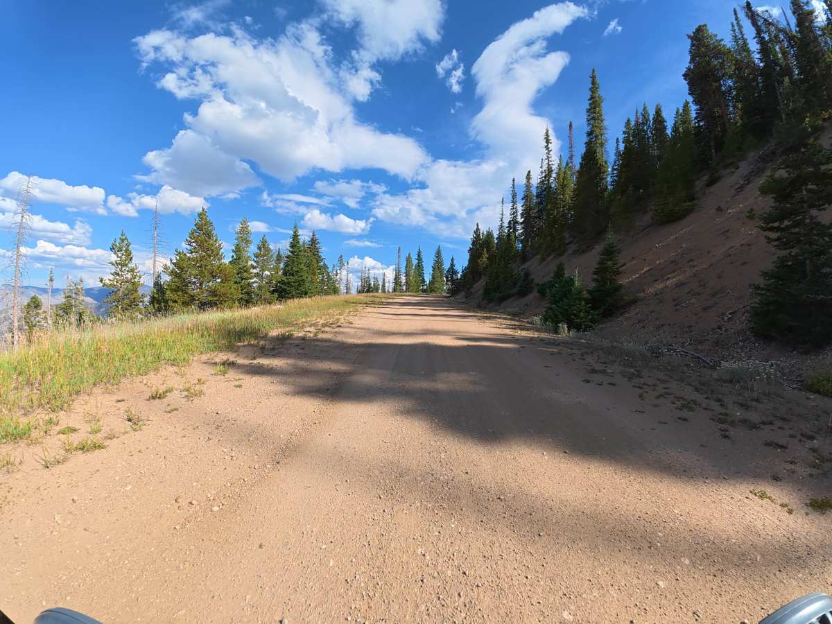
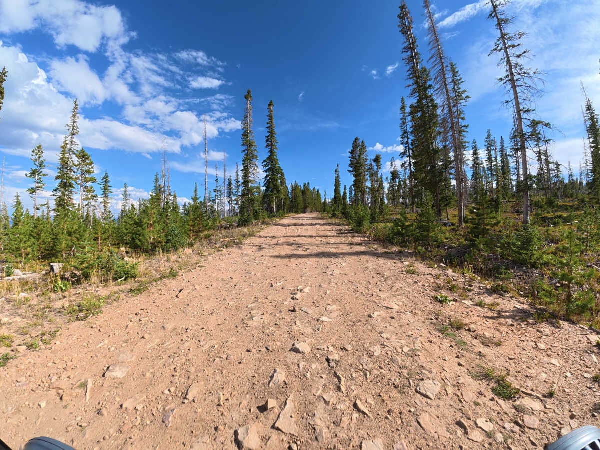
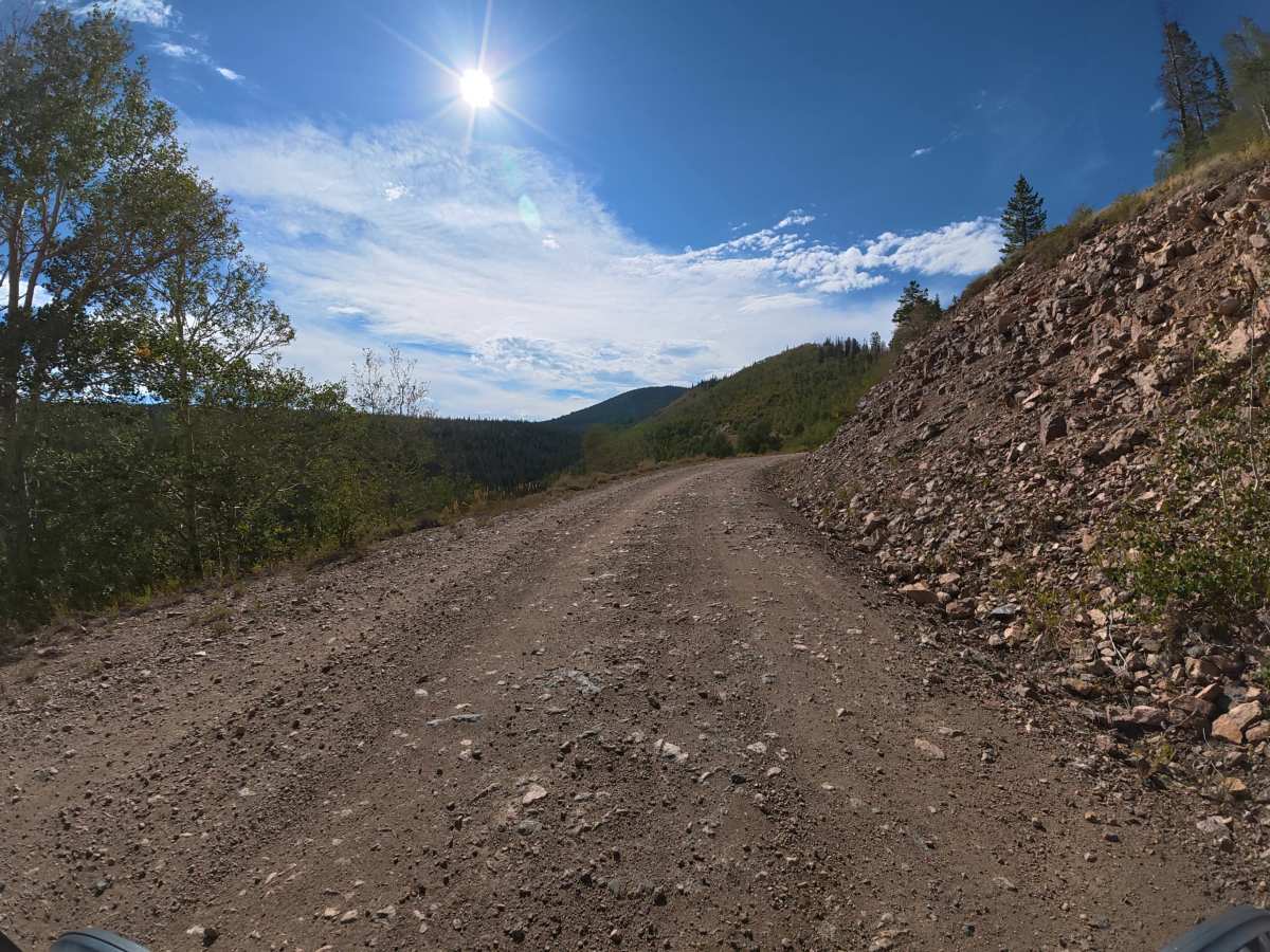
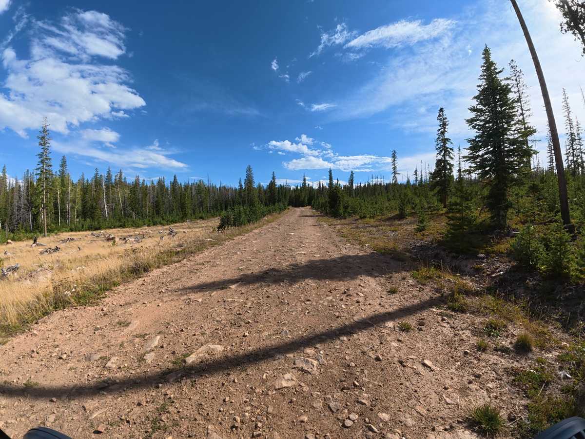
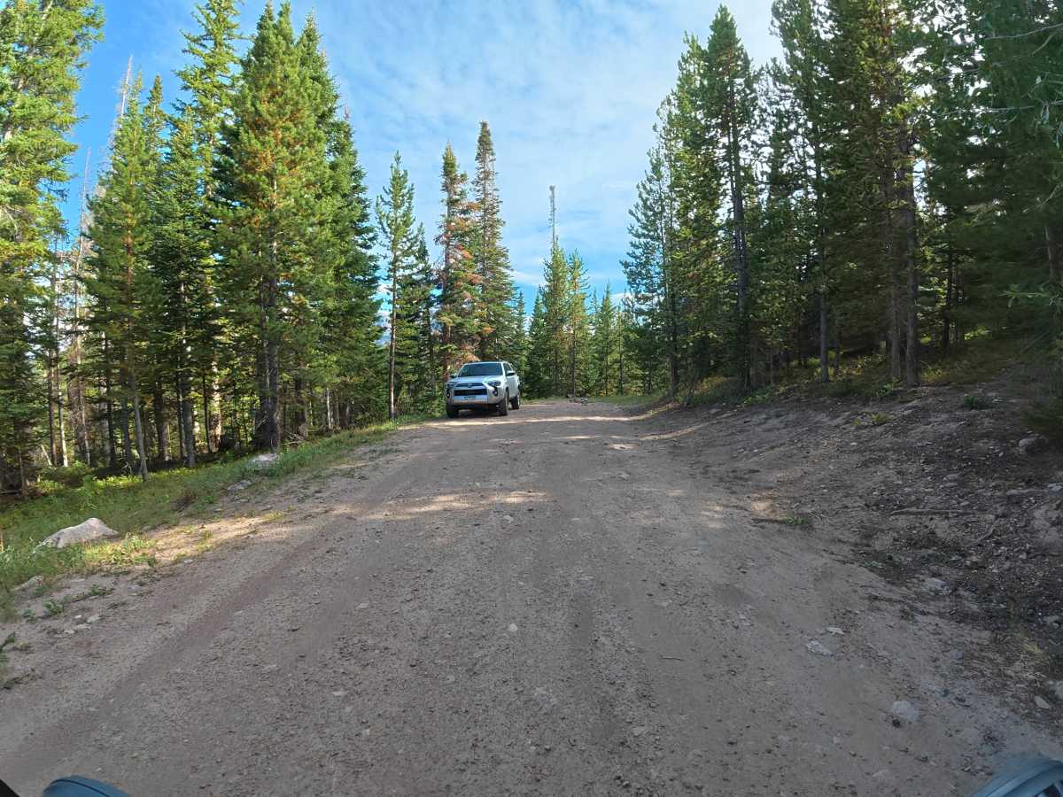
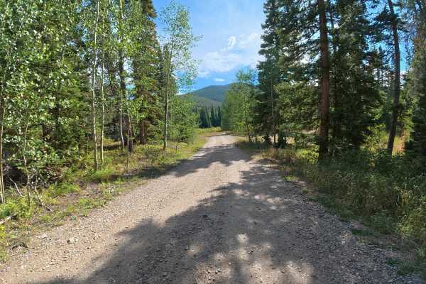
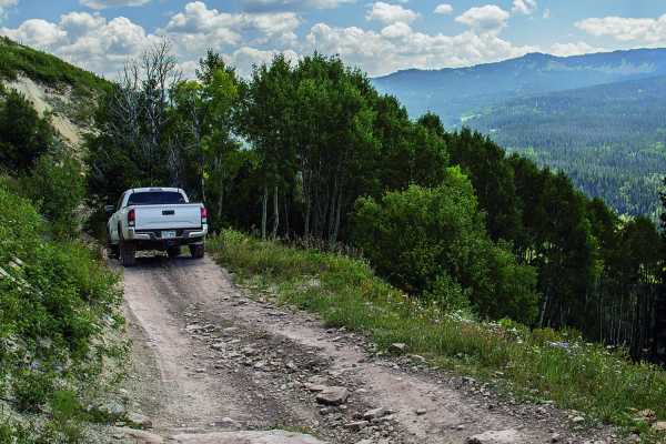
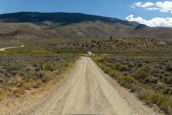
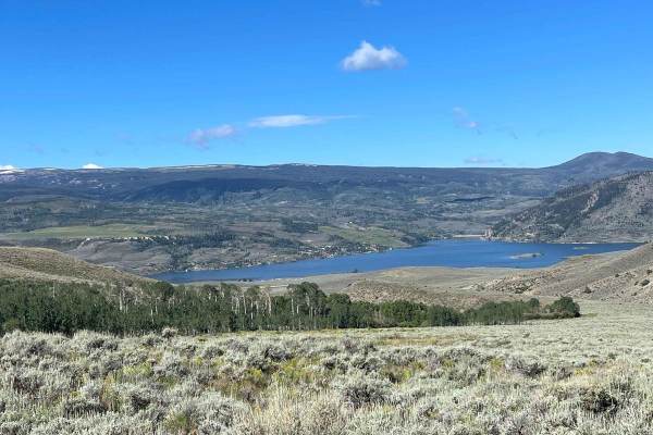
This scenic trail is open to all vehicles, as well as skiing and snowmobiling, and consists mostly of dirt and gravel. The wide route begins with 2–3-inch ruts and winds through dense aspen forest before reaching scenic cliffside sections with excellent mountain views. Around 1.5 miles, small rock gardens begin, with ruts increasing to 8–10 inches around 3.6 miles. Several excellent campsites are located between 4.2 and 4.7 miles, including shaded, private sites for up to four vehicles and larger group camping areas. At 7.1 miles, the trail provides access to Hike 60 / Gore Range, open to hiking, skiing, and horseback riding.

Photos of Lower Spring Creek Road

Difficulty

This trail is rated Level 2 because it is generally wide and easy, with only moderate rock gardens and deeper ruts farther in. It is camper-, van-, and car-friendly when dry, but wet conditions can make the dirt significantly more difficult.

Technical Rating

2

Lower Spring Creek Road Trail can be accessed by the following ride types:

  • High Clearance

Lower Spring Creek Road Map

The onX Offroad Difference

onX Offroad combines trail photos, descriptions, difficulty ratings, width restrictions, seasonality, and more in a user-friendly interface. Available on all devices, with offline access and full compatibility with CarPlay and Android Auto. Discover what you're missing today!

Open Trail Map