Trail Overview
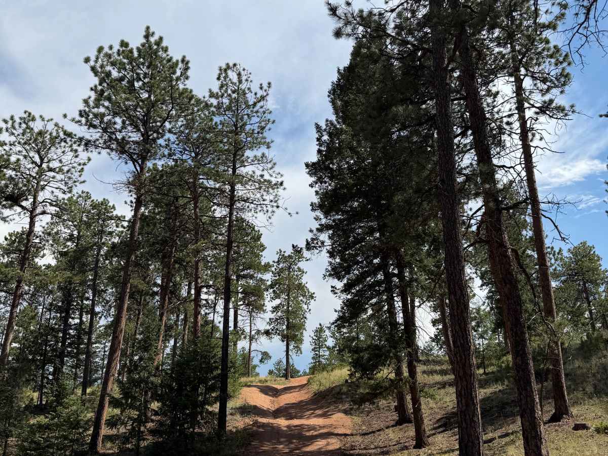
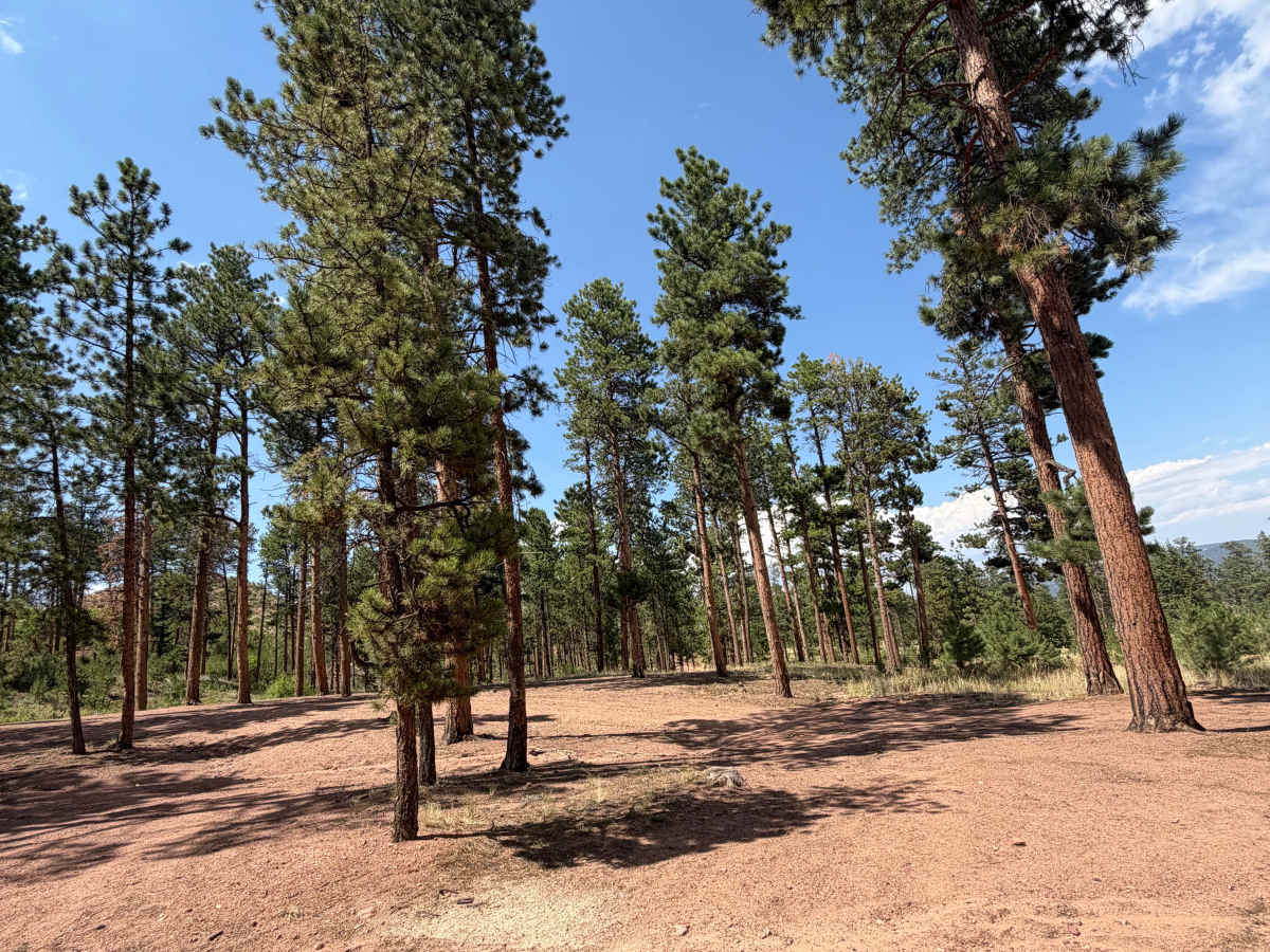
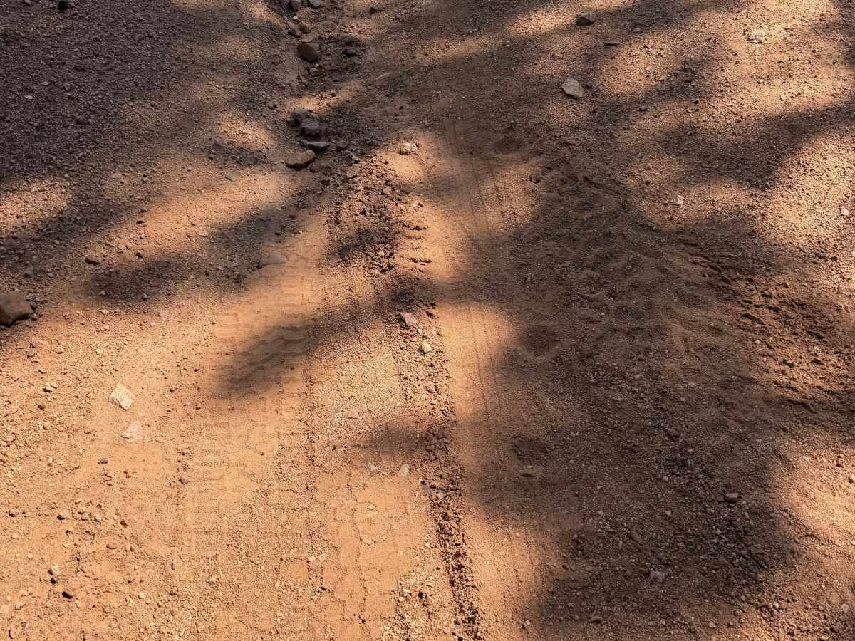
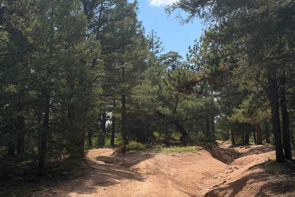
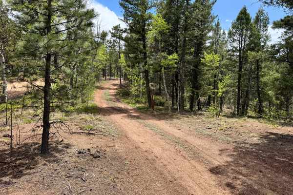
Pass through several dispersed campsites as the trail winds through forest, with camping opportunities found along the route. The trail features lots of large bumps throughout but is not particularly rocky. Drivers will need to maneuver around several rutted sections and weave between trees in a few tighter areas.
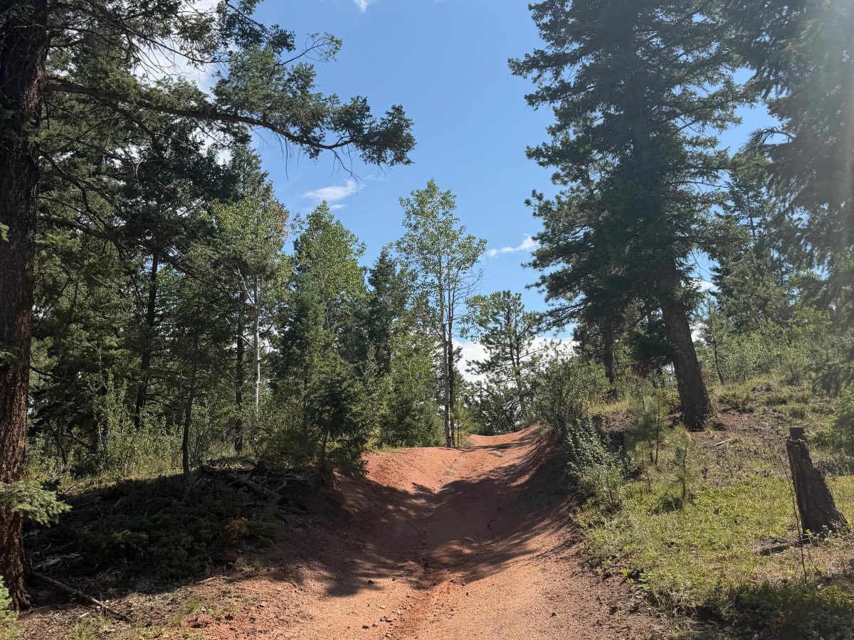
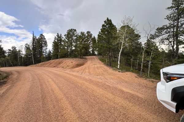
The trail then reaches a very steep incline followed by a blind descent that can limit visibility in full-size vehicles. Approximately three-quarters of the way through, you'll pass abandoned industrial ruins, with a beautiful dispersed campsite located immediately afterward.
The route finishes with a moderate descent before reconnecting with a Forest Service road. The gate at the end of the trail was unlocked during this visit, though gate status may vary.
Difficulty
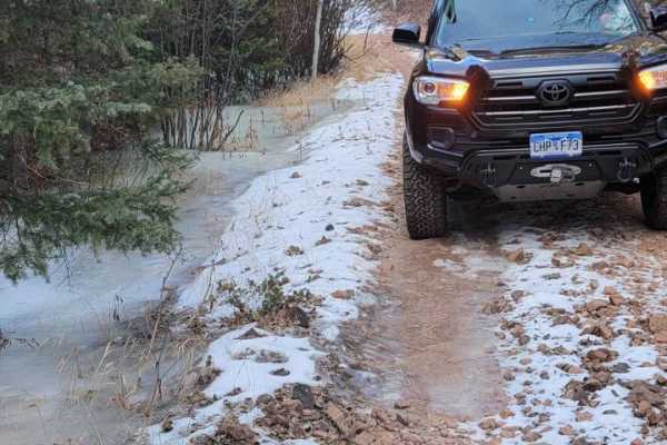
This trail is rated a 4/10 due to the steep incline, blind section, rutted areas that require maneuvering. While the trail is not especially rocky, a high-clearance 4WD vehicle is recommended. Trail conditions can change significantly depending on weather.
History
The trail passes abandoned industrial ruins approximately three-quarters of the way through the route, offering a glimpse into the area's historic mining and industrial past. Please help preserve the site by leaving any historic artifacts undisturbed.