Lime Creek Road

Total Miles11.2
Technical Rating
3Easy
Best TimeSpring, Summer, Fall
Trail TypeFull-Width Road
Accessible By
Open Trail Map

Trail Overview

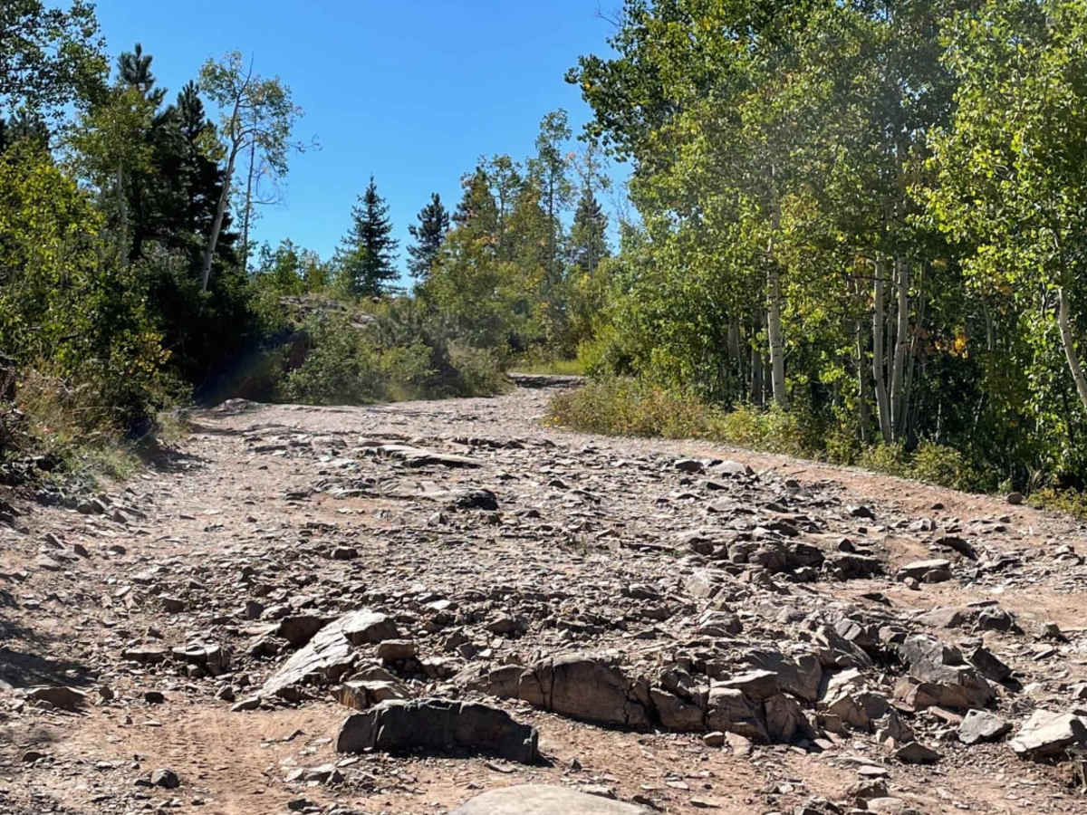
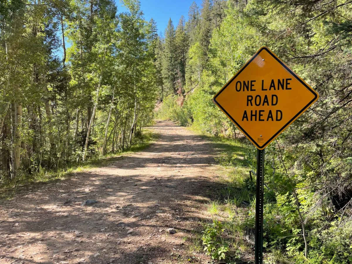
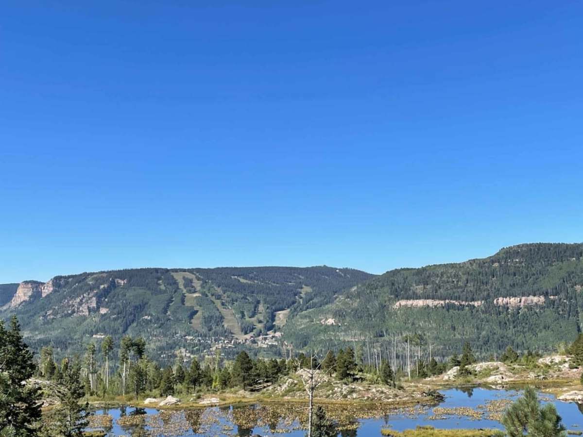
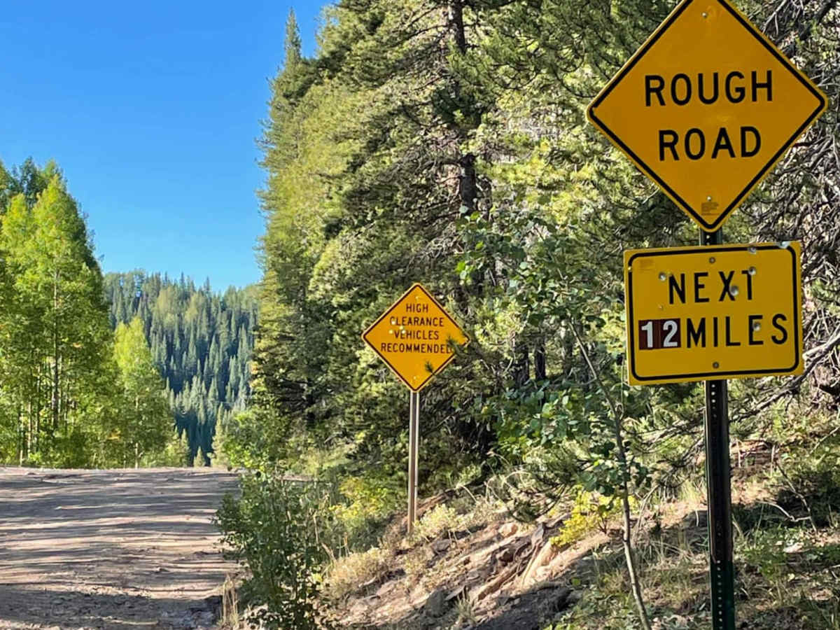
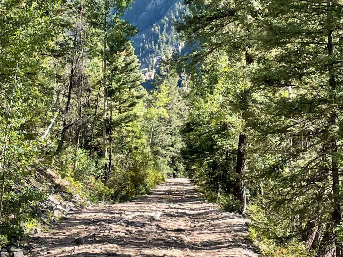
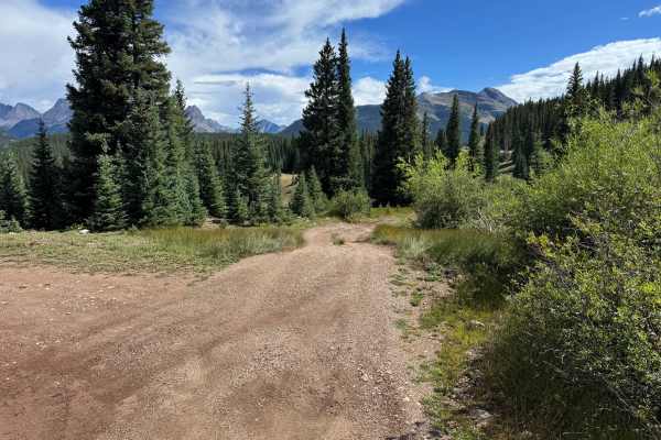
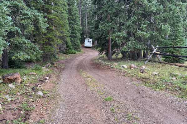
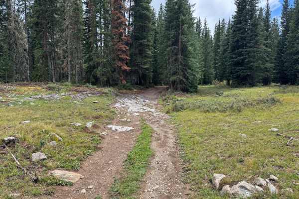
Lime Creek Road is an excellent, scenic forest route for intermediate offroaders and historical sightseers seeking a moderately challenging drive with incredible views of the West Needle Mountains. Stretching roughly 11.2 miles through the San Juan National Forest between Durango and Silverton, this historic trail follows a path originally used by the Ute Indians before prospectors converted it into a mining road in the late 1880s. With an elevation range spanning from 8,769 feet to 9,808 feet, the route provides a stunning journey alongside the rushing waters of Lime Creek. Although the overall trail holds a moderate technical rating of 3, drivers must navigate several very narrow, shelf-like sections with rough, rocky terrain and extremely limited options for passing oncoming vehicles or turning around. Four-wheel-drive capability and high-clearance vehicles are highly recommended to safely negotiate the uneven rock surfaces and occasional washouts along the way. Travel is best done in the summer and fall, as heavy winter snowpack keeps the route closed deep into the spring. Along the drive, visitors will find dispersed camping spots, access to popular hiking trails like the trek to Spud Lake, and exceptional viewpoints of Engineer Mountain and Potato Hill. Whether navigating the tight curves in a high-clearance SUV, a truck, or a SxS, drivers should exercise caution, maintain a slow pace, and yield to oncoming traffic on the single-lane segments of this rugged mountain pass.

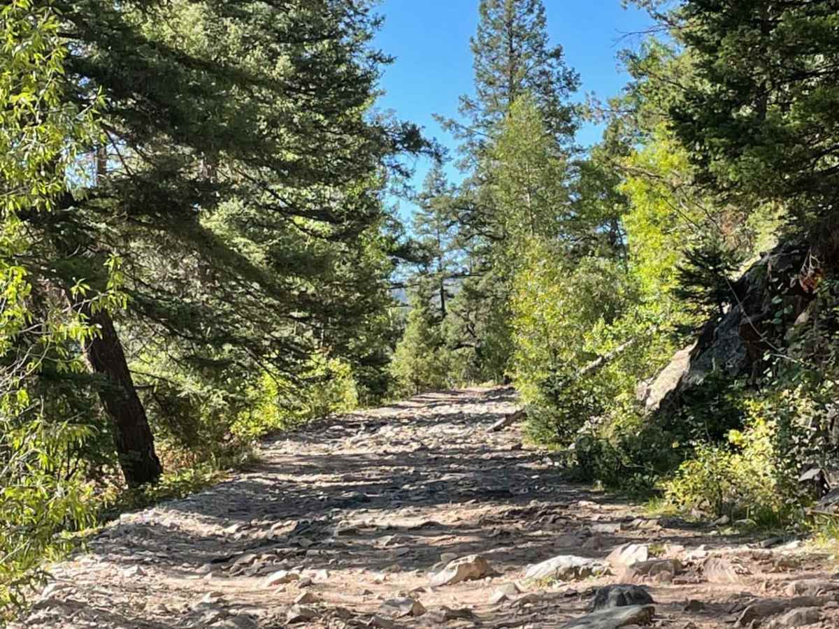
Photos of Lime Creek Road

Difficulty

Narrow sections of the trailer with very rough rock conditions

History

Lime Creek Road has rich historical roots, starting as a traditional hunting trail used by the Ute Indians. In the late 1880s, prospectors and pioneers converted it into a wagon road to access the mining districts in Silverton. Later, in the 1930s, the Civilian Conservation Corps (CCC) made further improvements to the route, shaping it into the road that exists today.

Technical Rating

3

Status Reports

Add Status Report
jeff brandt
Nov 09, 2025
2021 Jeep Wrangler
Temporarily Closed
Closed GatePosted Sign
It is not completely closed, We could get in 3 miles ( to the lake ) entering from the south end. North side unknown
Rich Wimberly
Oct 25, 2025
Temporarily Closed
Closed Gate
Joseph Ramos
Oct 05, 2025
Open
Rough/Deteriorated
Road was rocky and there were a few points where I could see in a compact suv you’d have to choose the right line on the trail to not scrape on rocks other than that if the weather permits any suv with awd and truck with 4x4 can make this no problem. We only stopped at the potato lake trail head and did not go up the trail further. There are some points where you can pull off to the side to let others pass and there are some narrow points as well
rick o
Sep 12, 2025
2025 Toyota Tundra
Open
Muddy/WetSnow/Ice
Ran into a couple vehicles on the right section of the trail but we passed with no issues. Pea sized hail fell for about 30 minutes followed by heavy rain that added to the difficulty level and added a bit more roughness to the trail. Over all not difficult just had poor conditions.
jeff brandt
Jul 27, 2025
2021 Jeep Wrangler
Open
NormalRough/Deteriorated
This was rated 3. I say it is a 4 . There have been 3 or 4 rockslides narrowing the trail
Laura P
Jul 26, 2025
Open
NormalDustyRough/Deteriorated
Great trail with quite a few dispersed camping sites. Easily doable with our Gladiator. Pretty good number of people out there. The app will navigate you to a dispersed campground and tell you to turn around but you can continue the trail all the way to 550 closer out to Silverton.
Jay Packer
Jul 08, 2025
Open
Rough/Deteriorated
Rough road leading up to and beyond Potato Lake, but no real obstacles. Picked a good line a few times, but even then, most rocks were pretty short. Never bottomed out in stock 4Runner TRD Off-Road. No steep grades. Pretty easy for a vehicle with a little clearance. Only real challenge is it's narrow in places and could be challenging if you met another vehicle and had to back up. Used my passenger to watch wheel placement out passenger window. Could have carefully done it solo but easier this way. Encountered a family of marmots that did not give a... and scornfully monitored our passage through their domain. Absolutely beautiful drive. Also hiked to Potato Lake. Great day.
Keegan Mathur
Jun 01, 2025
2025 Subaru Crosstrek
Open
Muddy/WetRough/Deteriorated
Really cool & scenic trail, very rough/deteriorated in a few spots. We didn’t finish as we ended up getting caught in a downpour with some snow mixed in and the road started getting too slick for the clearance I had (and the desire to keep my car in one piece). If the weather is good you’re probably fine in a Subaru Wilderness, but I’d say that’s the bare minimum for clearance. Plenty of paths to take that avoid the worst spots, but they can be tight. We saw a lifted Tacoma scape as we passed by each other.
Felix Menchaca
May 28, 2025
Open
DustyRough/Deteriorated
Lime Creek Rd has some of the most amazing views of any trail in Co. Lots of new rock piles on some skinny areas of the trail. Looks like they have been moved to the edge but it forces you to ride in the edge of the road. Only about 3-4in between your tire and the edge of the cliff in some areas so make sure to have a spotter on the opposite side. Besides these rock piles, no real need for four wheel drive if you stick to the main path
Mason Wolters
Apr 20, 2025
2011 Toyota Tacoma
Open
Muddy/WetSnow/Ice
Pretty dry up until right after spud lake, then some pretty deep snow spots got suck for an hour
Robert Adeky
Apr 13, 2025
2021 Toyota Tacoma
Obstructed
Yellow tape blocking the road before a snowy patch. Can’t get ahold of the ranger station to confirm the status of road so I turned around and respected the yellow tape (for now)
Joseph Ramos
Apr 12, 2025
Open
Muddy/WetSnow/Ice
A big snow/ icy patch in the beginning of the trail. Looked like once you get passed it, it becomes clear.
Drew G
Oct 13, 2024
Open
Rough/Deteriorated
Dennis Osting
Oct 02, 2024
2022 Ford Bronco Sport
Open
Rough/Deteriorated
I marked it deteriorated only because additional rocks had fallen down in some of the most narrow sections making it even more narrow. It might be troublesome for longer wheelbase vehicles. The Aspen trees are very vibrant now! Beautiful area!
David Lee
Sep 19, 2024
2023 Toyota 4Runner
Open
NormalMuddy/WetRough/Deteriorated
Did his trail two years ago and it has deteriorated since. Much rockier than I remember and rockfalls if several places have narrowed the road.

Lime Creek Road Trail can be accessed by the following ride types:

  • Single Track
  • 60 Inch
  • High Clearance
  • Full Width

Access Description

Lime Creek Road is managed by the U.S. Forest Service within the San Juan National Forest. It is a seasonal road, typically open from late spring or early summer through late autumn depending on winter snow accumulation. There are no fees or permits required to drive the road, but high-clearance, four-wheel-drive vehicles or SxSs are highly recommended due to the rough, rocky, and narrow nature of the trail.

Lime Creek Road Map

The onX Offroad Difference

onX Offroad combines trail photos, descriptions, difficulty ratings, width restrictions, seasonality, and more in a user-friendly interface. Available on all devices, with offline access and full compatibility with CarPlay and Android Auto. Discover what you're missing today!

Open Trail Map