Trail Overview
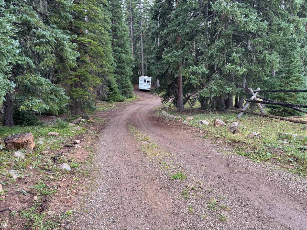
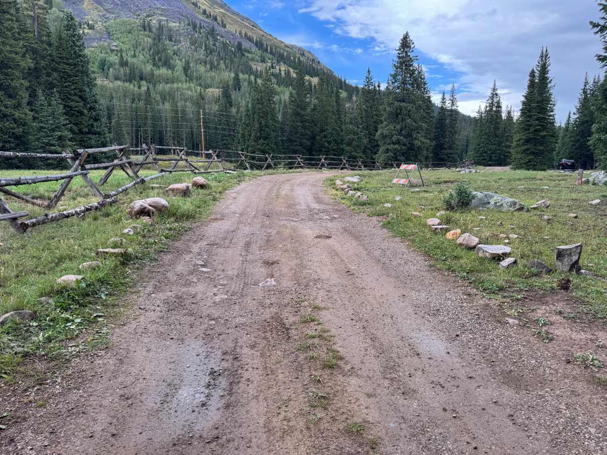
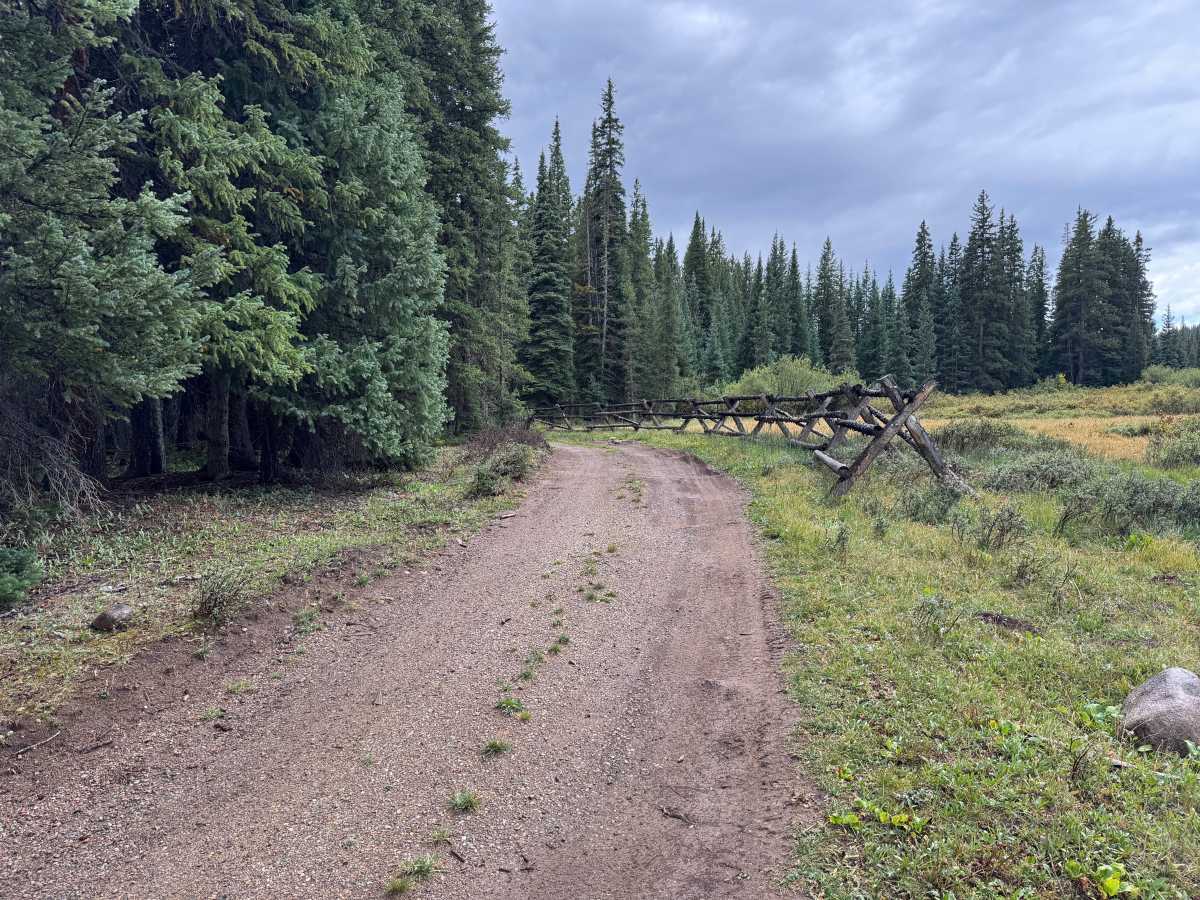
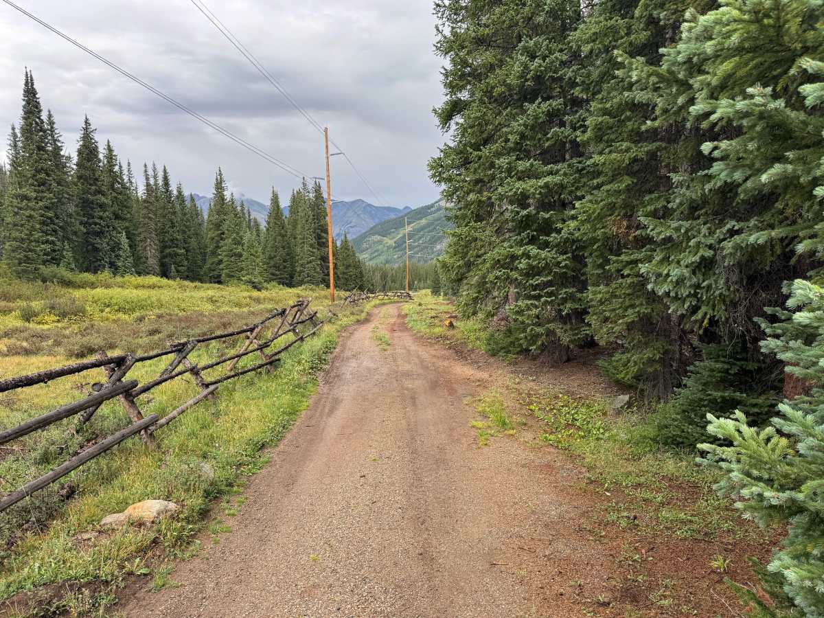
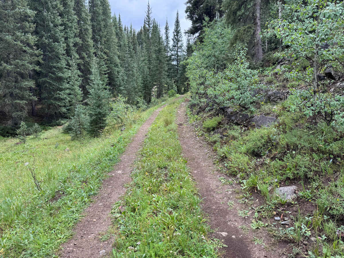
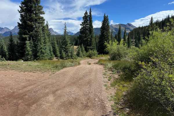
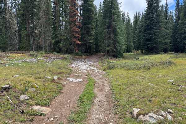
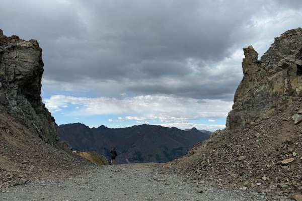
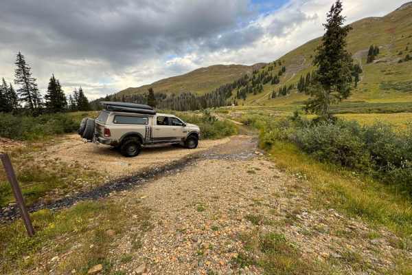
This route begins at the Molas camping area, where several established campsites are available among the surrounding evergreen forest and high mountain meadows. The route initially follows a relatively smooth and wide dirt and gravel road through the campground, passing split-rail fencing, open meadows, and dense stands of spruce and fir. As the route continues beyond the camping area, it transitions into a much narrower two-track surrounded by thick vegetation, young aspens, evergreens, grasses, and low brush. The trail surface remains primarily packed dirt with scattered rocks and vegetation growing between the tire tracks. Farther along, the trees and brush begin encroaching on the trail, making pinstriping or paint scratches very likely. A suitable turnaround is available before the route becomes considerably more exposed above US 550, the Million Dollar Highway. Using this turnaround is highly recommended rather than continuing beyond this point.
Difficulty
Mostly smooth dirt and gravel with few obstacles and minimal clearance concerns. The route becomes narrow and overgrown beyond the camping area, where pinstriping is likely and turnaround opportunities become limited.
History
The mountains surrounding Silverton contain one of Colorado's most significant historic mining districts. Prospecting began during the 1860s, and the first profitable vein in the area was discovered in Arrastra Gulch in 1871. That discovery helped trigger extensive exploration for gold, silver, lead, copper, and other minerals throughout the surrounding mountains. Mines, mills, aerial tramways, wagon roads and eventually narrow-gauge railroads were constructed to move workers, equipment and ore through the rugged San Juan Mountains. Arrastra Gulch, Little Giant Basin, Kendall Mountain and the surrounding drainages contain remnants of this mining era. The arrival of the Denver & Rio Grande narrow-gauge railroad connected Silverton with Durango and helped transform the isolated mining camp into one of the San Juan Mountains' major mining centers. Many of today's backcountry roads follow transportation corridors created to reach these historic mines and settlements.