Trail Overview
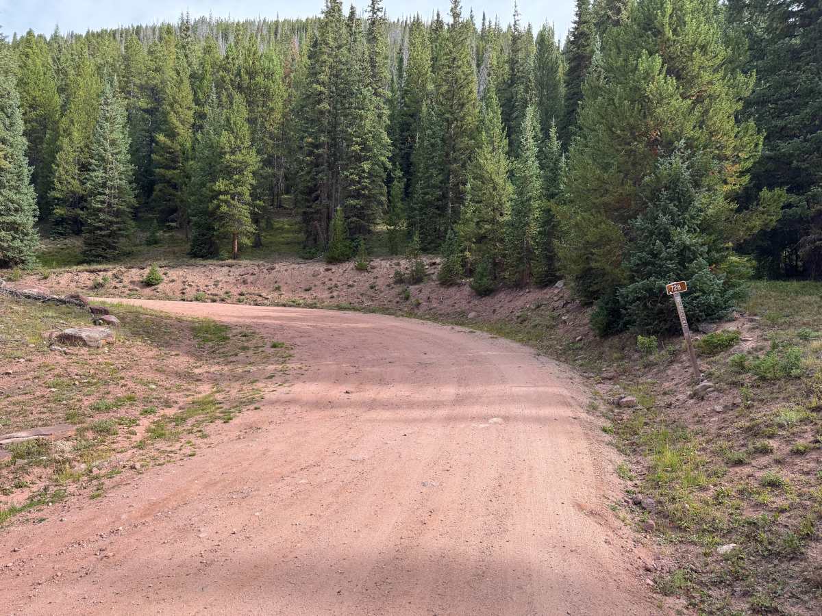
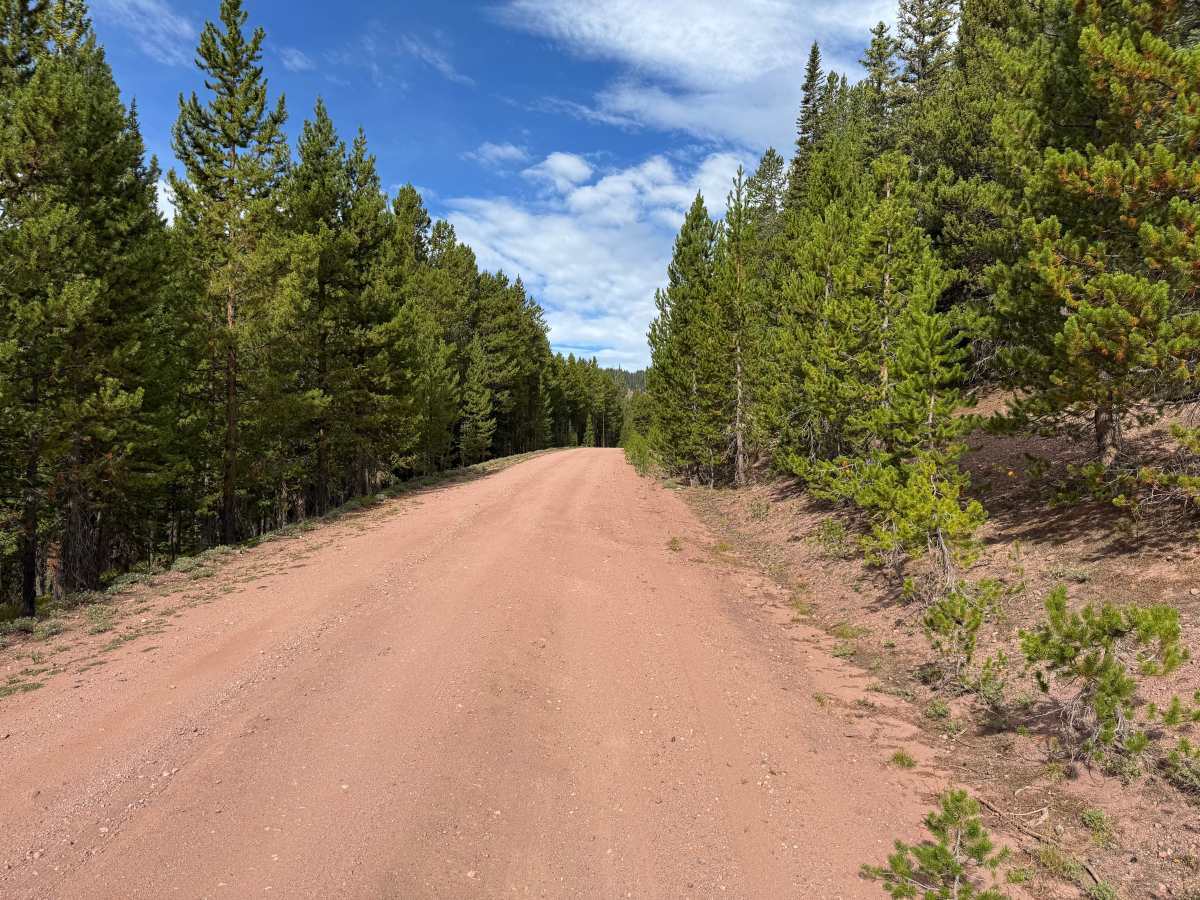
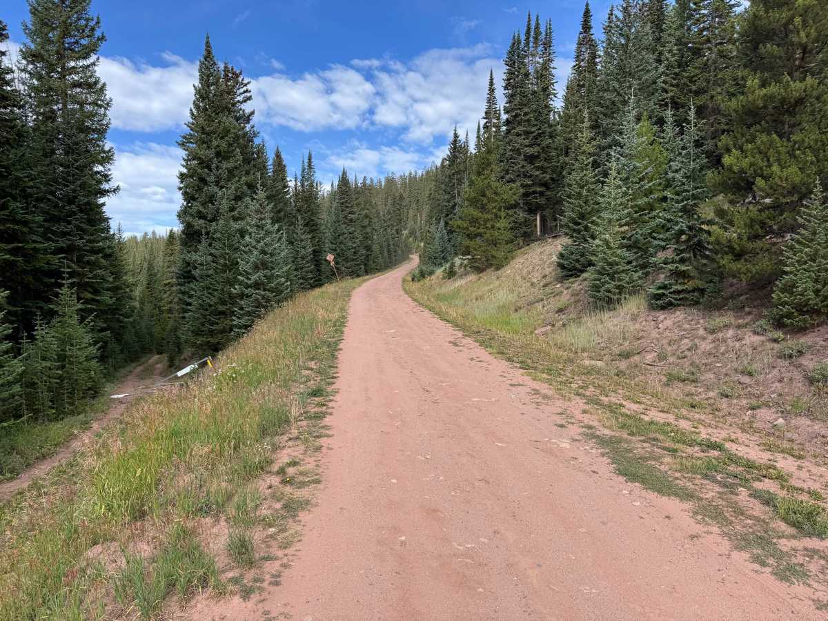
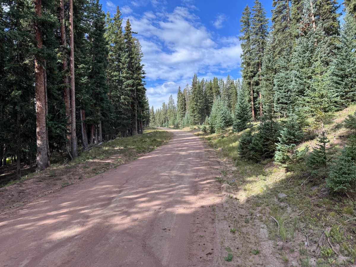
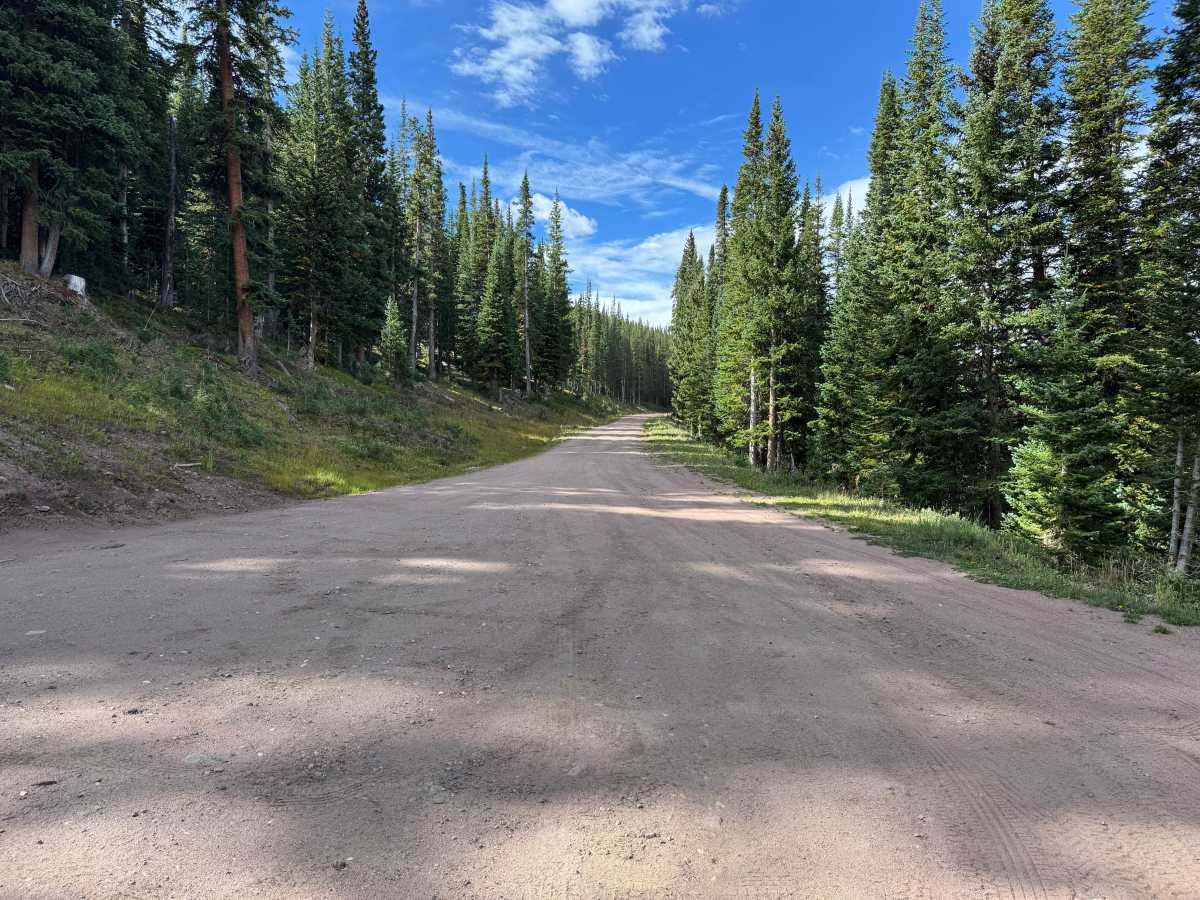
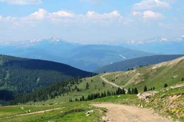
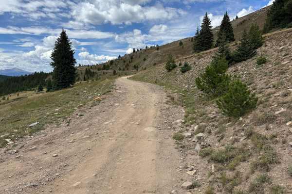
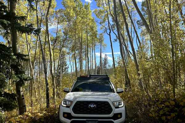
This route follows a wide, well-maintained dirt and gravel road through dense high-elevation forest. The surface is predominantly hard-packed dirt with stretches of fine gravel and only occasional small embedded or loose rocks. The road remains wide enough for vehicles to comfortably pass through most of the route and has broad, gradual curves as it winds through the trees. Grades are generally mild to moderate with no significant ledges, deep ruts, or other technical obstacles. Much of the drive is surrounded by thick stands of pine, fir, and spruce, creating a heavily forested setting. Several dispersed camping options can be found along the route, providing opportunities to camp among the trees. The route eventually reaches a large turnaround area at its end, beyond which the route transitions into a snowmobile route used during the winter months.
Difficulty
The route consists primarily of wide, well-maintained, hard-packed dirt and fine gravel with occasional small loose or embedded rocks. Grades are mild to moderate, and there are no significant ruts, ledges, erosion, or technical sections requiring careful tire placement.
History
This area has a diverse history tied to mining, railroads, early transportation routes, and military training. Red Cliff developed during Colorado's mining era, while railroads and mountain roads were constructed through the surrounding valleys and passes to connect mining communities. Camp Hale was established during World War II as the training center for the U.S. Army's 10th Mountain Division, whose soldiers trained in the area's rugged winter mountain terrain before fighting in Europe. Remnants of mining, railroad, transportation, and military history can still be found throughout the surrounding mountains and valleys.

 Offroad