Trail Overview
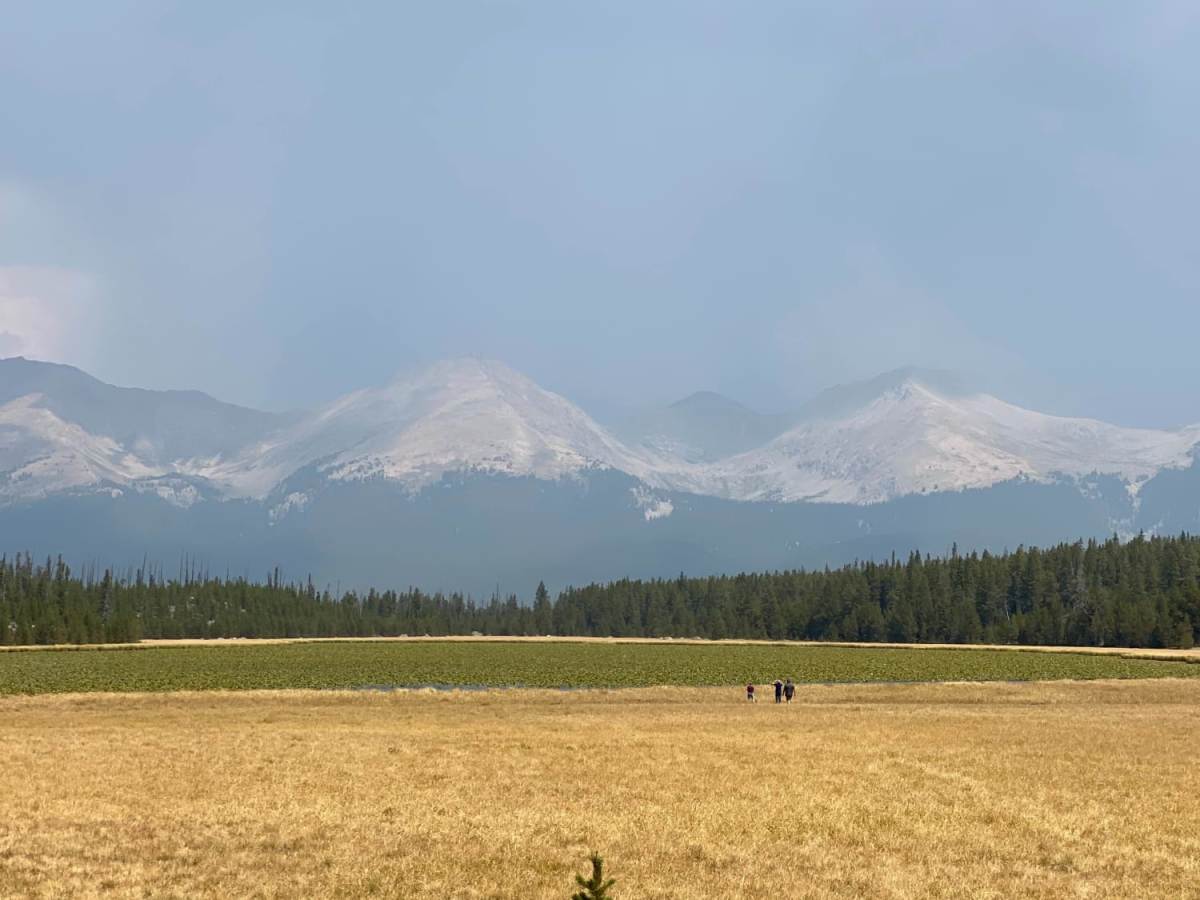
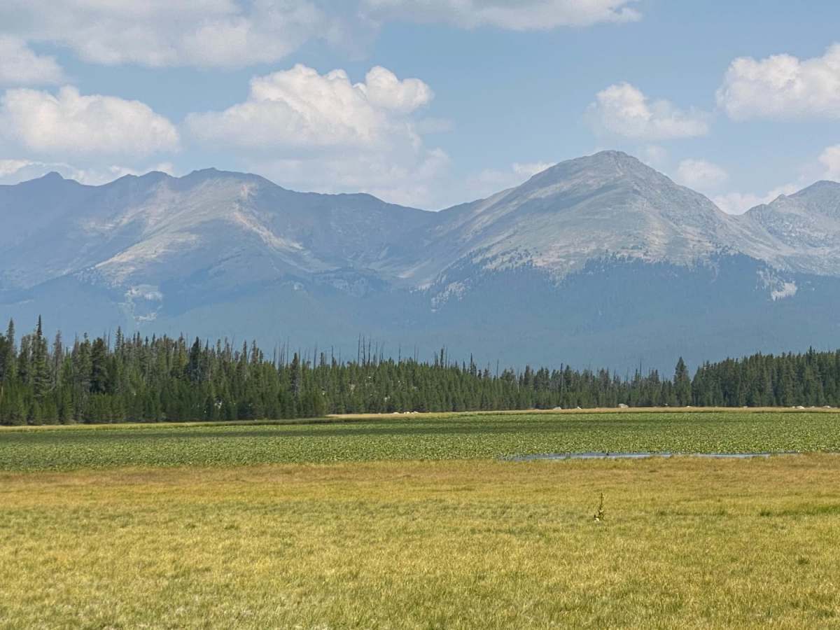
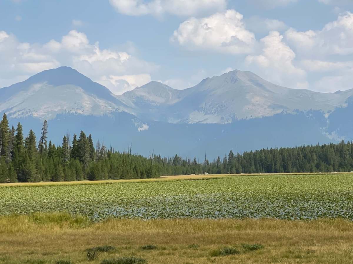
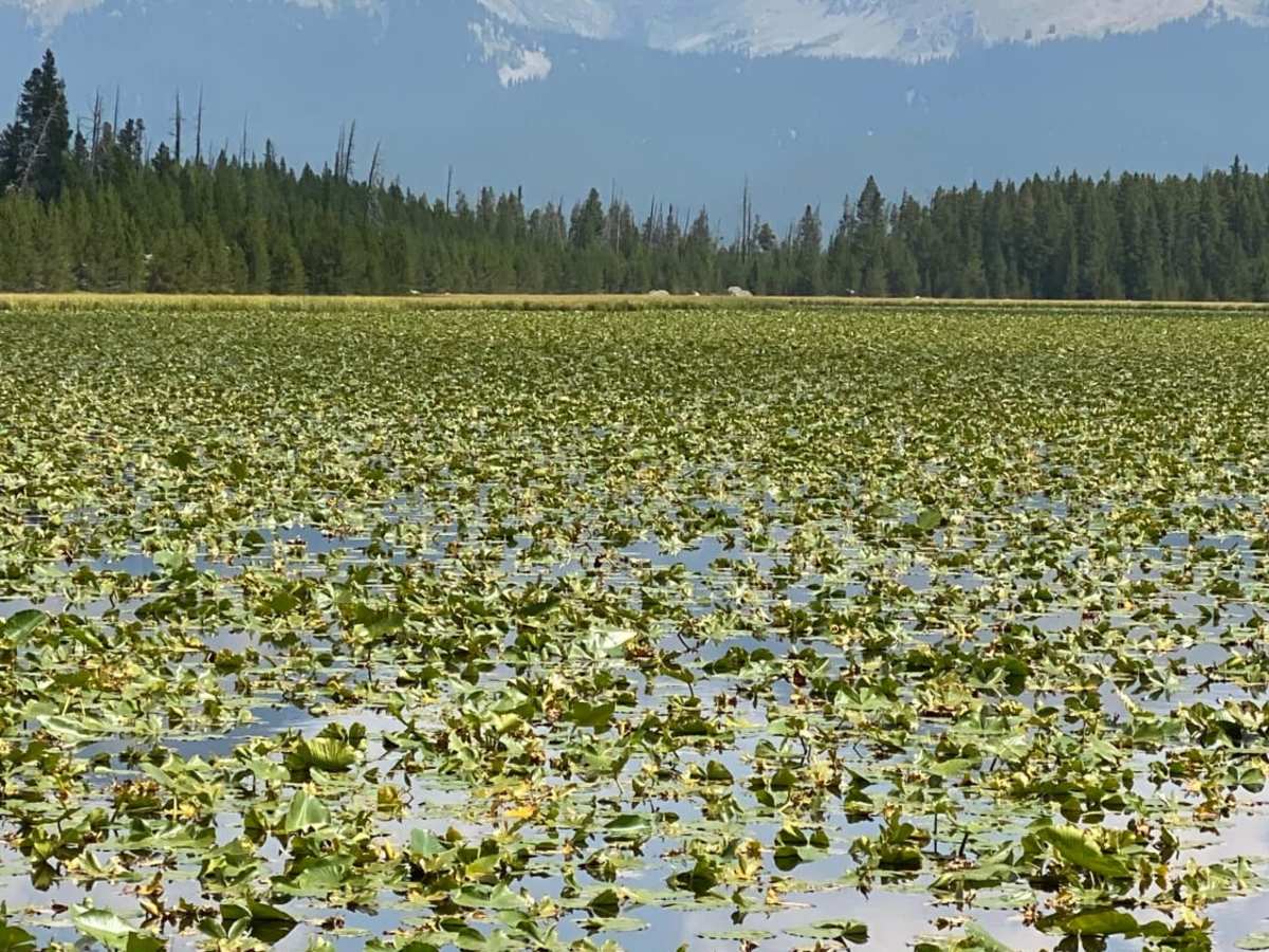
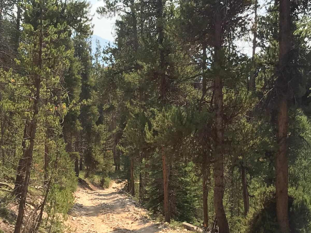
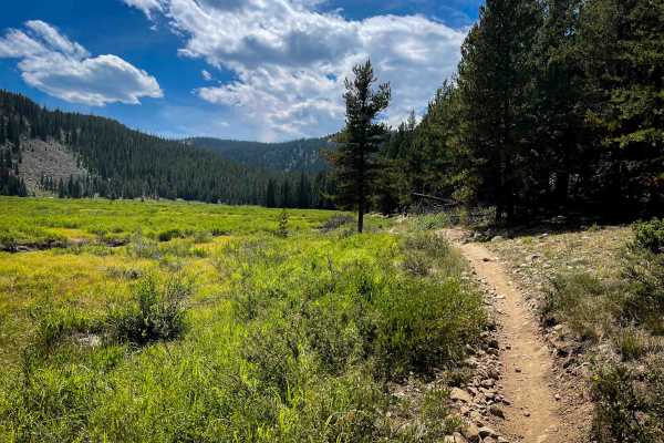
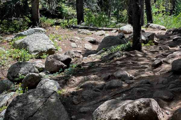
Designed for scenic explorers and history enthusiasts, Lily Pond is a short, picturesque connector trail that links Forest Road 760 with the historic Forest Hill Mine site in Colorado's Gunnison National Forest. This route offers a moderate offroad challenge through dense high-country pine forests, showcasing beautiful views of the Collegiate Peaks reflecting off the pristine waters of Lily Pond. The trail is rated a 3 out of 10, characterized by a natural dirt surface that becomes exceptionally slippery when wet, requiring careful tire placement over exposed tree roots and deep ruts. High-clearance four-wheel-drive vehicles, SxSs, and dirt bikes can easily navigate these obstacles, though drivers should remain mindful of changing weather conditions that can quickly increase the difficulty of the muddy terrain.
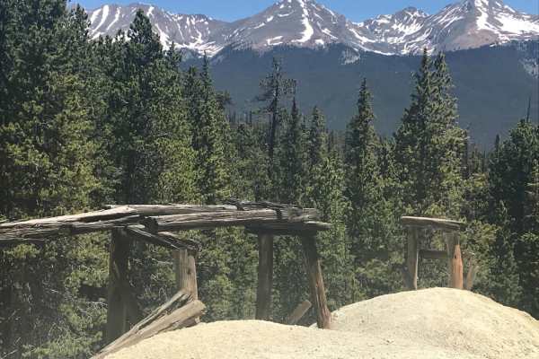
Spanning approximately 0.8 miles, this short spur climbs from an elevation of 10,502 feet near the pond up to 10,781 feet at the historic mine, accumulating roughly 275 feet of elevation gain. Along the way, travelers will wind past an old building located just south of the pond and can explore the remnants of the Forest Hill Mine at the eastern terminus. The trail is best run from late June through September when the high-altitude snow has melted and wildflowers are in full bloom. Because this route sits at over 10,000 feet, winter snowpack lingers late into the spring, making mid-summer the ideal time to plan a trip to this scenic alpine destination.