Trail Overview
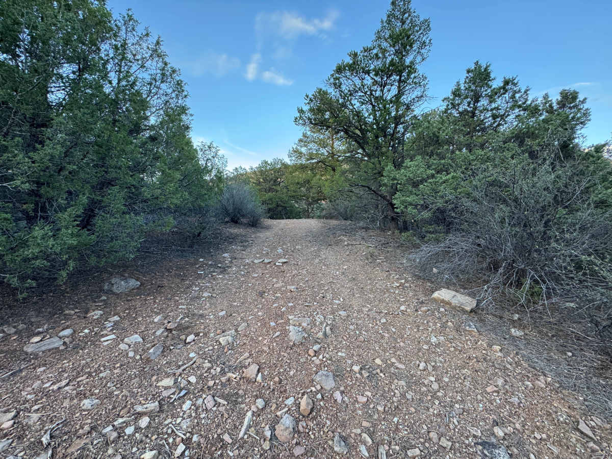
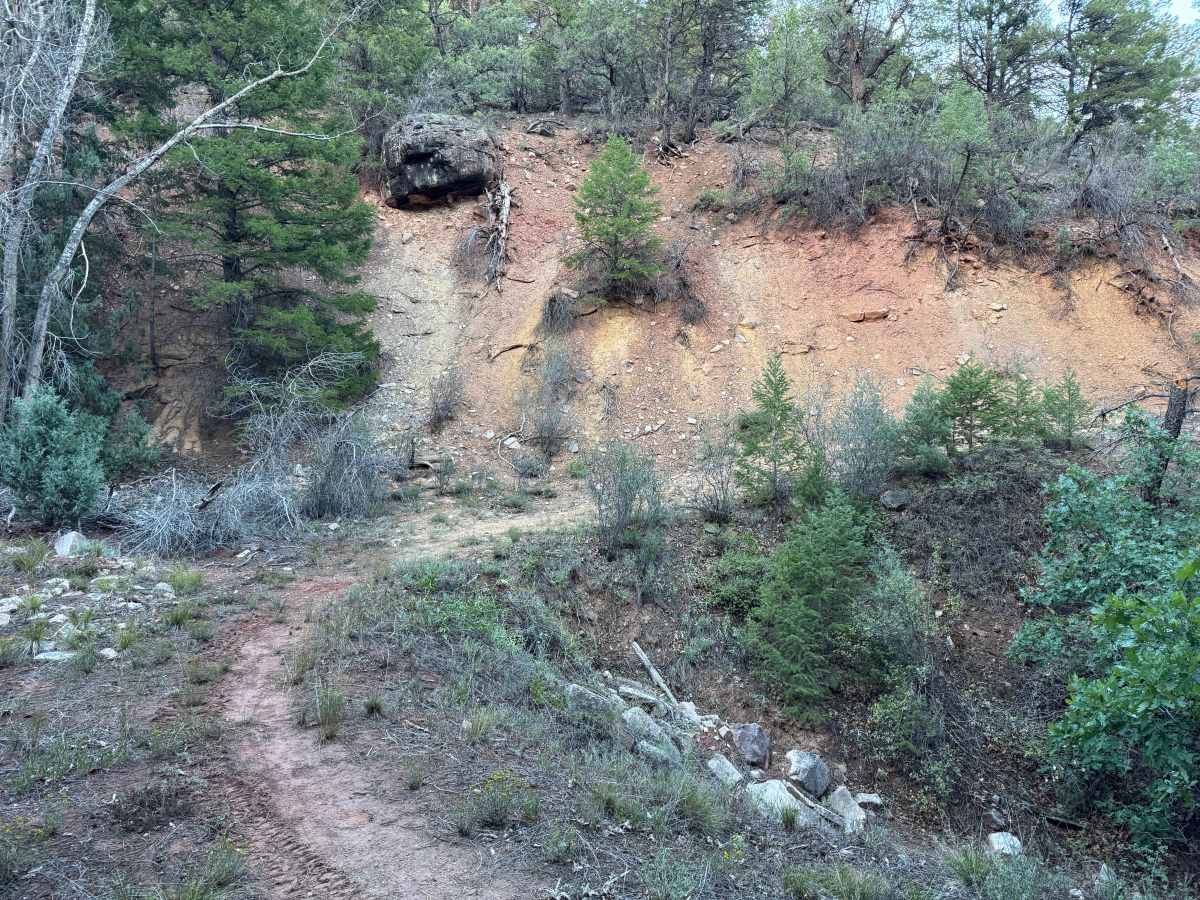
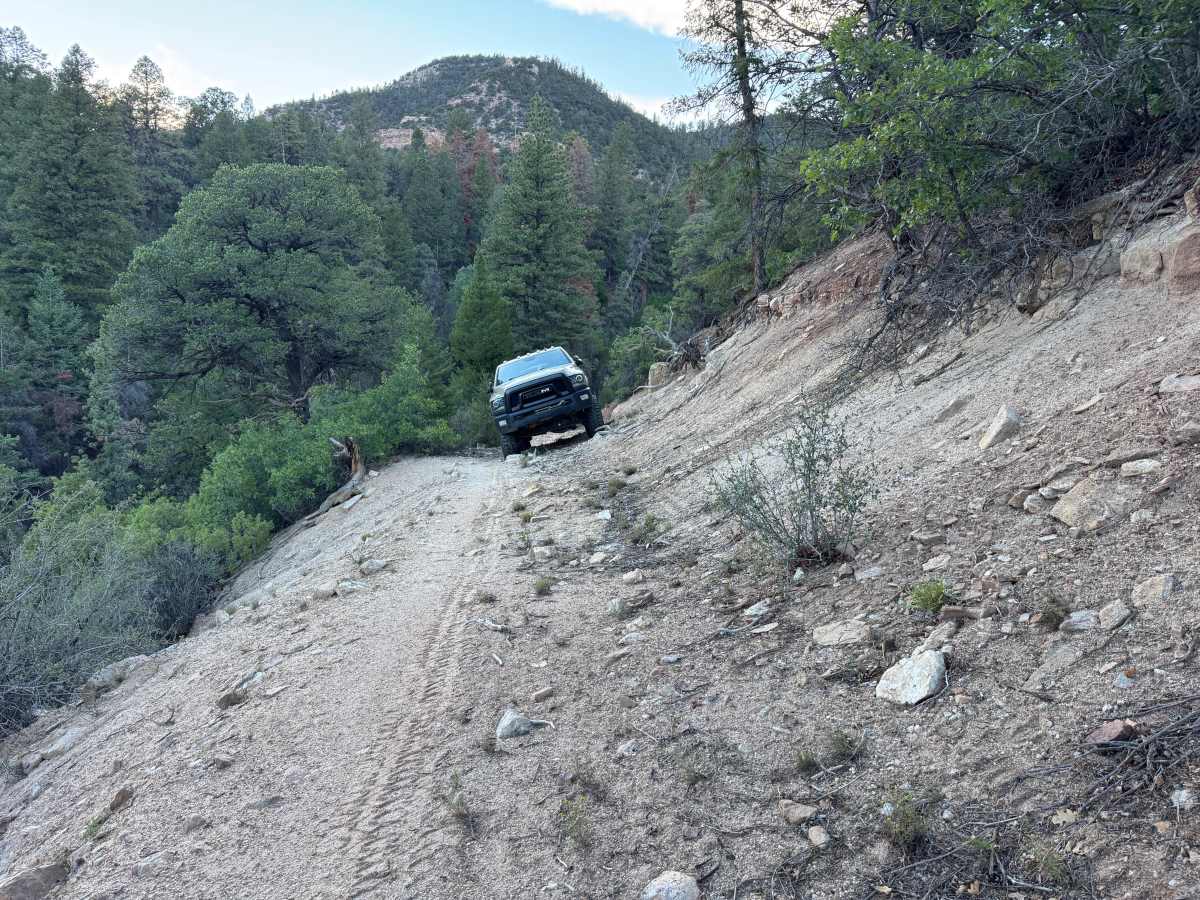
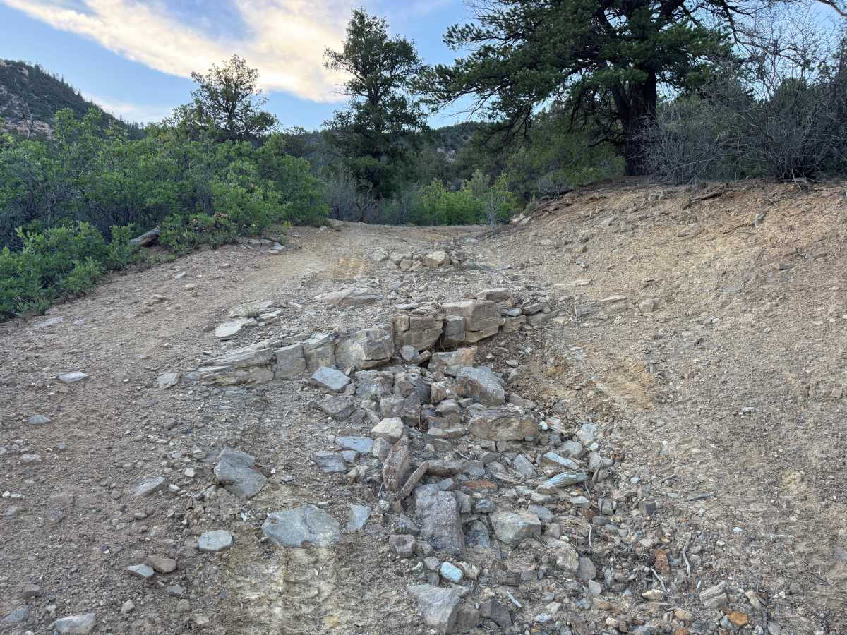
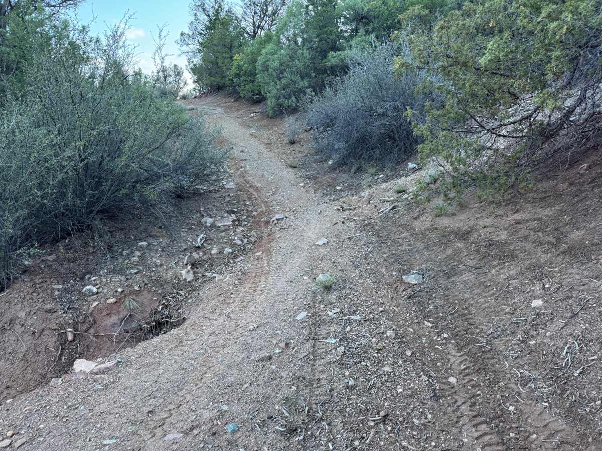
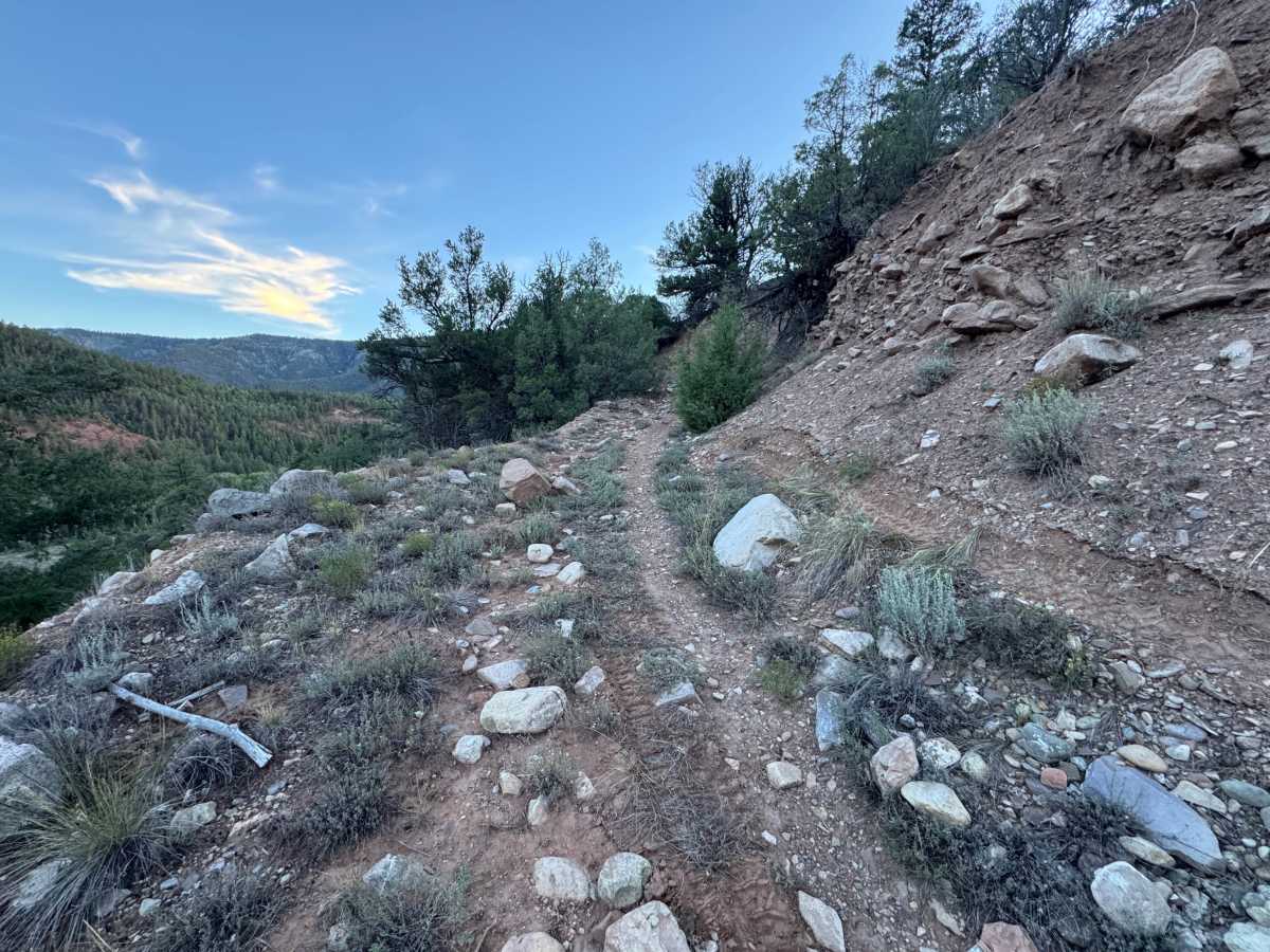
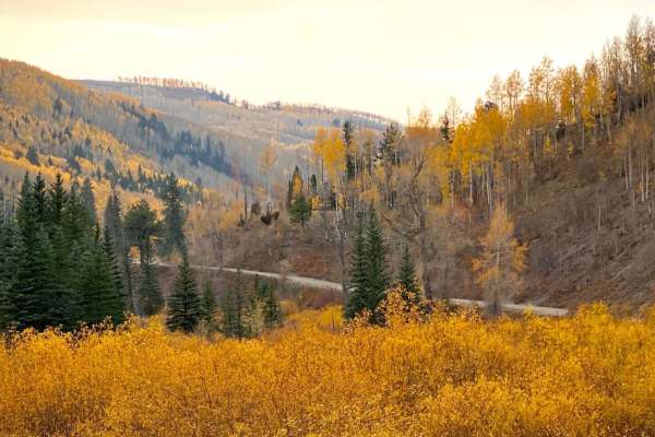
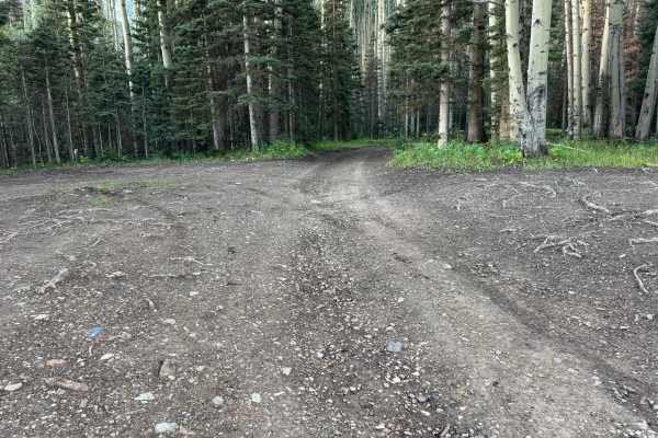
This narrow out-and-back route travels along a steep, wooded mountainside with a mix of soft, loose sand and dirt, scattered rocks, and several rougher rocky sections. Water erosion has created at least two to three washed-out areas that may be challenging for wider vehicles or those with longer wheelbases. Several sections are noticeably off-camber, with steep drop-offs along the downhill side of the trail and loose material that can reduce traction. Expect some rocky climbs and descents, exposed rock ledges, and areas where erosion has narrowed the usable path. Dense pine, juniper, oak, shrubs, and other mountain vegetation grow close to the trail, with branches extending into the route, making pinstriping and scratches very likely. The surrounding terrain is rugged, with steep slopes, rocky outcroppings, and heavily wooded drainages. Because this is an out-and-back trail with no through route, every obstacle and narrow section must be traveled again on the return trip.
Difficulty
Narrow and technical with loose dirt and sand, rocky climbs, water-eroded sections, and several off-camber areas. Wider and longer-wheelbase vehicles may have difficulty in spots. Steep drop-offs and limited passing room require careful tire placement. Four-wheel drive and good ground clearance are recommended.
History
The hills surrounding Leopard Creek and Placerville have an extensive mining history dating to the late 1800s. Numerous historic workings are located nearby, including the Black King, Omega, and Donovan Placer mines. Mining in the district included placer deposits as well as copper, silver, gold, vanadium, and later uranium exploration and production.