MOJO JOJO
Sep 25, 2026
2017 Chevrolet Colorado ZR2
Open
Rough/Deteriorated
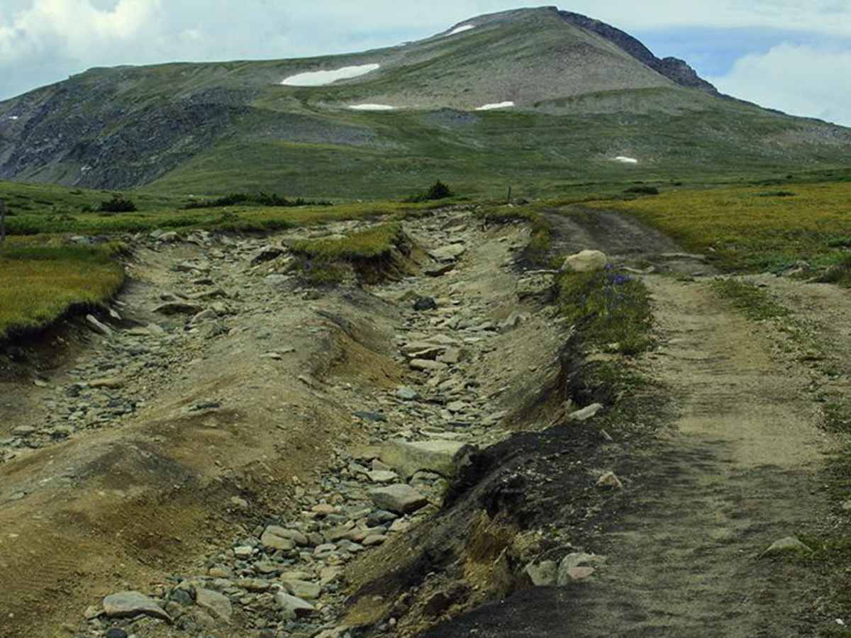
Fun trail! A few soft spots from the recent weather, but nothing too crazy. We started from the north end, and the last climb before the peak was pretty rutted, but other than that, it was a blast. Definitely recommend it!
Mickey G
Sep 24, 2026
Open
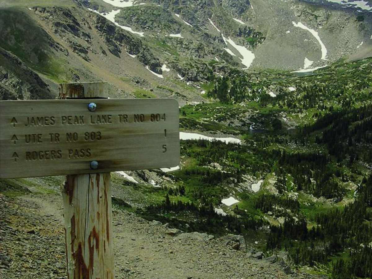
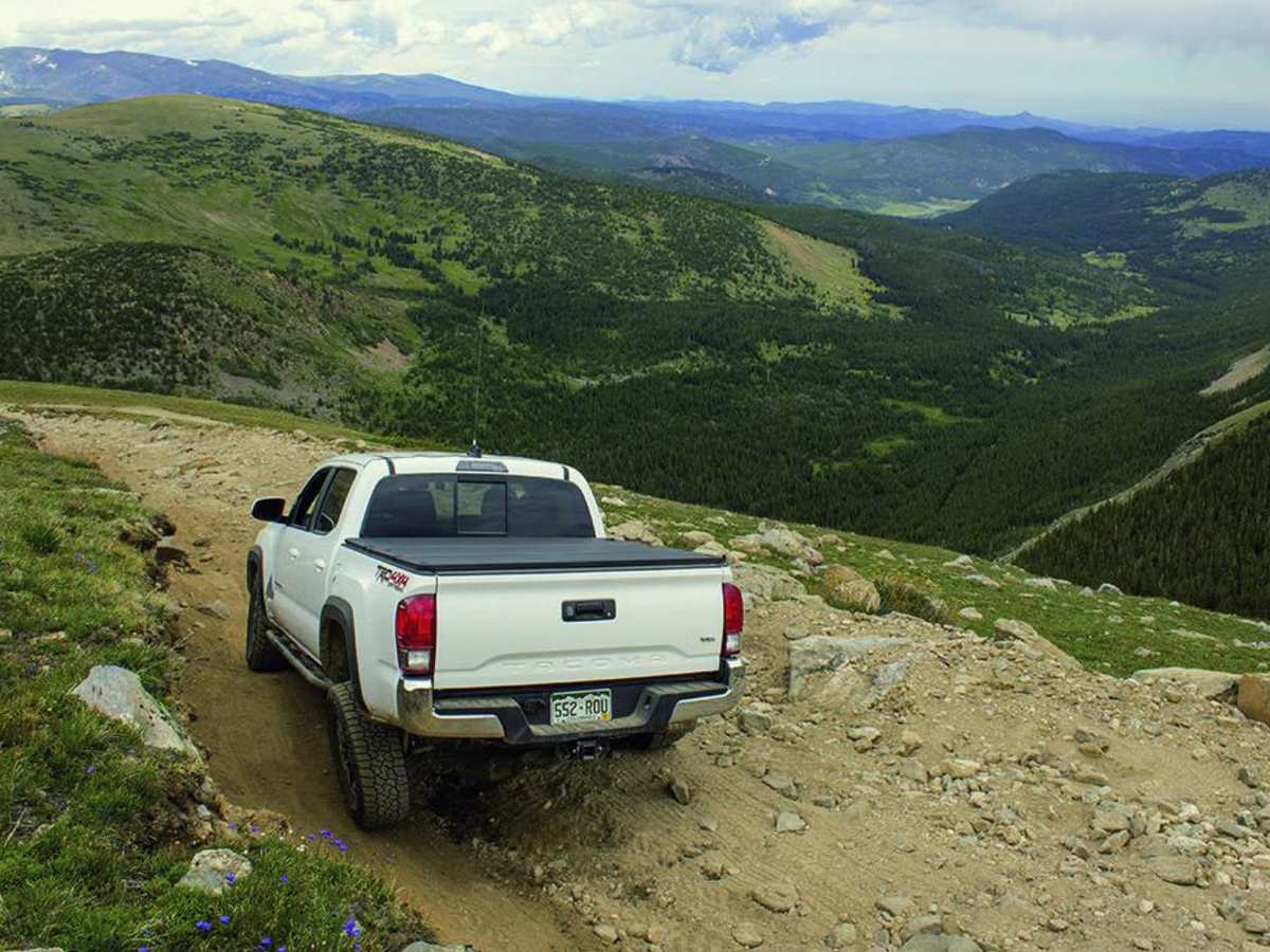
I took this from the north end to the James Peak Lake Trailhead and back. This section felt more like a 4/10, though it did have a couple interesting off-camber spots of up to 25 degrees. Then again, I’m maybe not the best judge due to most of my off pavement driving being in vehicles no more capable than an AWD CR-V, which has no business on a trail like this. No problems in my Tacoma.
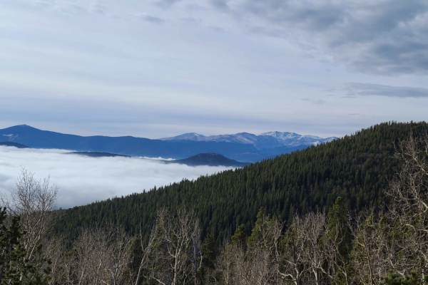
Great views while driving and even better on James Peak Lake Trail.
Andrew Peterson
Sep 12, 2026
Open
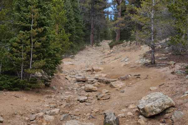
Started over by the st Mary’s trail head and did the whole trail to Apex. Lots of loose rock but definitely doable. The back half is very technical but we did end up seeing a Subaru outback and crosstrek up there. They struggled but made it to the top.
Mark Ricker
Sep 03, 2026
Open
Normal
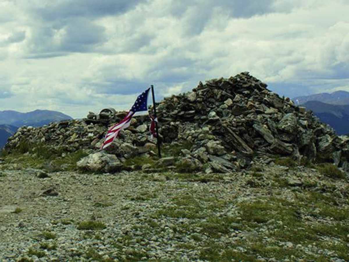
Started on the Tolland side over to St Mary's. Trail was amazing, awesome views, couple loose rock inclines to peak but was in good condition, few clear water puddles along the way, deepest only 12". Great stopping spot before climb to peak, and then stop at the rock pile at the top, beautiful lake and waterfall view from the peak.
Nick
Aug 25, 2026
2026 Jeep Wrangler Unlimited Rubicon
Open
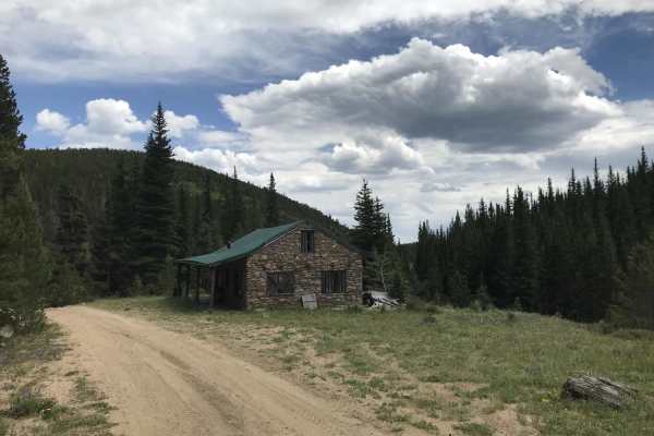
Boy was this a wild ride for someone who had never been off road before. Was by myself in a rental and for some reason I misread the rating and thought it was a beginner trail. Stupid. Did air down tires beforehand and took everything incredibly slowly. Starting in Alice/St. Mary’s, first 1.5 miles to Hilltop Lookout and then to Rock House wasn’t bad. Loose rock and a few steep/banked switchbacks that were good spots to try out some of the techniques/approaches I’ve been learning about. From Rock House on to James Peak was awful (for me) - multiple steep inclines that were washed out and had large rocks you to dodge. Decline to James Peak was particularly stressful. About a mile east of there, there are some some wonky banked portions near the abandoned house that took some thought to get through. From there to Tolland was breeze. Overall a beautiful and fun route for someone who knows what they’re doing. Can’t imagine taking anything other than a high clearance 4x4.
Gavin Morin
Aug 23, 2026
Open
NormalDustyMuddy/Wet
It’s an amazing trail! We did it in two 4Runners and a Subaru, and it made it up no problem! The views are amazing and it’s worth the trip if you have the right vehicle! The ground is soft so some rocky areas aren’t as stable.
Mike S
Aug 21, 2026
2024 Ford Bronco
Open
NormalDusty
Trail was rocky but in overall great condition. A high clearance 4x4 is recommended for the trail to clear some parts of it.
Matthew Schmidt
Aug 15, 2026
2007 Toyota FJ Crusier
Open
NormalMuddy/WetRough/Deteriorated
Trail is very rocky, recommend high clearance and low range. Took my stock FJ Cruiser and hit the skid plate a couple times. If you take it slow it’s doable.
ADAM RUSH
Aug 01, 2026
2023 Ford Bronco
Open
Normal
Zach M
Jul 25, 2026
Open
Normal
Started in Tolland up apex road to get onto Kingston peak trail from the north side. I would recommend this way to everyone. It must be more accessible from I70, since what little traffic there was on the trail was oncoming, however we spent more time going up than down, and it’s nice to get the pay off on the views near the end rather than the beginning. I was in a Tacoma and my buddy was in a ranger raptor, both stock. Careful tire placement was key but still glad we had skid plates.
Kevin Parker
Jul 18, 2026
Open
NormalDusty
Rough road with sharp rocks. Recommend airing down but stock 4x4 with ATs will have zero issue
Reed Halcomb
Jul 18, 2026
2021 Ford Bronco
Open
Dusty
Very dry on the lower sections but a nice ride up top. A semi washed out section that could lift tires without good enough articulation on the south side, and some big boulders on the north side that could cause damage without underbody protection/not enough clearance. But overall not too difficult.
Evan s
Jul 14, 2026
2026 Honda CRF300F
Open
Patrick Kelly
Jun 24, 2026
Temporarily Closed
Closed Gate
KaDa
Jun 06, 2026
Temporarily Closed
Seasonal ClosureClosed Gate
Definitely closed! Signs are up, gate is closed.