Trail Overview
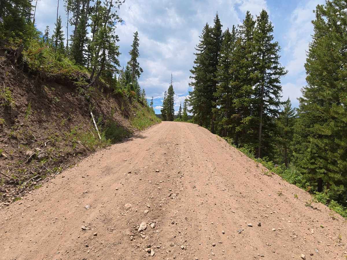
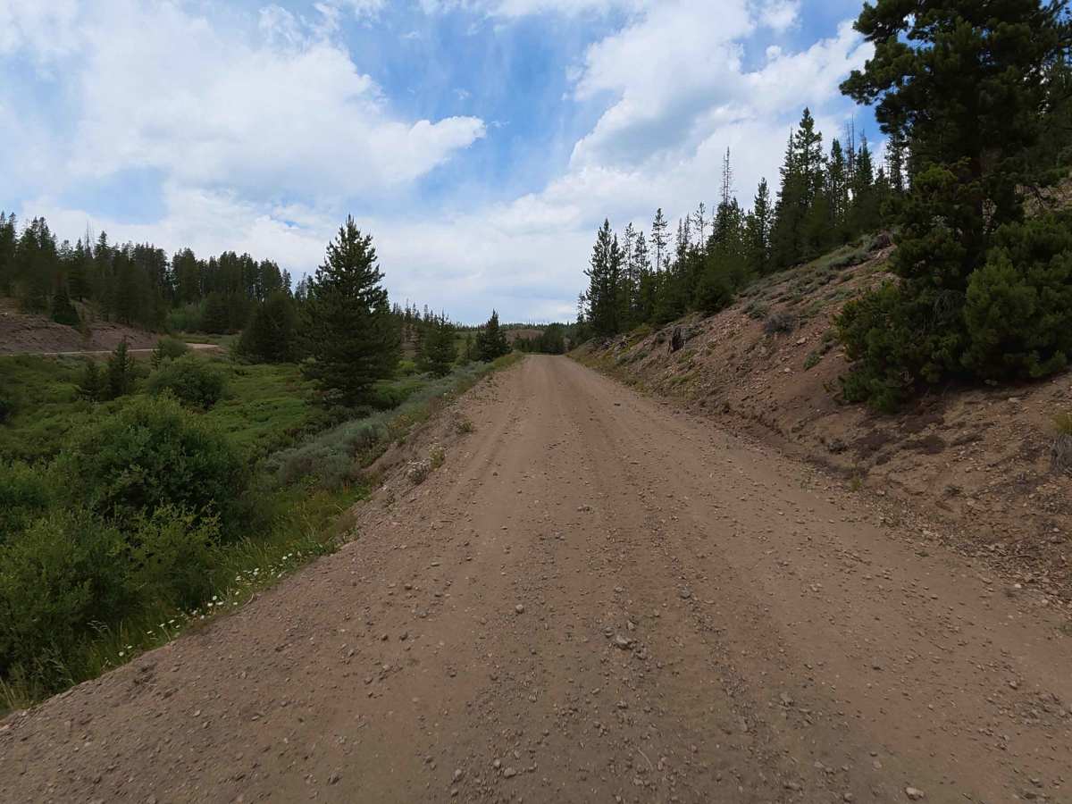
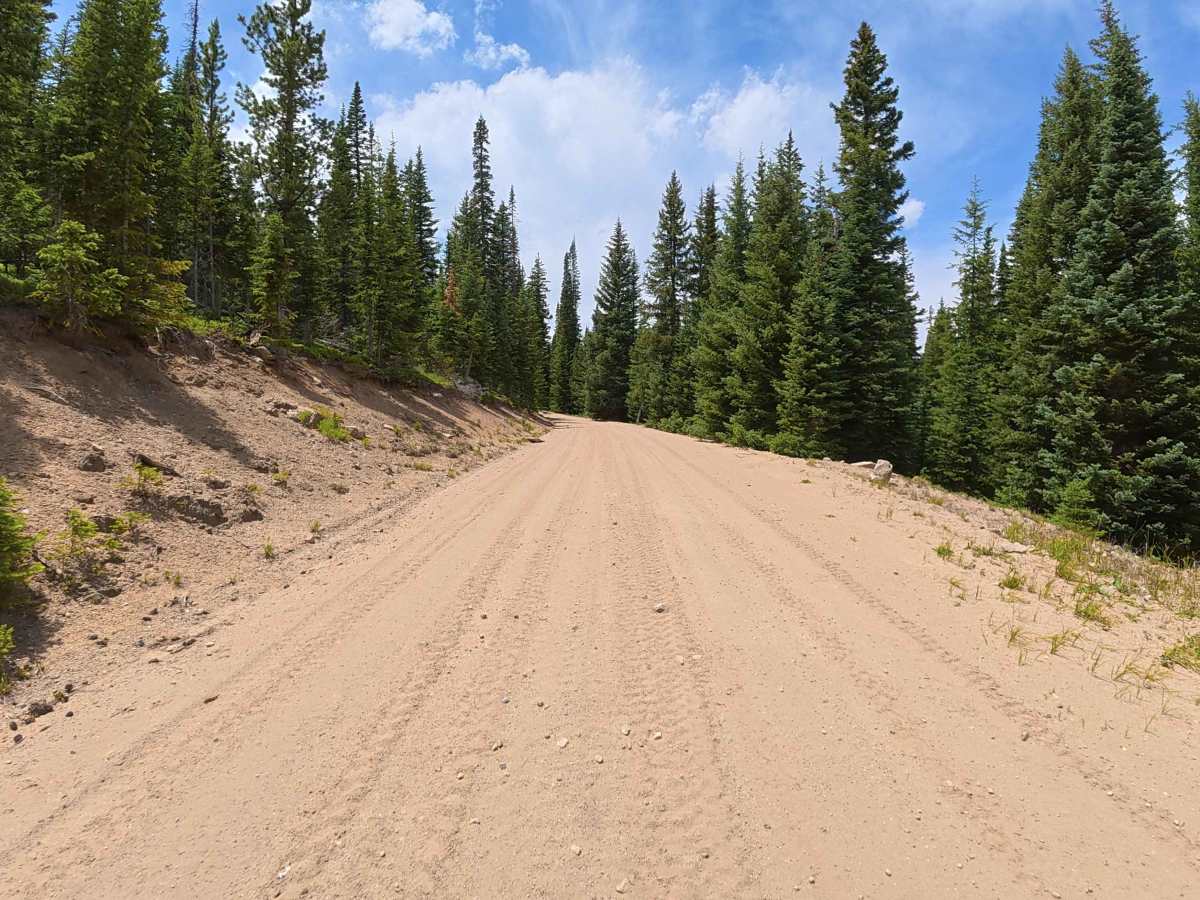
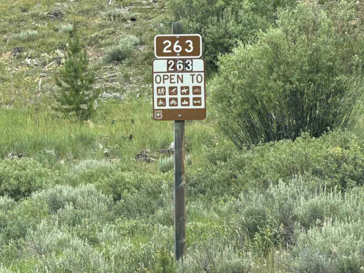
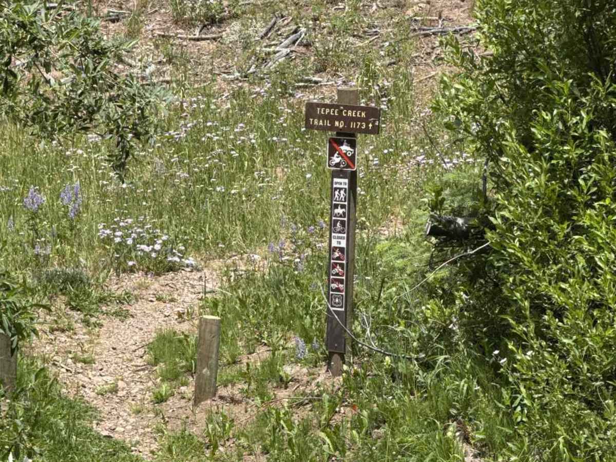
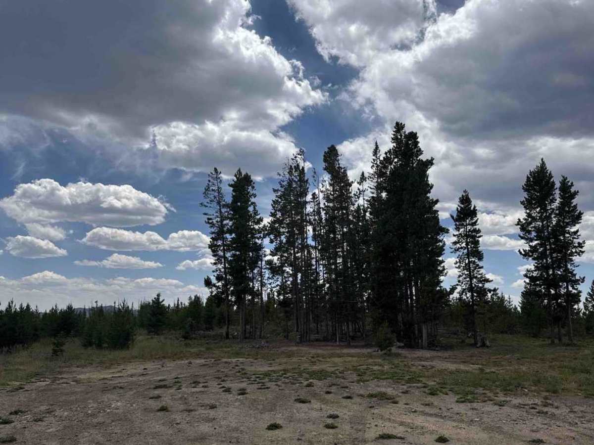
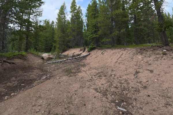
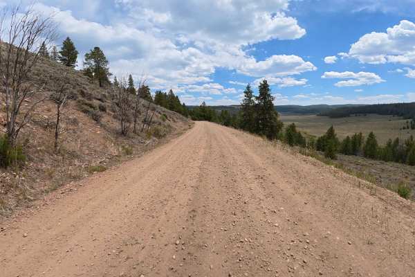
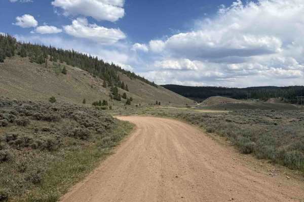
Set out on a breathtaking high-altitude adventure along High Rock Creek Road, a remarkably scenic 7.2-mile mountain trail that conveniently branches directly off Lynx Pass. From the very beginning of your journey, this multi-use pathway rewards travelers with jaw-dropping, panoramic vistas of the sprawling valley below, flanked by rugged, towering mountains, remarkably dense, emerald-green forests, and a shimmering, pristine alpine lake. The trail surface presents a relatively smooth, 50/50 mixture of packed dirt and small, loose pebbles. As you venture deeper, you will encounter numerous sharp, winding switchbacks and sections of continuously uneven terrain. For this reason, towing heavy campers or maneuvering large trailers is strictly not recommended. Along this idyllic, forested corridor, outdoor enthusiasts will discover a multitude of fantastic dispersed camping areas perfectly suited for an immersive overnight wilderness stay. At approximately the 4.9-mile mark, drivers will confront a massive downed tree partially obstructing the route; however, this hazard can be easily and safely bypassed by carefully hugging the far right side of the trail. Farther along, this highly engaging route seamlessly connects with a dedicated mountain bike path, unlocking even more thrilling recreational opportunities. Ultimately, this vibrant, versatile trail delivers an unforgettable, visually stunning off-road experience for a wide variety of users.
Difficulty
This highly scenic and captivating mountain trail earns a solid, level 3 difficulty rating. While the trail's primary surface is composed of a relatively forgiving blend of packed dirt and small, loose pebbles, drivers must consistently navigate a series of sharp, restrictive switchbacks and noticeably uneven, undulating terrain. Because of these tight corners and abrupt shifts in elevation, navigating with heavy campers or oversized trailers is strongly discouraged, as the winding path simply does not provide adequate turning radius or stability for towing. A notable hazard exists near the 4.9-mile mark, where a large fallen tree requires a precise, right-leaning bypass maneuver to safely continue along the route.