Trail Overview
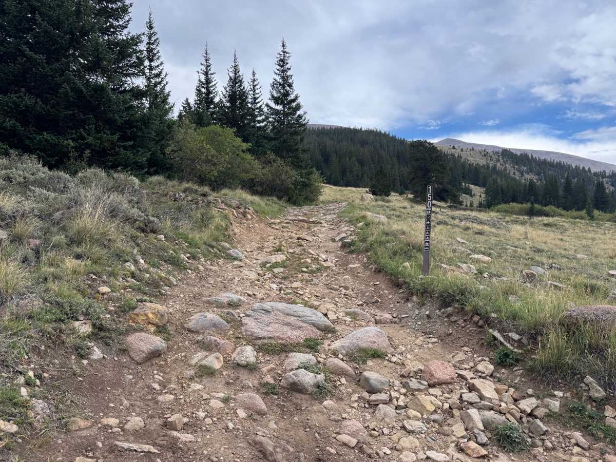
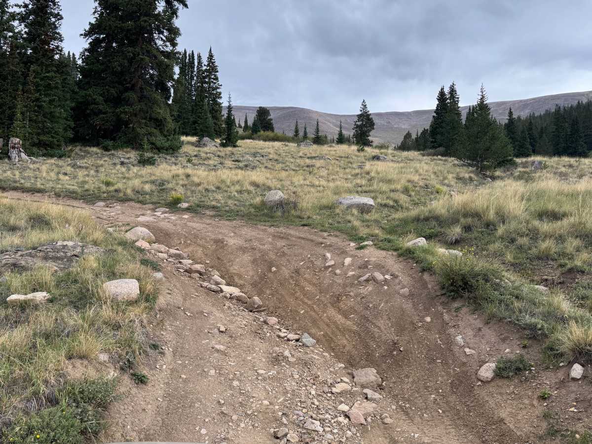
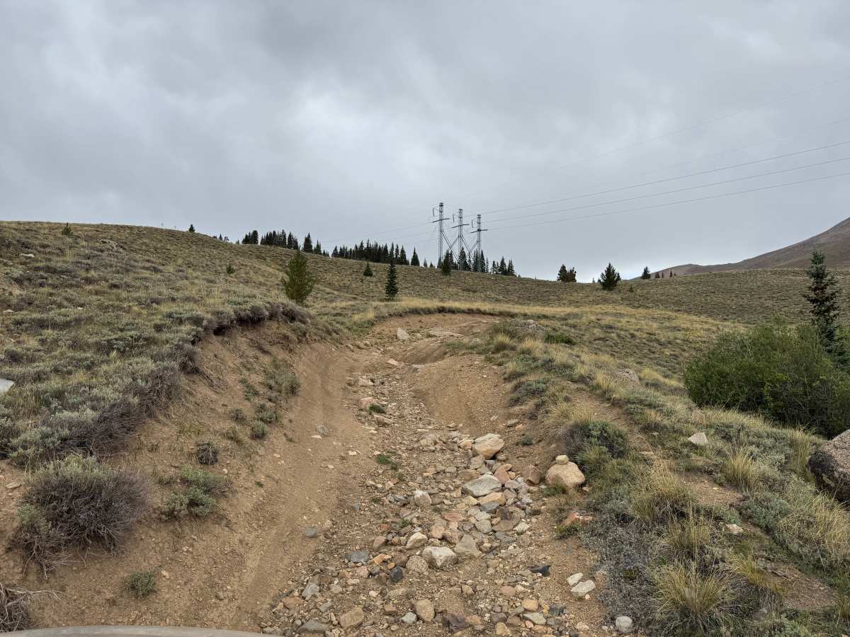
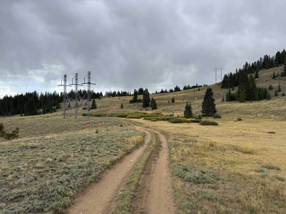
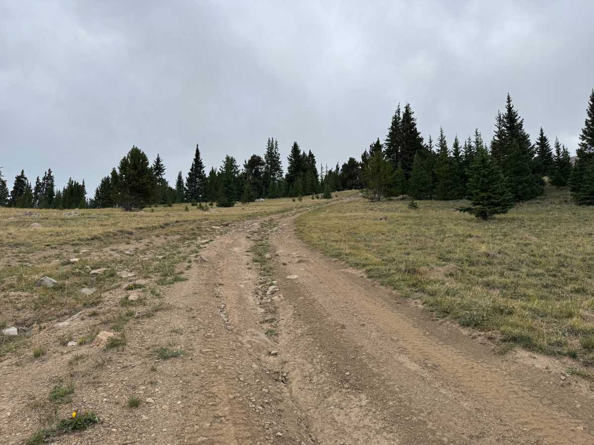
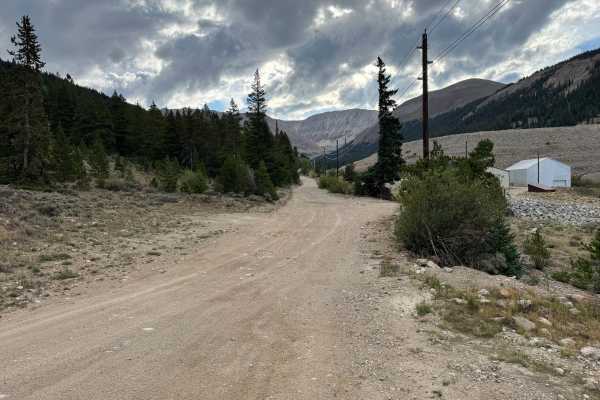
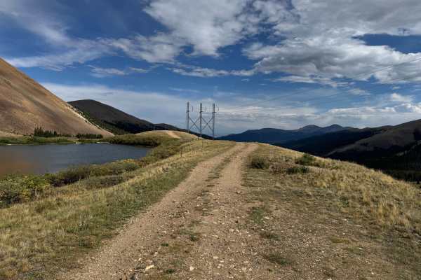
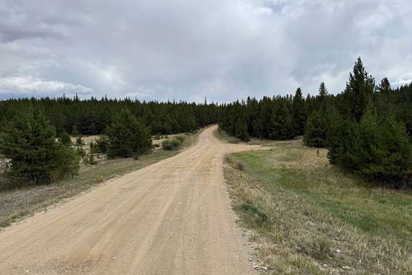
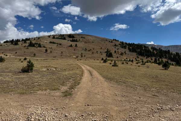
This out-and-back route travels through a high-elevation landscape of open grassy meadows, low brush, scattered evergreens, and thicker stands of pine and spruce. The trail varies between relatively smooth packed dirt and rougher stretches covered with loose and embedded rock, with several eroded sections, dips, and whoops along the way. Much of the route is only one vehicle wide, although there are occasional wider areas where vehicles may be able to pass. Two old cabin structures can also be seen along the route, adding a glimpse into the area's past. Portions of the trail travel beneath and alongside a large powerline corridor before continuing through the surrounding forest and open mountain terrain.
Difficulty
The trail consists of packed dirt mixed with loose and embedded rocks, with several eroded sections, deeper dips, whoops, and uneven terrain. Some rocky sections require careful tire placement, while the narrow trail and limited passing areas add to the challenge. A high-clearance 4x4 with low range is recommended.
History
Leadville's surrounding mountains are heavily connected to Colorado's mining history. Mining booms beginning in the 1860s transformed the area, with gold, silver, lead, zinc, molybdenum, and other minerals driving development over different periods. Many roads and routes throughout the mountains originated as access to mines, claims, settlements, and other industrial sites. Remnants of this history can still be found throughout the area, including mine workings, foundations, structures, and old transportation corridors. Leadville itself is recognized as a National Historic Landmark District.