Trail Overview
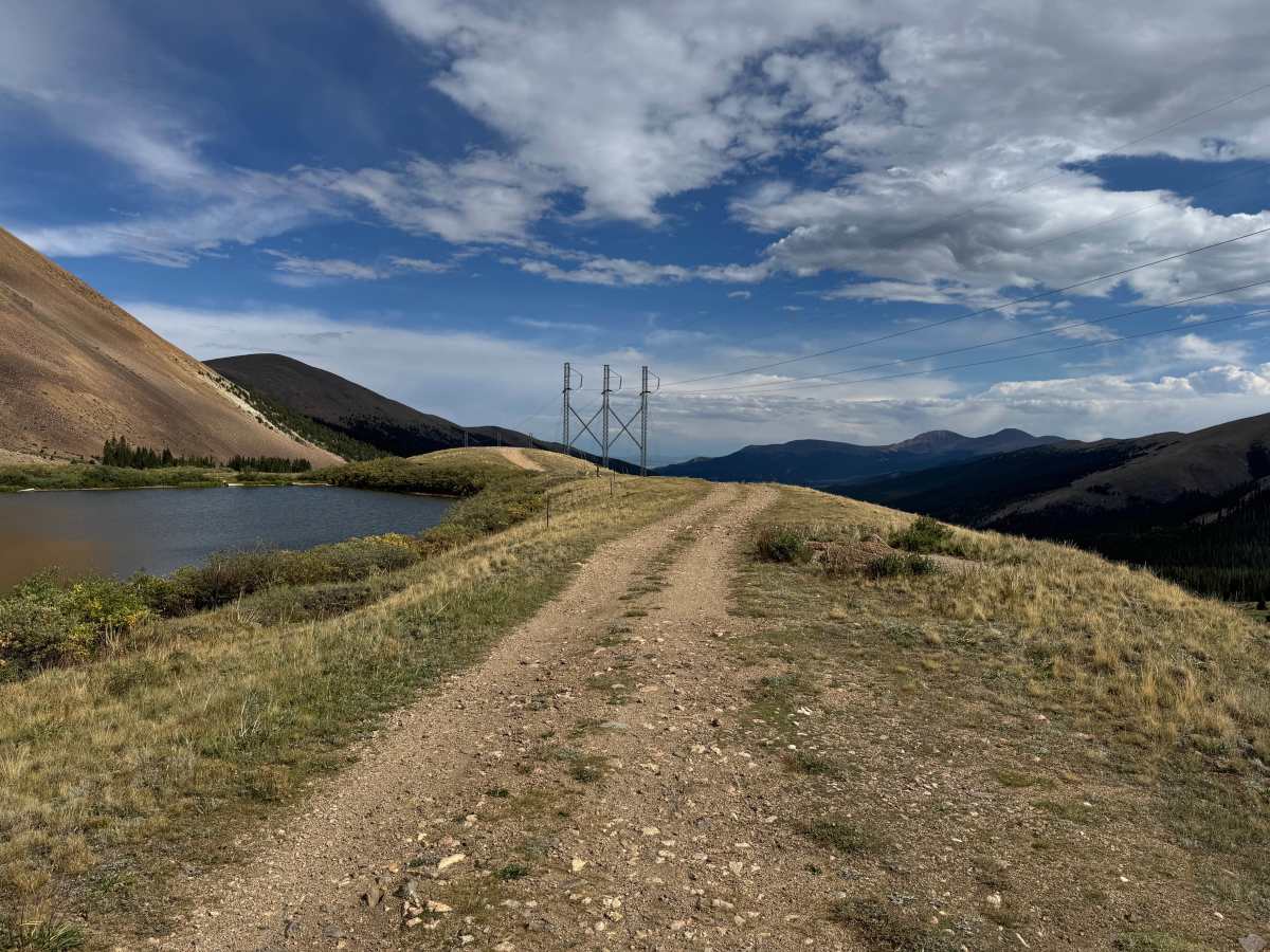
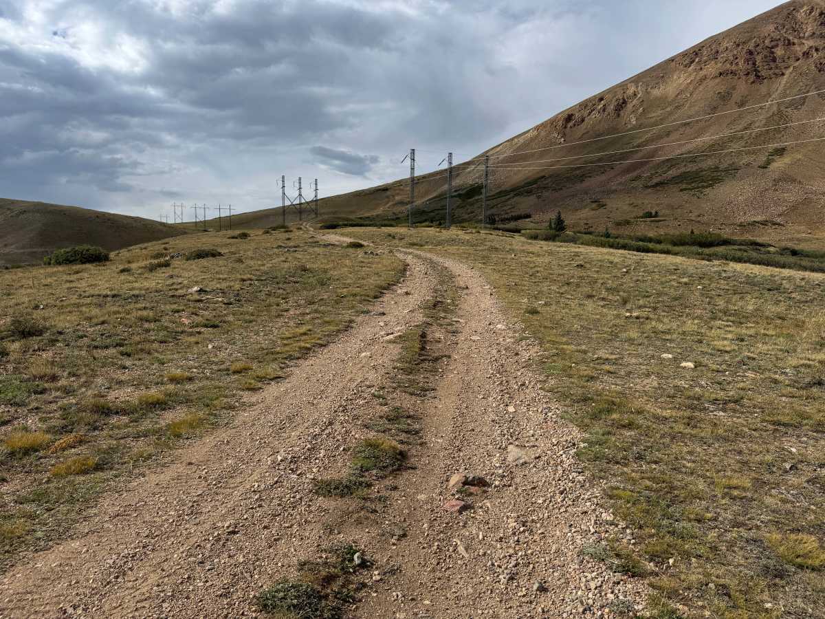
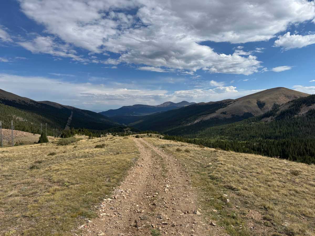
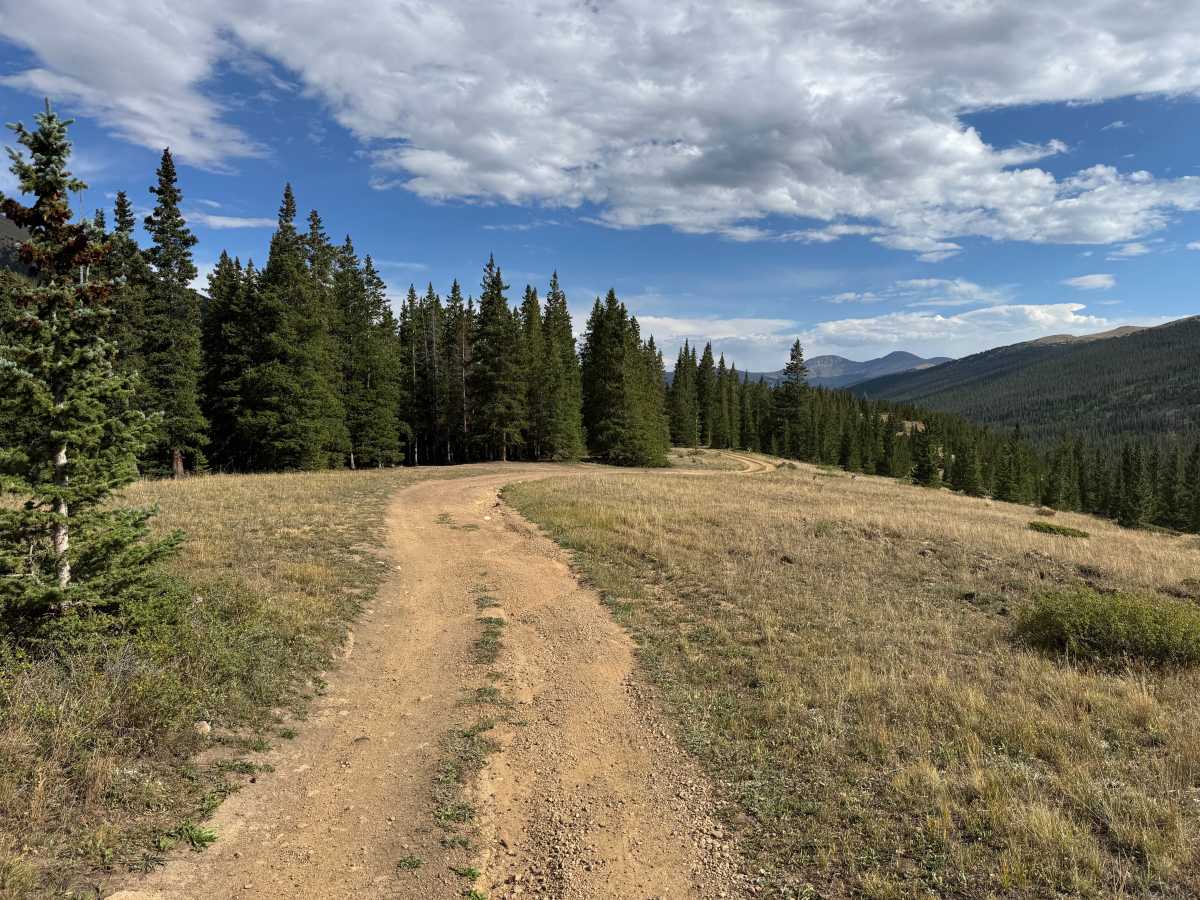
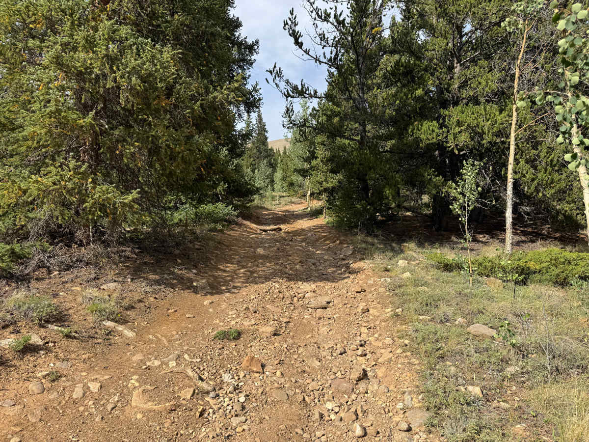
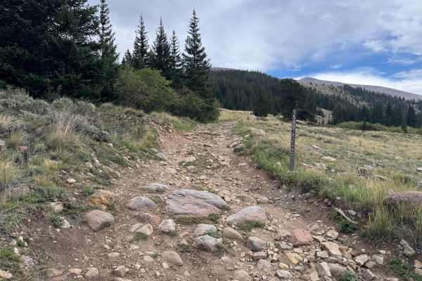
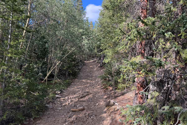
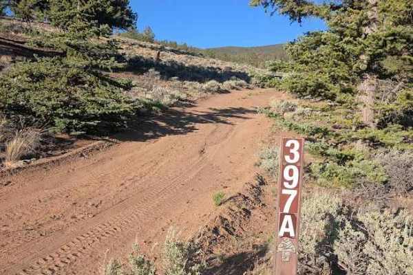
This route travels through a wide variety of terrain, transitioning between open high-elevation meadows and more densely forested sections. The surface ranges from relatively smooth dirt and gravel two-track to rougher, rock-covered stretches with exposed and loose rocks scattered across the trail. Several rocky hill climbs contain rocks reaching approximately 10 inches in height, while other portions follow rolling terrain with tighter corners. Open sections provide expansive views across the surrounding mountains, valleys, and forested slopes, with sections of the route following a powerline corridor. As the trail enters the forest, pine and aspen trees grow much closer to the roadway, creating a noticeably tighter corridor where branches may contact wider vehicles.
Difficulty
The trail varies from relatively smooth dirt and gravel to rocky hill climbs with loose and embedded rocks reaching approximately 10 inches. Tight corners, uneven rocky sections, and occasional erosion require careful tire placement, while narrow forested sections may also cause pinstriping. A high-clearance 4x4 is recommended.
History
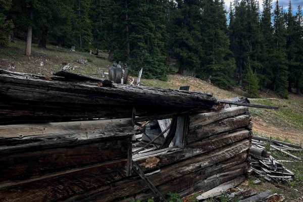
Leadville's surrounding mountains are heavily connected to Colorado's mining history. Mining booms beginning in the 1860s transformed the area, with gold, silver, lead, zinc, molybdenum, and other minerals driving development over different periods. Many roads and routes throughout the mountains originated as access to mines, claims, settlements, and other industrial sites. Remnants of this history can still be found throughout the area, including mine workings, foundations, structures, and old transportation corridors. Leadville itself is recognized as a National Historic Landmark District.