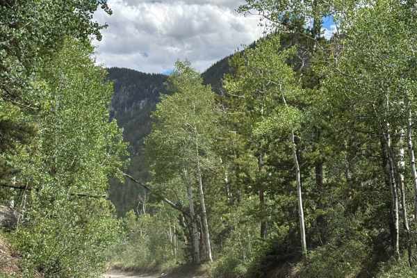
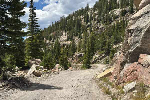
Trail Overview
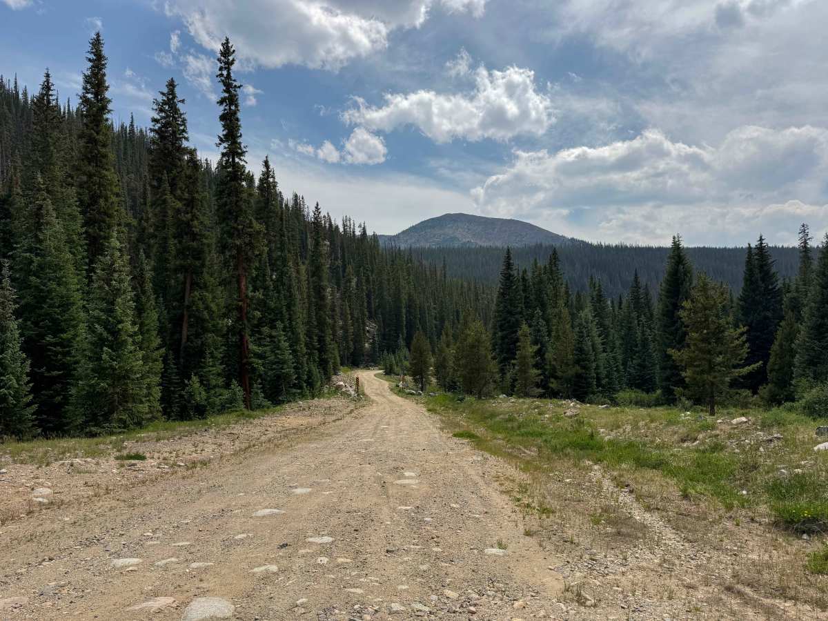
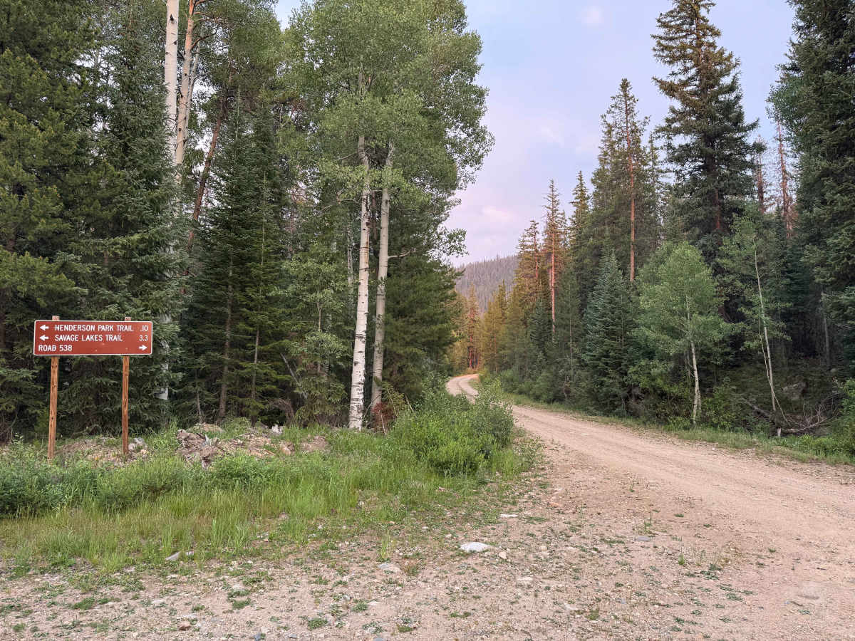
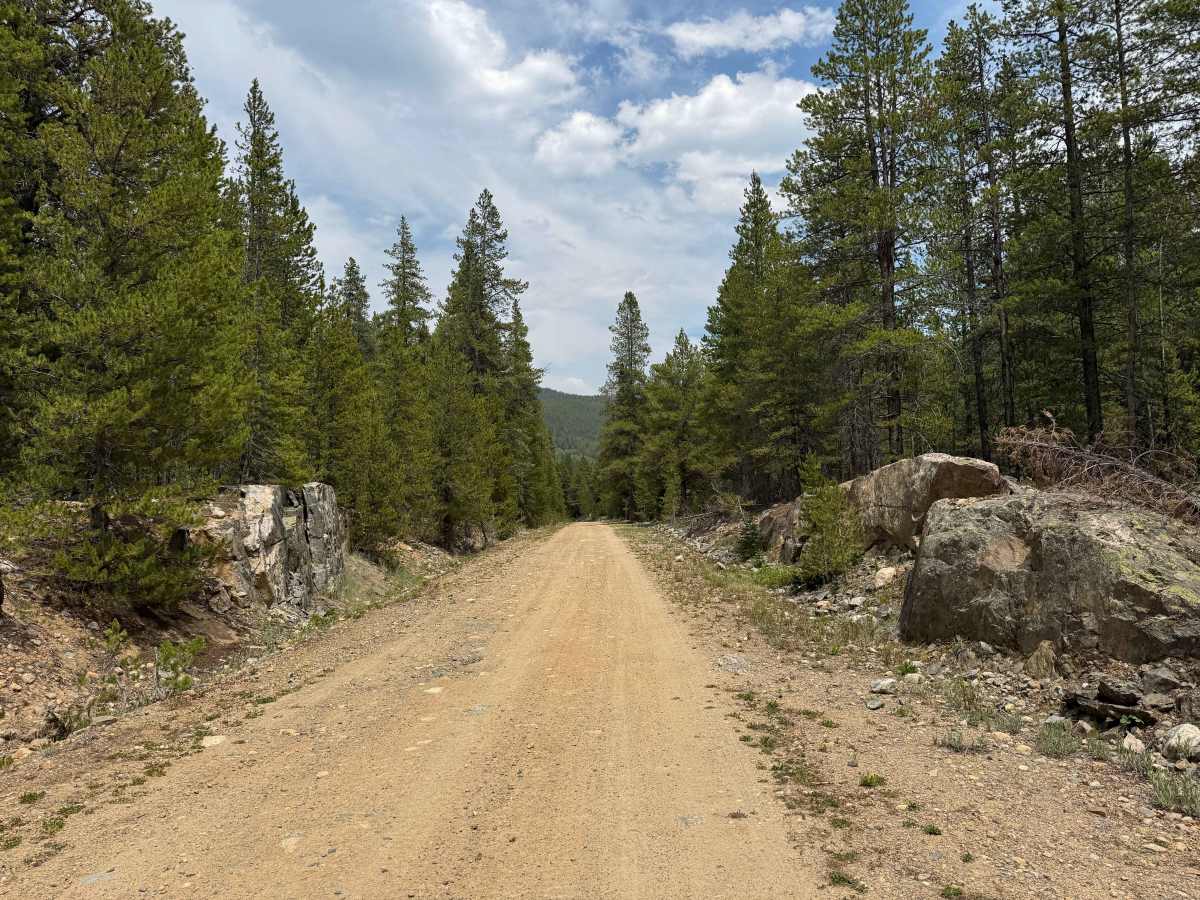
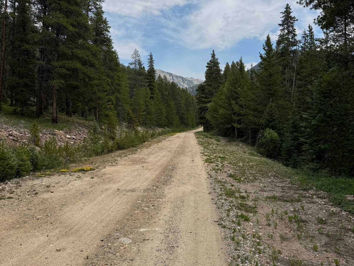
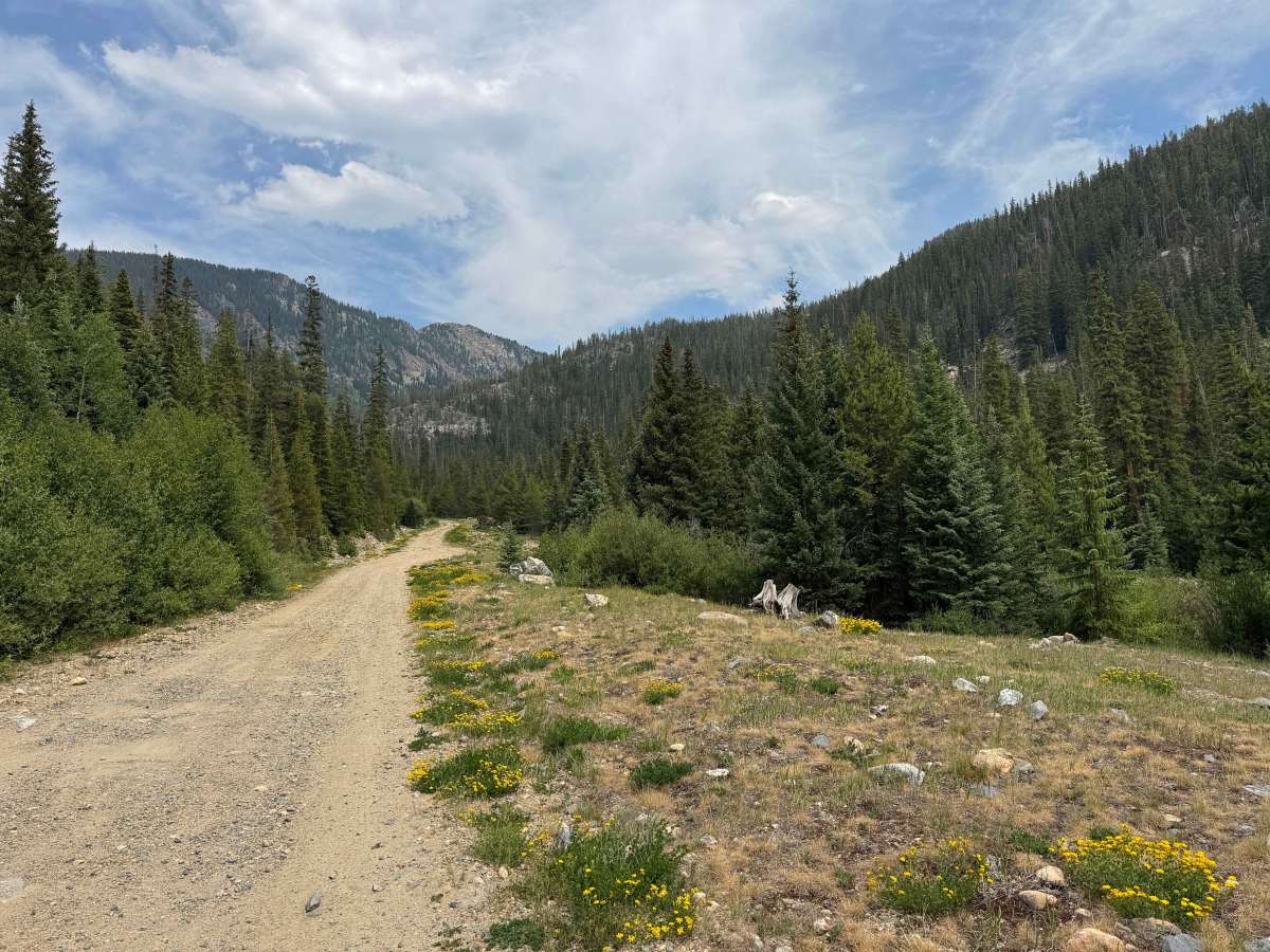
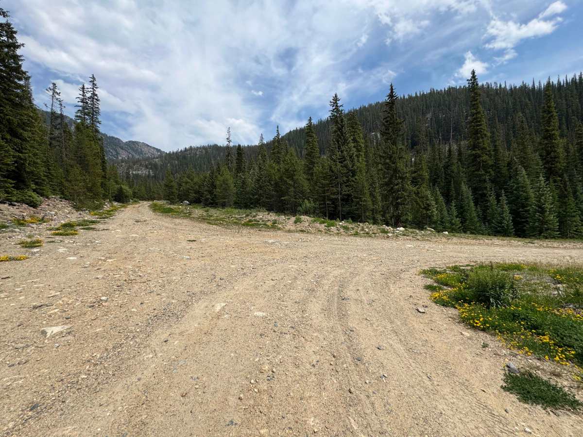
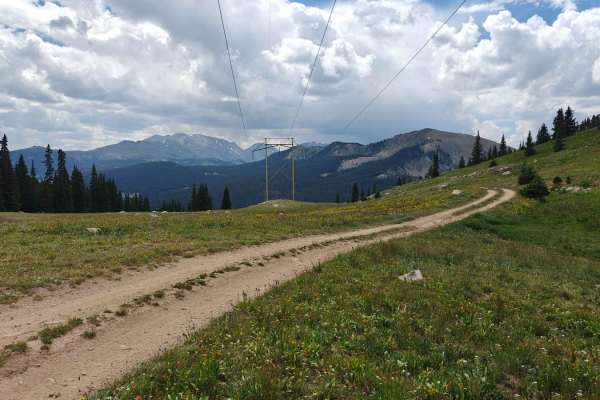
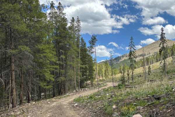
This route branches off from USFS 4A and begins with one to two miles of well-maintained road that passes four to five excellent dispersed campsites located near a scenic creek. Beyond the camping area, the road becomes somewhat rougher, with a few rocky and steeper sections, though it remains relatively easy and presents no significant obstacles. At one point, the main route turns to the right while a short spur continues to the left, leading to an excellent campsite. This spur is very steep and definitely requires 4WD despite its short length. Continuing on the main route, the road gradually becomes steeper and less maintained, climbing through several switchbacks before eventually ending at the Powerline Road.
Difficulty
This is a relatively easy route in dry conditions, and as long as you remain on the main trail, any vehicle with reasonable ground clearance should be able to complete it without difficulty.