Trail Overview
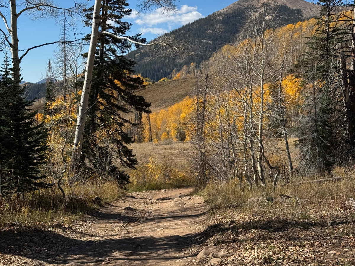
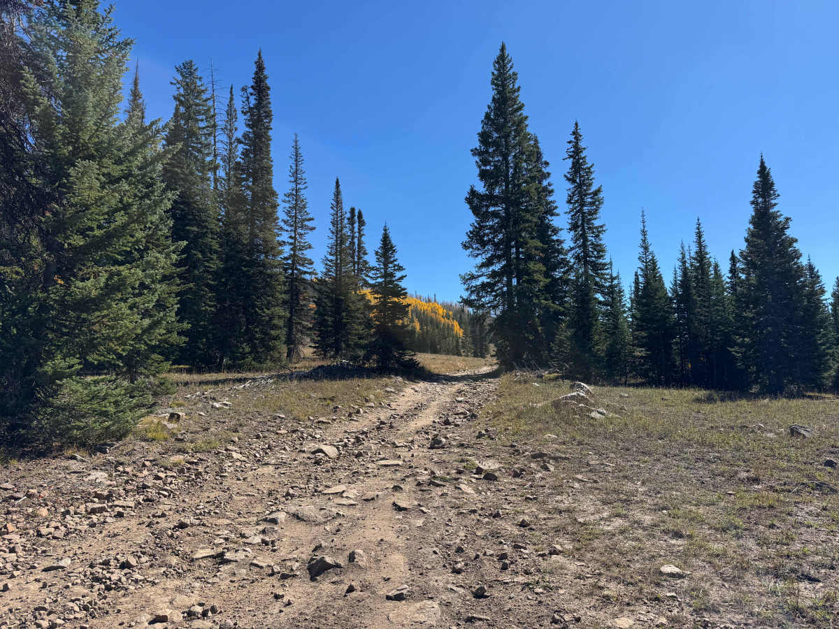
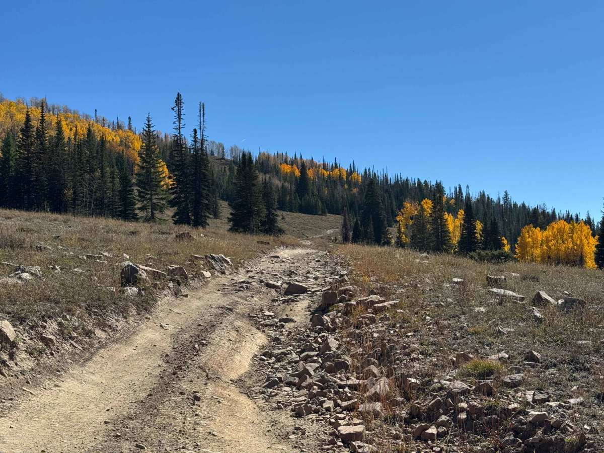
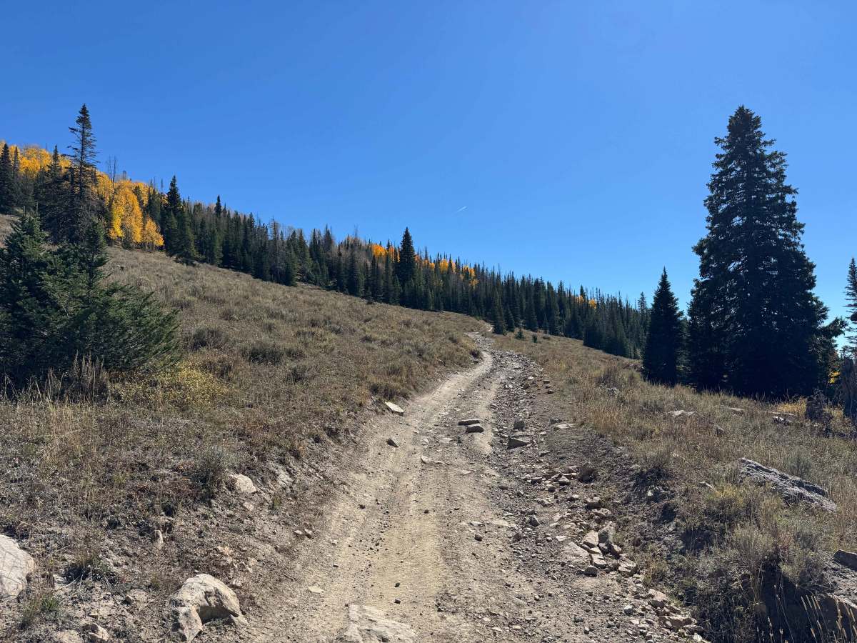
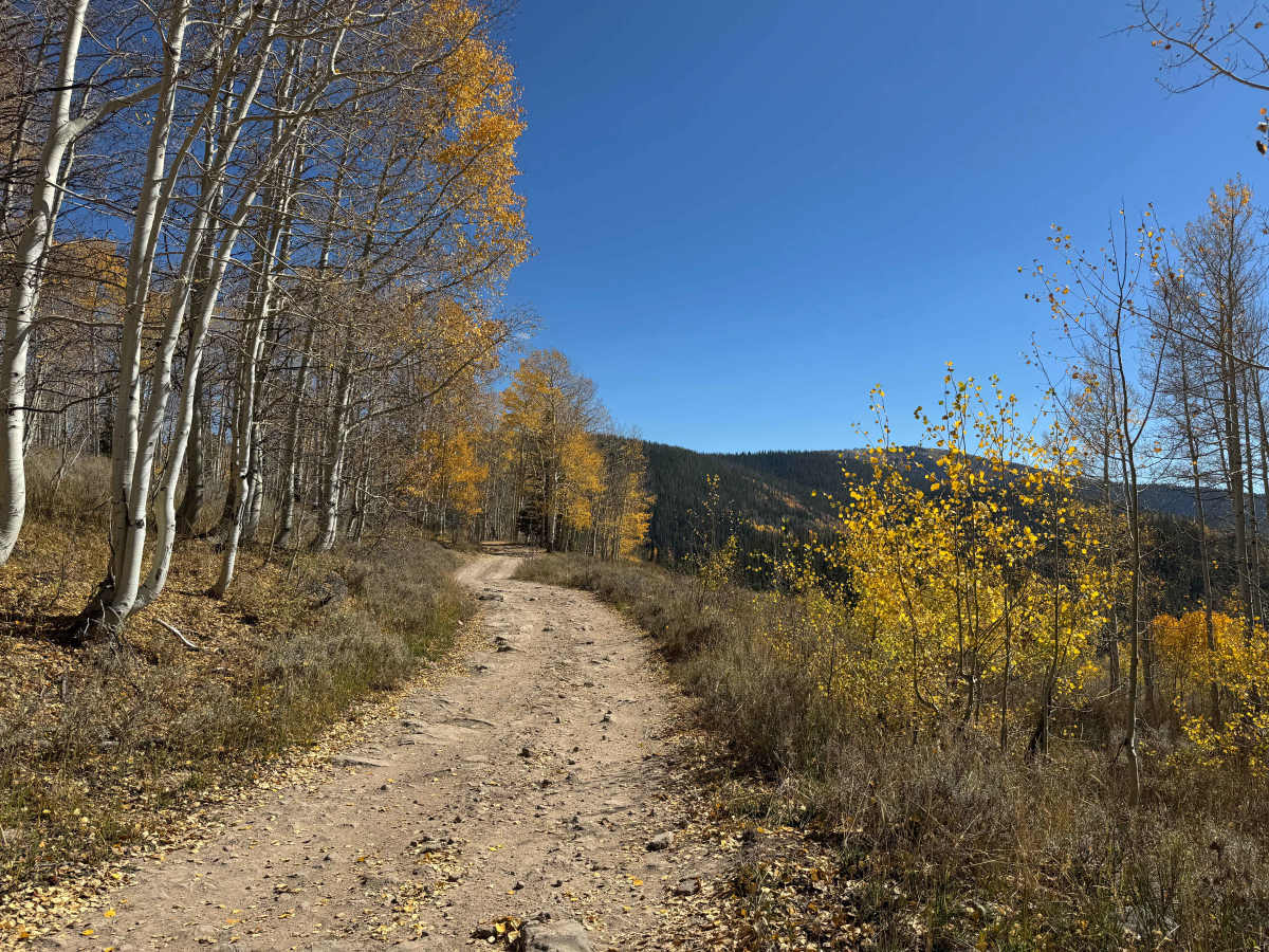
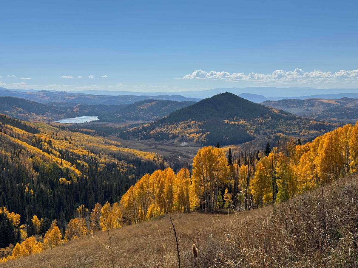
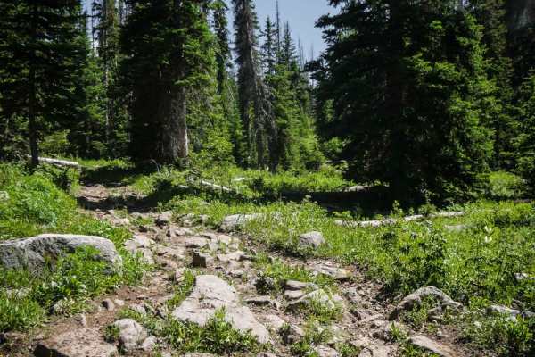
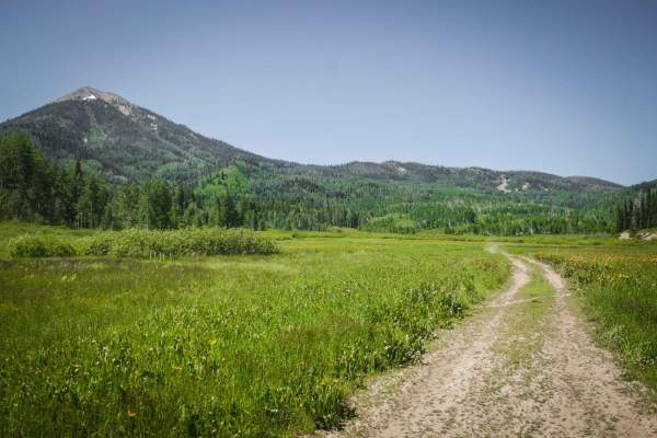
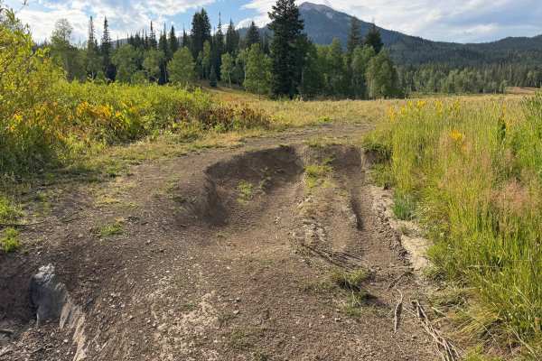
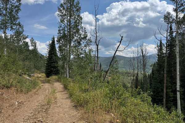
Beginning near FS 550 at the junction with FS 413, this route climbs toward Farwell Road while passing through some of the most scenic and varied terrain in the Hahns Peak area. Early in the route, expect a combination of deep ruts, embedded rocks, and steadily increasing elevation, making it advisable to air down your tires and engage 4WD from the start. As you climb higher, the trail becomes more technical, with several rocky sections where careful wheel placement and a spotter can be extremely helpful. Many of the embedded rocks are sharp, so carrying appropriate recovery equipment and a tire sidewall repair kit is strongly recommended. After crossing the first summit, the route continues around the backside of Hahns Peak, where expansive mountain views open up before the trail begins descending through several rocky chutes. The largest is approximately 200–300 meters long, featuring very loose rock and a steep descent. Once through this section, the trail enters a long, scenic meadow before gradually climbing again through a mixture of embedded and loose rock. The route eventually winds its way to Farwell Road, providing a challenging and highly scenic journey through the surrounding high-country terrain.
Difficulty
This trail requires a moderate level of driving skill, particularly through the rocky and rutted sections. Several portions contain embedded rocks exceeding 12 inches in height, combined with ruts that require careful wheel placement and good vehicle positioning. It is recommended to air down your tires and engage 4WD before entering the more technical sections. In dry conditions, the most significant challenge is the long, loose-rock chute when traveling downhill. From the top, the primary concern is maintaining a controlled speed and carefully selecting your line through approximately 200–300 yards of loose rock. Traveling the route in the opposite direction presents a substantially greater challenge, as climbing the loose-rock chute requires considerably more traction, throttle control, and momentum management. Overall, the trail is manageable for a capable 4WD vehicle, but conditions and direction of travel can significantly affect the difficulty.