Trail Overview
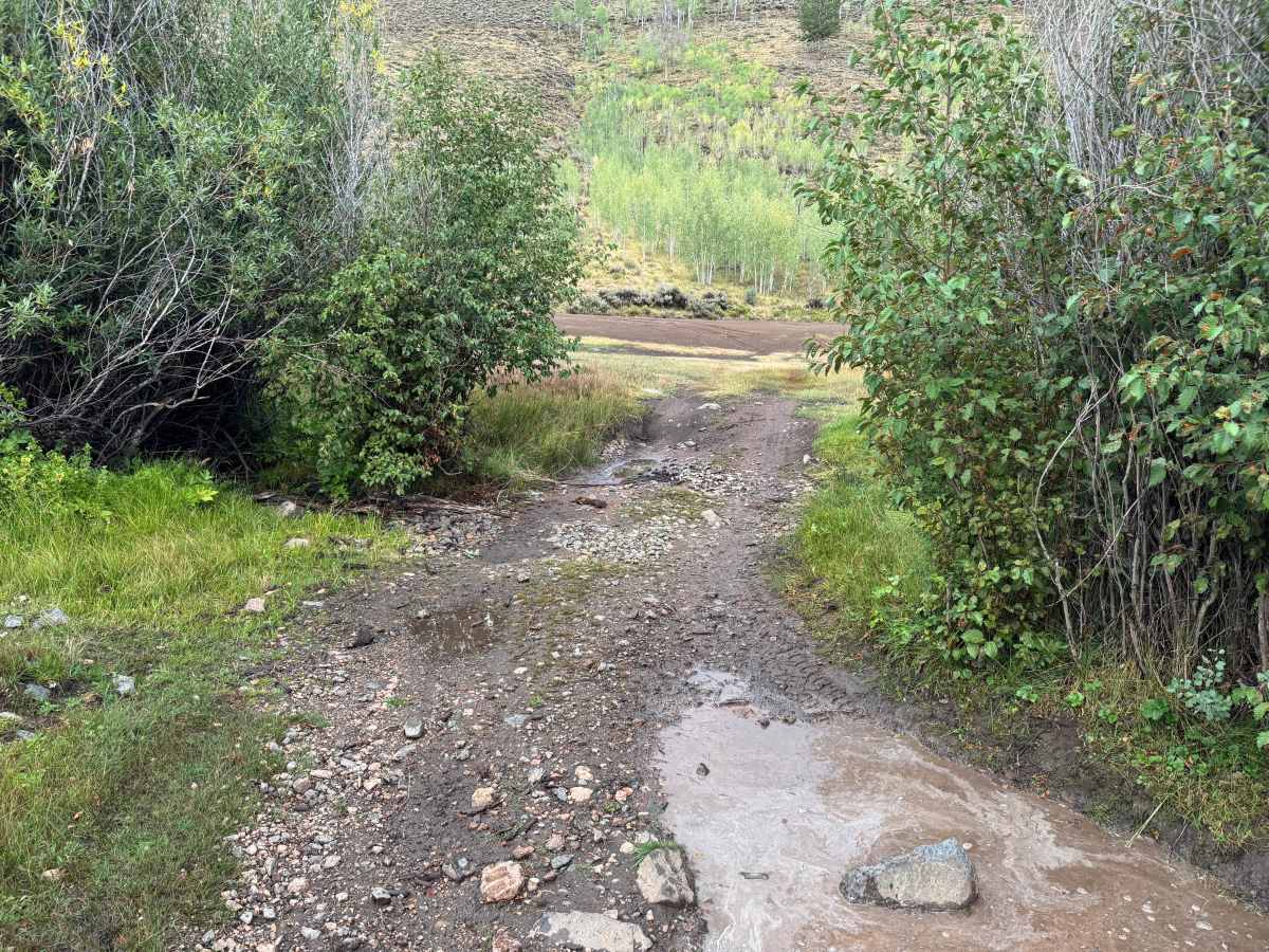
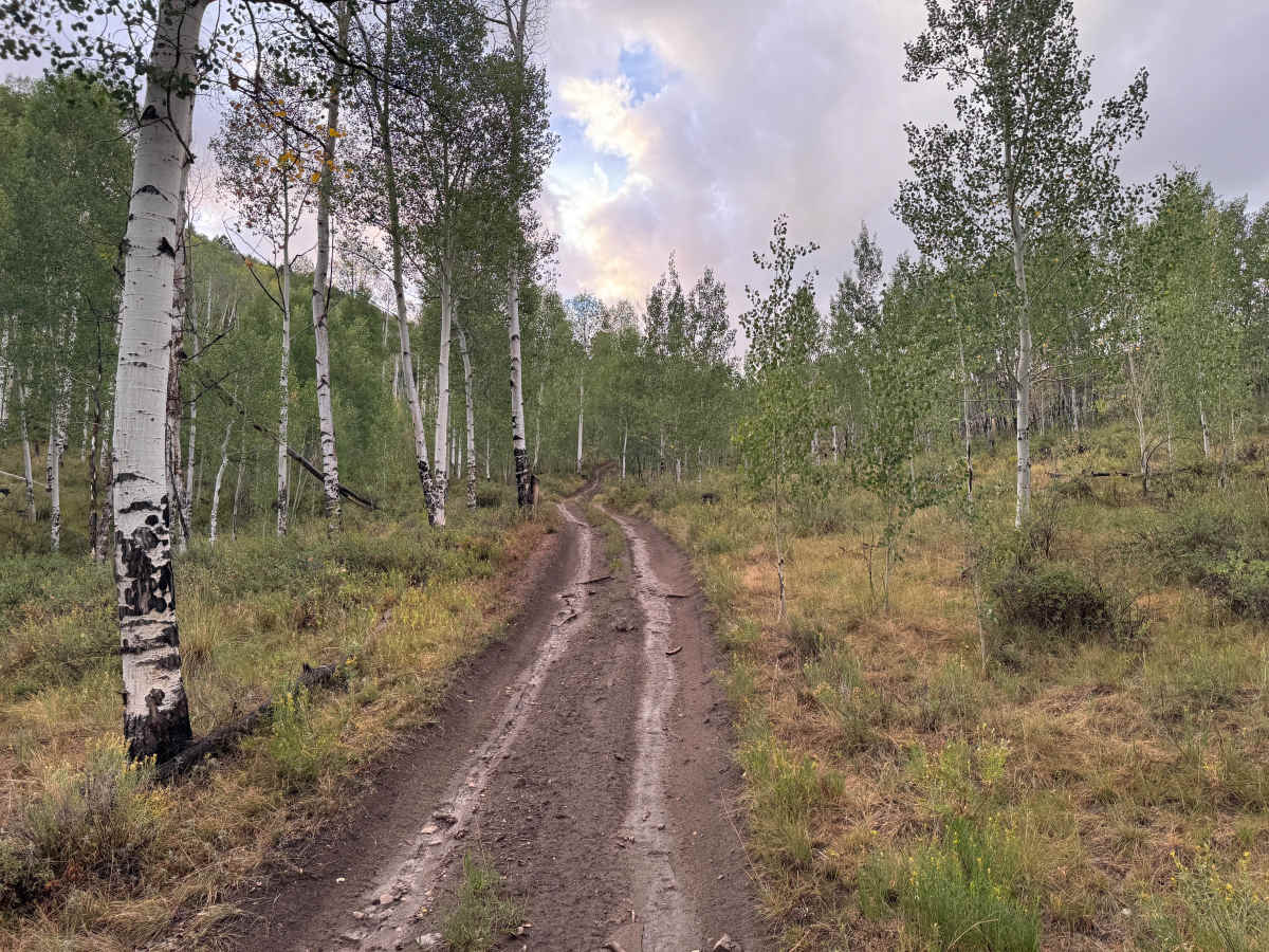
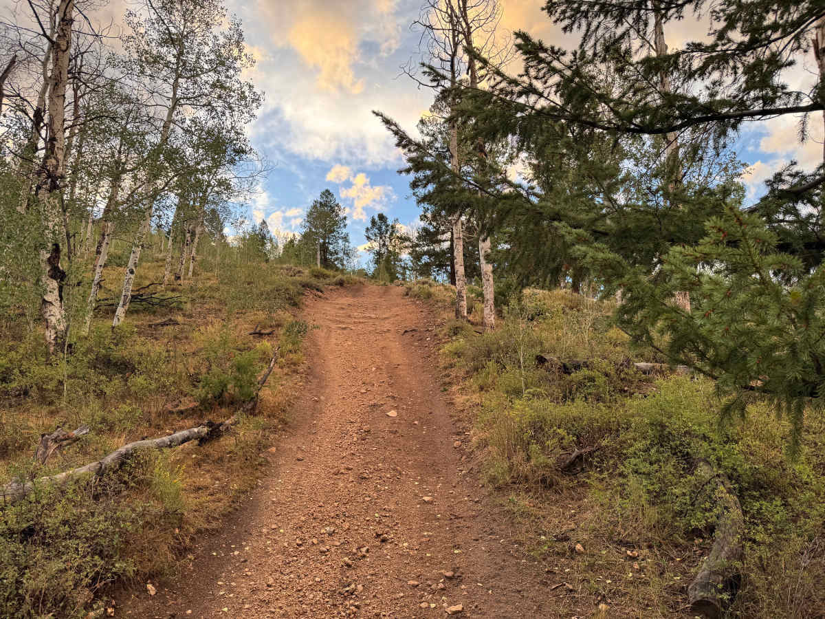
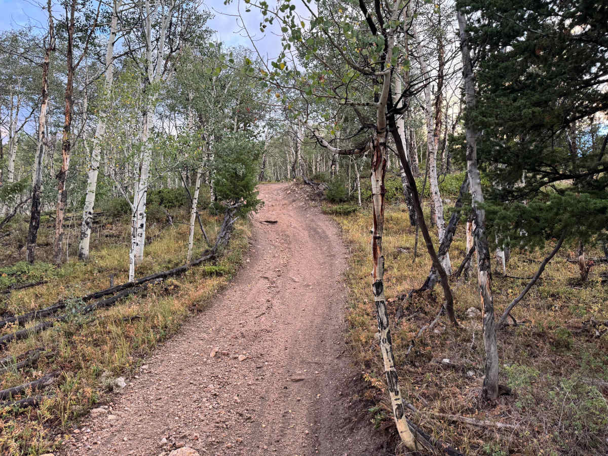
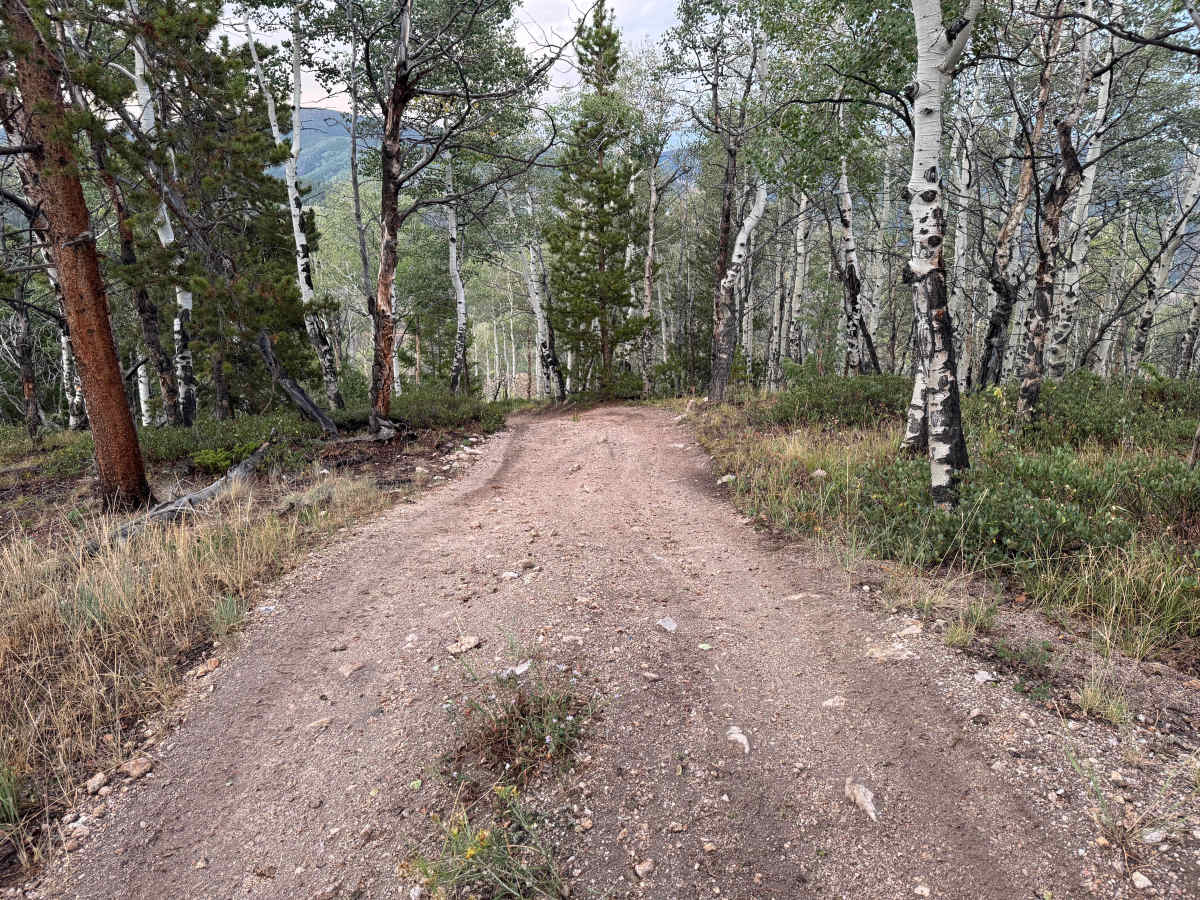
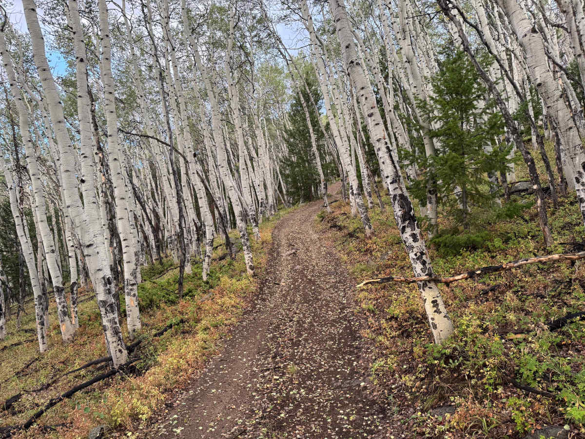
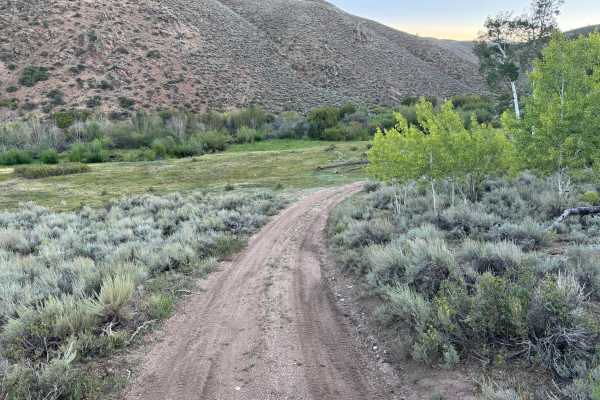
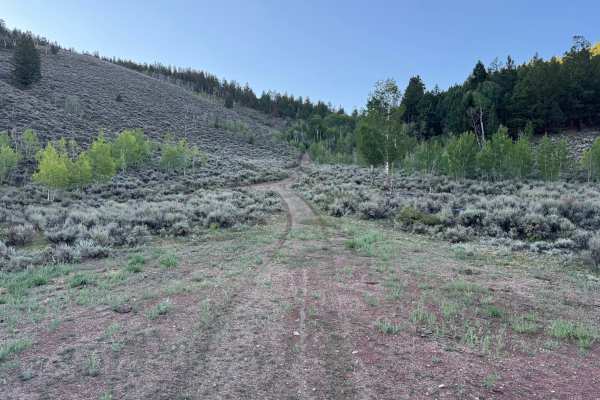
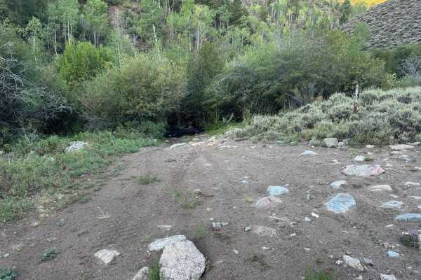
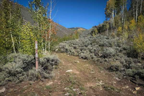
This route is primarily a narrow, one-vehicle-wide trail with very few areas available for vehicles to pass. The route travels through dense stands of aspen mixed with pine, with sections where the trees closely border the trail and create a tunnel-like setting through the forest. Other portions open slightly, providing views across the surrounding mountains and Gunnison National Forest. The surface varies between packed dirt, loose gravel, scattered rocks, and areas of mud where water collects or drains across the trail. Several steep grades are encountered along the route as it climbs and descends through the forest. Toward the final portion, protruding and loose rocks become more common, creating a rougher surface. The narrow trail, tight turns, and surrounding trees can also make maneuvering more challenging for larger or longer-wheelbase vehicles.
Difficulty
This route is narrow and includes several steep grades with a combination of packed dirt, loose gravel, mud, and scattered rocks. The final portion becomes rougher, with more protruding rocks that require careful tire placement, while tight turns and limited trail width can make maneuvering more challenging for larger or longer-wheelbase vehicles.
History
The Ohio City and Gold Creek area developed around mining during Colorado's late-19th-century mining era. Gold discoveries in the region date to the 1860s, but development accelerated after silver discoveries around 1879–1880. The surrounding Gold Brick Mining District contained numerous mines and prospects, including gold and silver workings extending into the mountains surrounding Ohio City. Mining declined around the turn of the century but experienced another period of production during the 1930s and early 1940s. Today, old roads, mine sites and other remnants scattered throughout the surrounding mountains reflect this historic period of mineral exploration and development.