Trail Overview
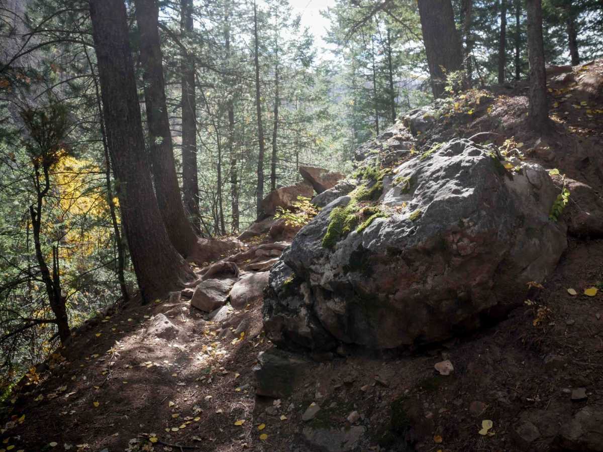
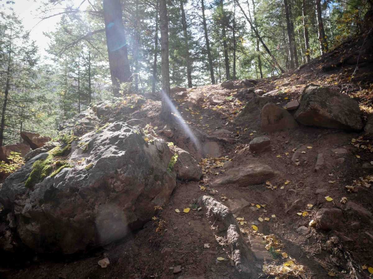
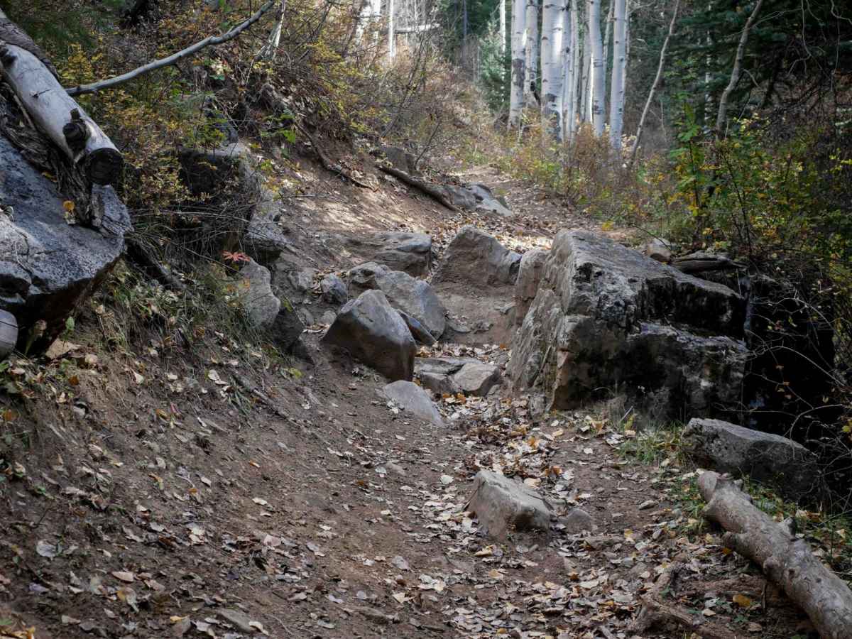
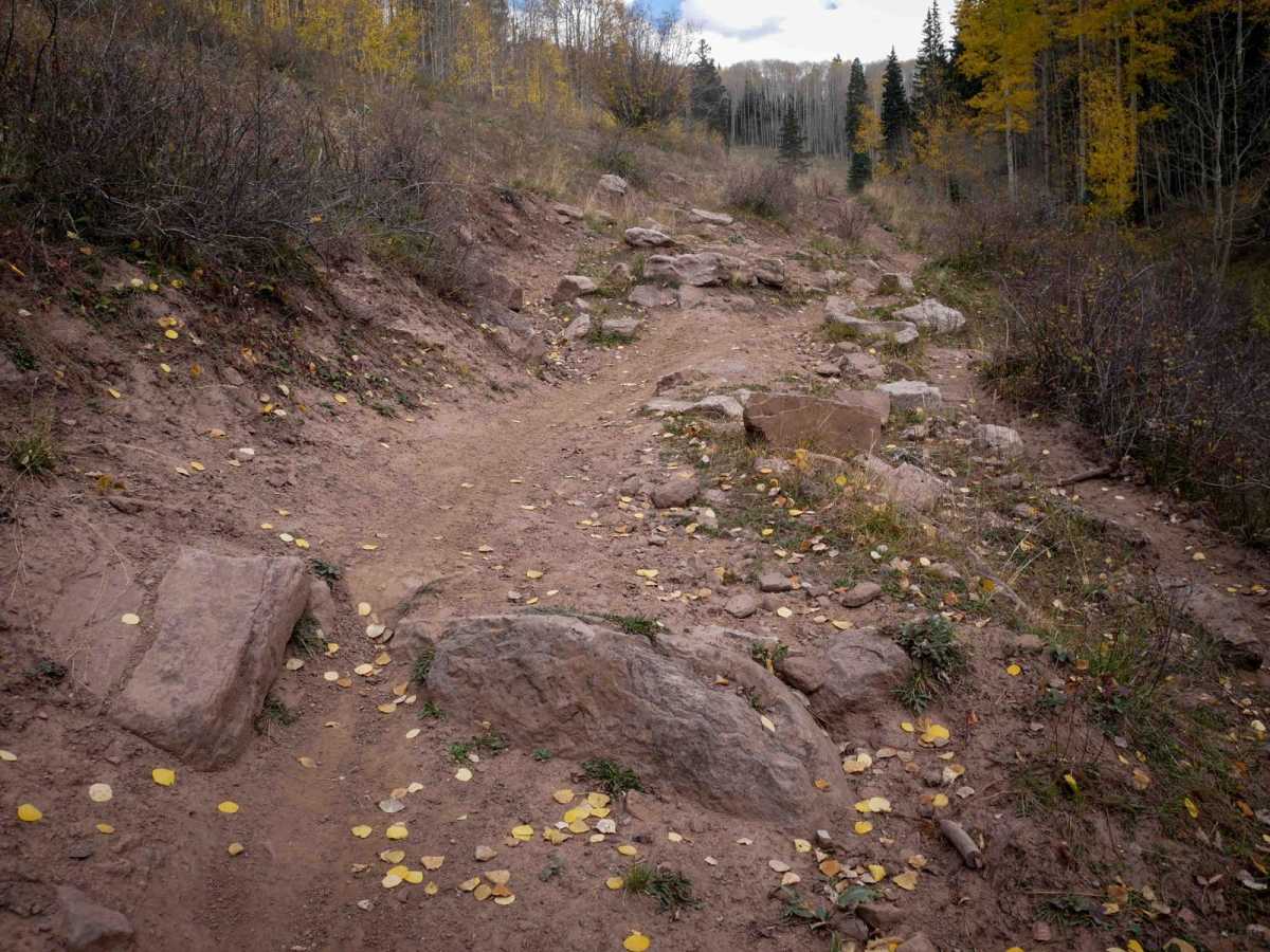
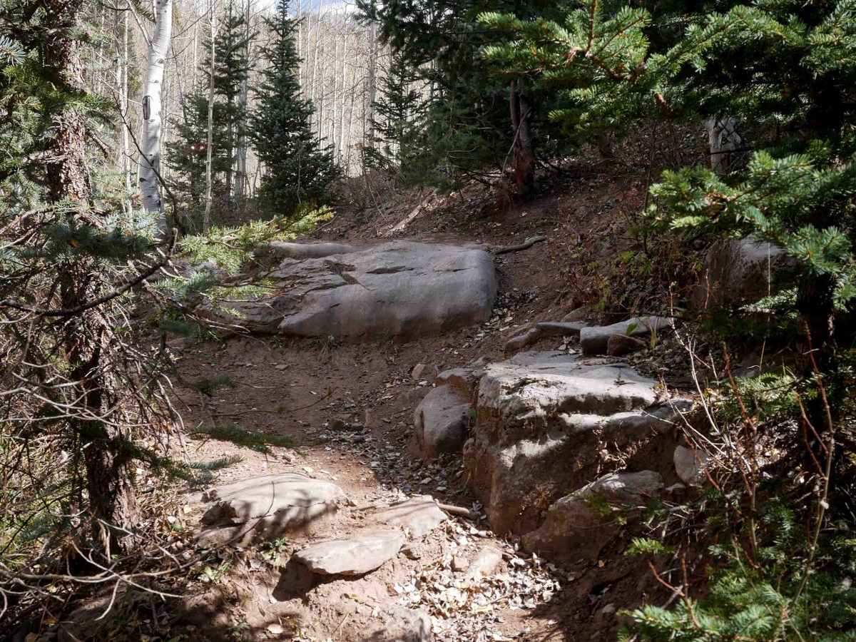
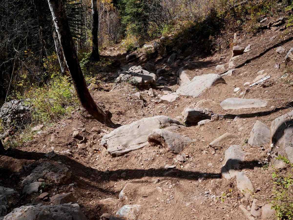
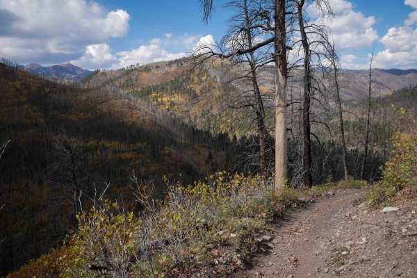
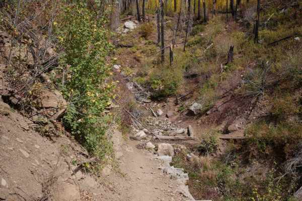
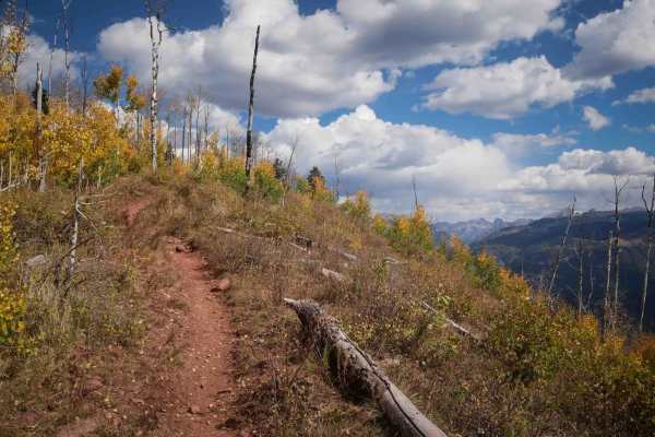
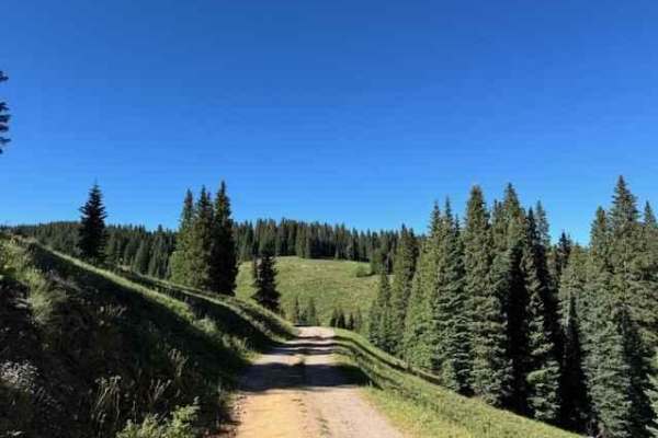
Dutch Creek is a technical single track that mostly descends from north to south, dropping 2,350 feet in elevation over 6 miles. The north end starts in a big meadow at the intersection with Pinkerton-Flagstaff, then it descends along a creek drainage. It's a narrow shelf trail elevated above the creek. It has a lot of smooth sections and embedded rocky sections where you either have to weave through the rocks or they are a 1-foot tall ledge you have to drop off of. It crosses little rocky ravines and rocky stream crossings. You have to go up and down a couple of significant rock-ledge obstacles that are the crux of the trail. They are like a series of ledges with embedded boulders and roots requiring advanced skill. The trail has a lot of steep downhill sections that are narrow and shelfy, with embedded rocks and roots. Parts of the trail go through a burn area from a fire in 2018, so there is always potential for new hazards in the burn area, like rockslides and downed trees. This trail could get significantly harder if trees come down in the shelf sections. The south end gets easier and looks more ridden, becoming faster, flowy, and less shelfy and narrow. The south end intersects with the Hermosa Creek ATV trail.
Difficulty
This is a more advanced single track due to steep descents that are rocky and rutted with rock ledges, several big rock obstacles, and really narrow side-hilling throughout the entire route. The difficulty of this trail can also drastically change with new hazards in the burn area.