Hermosa Creek

Total Miles9.2
Technical Rating
6Moderate
Best TimeSummer, Fall
Trail TypeSingle Track
Accessible By
Open Trail Map

Trail Overview

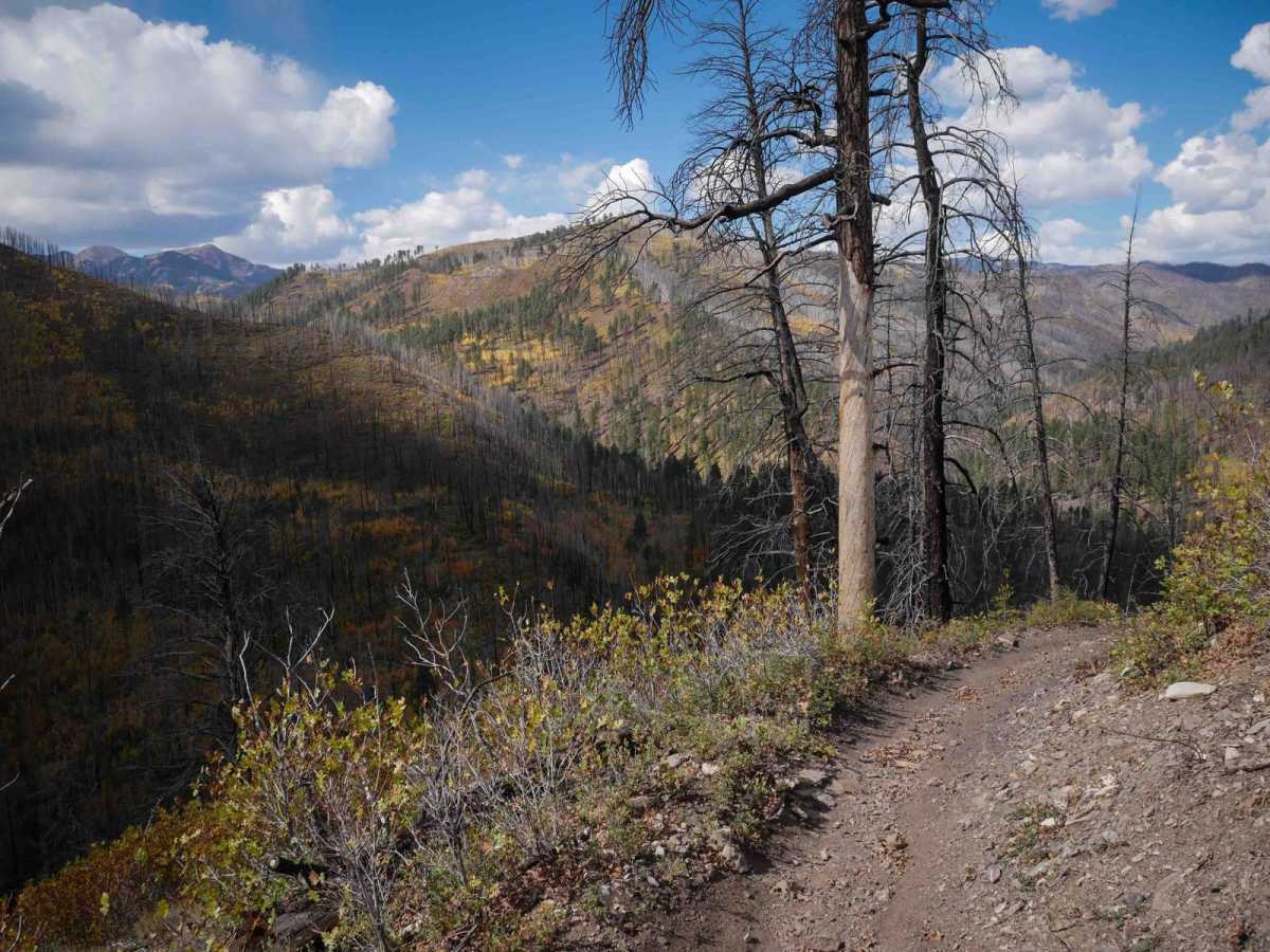
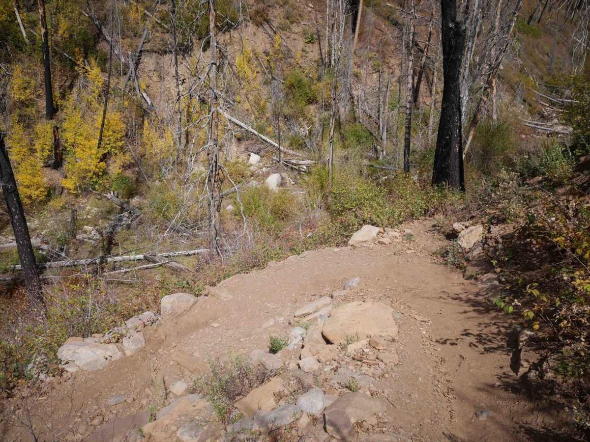
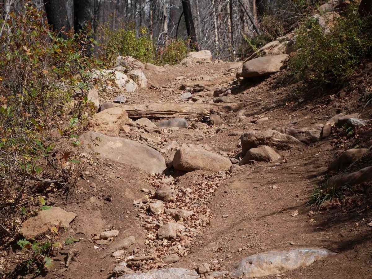
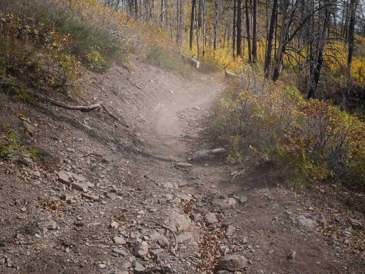
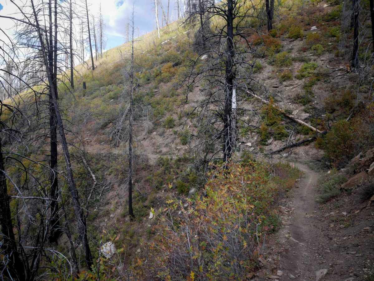
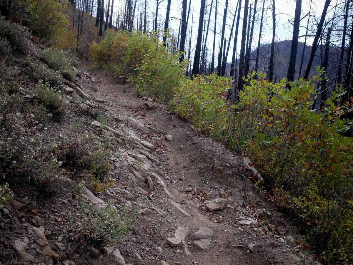
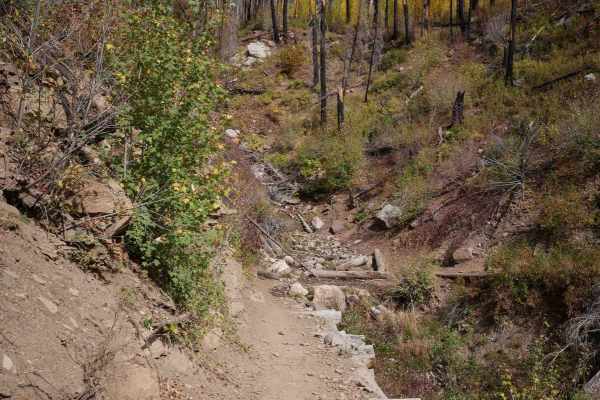
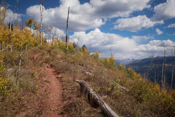
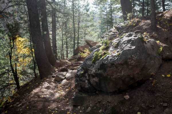
Hermosa Creek is a fun and challenging single track on the edge of the Hermosa Creek Wilderness with extreme exposure, scenic views, and some rocky challenges. From the intersection with Dutch Creek, it side hills along a hillside in the burn area, following the edge of the mountainside. The burn was only in 2018, so the trees are still short, giving you a great view of the creek below. It switchbacks down to cross a creek. As it rides down by the creek for a moment, it has a few more enormous embedded boulders you must weave through or go up and over. It climbs back out from the creek and continues west as a narrow, shelfy trail that side-hills above the creek. Sometimes, it's way up high above the creek, cutting across a steep slope, so the drop off to the side is pretty extreme. A lot of the trail is smooth, but there are roots and embedded rocks that you have to ride over in these shelf sections. You don't want to get target-fixated on those little features and end up sliding off the side of the hill. Near the north end, it crosses a wooden bridge to the other side of the creek, then turns into an ATV trail that will take you out to the Upper Hermosa Creek Trailhead on Hermosa Park Road.

Photos of Hermosa Creek

Difficulty

This trail is almost ten miles long, and has pretty extreme exposure throughout most of the route. It's extremely narrow, with no bailouts, and it will be very hard to turn around or pass other riders. There are bigger embedded boulders on some of the less narrow sections, and rock ledge obstacles. You don't want to ride this one if you are afraid of heights!

Technical Rating

6

Status Reports

Add Status Report
bobby price
Aug 25, 2026
2022 KTM 500EXC
Obstructed
Downed Tree
I went south to north. It was clear and good conditions until about 10 miles in where you see the hermosa creek symbol on the map. Impassable tree down where two other riders had a struggle getting around it and one dropped their bike down the side which caused a rather lengthy recovery I heard. They agreed it would be impossible to get around it unless it was a group effort. This trail is amazing dry but very slick if you get hit by an afternoon shower like I did on the way back. My friend took this video when he road it. Link https://youtu.be/eN0RRYT6RiM?is=CaQbxIQqBw8F86R2
Larry Lengner
Aug 07, 2026
Obstructed
Downed Tree
This is trail report but also a warning. This trail is basically 3 parts. Parts should be a hiking or MTB trail only. I have done maybe 10 times but won’t do whole thing anymore on MX unless I am with someone else who is also capable of very narrow and rocky trail. There are areas where a mistake can be a big deal. Trail is only 8 inches wide with cliff and where it isn’t a sheer cliff it is steep enough to maybe loose your bike if you don’t have someone to help you drag it back up. Don’t underestimate this trail on a MX. Upper 3rd and lower 3rd all fine and can be challenging but nothing most can do. The middle part however is very challenging and the problem is people get there and have to decide do I go back through the stuff that just scared the heck out of me or do I keep going forward hoping that was the worst of it. It gets worse before it gets better. There should be warning signs at a certain point because you start off fun and easy and then soon get in over your head and can’t turn around.
adam smith
Jul 15, 2026
Obstructed
Downed Tree
Everything was good except 2 down trees that are difficult to get around and about 5 down trees that are simple to get over.
Will Cheek
Sep 07, 2025
2017 Husqvarna FE501
Open
Normal
Trail is in good shape. A couple downed trees but passable.
Vasily Eliseev
Aug 30, 2025
Obstructed
Downed Tree
Trail was fine riding from north to south until we reached the junction with Dutch creek. From there it became impassable due to innumerable tree fall. We had to back track more than 10 miles.
Josh Moore
Jun 22, 2025
Obstructed
Multiple downed trees on side hill sections of the trail. They’re passable if you’re willing to work for it.

Hermosa Creek Trail can be accessed by the following ride types:

  • Single Track

Hermosa Creek Map

The onX Offroad Difference

onX Offroad combines trail photos, descriptions, difficulty ratings, width restrictions, seasonality, and more in a user-friendly interface. Available on all devices, with offline access and full compatibility with CarPlay and Android Auto. Discover what you're missing today!

Open Trail Map