Dunning Creek West

Total Miles1.7
Technical Rating
3Easy
Best TimeSpring, Summer, Fall
Trail TypeFull-Width Road
Accessible By
Open Trail Map

Trail Overview

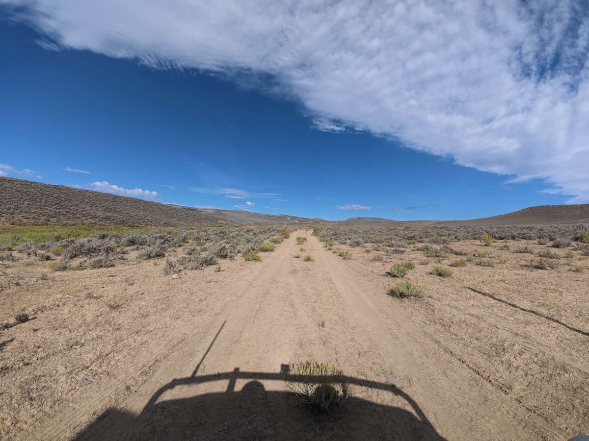
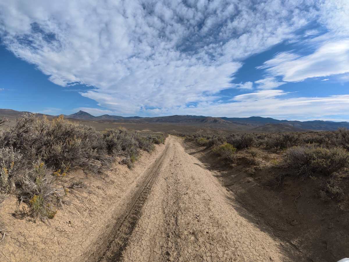
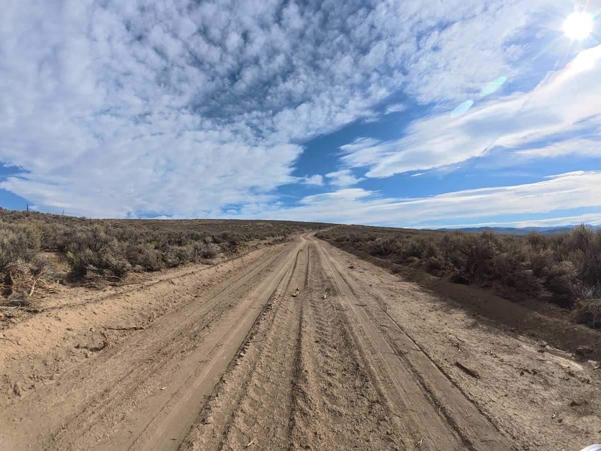
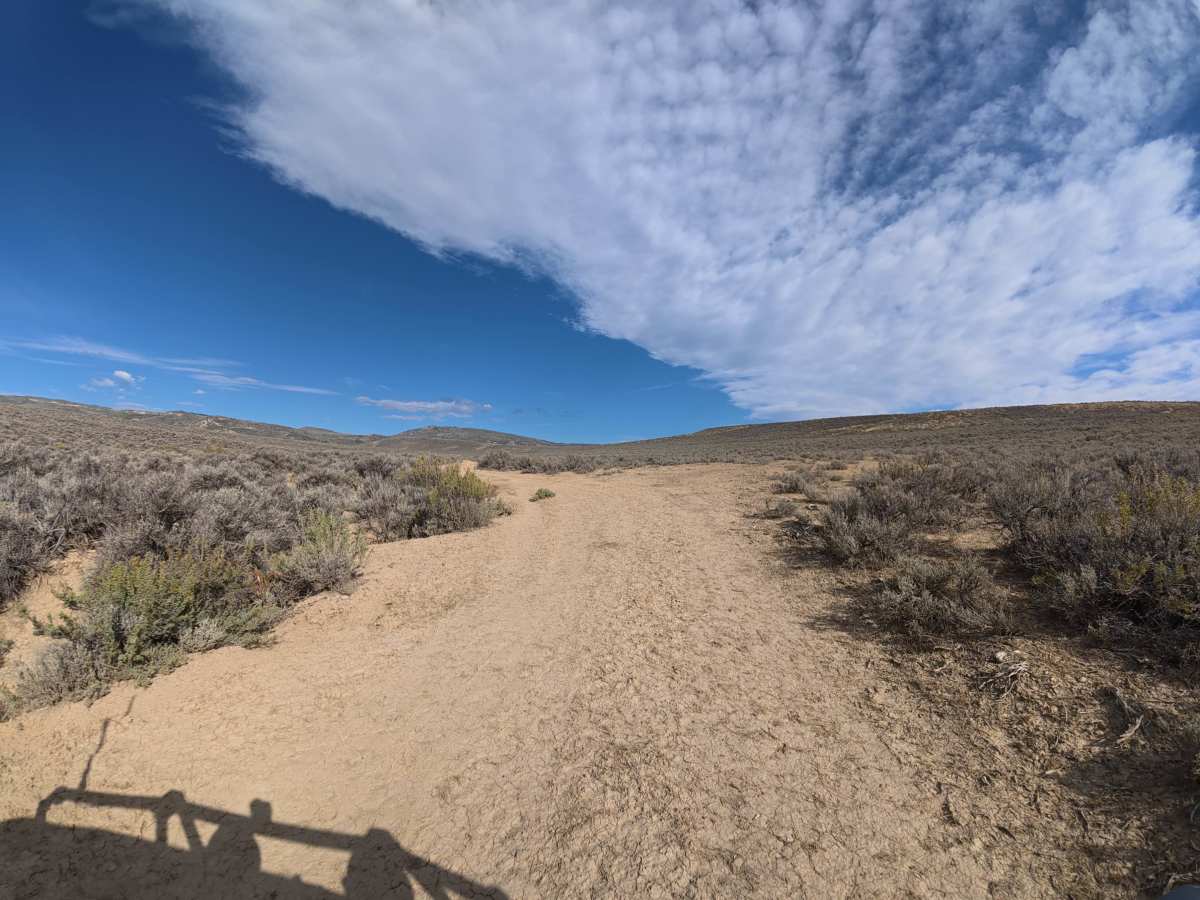
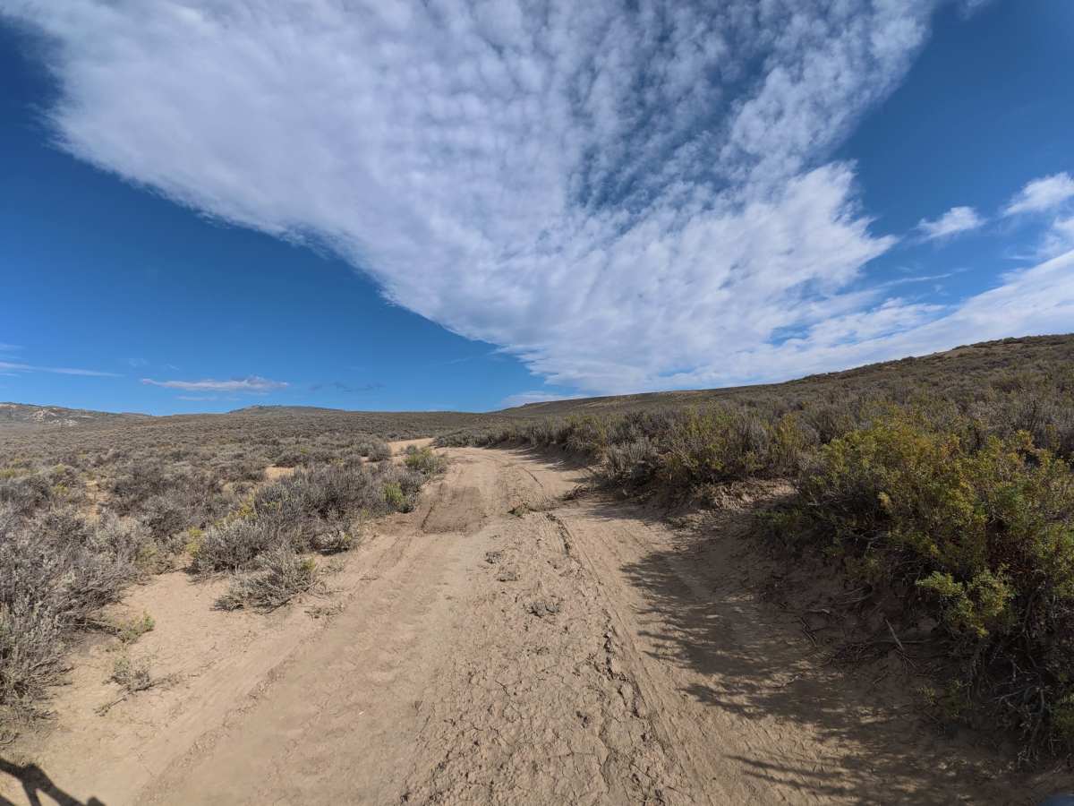
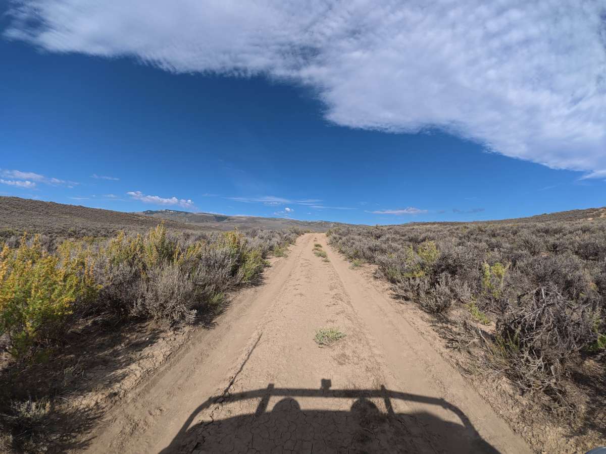
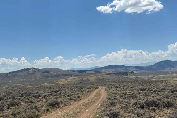
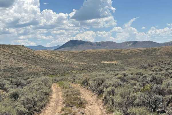
This scenic trail branches from Dunning Creek and continues west into the BLM area. The narrow route consists mostly of fine dirt that can become extremely difficult when wet, with 4-inch ruts at the beginning increasing to 8–10 inches around 0.5 miles. Use caution around the trail edges, as deep washouts can weaken the sides and create a risk of the trail collapsing if you drive too close to the edge. At 1.2 miles, a level campsite can accommodate up to four vehicles and offers excellent mountain views.

Photos of Dunning Creek West

Difficulty

This trail is rated Level 3 because of the narrow route, deepening ruts, significant washouts, and soft terrain.

Technical Rating

3

Dunning Creek West Trail can be accessed by the following ride types:

  • Single Track
  • 50 Inch
  • 60 Inch
  • High Clearance
  • Full Width

Dunning Creek West Map

The onX Offroad Difference

onX Offroad combines trail photos, descriptions, difficulty ratings, width restrictions, seasonality, and more in a user-friendly interface. Available on all devices, with offline access and full compatibility with CarPlay and Android Auto. Discover what you're missing today!

Open Trail Map