Trail Overview
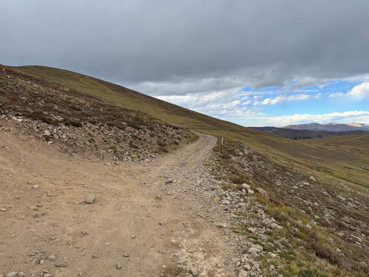
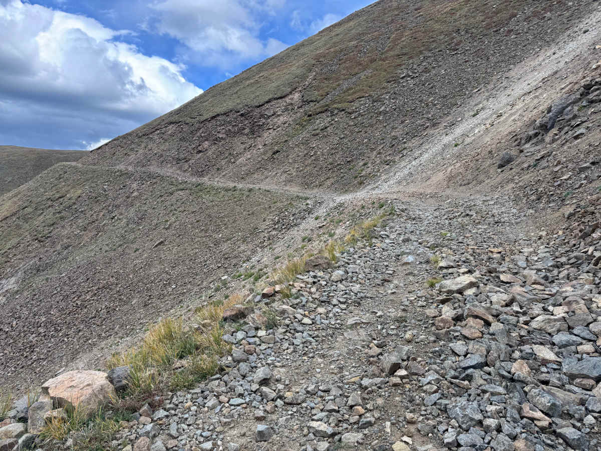
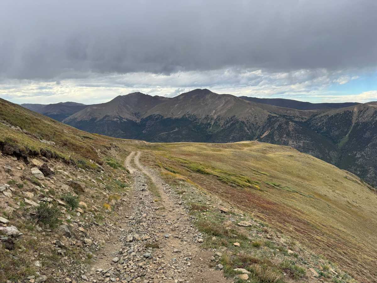
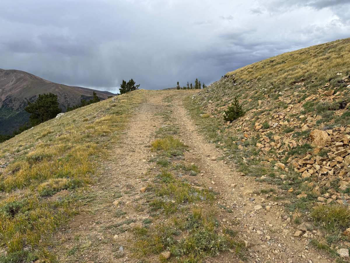
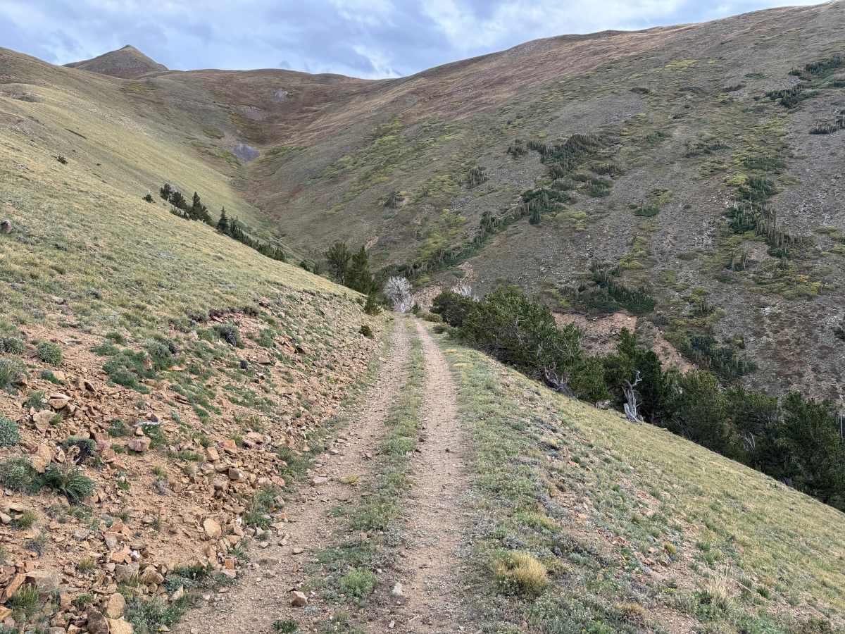
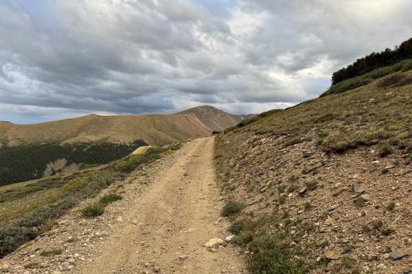
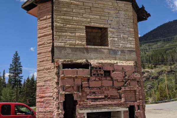
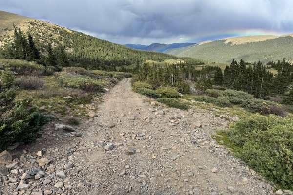
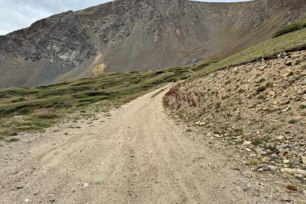
Denarius Mine Road travels through high-elevation terrain on the slopes above the Argentine Mining District, remaining largely above timberline as it crosses open alpine tundra and rocky mountainsides. The surface varies from relatively smooth dirt two-track to rougher stretches covered with loose and embedded rock, with portions cut into steep slopes and limited room for vehicles to pass. Low grasses, alpine vegetation, scattered bristlecone or limber-type pines, exposed rock, and talus dominate the surroundings, while open sections provide expansive views across the surrounding valleys, forested mountains, and distant peaks. Near the mine, historic structures and mining remains are still present, including a corrugated-metal building, a gated mine portal, timbers, rails, and waste-rock piles. The road provides access to the Denarius Mine area and is part of the larger network of historic mining roads surrounding Argentine Pass and Leavenworth Creek. There is no fixed seasonal motorized closure listed for this route, but heavy snow typically limits access during the winter and spring. Summer through early fall generally provides the most reliable access, although lingering snow can remain into early summer and early-season snow may return in the fall.
Difficulty
The route includes moderate grades with loose and embedded rock, shallow ruts, erosion, and rougher rocky sections that become off-camber in several areas. Portions are only one vehicle wide along steep mountainsides with limited room to pass or maneuver, requiring careful tire placement, but there are no major technical obstacles under normal dry conditions.
History
The mountains above Georgetown and Silver Plume contain an extensive network of historic mining, wagon-road, and railroad corridors. Silver discoveries in the Argentine district began in the 1860s, and wagon toll roads were constructed through the Leavenworth Creek drainage and across Argentine Pass beginning in 1869, providing an important early connection between Georgetown and mining communities west of the Continental Divide. Transportation changed again in the early 1900s with construction of the three-foot narrow-gauge Argentine Central Railway. Beginning at the Colorado & Southern connection at Silver Plume, the railroad climbed through the mining district to Waldorf and ultimately reached Mount McClellan. The line used steep grades, sharp curves, switchbacks, and Shay locomotives to negotiate the mountains while hauling ore and carrying tourists into the high country. Clear Creek County records the railway opening to Waldorf in 1906, and historical documentation shows that portions of today's roads through the area occupy or closely follow the former railroad grade.

 Offroad