Trail Overview
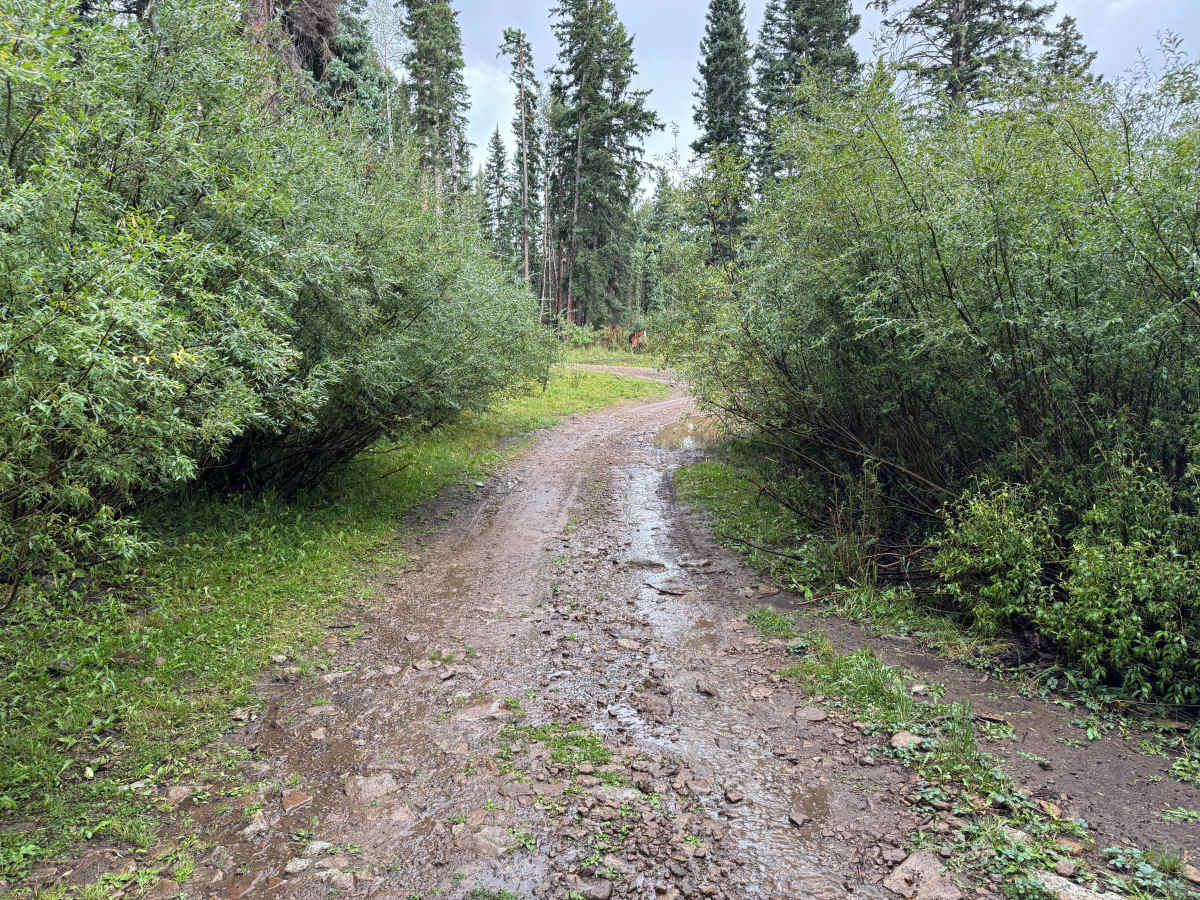
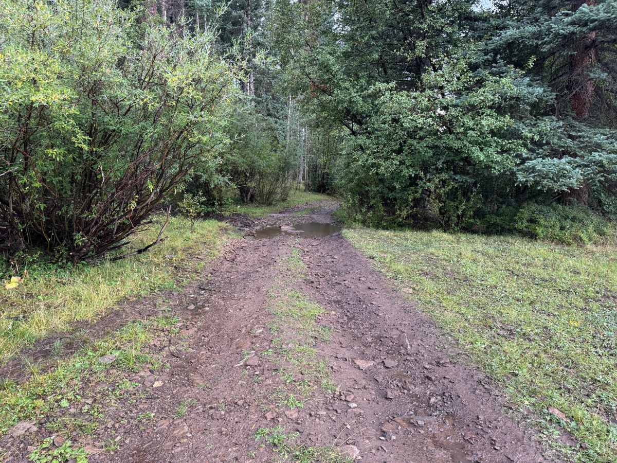
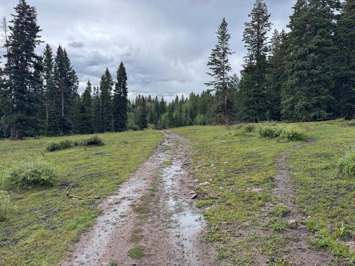
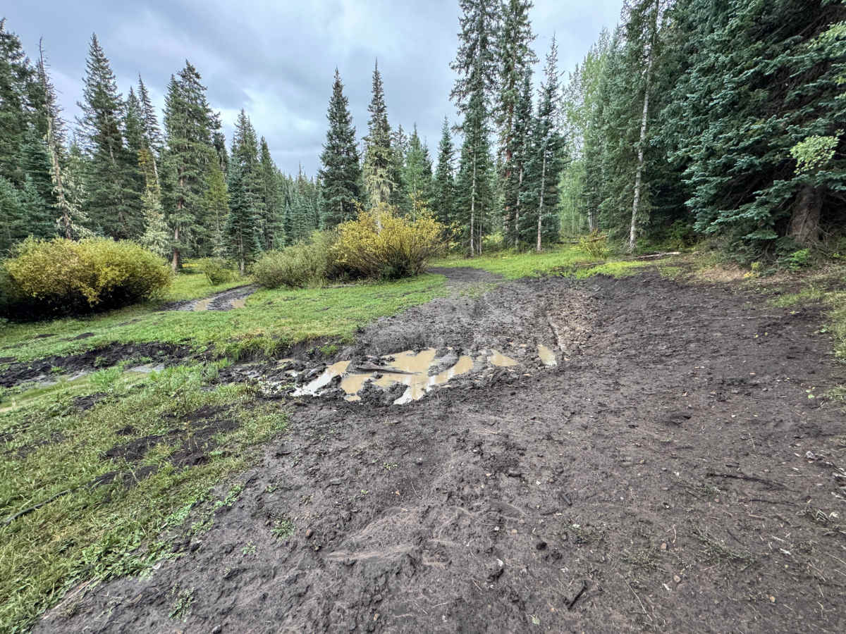
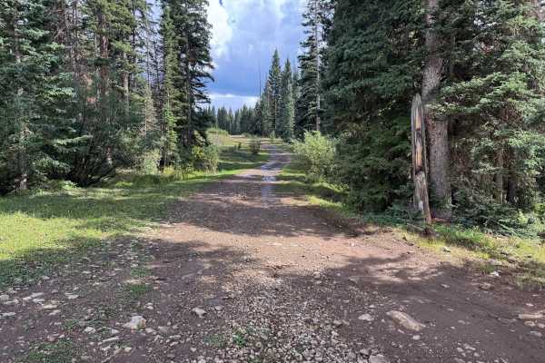
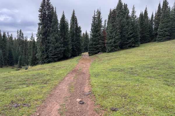
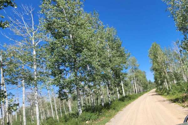
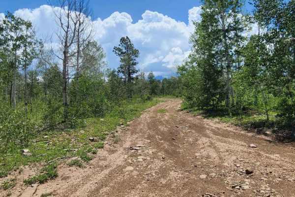
This is an out-and-back route that travels through a mix of dense forest, thick shrubs, and more open meadow-like areas. Near the beginning, bushes and other vegetation grow close to the trail, creating some narrow sections where pinstriping may be possible. Farther along, the surroundings open considerably, although the traveled portion of the trail generally remains about one vehicle wide. The surface varies between dirt, scattered rock, and muddy sections, with standing water and shallow mud holes present after rain. The route also passes near a stream and through areas surrounded by conifers, aspens, and dense undergrowth. When wet, the dirt becomes extremely slick and can feel similar to driving on ice, making vehicle movement somewhat unpredictable. At the end is a turnaround area that can become heavily rutted, muddy, and soft. Depending on recent weather and vehicle capability, some drivers may have difficulty using the turnaround safely.
Difficulty
The route is generally easy with no major technical obstacles, but wet conditions can significantly increase the difficulty. The dirt and rocky surface can become extremely slick after rain, causing reduced traction and unpredictable vehicle movement. Mud holes and standing water are present in several areas, with the most significant concern being the heavily rutted and muddy turnaround at the end of the route. Some vehicles may have difficulty completing the turnaround when conditions are wet and soft. The trail is generally one vehicle wide, with some tighter sections caused by surrounding vegetation.
History
Haycamp Mesa has a long history of ranching, sheepherding, logging, and transportation. Historic stock driveways and early roads crossed the mesa, providing access between ranching areas around Dolores and the higher summer ranges of the San Juan Mountains. The Lost Canyon Stock Driveway served as the primary livestock route across Haycamp Mesa throughout much of the 20th century and was used predominantly by sheep operations. Hispanic and Basque sheepherders also left hundreds of historic carvings, known as arborglyphs, in the area's aspen trees. Historic surveys have documented stock trails, camps, roads, and other remnants associated with generations of livestock use. Logging and forest management also shaped portions of the mesa and contributed to the extensive network of roads that exists throughout the area today.