Cinnamon Pass

Total Miles24.2
Technical Rating
3Easy
Best TimeSummer, Fall
Trail TypeFull-Width Road
Accessible By
Open Trail Map

Trail Overview

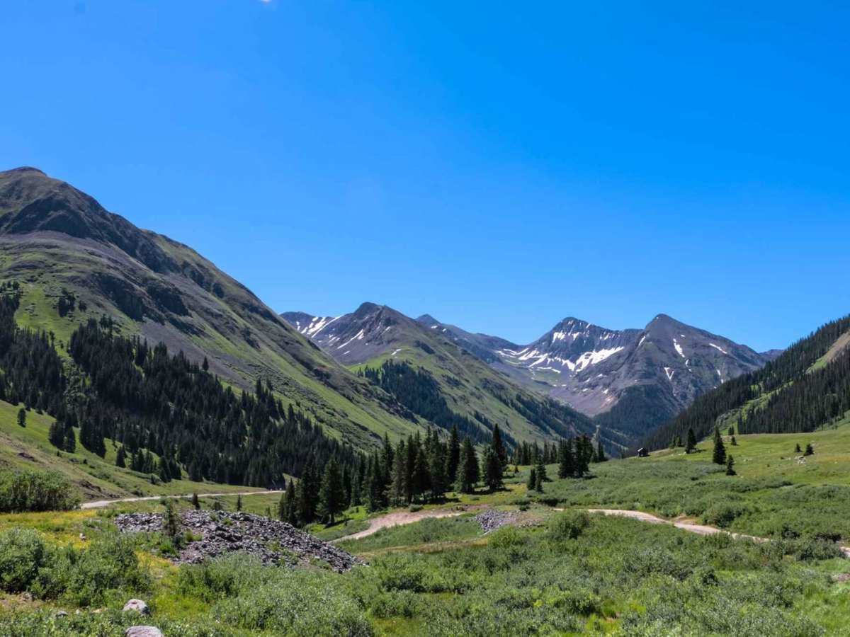
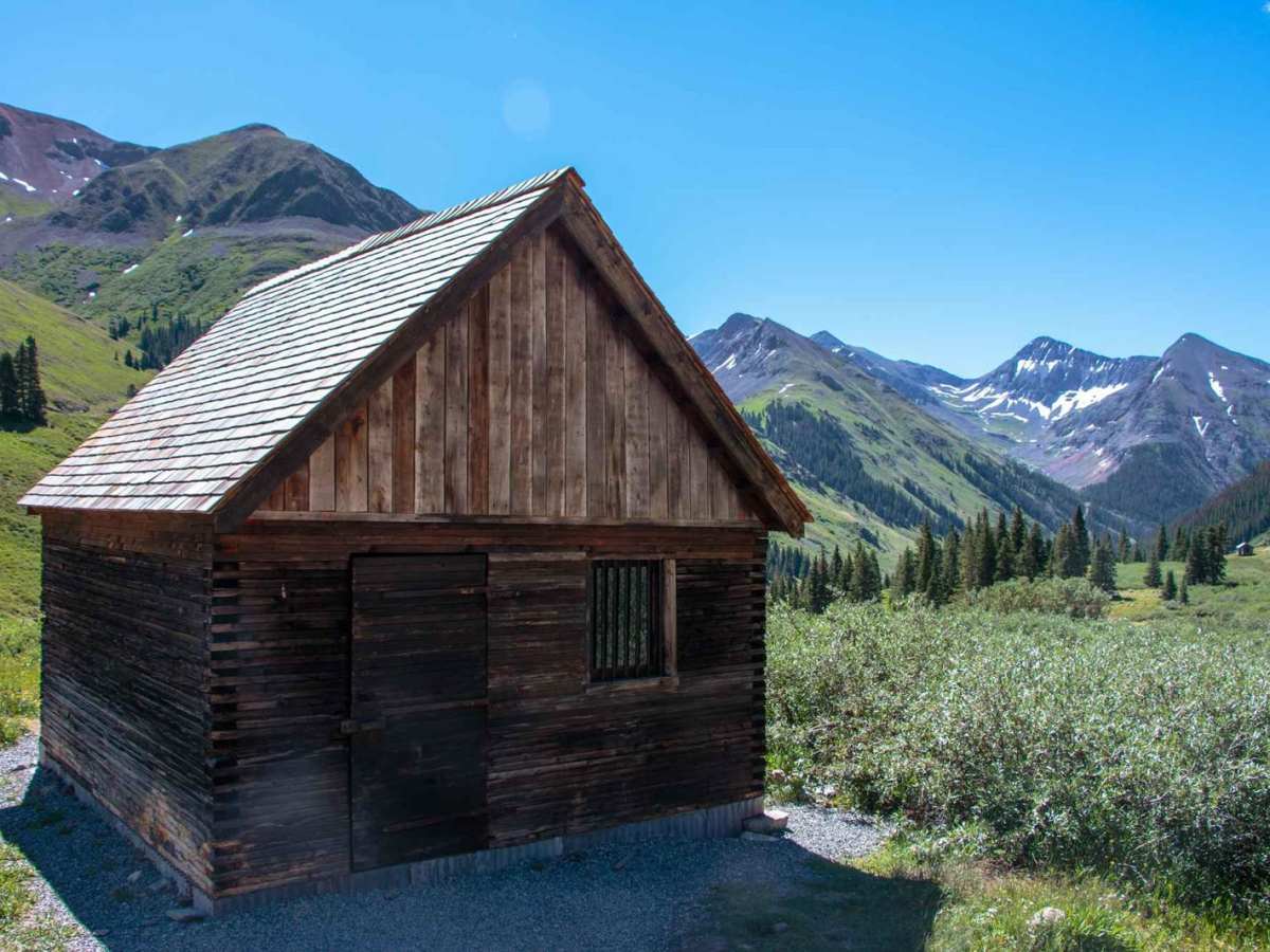
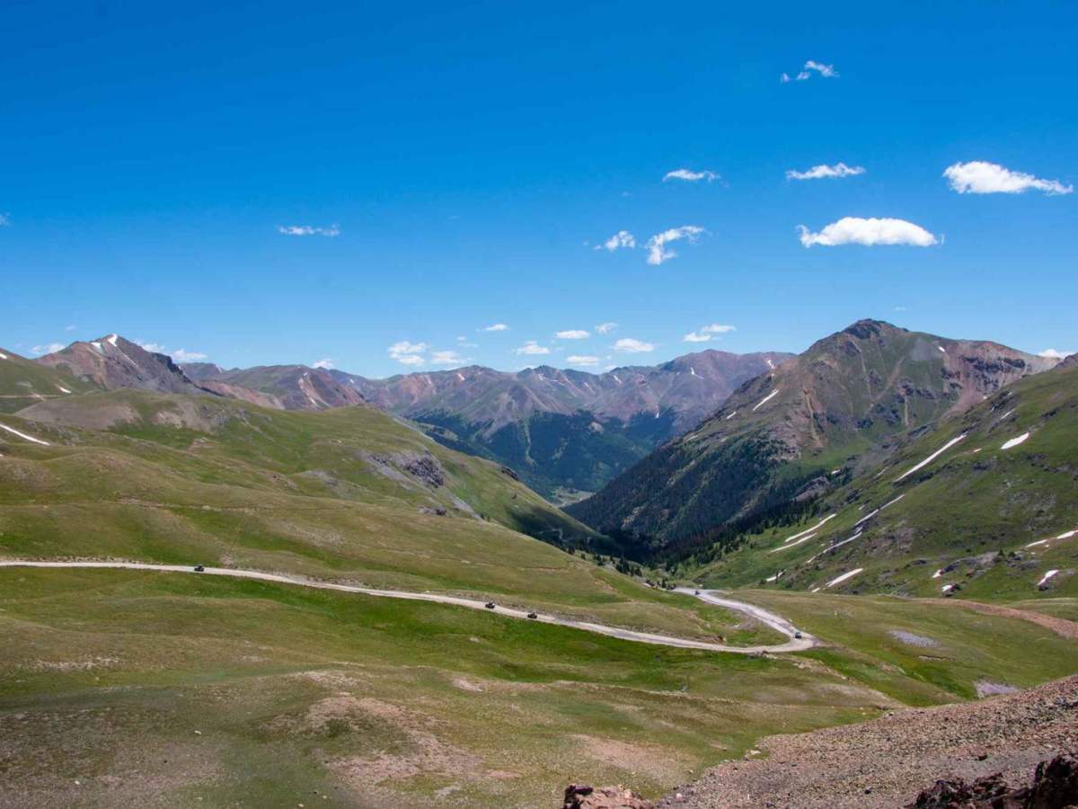
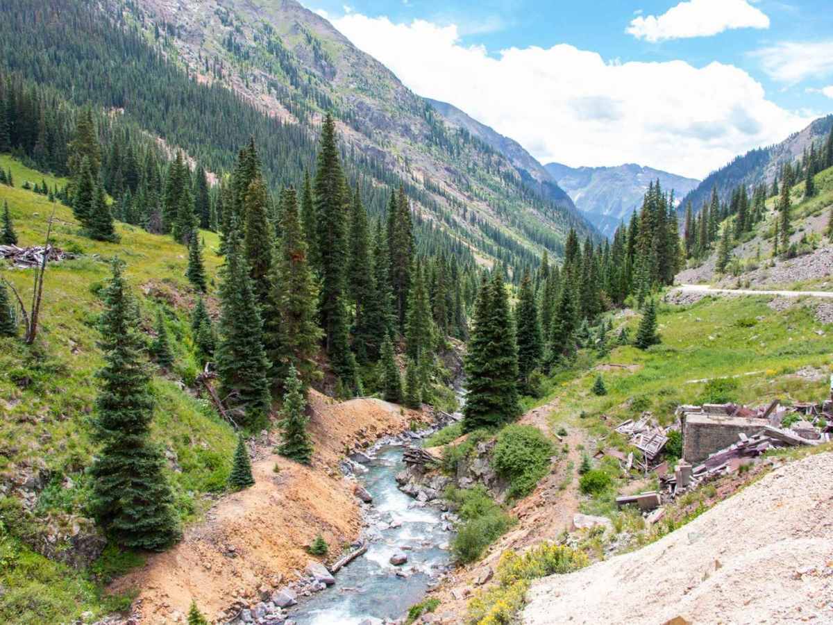
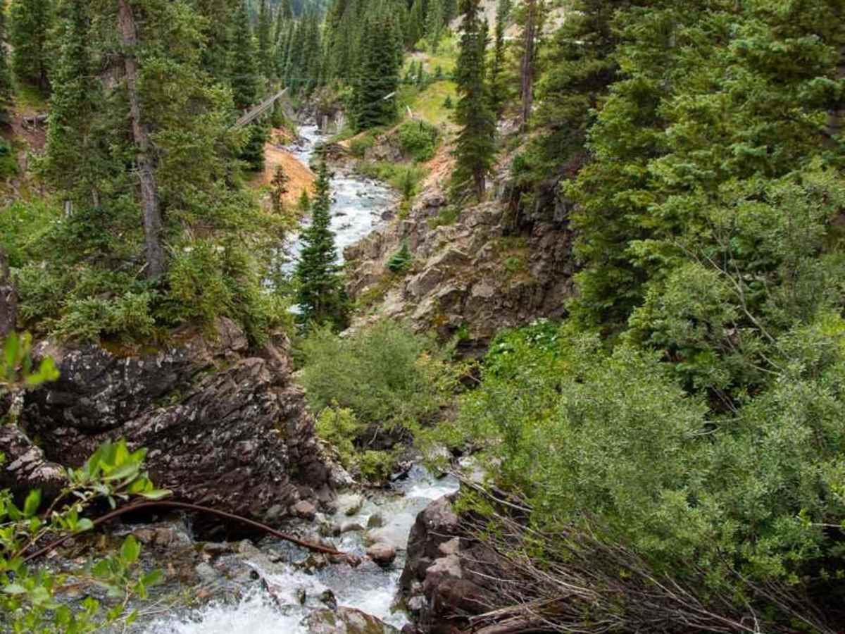
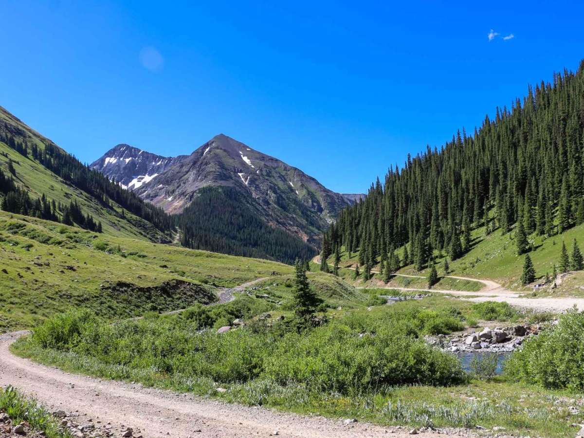
Enjoy this section of the famous Alpine Loop, which can be combined with Engineer Pass. Take Wager Gulch up to Carson Ghost Town, and follow Cinnamon Pass Road up to American Basin. Take a moment to enjoy the wildflowers this area is known for. Staging is available on the western side across from Eureka Campground. The east side has staging area options.

Photos of Cinnamon Pass

Difficulty

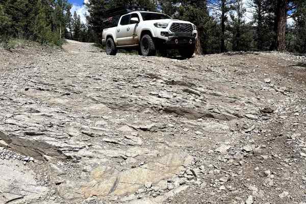
Moderate. Most of this trail is easy; however, the western end is steep and rocky in a few places. The side trip up Wager Gulch is more difficult. All roads, when dry, are suitable for any stock 4x4 SUV with moderate ground clearance. The side trip up American Basin is borderline difficult.

Technical Rating

3

Status Reports

Add Status Report
Chris
Jul 19, 2026
2024 Jeep Gladiator
Open
Great trail. Highly recommend. Traveled east to west.
Cole Miller
Jul 18, 2026
Open
NormalMuddy/Wet
Nice trail. Super easy. Really scenic and beautiful. Thumbs up!
Chris Hanshew
Jul 17, 2026
2013 Toyota FJ Cruiser
Open
Normal
East half is very easy.
Todd Elliott
Jul 16, 2026
2026 Toyota Tundra
Open
NormalMuddy/Wet
Trail was in great shape. A little tight for a full size truck but doable.
Greg guili
Jul 14, 2026
Open
Normal
Great trail and easy for the Bronco
Noot Noot
Jul 11, 2026
Open
Normal
Took a stock 4Runner and Tacoma Sport on the pass, super easy and great conditions! We chose to air down tires to make the ride smoother, wasn’t necessary for this part of the loop.
Dawson C
Jul 02, 2026
2016 Rubicon JKU
Open
J. Little
Jun 30, 2026
Open
NormalDustyRough/DeterioratedWashboard
CP and EP of Alpine Loop both open 6/30/26. Trail was normal, air quality was excellent, no smoke from Gold Mtn fire.
Torry
Jun 10, 2026
2021 Bronco Widetrack
Open
Rough/DeterioratedDusty
We started on the west side of the trail coming from Engineer Pass. It was very steep and rough on that side and throughout the west half of the trail. Slow going and you'll need to pick your line carefully. Shelf roads for part of the route. We saw a lot of SxS's and a few Jeeps and full size trucks. Was very beautiful! The tundra was in bloom and we even saw a few deer just off the trail. The were smoothing the west half of the trail with a dozer as we went through. Once you reach the Silver Creek/Grizzly Gulch trailhead its easy going the rest of the way. I noticed the difficulty was raised from a 1 to 3. 3 difficulty is definitely more accurate for the west half.
Dan H
May 28, 2026
2026 Chevrolet Traverse Z71
Open
Normal
It was more difficult to get to Cinnamon Pass than to get up it, with the exception of the first 100 yards after you turn the corner up the pass from Animas Forks. The first hundred yards required carefully picking a line so that I did not scrape in my unmodified OEM SUV with just under 8" of ground clearance. I was able to make it without any contact on the skid plates. The rest of the ascent was easy. Others I met at the top had come from Lake City saying it was clear all the way. Alpine tundra was not in bloom yet but it was still beautiful.
Chris Bassil
May 24, 2026
Open
Normal
Open and mostly dry trail from Lake City to Animas Forks to Silverton.
Zane McConkey
May 06, 2026
2023 Toyota Tacoma
Open
Muddy/WetSnow/Ice
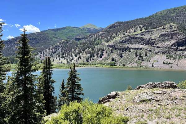
We hit the trail a few hours after Lake City got about 3 inches of snow. The road by the lake had already melted but halfway up Shelf road still had wet snow. Not impassable by any means but we didn’t want to get to a place were we couldn’t turn around
Henry fair
Mar 19, 2026
2023 Toyota 4Runner
Temporarily Closed
Seasonal Closure
Alexander Roman
Sep 29, 2025
Open
NormalDusty
I find the trail description is probably true for most of the length of the route, however there is a fairly large ledge (18-24”) on the first switchback going east from the pass (towards Lake City) that makes this a more challenging path.
Mike Schentag
Sep 20, 2025
Open
Did this twice in my Rivian R1S, once in the morning and then again later in the evening. Later in the evening it was raining pretty hard, the only other vehicle up there with us was a GX 550, which ironically enough also did it twice today. I heard some other people down in animas Forks say that the West side of this pass is more difficult, I thought they were equally difficult, just a little different.

Cinnamon Pass Trail can be accessed by the following ride types:

  • Single Track
  • 50 Inch
  • 60 Inch
  • High Clearance
  • Full Width

Cinnamon Pass Map

The onX Offroad Difference

onX Offroad combines trail photos, descriptions, difficulty ratings, width restrictions, seasonality, and more in a user-friendly interface. Available on all devices, with offline access and full compatibility with CarPlay and Android Auto. Discover what you're missing today!

Open Trail Map