Trail Overview
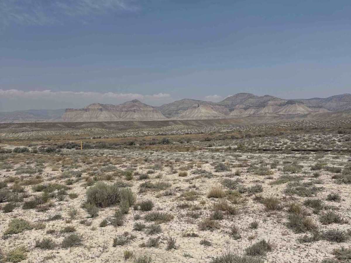
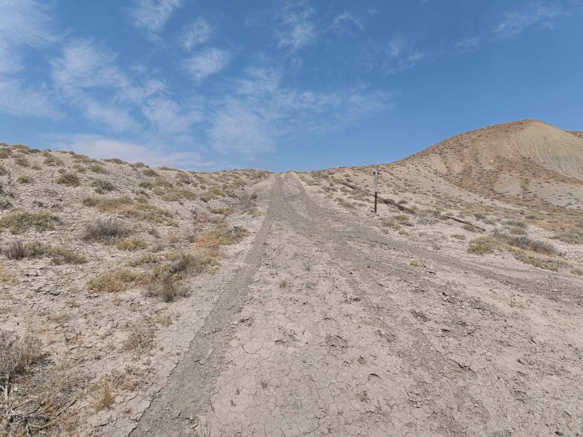
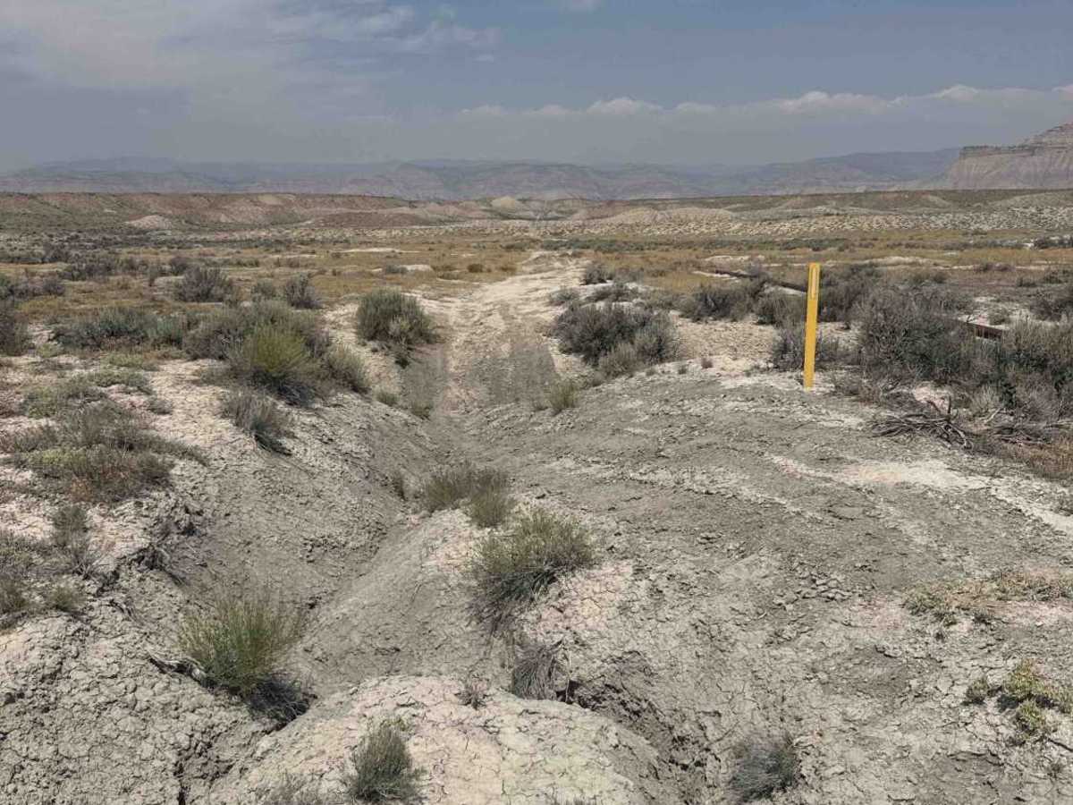
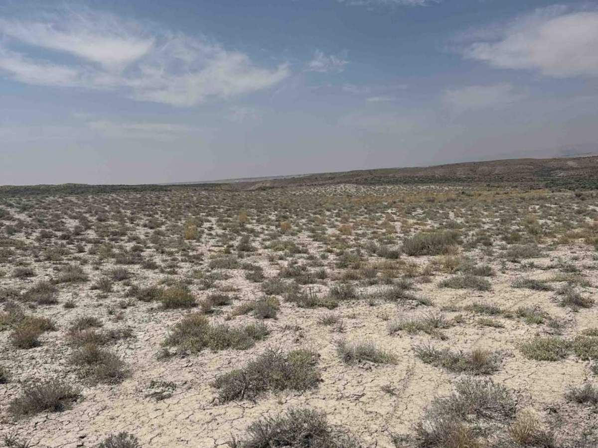
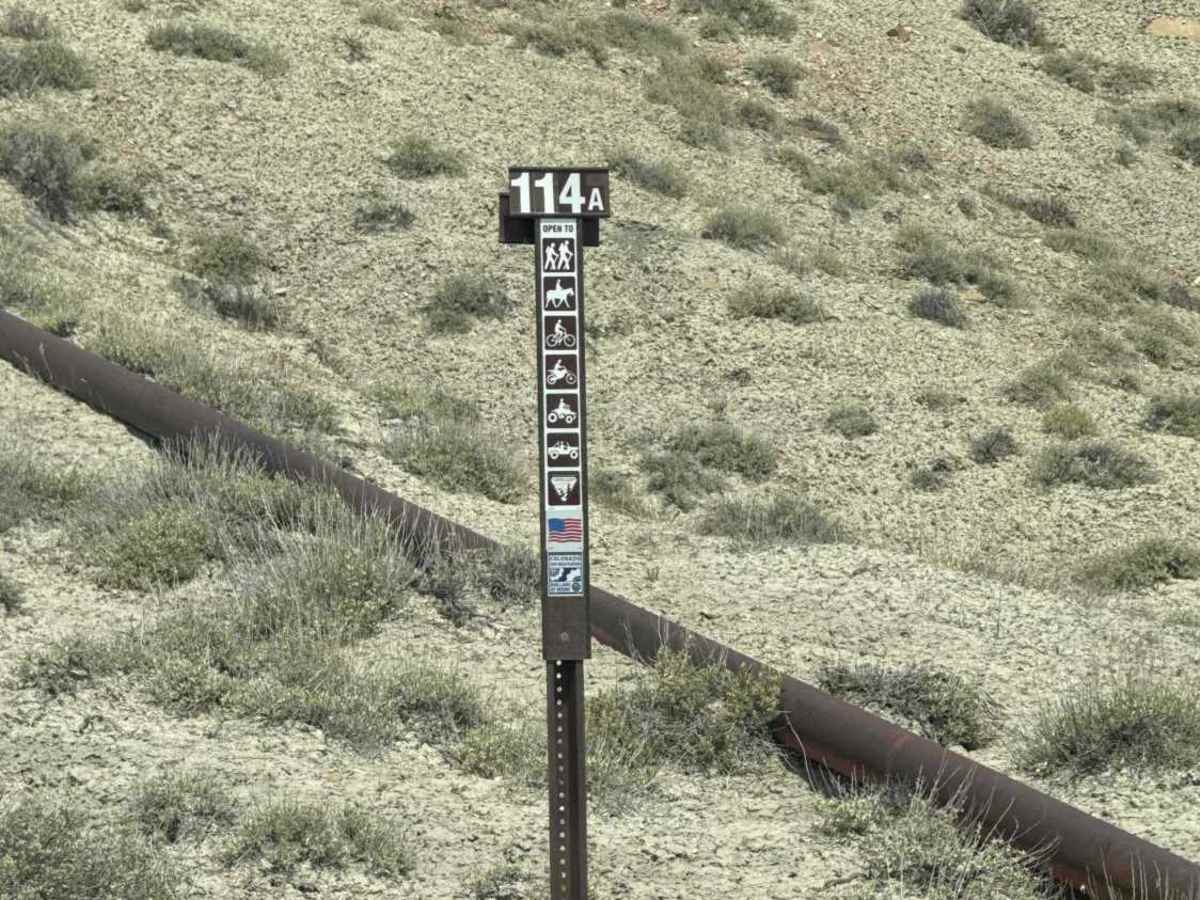
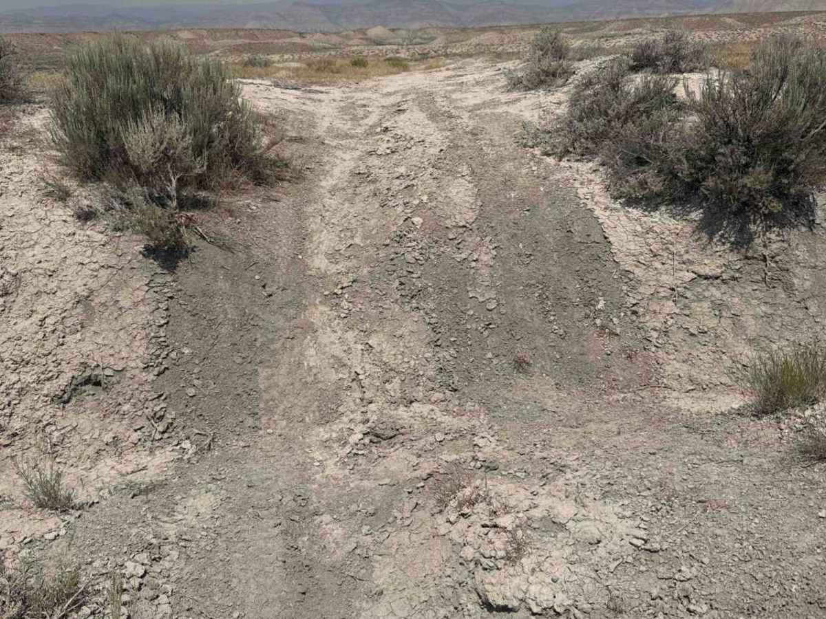
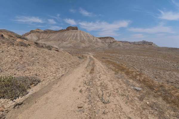
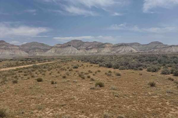
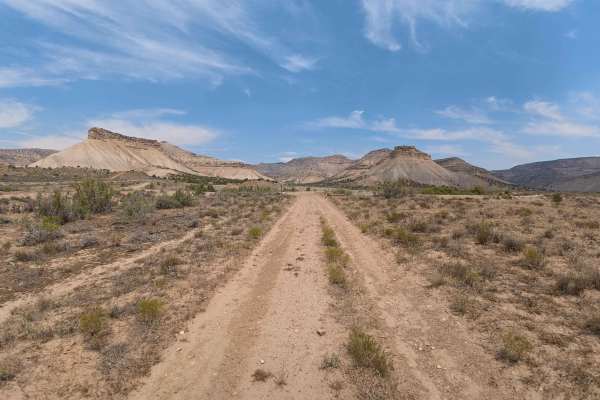
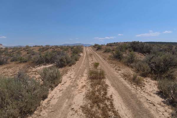
Set across an arid high-desert badland landscape characterized by sparse sagebrush scrub, rolling clay knolls, and dramatic vistas of the Book Cliffs managed by the Bureau of Land Management (BLM), BLM 114A offers a rugged and technical short journey. Accessed directly from the terminus of County Road 6.5, this 0.7-mile single-lane track functions strictly as an out-and-back spur due to a severe, impassable canyon washout at its end. Recreationists and off-road drivers explore this route primarily for backcountry camping, photography, and taking in expansive desert views. The driving surface consists of soft, powdery sand and fine silt marked by initial 2- to 6-inch wheel ruts, a steep hill ascent, and a complete road collapse, earning a technical Grade 4 difficulty rating. Leaving County Road 6.5, the trail immediately ascends a loose silty incline before leveling out alongside an above-ground, rust-colored steel natural gas pipeline that runs within a few feet of the driving line. A primitive campsite turnout appears early in the drive. At 0.7 miles, the road terminates abruptly at a massive, 15-foot-deep erosion gulley spanning hundreds of yards with no possible bypass, requiring all vehicles to turn around. Travel must be strictly limited to dry weather, as wet desert silt turns into impassable mud.
Difficulty
Earning a technical Grade 4 difficulty rating, this 0.7-mile desert spur features severe terrain hazards and an absolute road blockage. As visible in the photos, primary obstacles include an immediate steep climb up loose, powdery soil with 2- to 6-inch ruts, an exposed natural gas pipeline sitting right on the ground alongside the track, and a sudden, 15-foot-deep terminal washout cutting across the entire trail corridor. Drivers should maintain steady momentum up the initial silty incline, exercise extreme caution to remain centered on the track away from the pipeline, and perform a turnaround well short of the precipitous washout drop-off. Saturated clay soil makes the route extremely hazardous when wet.