Trail Overview
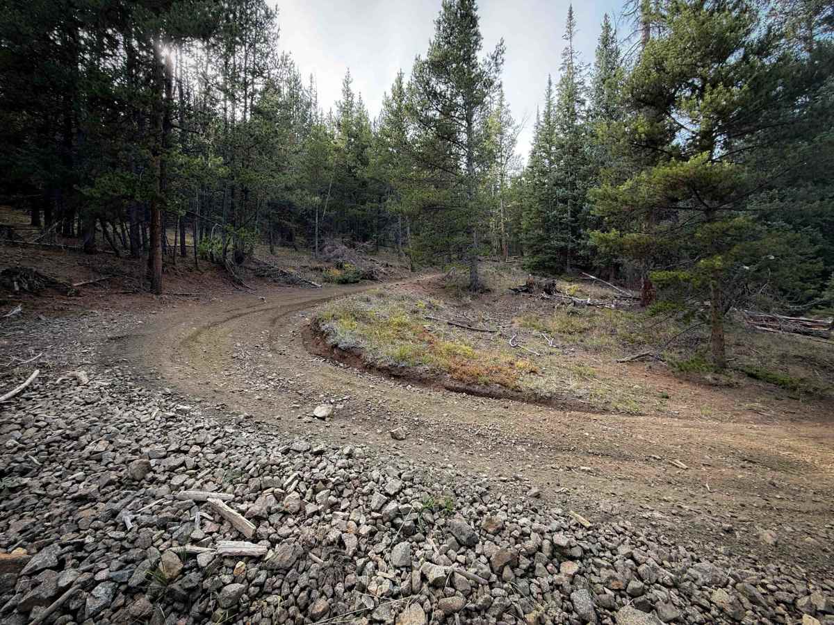
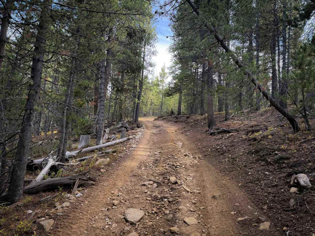
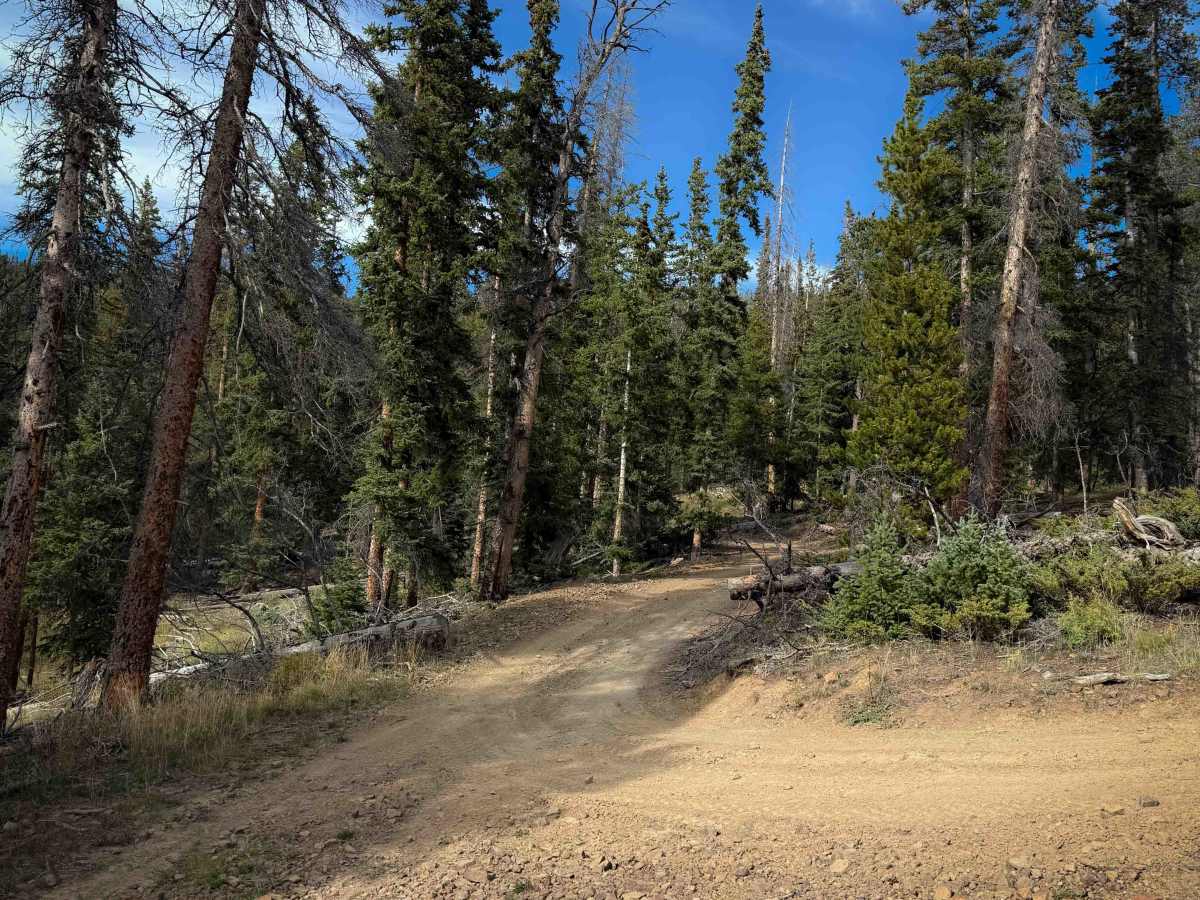
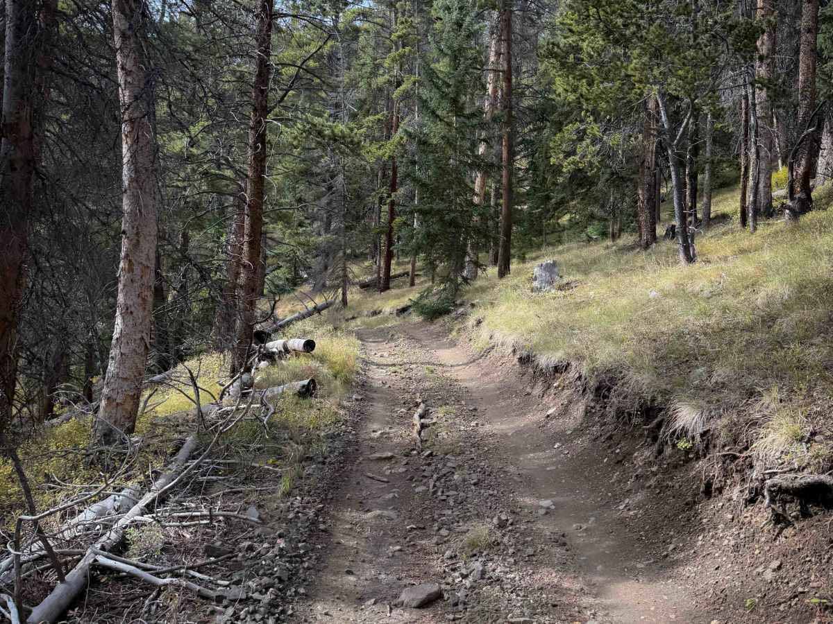
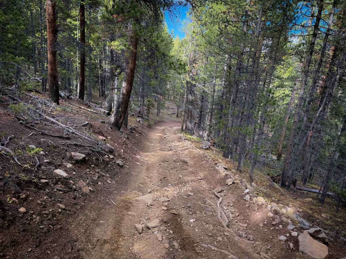
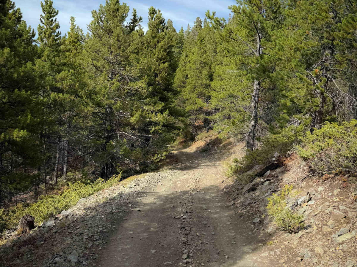
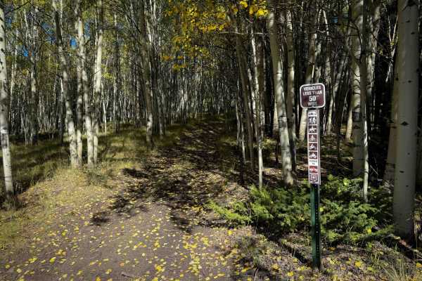
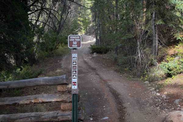
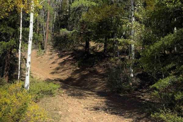
Trail 644 is an easy and winding ATV trail through the Gunnison National Forest south of Pitkin, Colorado. Although designated as a 50” trail on the MVUM, the trail signs lacked any width designation, so you may see wider vehicles on this trail unintentionally. There are a lot of unmarked roads out here that aren’t on the map, so an offline GPS track is very helpful to follow the route. The trail is wide, like a single-lane shelf road cut into the mountainside. It is mostly smooth, with small loose rocks, roots, and sweeping corners. It does not have any major obstacles and is ideal for less experienced riders. It goes through a forest of lodgepole pine at about 11,000 feet elevation, so expect typical high-elevation challenges such as changing weather conditions and downed logs in early season.
Difficulty
This trail is easy, as it is mostly smooth and gradual, with no big obstacles. It has minor rocks and roots, and sweeping hairpin corners. It is a shelf road with mild exposure.