Trail Overview
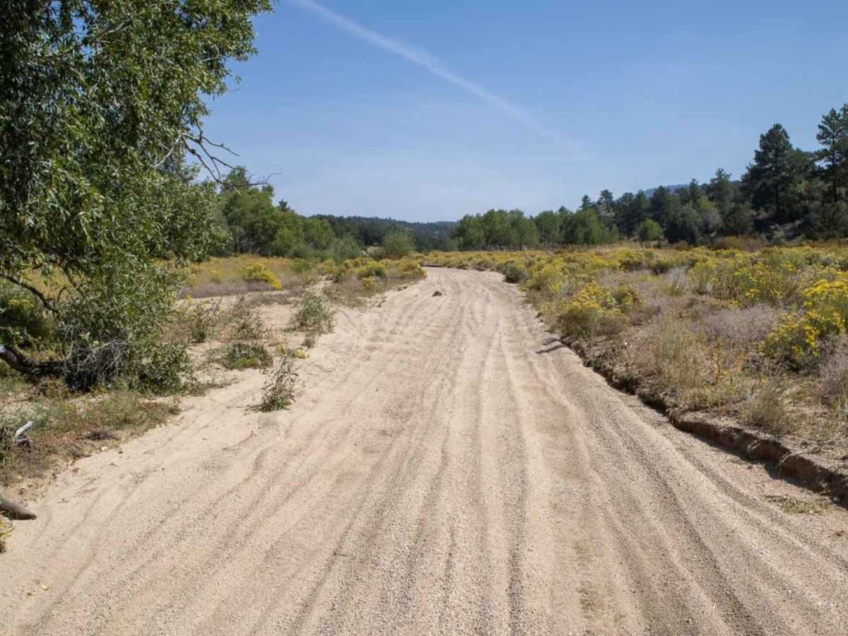
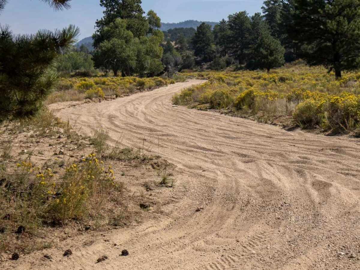
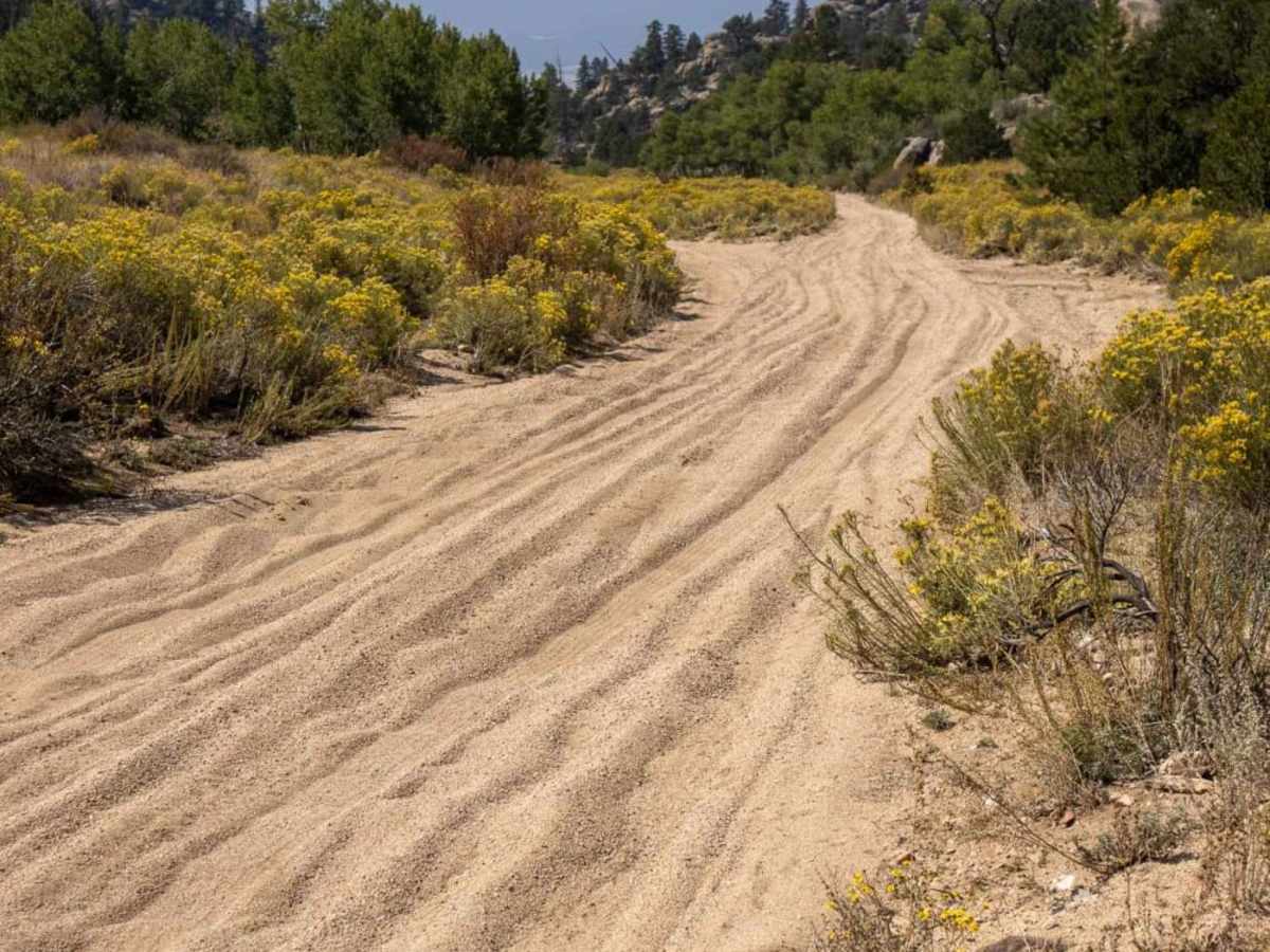
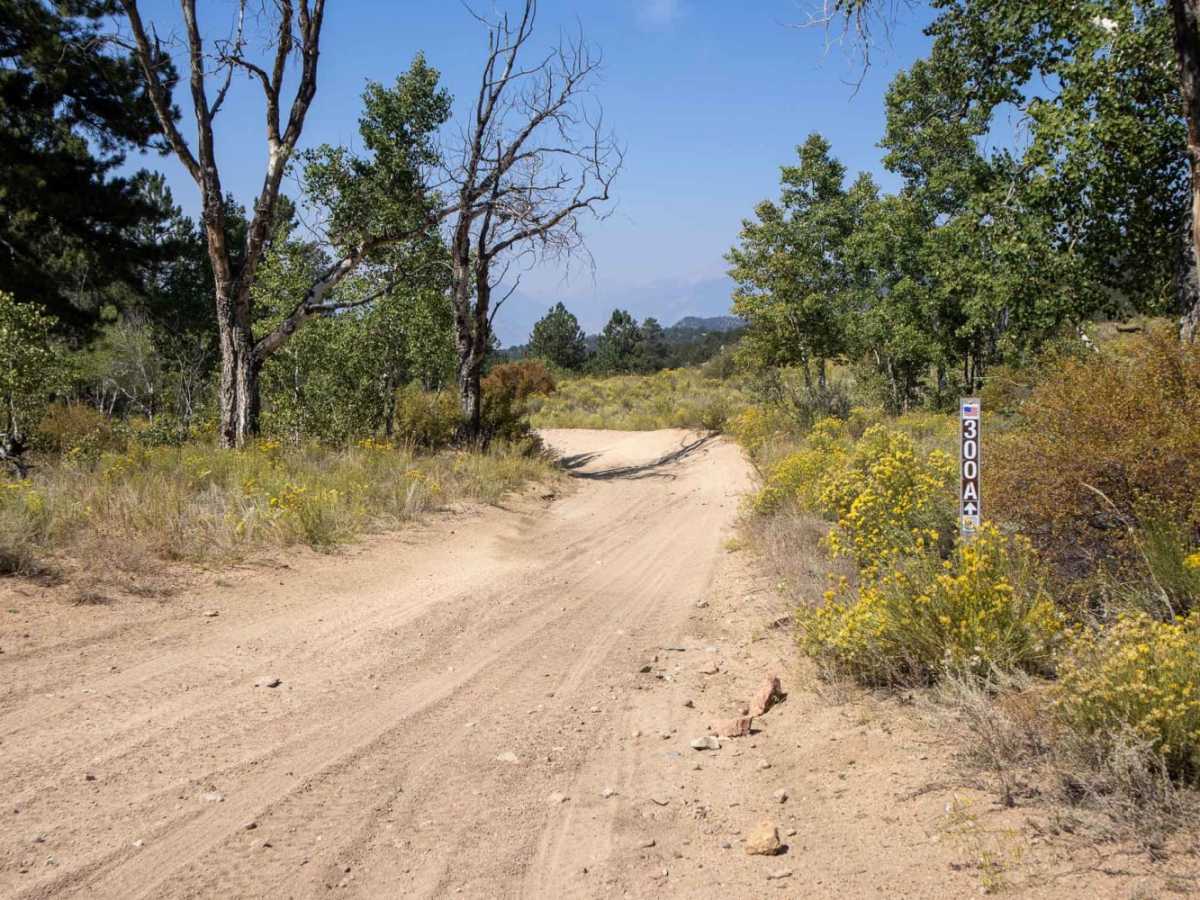
Arnold Gulch is an easy, two-mile connector route ideal for beginners and those looking to link up different motorized networks in Chaffee County. The trail runs for 1.8 miles, ascending 391 feet from a starting elevation of 8,461 feet to a maximum of 8,853 feet. The surface is composed entirely of loose, sandy washes with continuous, deep washboards that create a bumpy ride. This road connects the Triad Ridge trails to the primary forest road, providing a direct transition point for longer rides in the region.
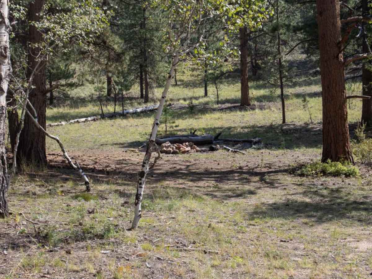
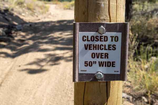
A high-clearance four-wheel-drive vehicle, SxS, or ATV is recommended to comfortably handle the sandy terrain, though the overall technical difficulty remains low. There are one or two small dispersed camping spots with established fire rings located along the side of the trail. The western boundary of the route ends near private property, so staying on the designated trail is required. The trail is typically open from late spring through fall, depending on seasonal snow levels.