Trail Overview
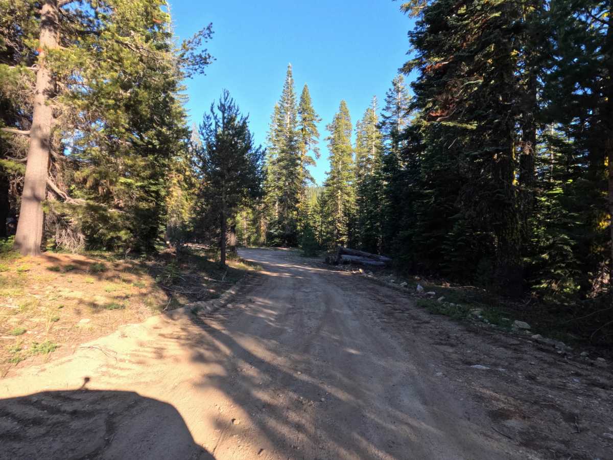
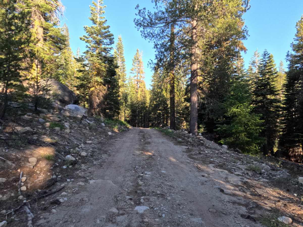
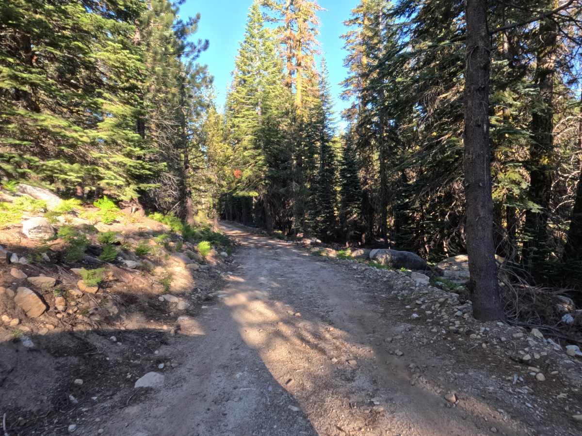
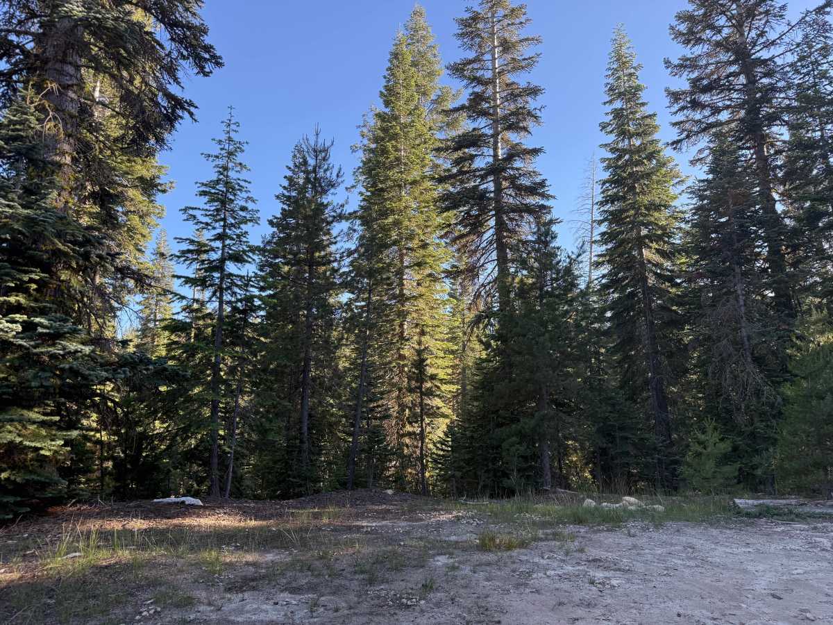
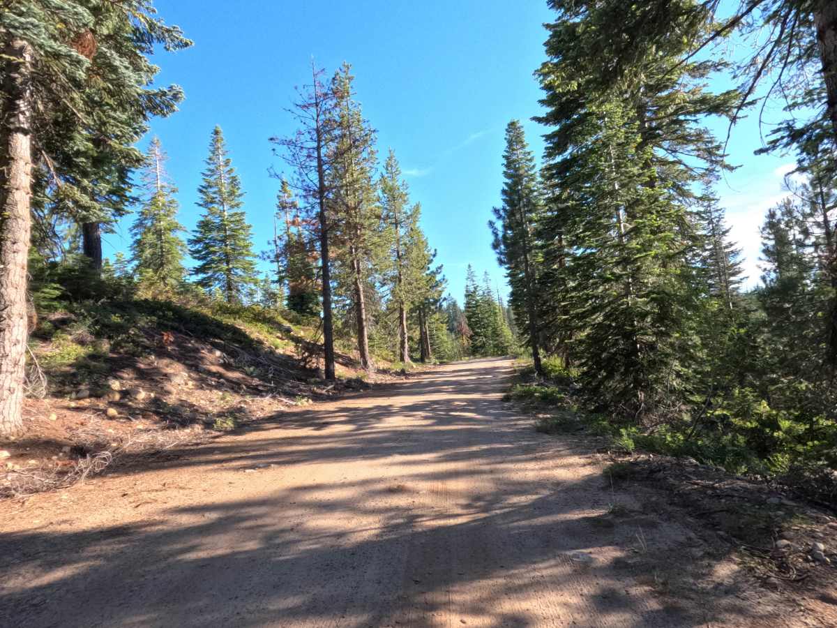
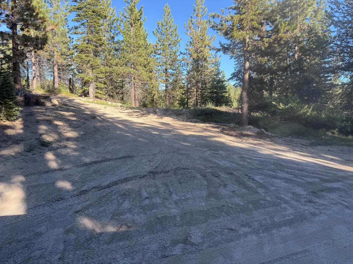
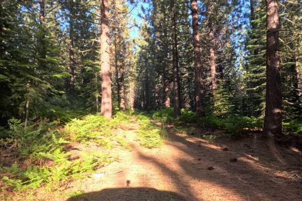
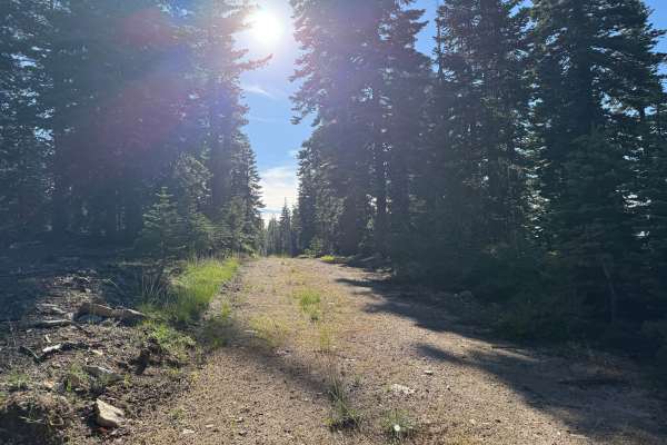
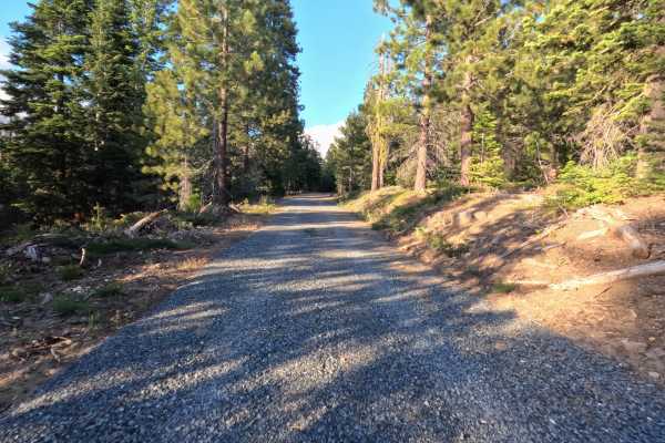
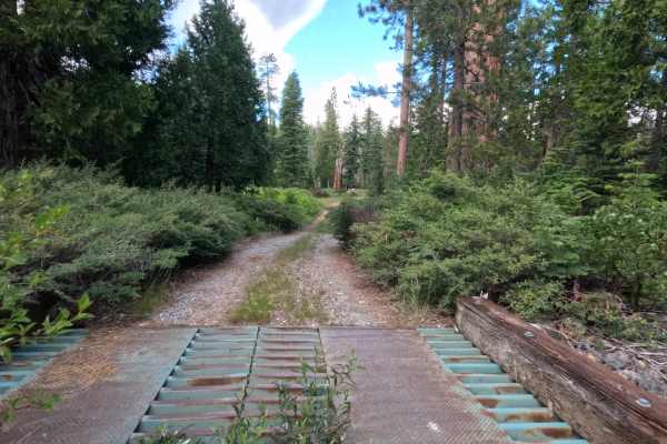
Windmiller Tie - FS 12N25 is a 2.3-mile trail that begins as asphalt right from the turnoff of Windmiller East. However, it quickly breaks up into a single-lane road of hard-packed dirt mixed with some rock. The route features a steep downhill section with evident water erosion, though the Forest Service has repaired these spots by filling them with rocks. There are drainage swales along the road edges, creating gentle dips and indicating active maintenance by the Forest Service or logging interests. Near the intersection with the spur, you will encounter a longer rocky and rough section that remains doable without significant ground clearance. Just past a logging area, there is a dispersed campsite on the right, after which the road becomes more rutted and bumpier for the remainder of the journey. The trail closely follows the South Fork Silver Creek and ultimately ends in a dense, tree-covered area featuring a final dispersed campsite. Although digital maps suggest the road should veer and continue, no additional access points are visible on the ground. It is primarily used by campers, though logging trucks also utilize it for access to Windmiller South.
Difficulty
The first half of the trail earns a Level 2 rating, featuring mostly hard-packed dirt, repaired erosion spots, and gentle drainage swales. The back half elevates to a Level 3, as the road becomes noticeably more rutted and bumpier past the logging area and first campsite. There is also a longer rocky section near the spur intersection, though extreme clearance is not strictly necessary.