Trail Overview
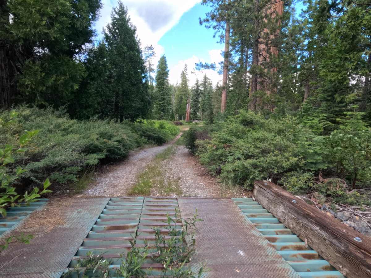
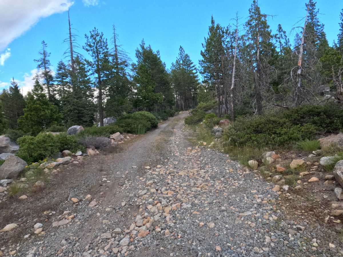
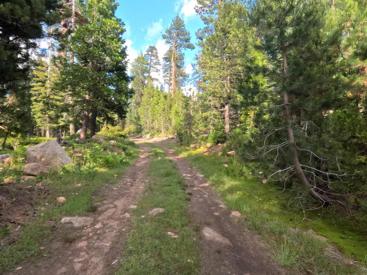
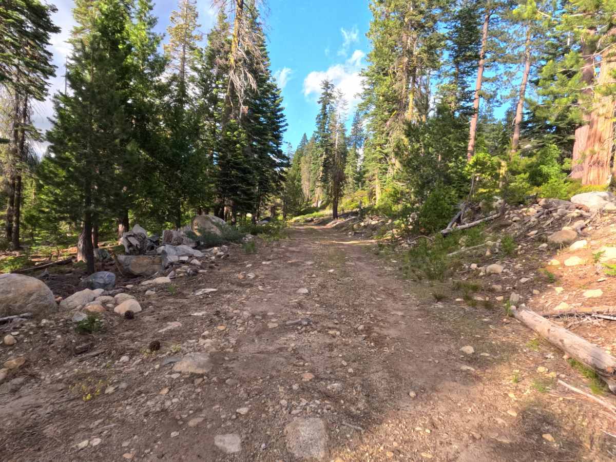
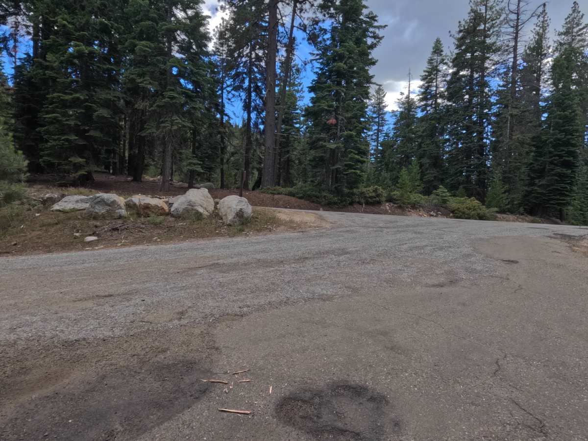
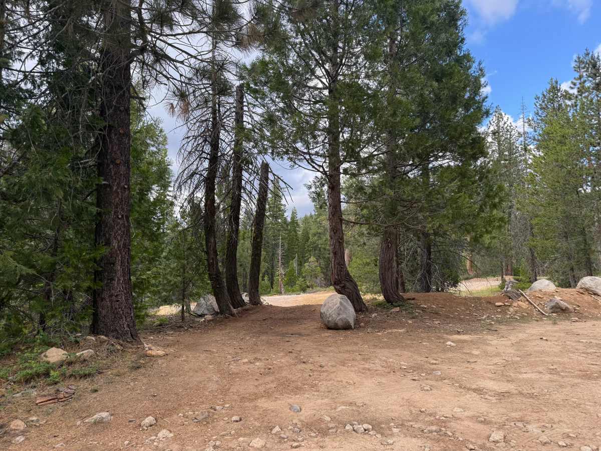
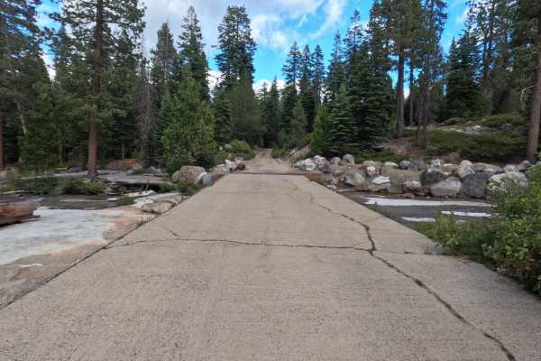
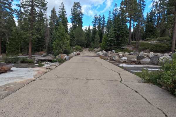
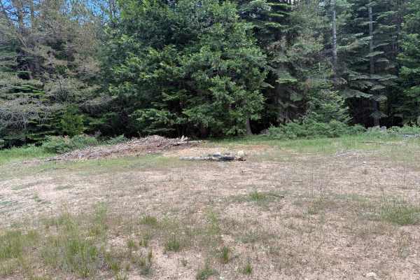
Table Rock Spur - FS 11N37B is a 2.7-mile hard-packed, single-lane dirt road that starts off a little bumpy from the get-go with embedded rocks and tree branch obstacles. About a quarter mile in, the trail becomes much narrower and noticeably overgrown; drivers of wider rigs should beware. There are signs of rutting throughout, including a couple of sections with deeper rutting and mud. The road opens up periodically (such as above the creek), making it easy to pass or park. Just past the heavier foliage where the road widens, there is a pullout (marked as a tiny spur on the map) leading to a large dispersed campsite on the rock. Just past this point there is another campsite tucked into the trees on your left. Several other pullout areas follow, some spacious enough for a passenger vehicle or Sprinter van to disperse camp. As you continue toward the dead end, the road narrows and gets rocky. While nothing requires high clearance except the mud section, it remains rocky and bumpy, especially near the third dispersed campsite and just before an open gate. After the gate, there is a simple, narrow bridge with no side walls over the creek. The final stretch past the bridge is more overgrown and muddy, featuring overhanging branches that pose a scraping risk from above. The route is primarily used by campers and fishermen.
Difficulty
The trail earns a Level 3 rating due to sections of deeper rutting and mud that will test clearance. Additionally, the route becomes rocky near the end. A major hazard to consider is the dense overgrowth and overhanging branches—starting a quarter-mile in and returning past the bridge- which pose a significant scratching risk for wider or taller vehicles.

 Offroad