Frisco - FS 12N99

Total Miles0.3
Technical Rating
1Easy
Best TimeSummer, Fall
Trail TypeFull-Width Road
Accessible By
Open Trail Map

Trail Overview

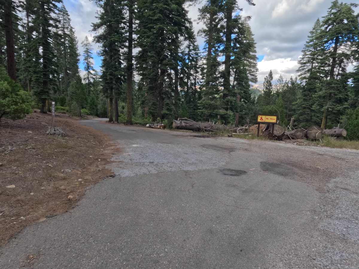
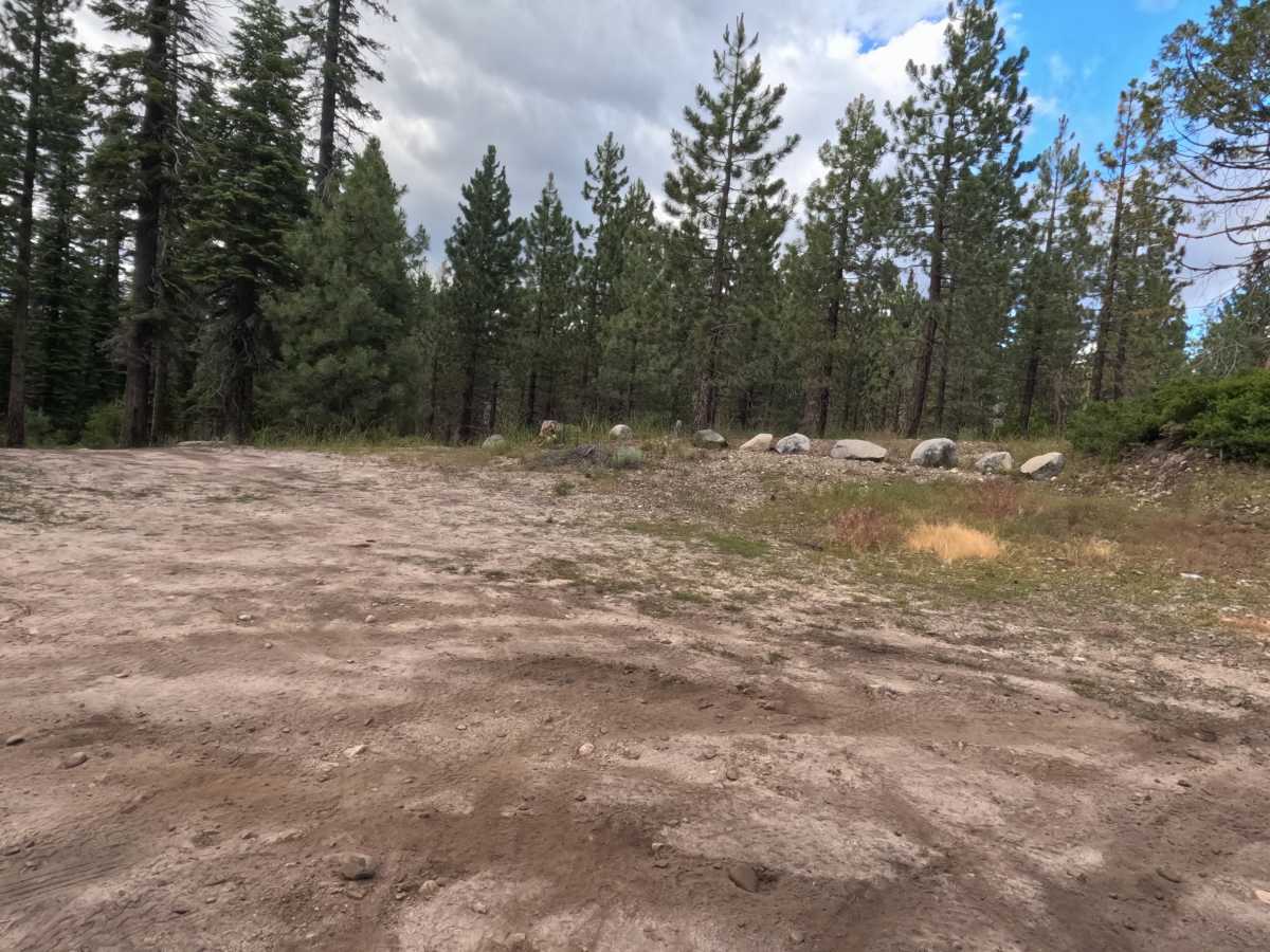
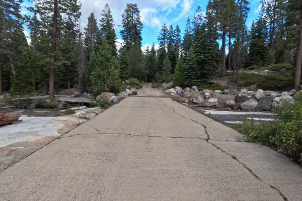
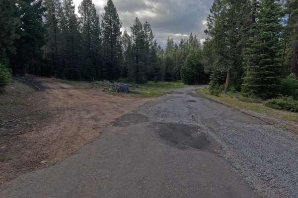
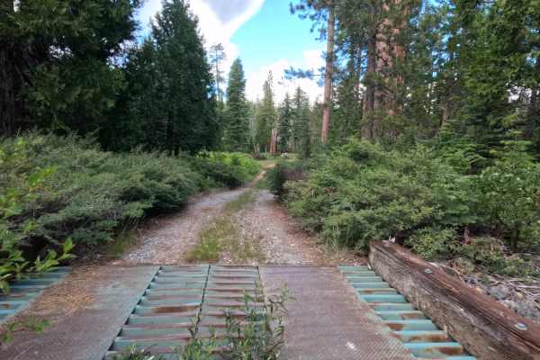
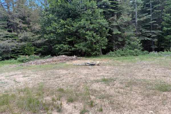
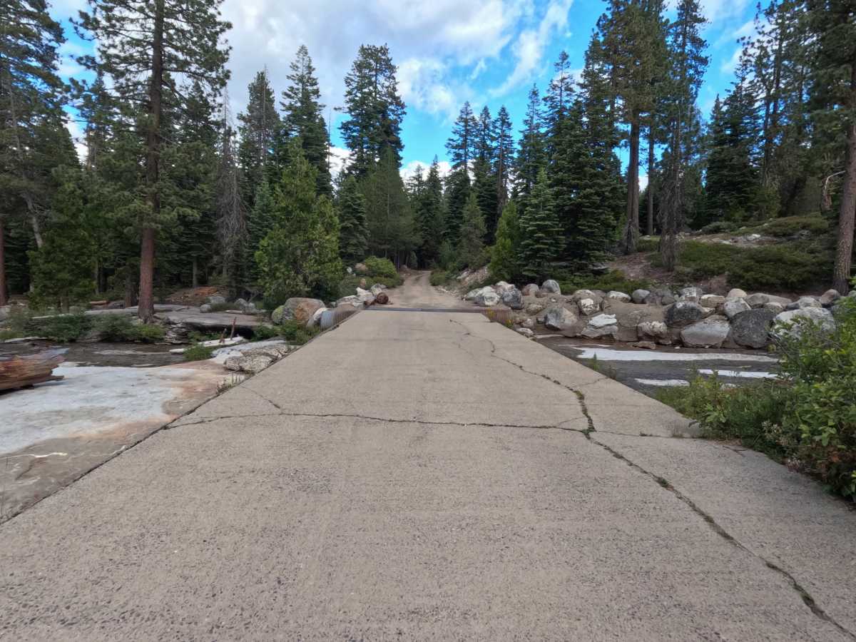
Frisco - FS 12N99 begins as an asphalt road turning off from Wright's Lake Road 11N37 and continues all the way to a bridge over Jones Fork Silver Creek. Note that this bridge has no side walls. Immediately after crossing the bridge, the asphalt breaks apart and transitions into a hard-packed, single-lane dirt road. After approximately 100 feet, the road forks; Frisco Road and Windy Frisco Road share this initial access, and you must take the left fork to stay on Frisco Road. Less than a quarter mile back (250 yards from the fork, dropping from 5,801 ft to 5,787 ft in elevation), the trail opens up into a large campsite featuring an old fire pit. Active vehicle access beyond the campsite is essentially gone. There are signs that vehicles have parked downhill in the shade of the trees, but no maintained road continues to the creek. The route is primarily used by campers and fishermen.

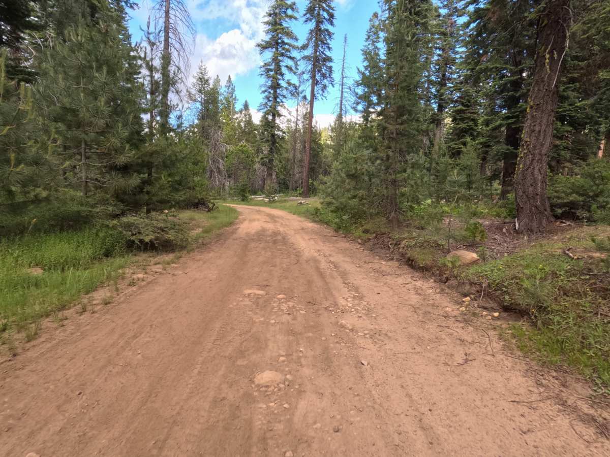
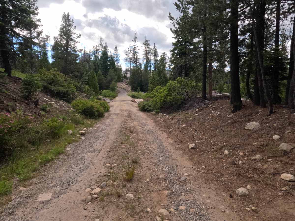
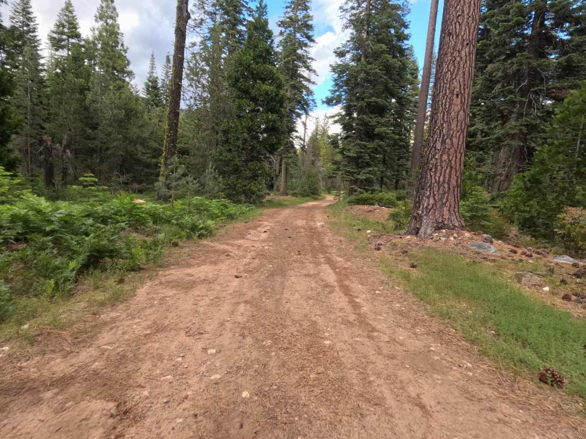
Photos of Frisco - FS 12N99

Difficulty

The trail earns a Level 1 rating as it is a smooth, hard-packed dirt road with no overgrowth. It is easily accessible for average passenger cars as well as larger RVs or wide rigs, and it features a wide turnaround at the campsite.

Technical Rating

1

Frisco - FS 12N99 Trail can be accessed by the following ride types:

  • Single Track
  • 50 Inch
  • 60 Inch
  • High Clearance
  • Full Width

Frisco - FS 12N99 Map

The onX Offroad Difference

onX Offroad combines trail photos, descriptions, difficulty ratings, width restrictions, seasonality, and more in a user-friendly interface. Available on all devices, with offline access and full compatibility with CarPlay and Android Auto. Discover what you're missing today!

Open Trail Map