Trail Overview
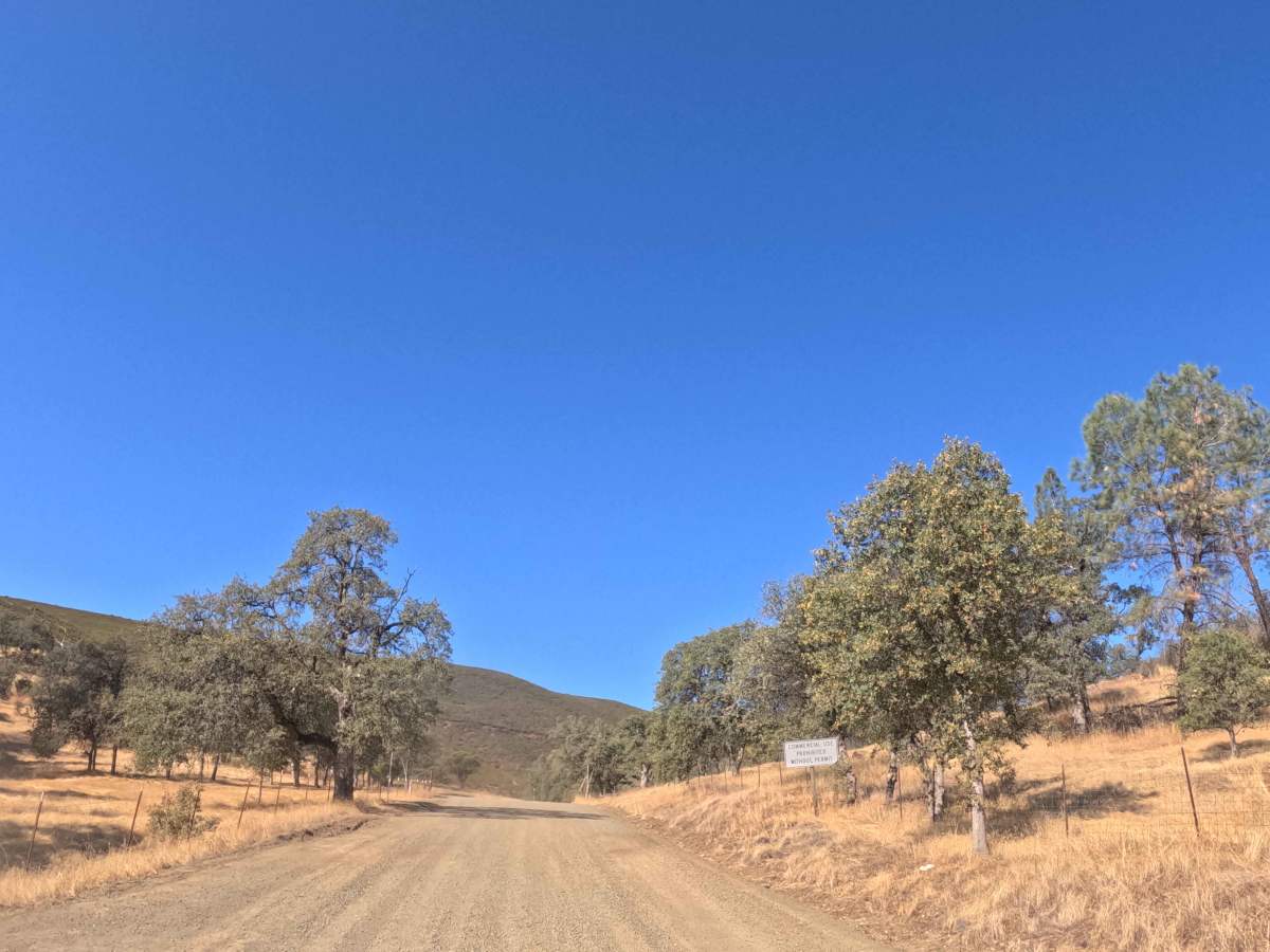
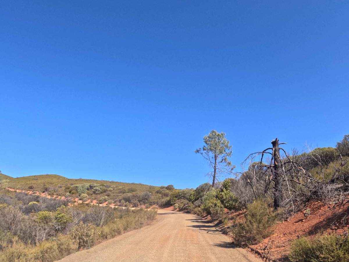
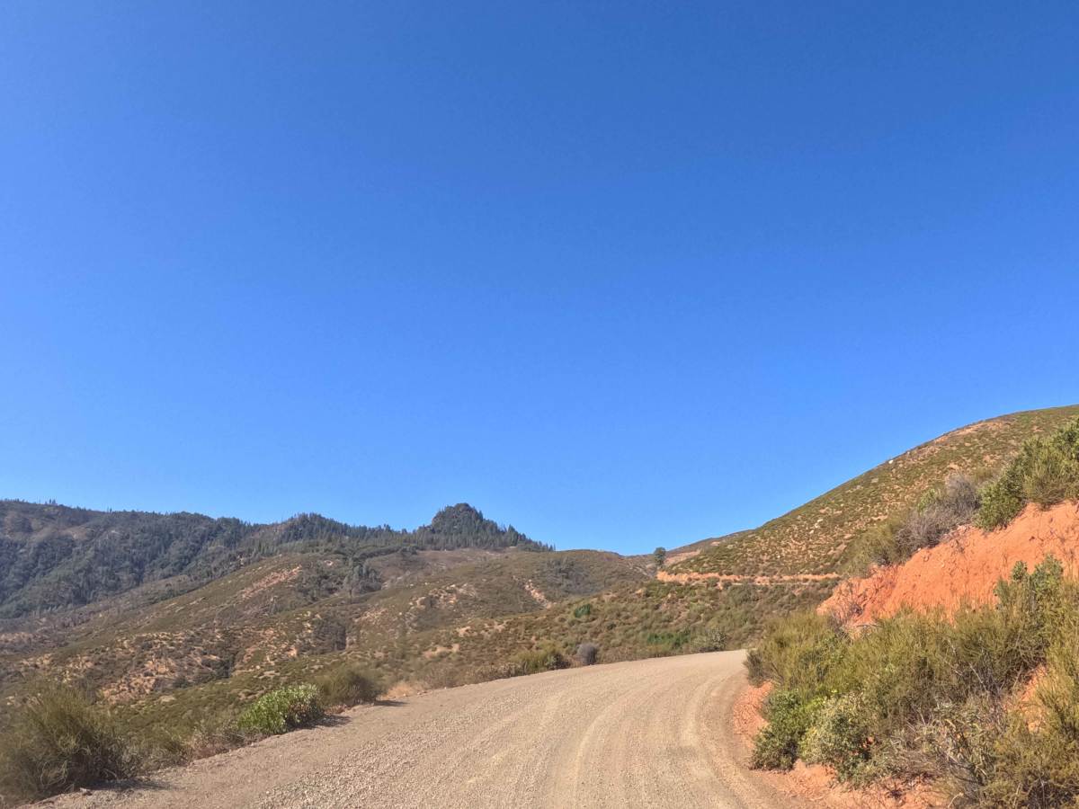
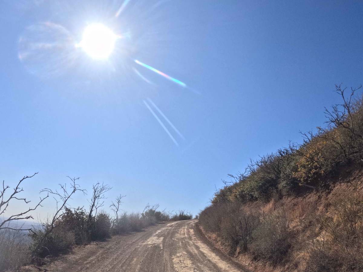
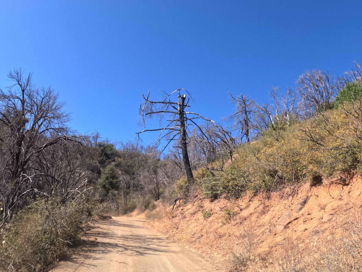
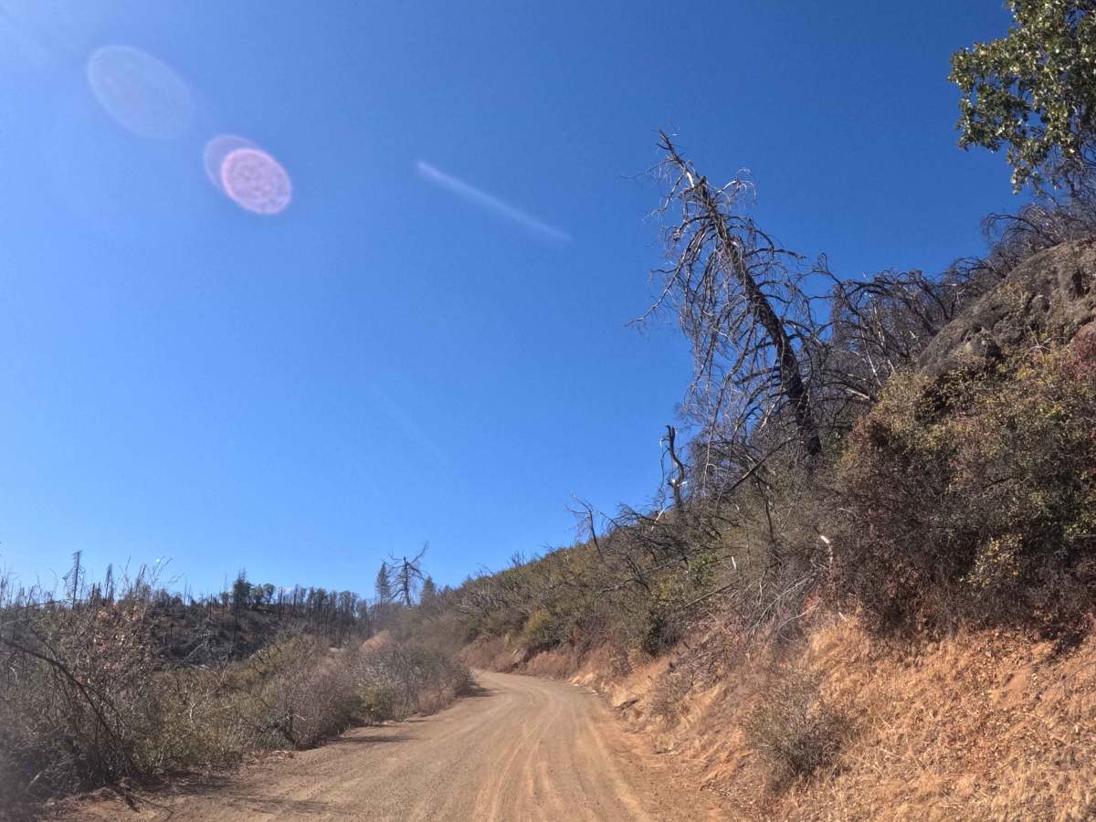
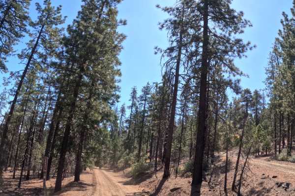
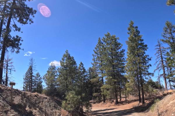
Branching away from paved Highway 36, Tedoc Gap North (FS 29N45) serves as a heavily utilized, point-to-point backbone connector that drives deep into the wilderness before terminating at a four-way trail junction near the base of Tedoc Mountain. Managed by the Shasta-Trinity National Forest, the route transitions from sprawling oak savannas and grassy chaparral into a rugged pine landscape showing the recovering, fire-scarred remnants of the 2021 McFarland Fire. After initially crossing through brief sections of private property, the corridor opens up to provide vital access to numerous alternative trailheads and secluded dispersed campsites. The driving surface consists of a relatively smooth, single-track gravel and dirt road holding an easy Grade 1 difficulty rating. As the route steadily climbs the hillsides with up to a ten-percent grade variation, travelers will navigate scenic, elevated shelf-road segments passing fascinating rock outcrops.
Difficulty
This extended dirt and gravel backbone route provides a consistently smooth and forgiving transit from start to finish. Severe off-road hazards such as deep mud trenches, technical rock crawls, or impassable washouts are completely absent. The primary driving considerations involve managing steady momentum up the ten-percent elevation climbs and maintaining situational awareness for oncoming traffic along the exposed shelf-road sections. Because the trail corridor is cleanly maintained, there is no risk of encroaching brush or annoying foliage rub. Standard factory ground clearance is entirely sufficient to confidently and comfortably complete this highly scenic forest drive under normal, dry seasonal conditions.

 Offroad