Trail Overview
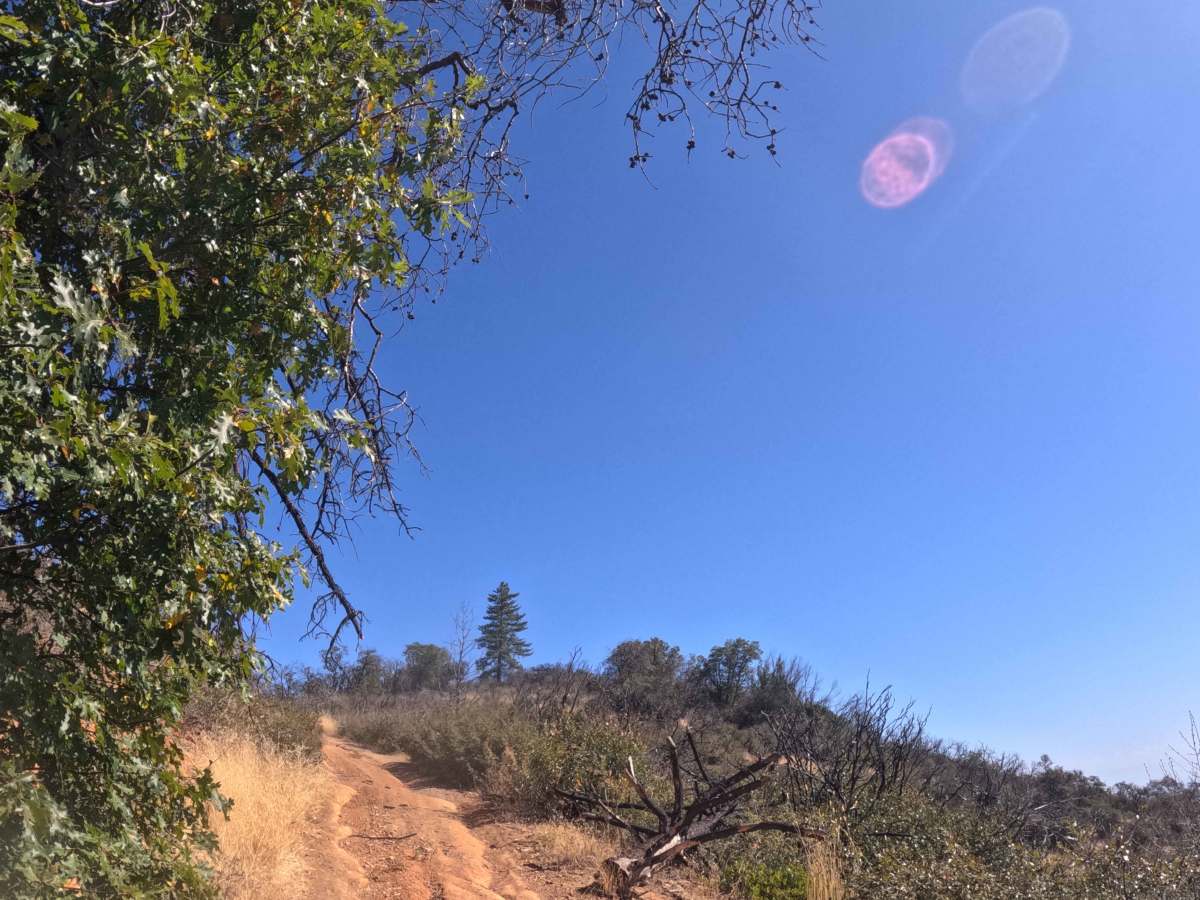
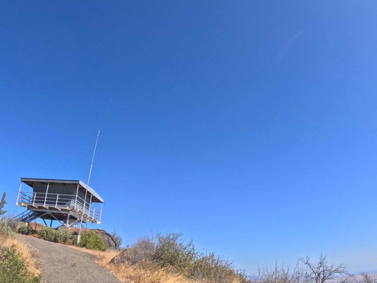
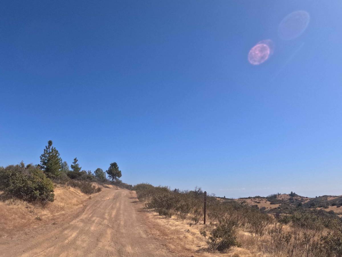
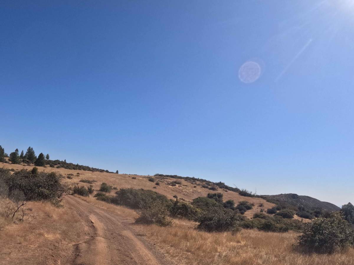
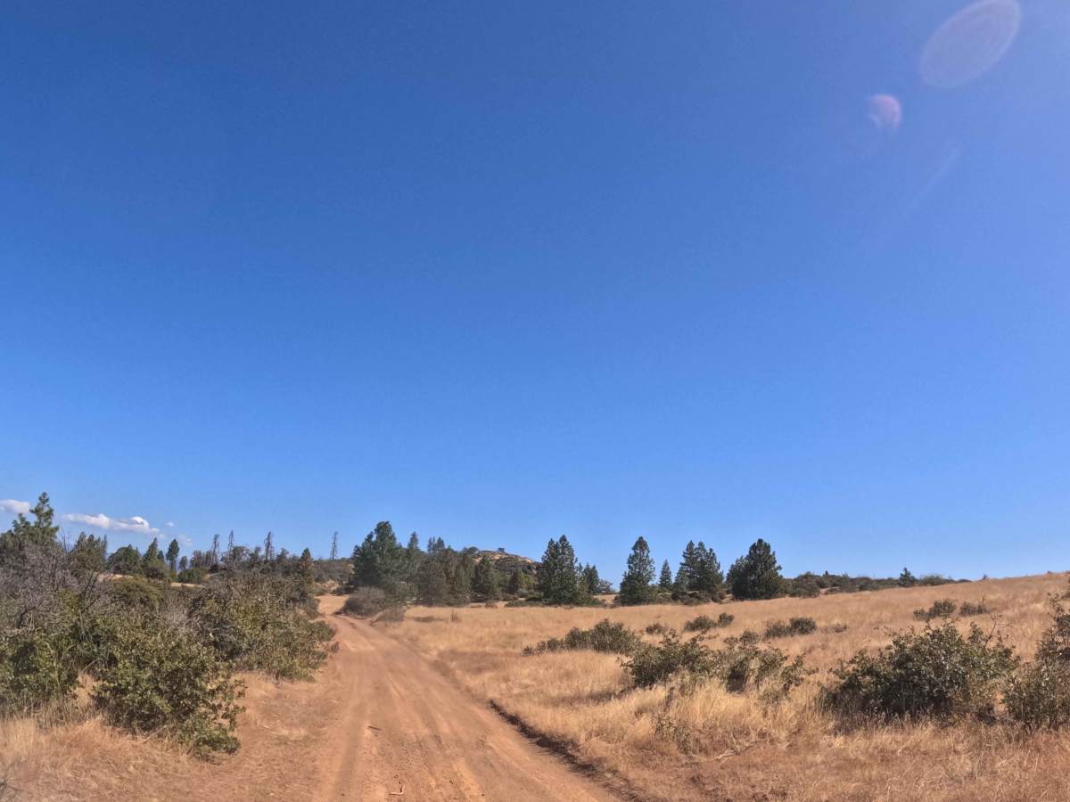
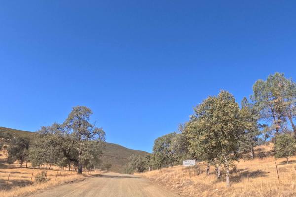
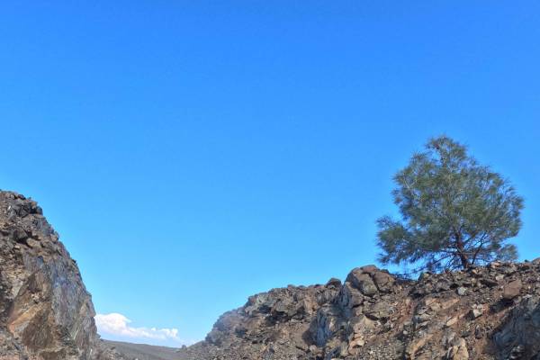
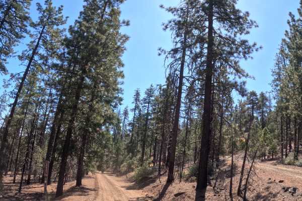
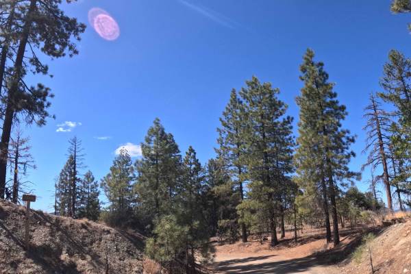
Branching east from the primary FS 29N45 transit corridor, Pattymocus Lookout (FS 28N01) serves as a brief, out-and-back mountain spur located within the Shasta-Trinity National Forest. The pathway carves through a diverse landscape, transitioning from sweeping grassy savannas and dense chaparral brush into scattered, rugged pine stands as it approaches the rocky summit. Sightseers, photographers, and backcountry explorers utilize this secluded, dead-end track specifically to access the commanding, panoramic vantage points offered at the Pattymocus Fire Lookout. Because the route ends directly at the tower facility, drivers should anticipate limited turnaround space at the peak. The driving surface consists of a narrow, single-track gravel and dirt path holding a moderate Grade 2 difficulty rating. Providing a beautiful but demanding climb above the valley floor, this scenic spur delivers an exciting, steep drive leading to spectacular wilderness views.
Difficulty
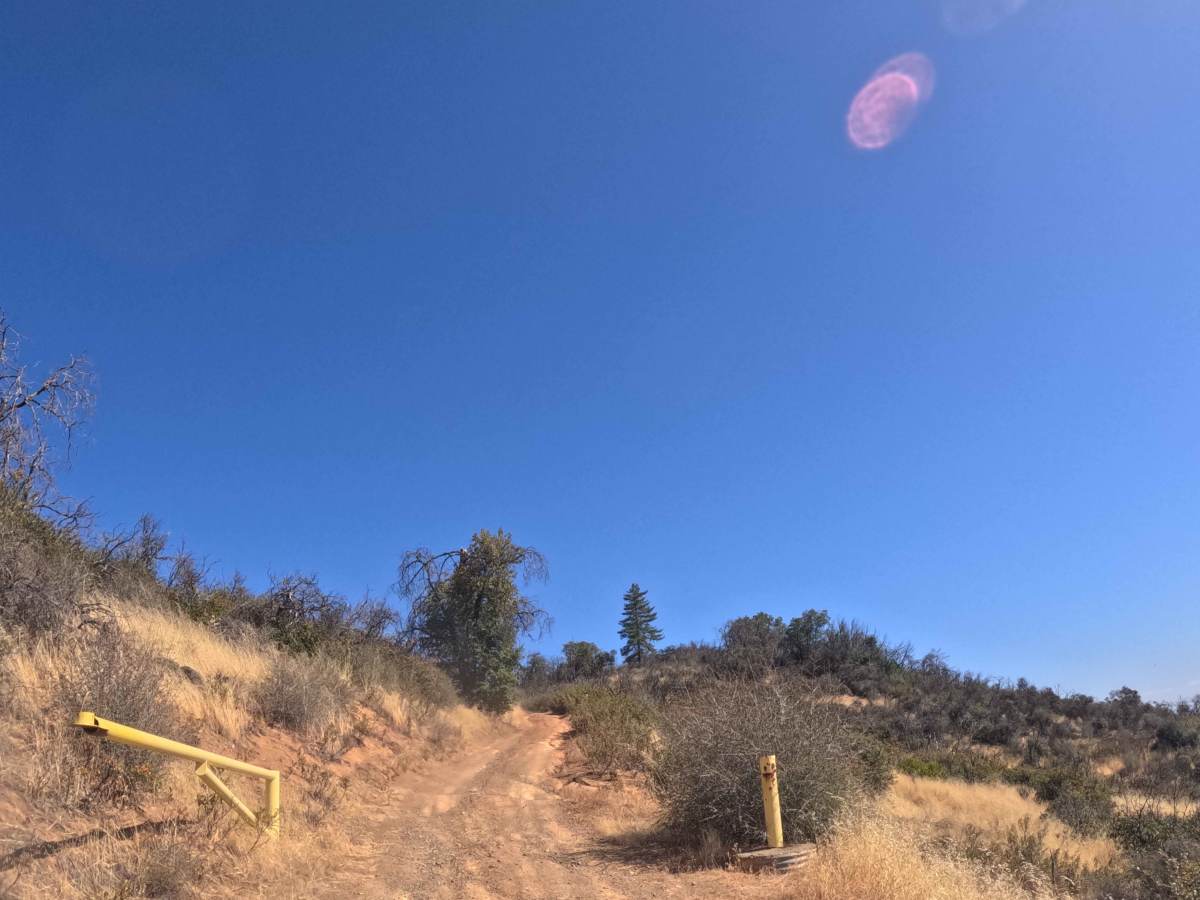
Carrying a moderate Grade 2 difficulty rating, this single-track gravel spur presents notable elevation challenges and localized surface deterioration. While the majority of the route maintains a steady ten-percent climb, the final stretch pushing toward the lookout tower features a demanding twenty-percent grade variation. Along this steep ascent, drivers must navigate several pronounced drainage ruts carved deeply into the dirt track. These washouts require careful tire placement and steady, sustained momentum to prevent the vehicle's undercarriage from bottoming out or losing traction on the loose gravel. Furthermore, the narrow trail corridor severely limits passing opportunities, meaning operators must actively scan ahead for opposing downhill traffic before committing to the steepest sections of the climb. Standard factory ground clearance is generally adequate to safely conquer the ruts during dry, seasonal conditions, provided the vehicle can maintain reliable grip up the severe inclines.

 Offroad