Trail Overview
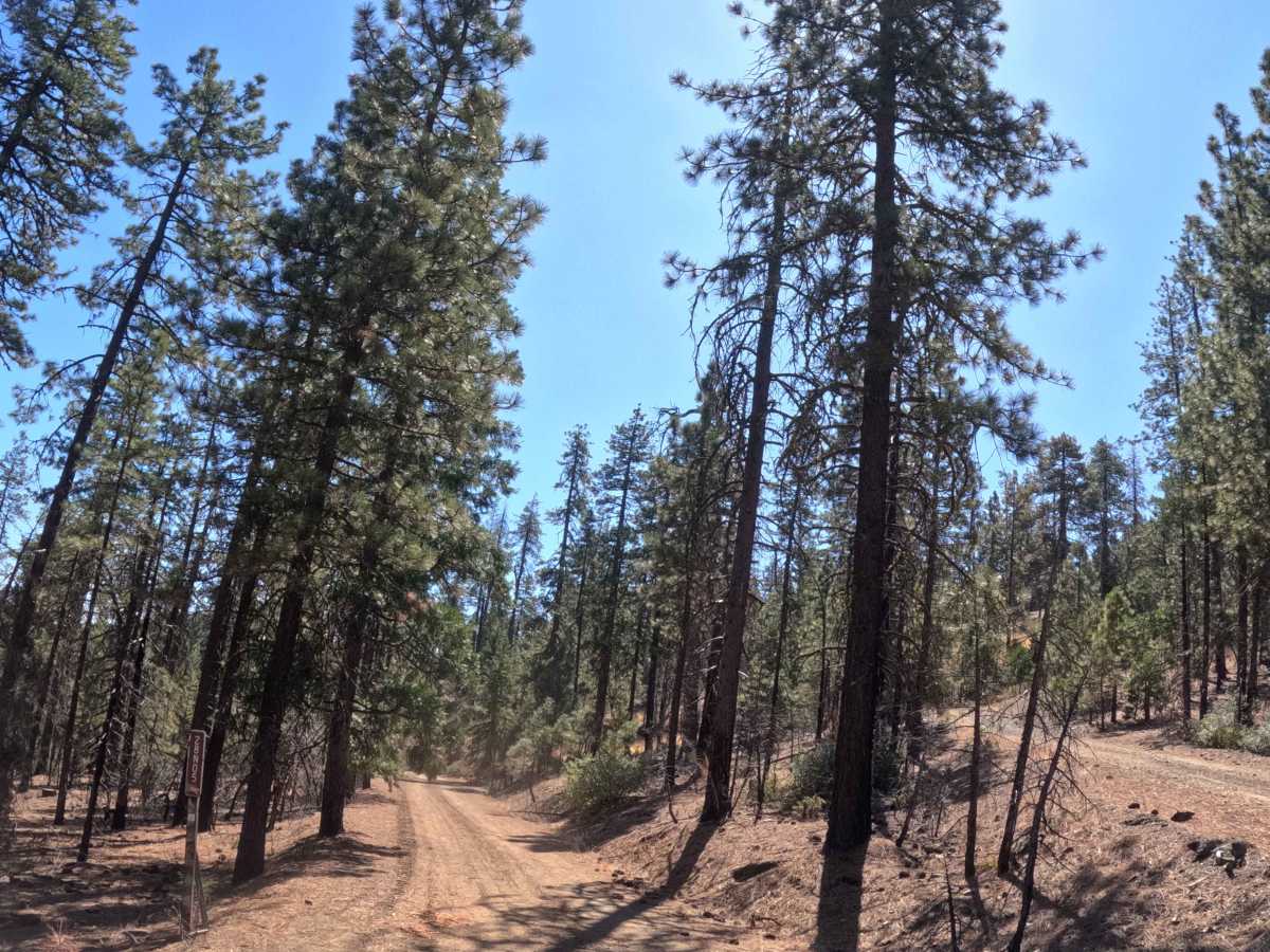
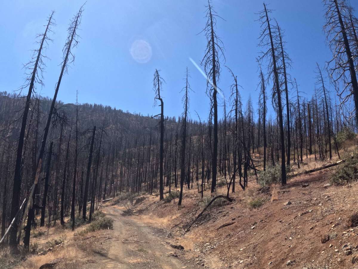
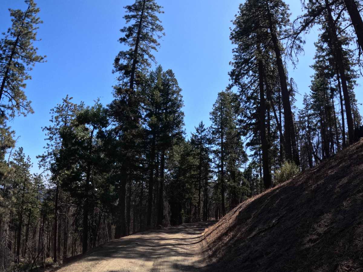
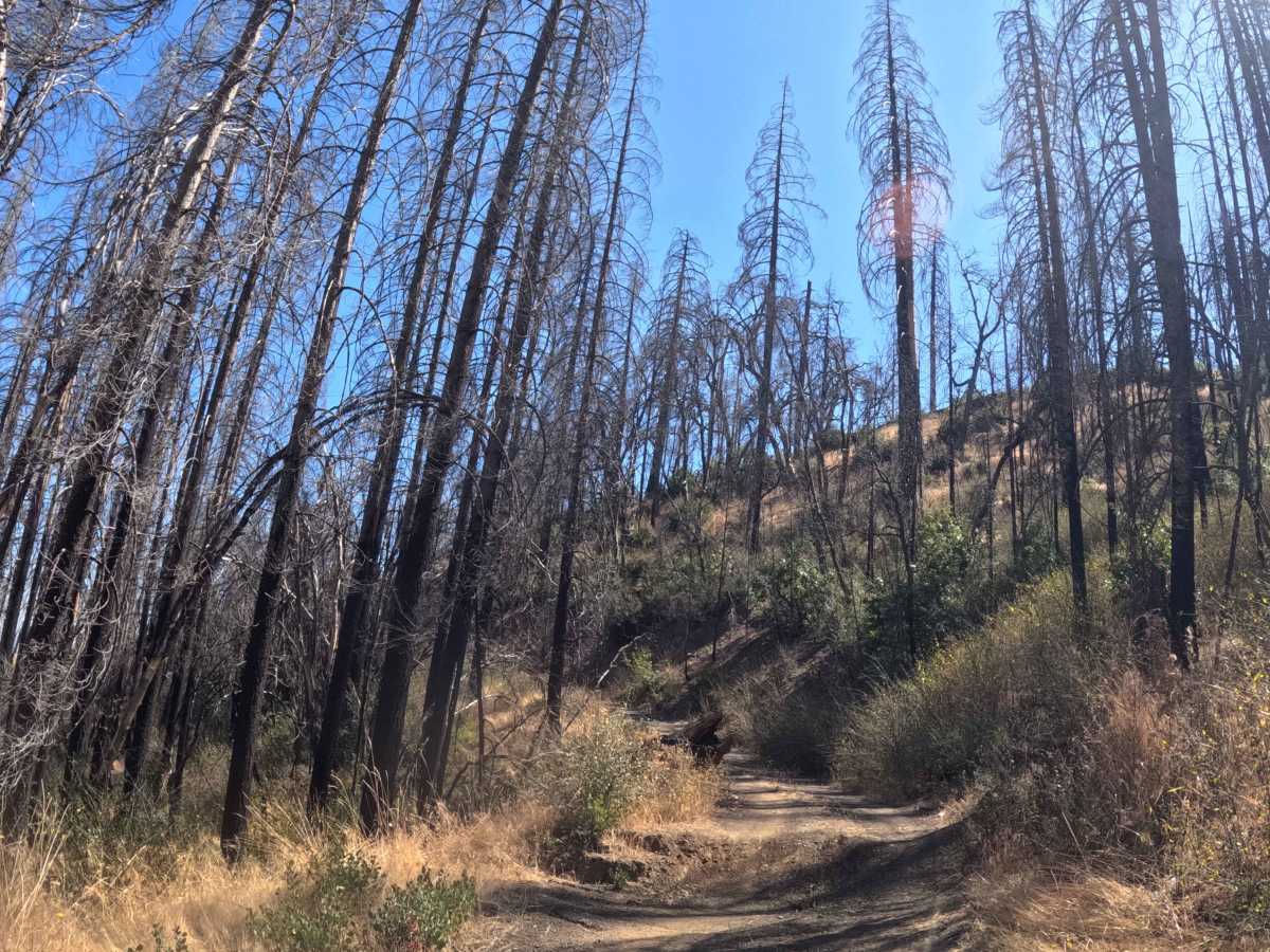
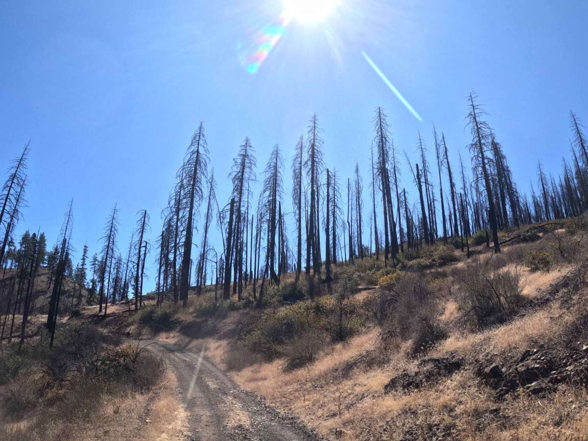
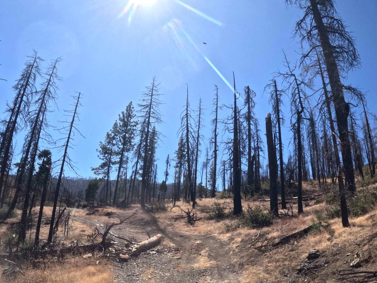
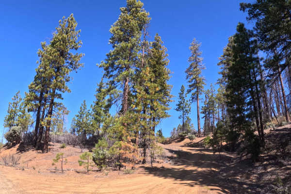
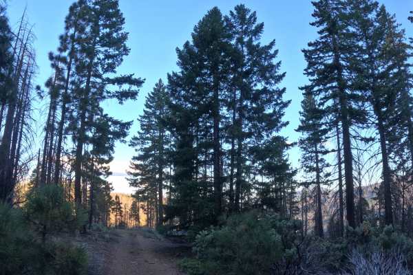
Forking east from the FS 27N13 junction at Tedoc Gap, Wells Creek Peak - South (FS 28N05) functions as a narrow, point-to-point transit route driving deeper into the wilderness. The trail descends southeast through the Shasta-Trinity National Forest, navigating a rugged landscape heavily marked by the 2021 McFarland Fire, where stark, burned timber stands above a rapidly regrowing green understory. Outdoor recreationists, hikers, and sightseers frequently utilize this single-track gravel pathway to access popular wilderness destinations, including the scenic Wells Creek Falls and the designated Wells Creek Peak hiking trail. Because this route delivers visitors directly to active hiking areas, drivers must remain vigilant for pedestrians sharing the tight corridor. The driving surface consists of a restricted, single-track gravel road holding a moderate Level 2 difficulty rating. Winding down the mountainside along exposed shelf-road segments, the journey eventually concludes at a distinct fork; here, a different trail continues to the left, while the primary path becomes completely impassable due to massive downed trees and severe brush overgrowth.
Difficulty
Carrying a moderate Level 2 difficulty rating, this single-track gravel corridor presents several spatial and terrain-based challenges. Extreme rock crawls and deep mud bogs are absent, but the trail forces drivers to negotiate a steady, fifteen-percent downhill grade heavily scarred by persistent drainage ruts. Conquering these undulating washouts requires careful tire placement and elevated ground clearance to prevent bottoming out the vehicle's undercarriage. Furthermore, the pathway is exceptionally tight and flanked by aggressive vegetation, guaranteeing moderate to heavy foliage rub against the exterior. Due to the severe lack of passing room, the persistent brush contact, and the tight, exposed shelf-road sections, wide, full-size rigs and vehicles towing trailers should completely avoid this route. Maintaining a slow, controlled descent will allow standard high-clearance vehicles to safely navigate the ruts and reach the trailheads under dry conditions.

 Offroad