Trail Overview
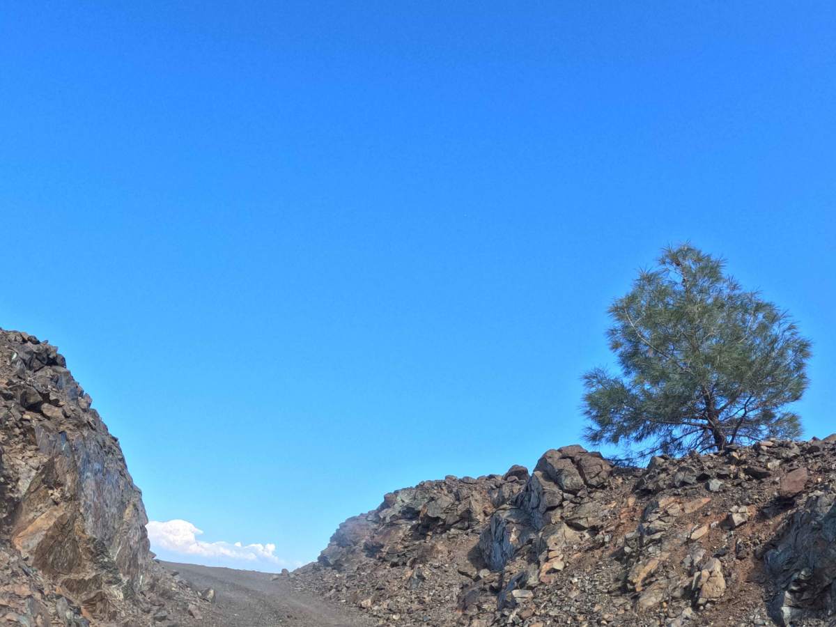
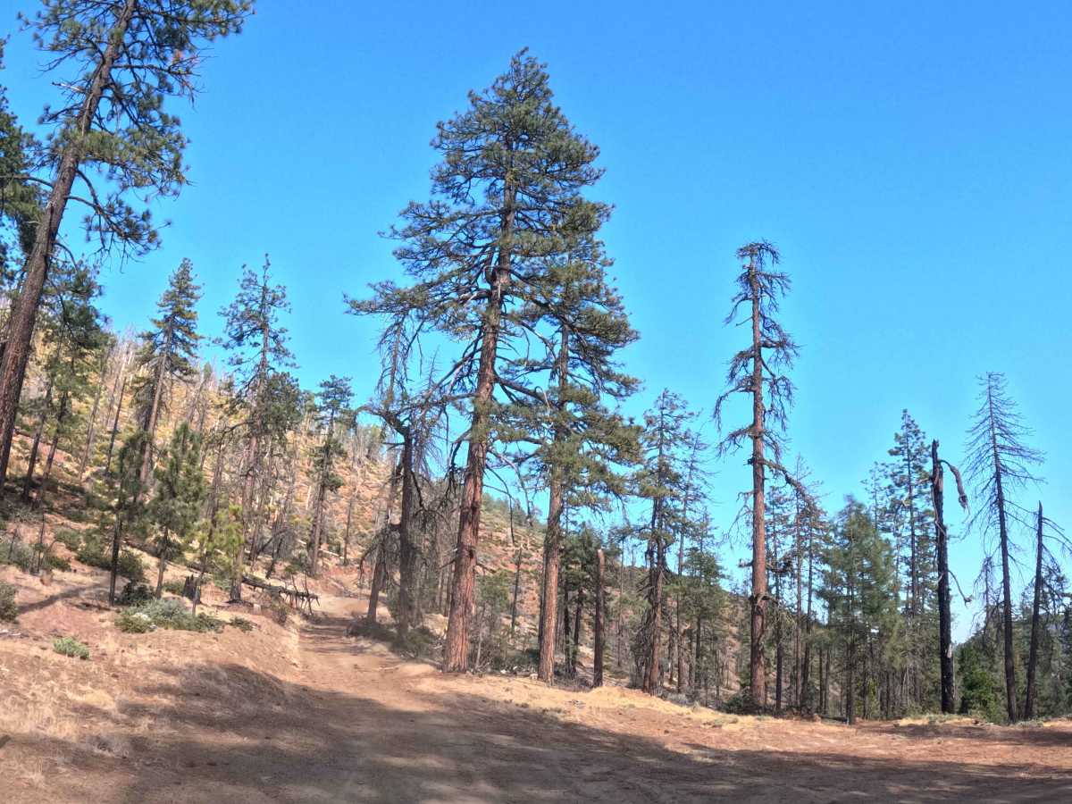
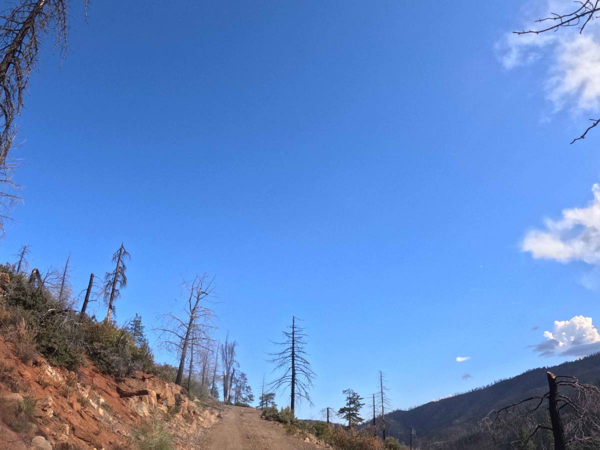
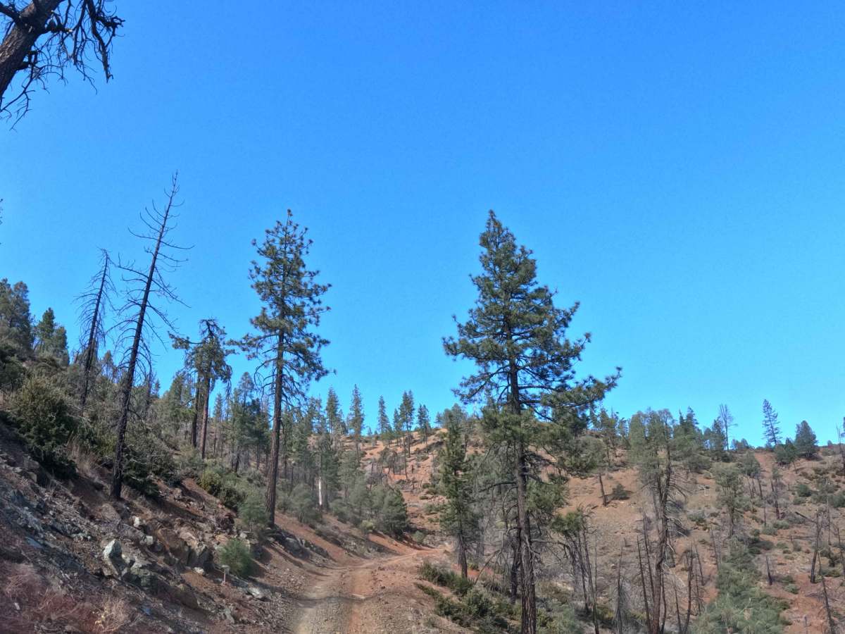
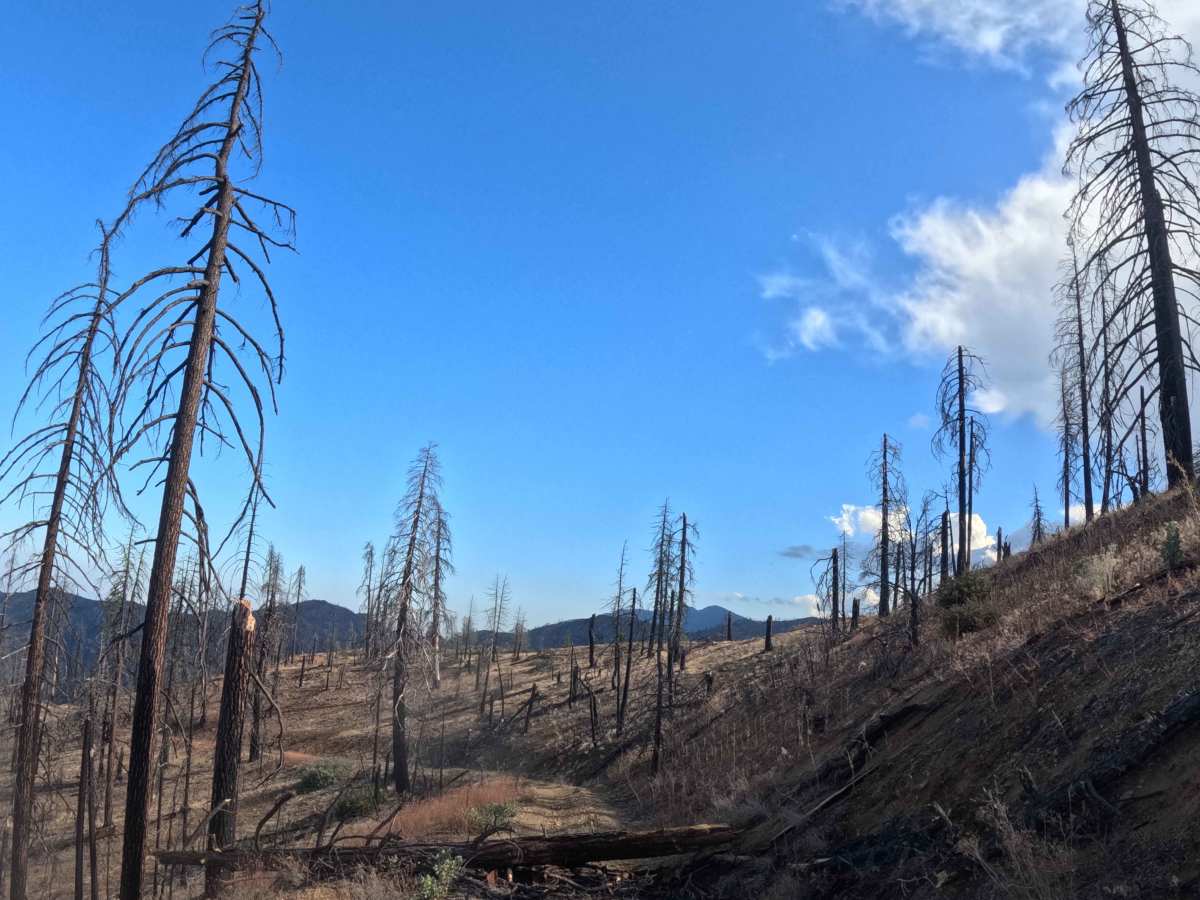
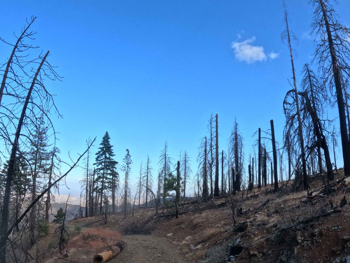
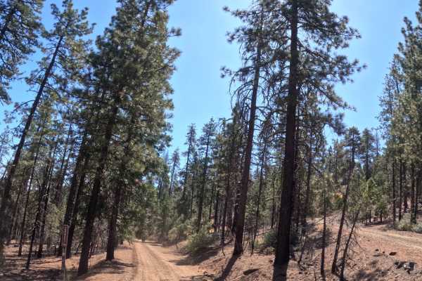
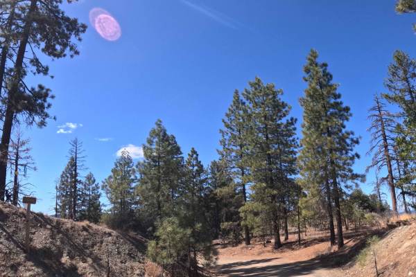
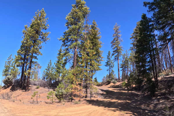
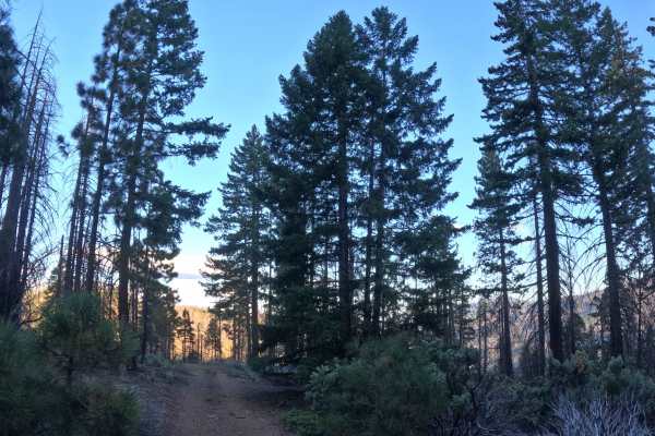
Branching eastward from the primary trail junction at Tedoc Gap (FS 29N45), Wells Creek Peak North (FS 28N05) functions as an incredibly scenic, point-to-point connector that traverses the elevated ridges of Tedoc Mountain. The lengthy corridor weaves through a dynamic landscape within the Trinity National Forest and adjacent BLM lands, showcasing a stark transition between healthy, pine-heavy woodlands and dramatic, regrowing hillsides actively recovering from the 2021 McFarland Fire. Backcountry explorers and campers frequently utilize this winding route to access several secluded dispersed campsites and take advantage of the sweeping, panoramic valley views offered along the elevated ridgeline. While a brief segment crosses through an open section of private property, the path primarily hugs the public mountainside before eventually looping back to reconnect with the main Tedoc Gap thoroughfare. The driving surface consists of a narrow, single-track dirt and gravel shelf-road holding a moderate Level 2 difficulty rating. Providing a visually striking journey high above the valley floor, this mountain track delivers an engaging and memorable overland experience.
Difficulty
Earning a moderate Level 2 difficulty rating, this single-track gravel connector introduces a series of engaging terrain challenges that demand careful navigation. Deep mud bogs and severe rock crawls are absent, but operators must consistently manage steep, fifteen-percent grade variations as the road climbs and descends the mountain contours. The primary surface hazards consist of persistent earthen ruts and medium-sized rocks firmly embedded into the trail base, which require elevated ground clearance and reliable four-wheel traction to conquer smoothly without jarring the suspension. Furthermore, drivers must remain vigilant while traversing the highly exposed shelf-road segments, as the narrow corridor leaves little room for error and significantly limits passing opportunities for opposing traffic. Because the track lacks heavy encroaching vegetation, foliage rub is a non-issue, allowing operators to focus entirely on choosing a safe line and maintaining steady momentum up the rocky inclines.

 Offroad