South Mountain Reservoir Spur - FS 46N01B

Total Miles1.5
Technical Rating
2Easy
Best TimeSpring, Fall, Summer
Trail TypeFull-Width Road
Accessible By
Open Trail Map

Trail Overview

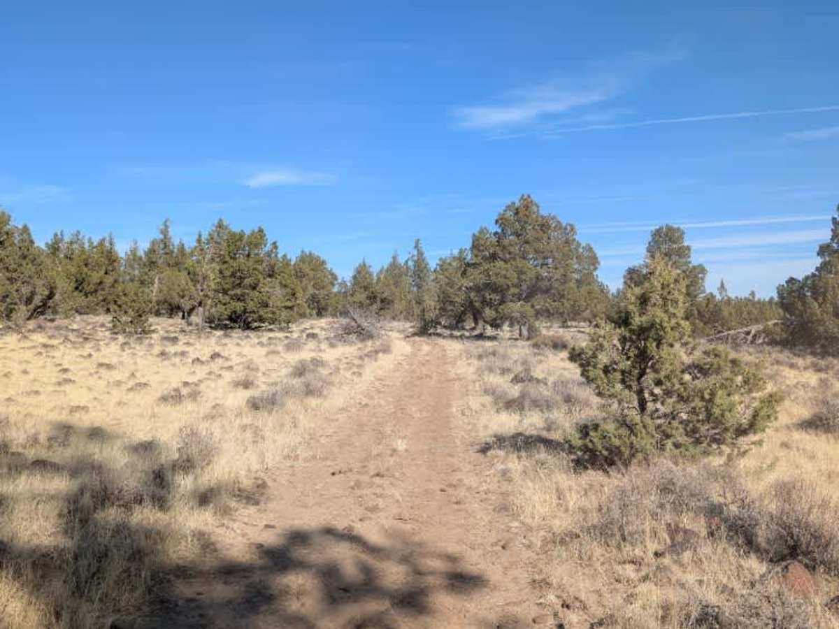
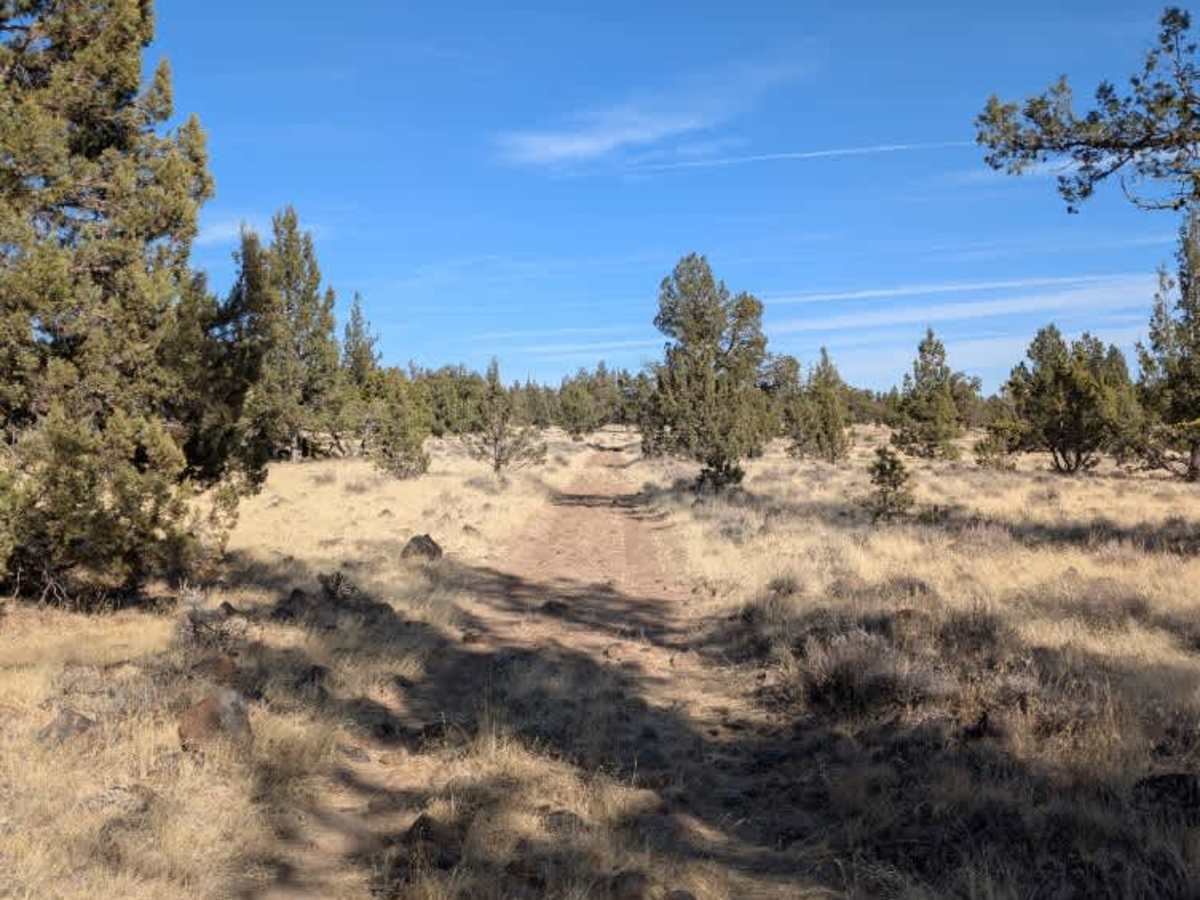
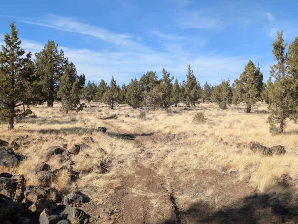
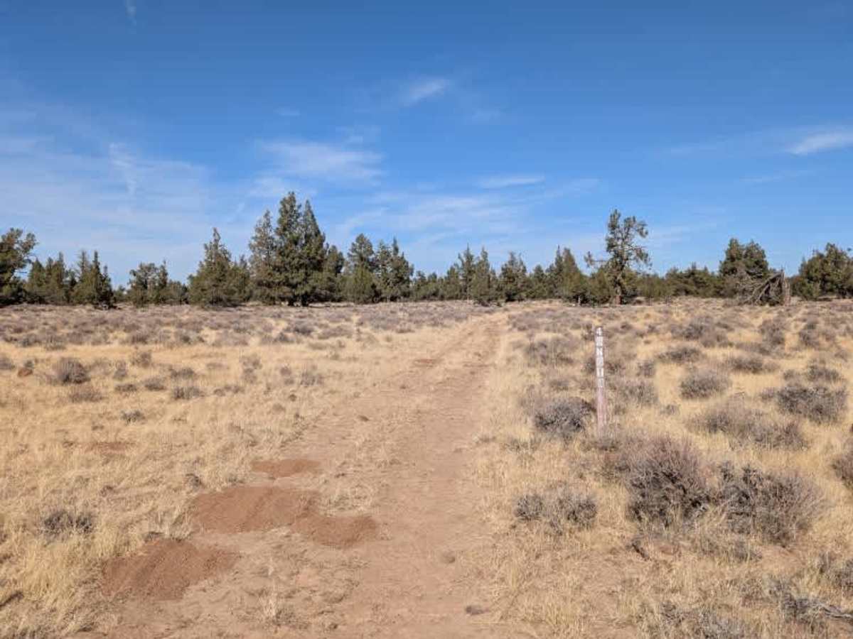
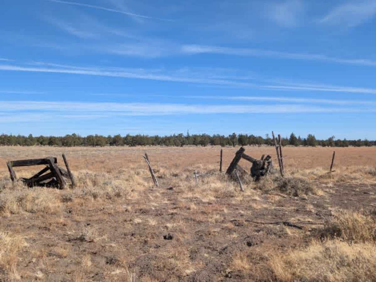
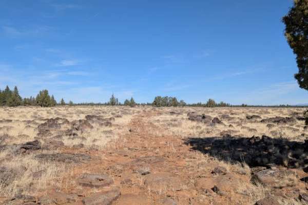
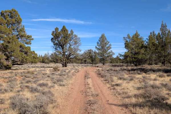
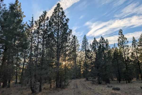
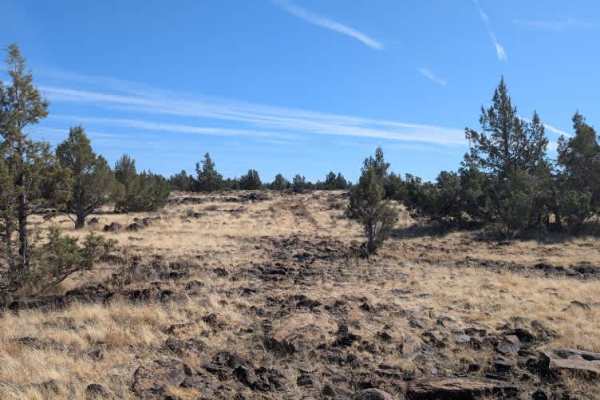
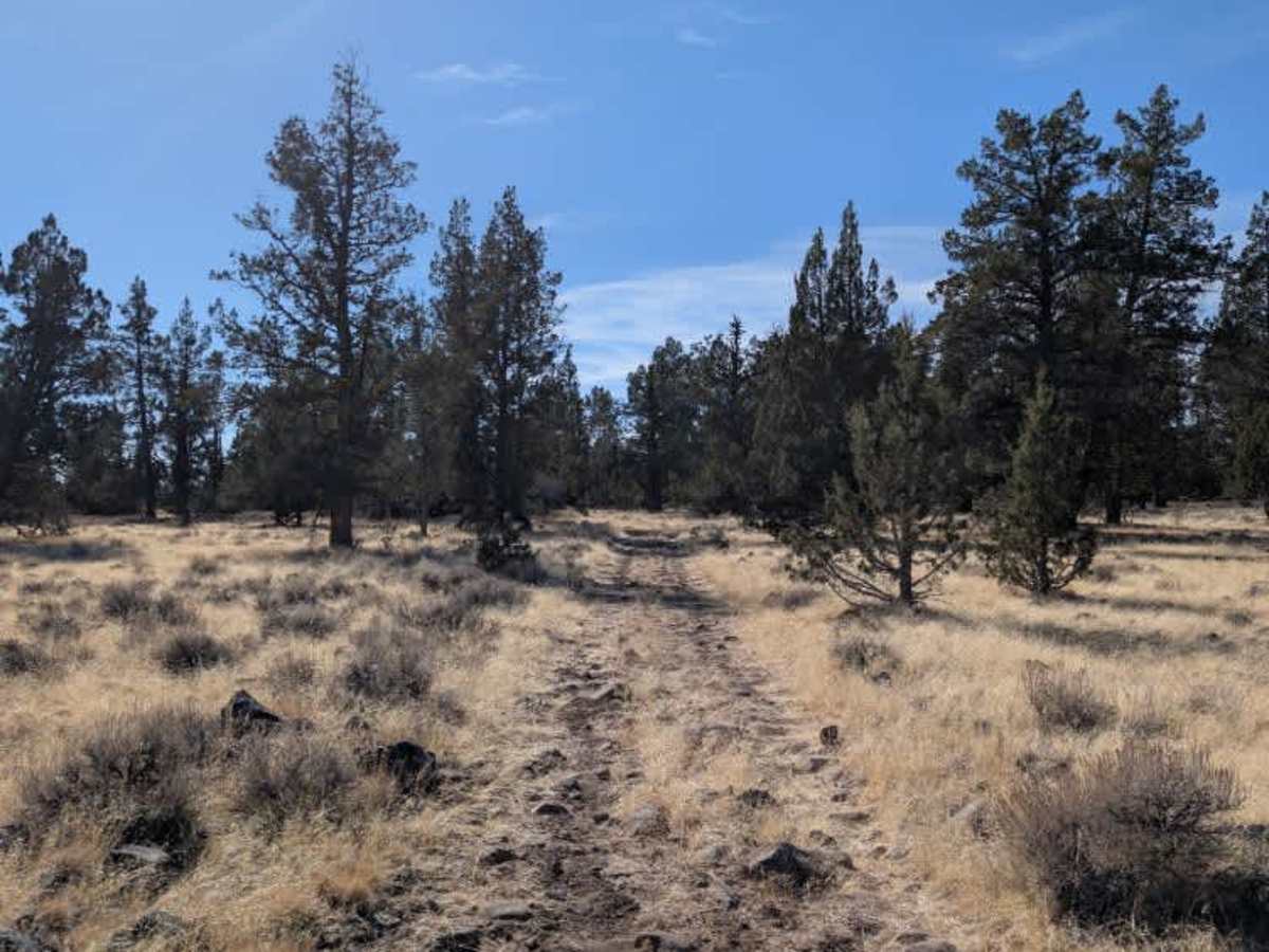
This short connecting route runs between South Mountain Reservoir (FS 46N01) and FS 47N10, providing an alternative way to travel between the two roads. The surface is very rough and bumpy, with several large rocks that require some maneuvering to get over or around. While the route is in poor condition, the obstacles aren’t as challenging as those on the roads it connects to. Take your time through the rockier sections and watch your line, especially in a larger vehicle. There are a few spots along the way where you can pull over and take a break in the shade, but there are no suitable areas for dispersed camping. This route is subject to Seasonal Designation from 05/01-11/30. Please check local regulations and current conditions before traveling. ATVs, UTVs, Side-by-Sides, and Dirt Bikes must always have a valid California ATV Operating Permit sticker.

Photos of South Mountain Reservoir Spur - FS 46N01B

Difficulty

The uneven surface and scattered large rocks require good ground clearance and careful line selection to navigate comfortably.

Technical Rating

2

South Mountain Reservoir Spur - FS 46N01B Trail can be accessed by the following ride types:

  • Single Track
  • 50 Inch
  • 60 Inch
  • High Clearance
  • Full Width

South Mountain Reservoir Spur - FS 46N01B Map

The onX Offroad Difference

onX Offroad combines trail photos, descriptions, difficulty ratings, width restrictions, seasonality, and more in a user-friendly interface. Available on all devices, with offline access and full compatibility with CarPlay and Android Auto. Discover what you're missing today!

Open Trail Map