Trail Overview
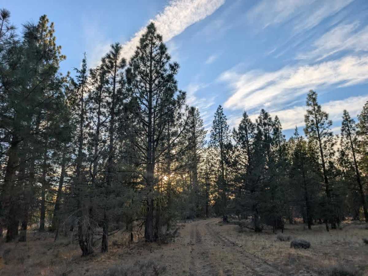
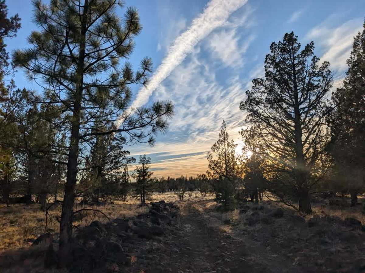
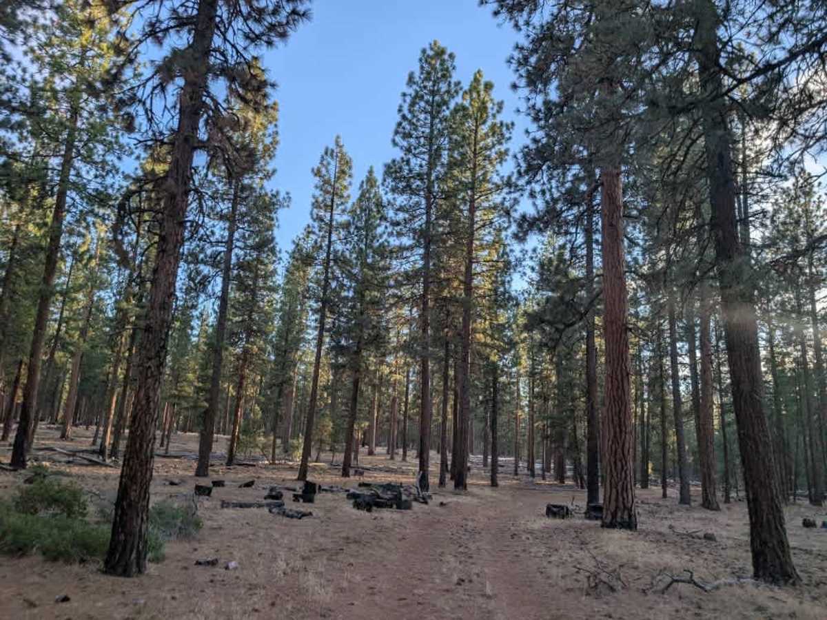
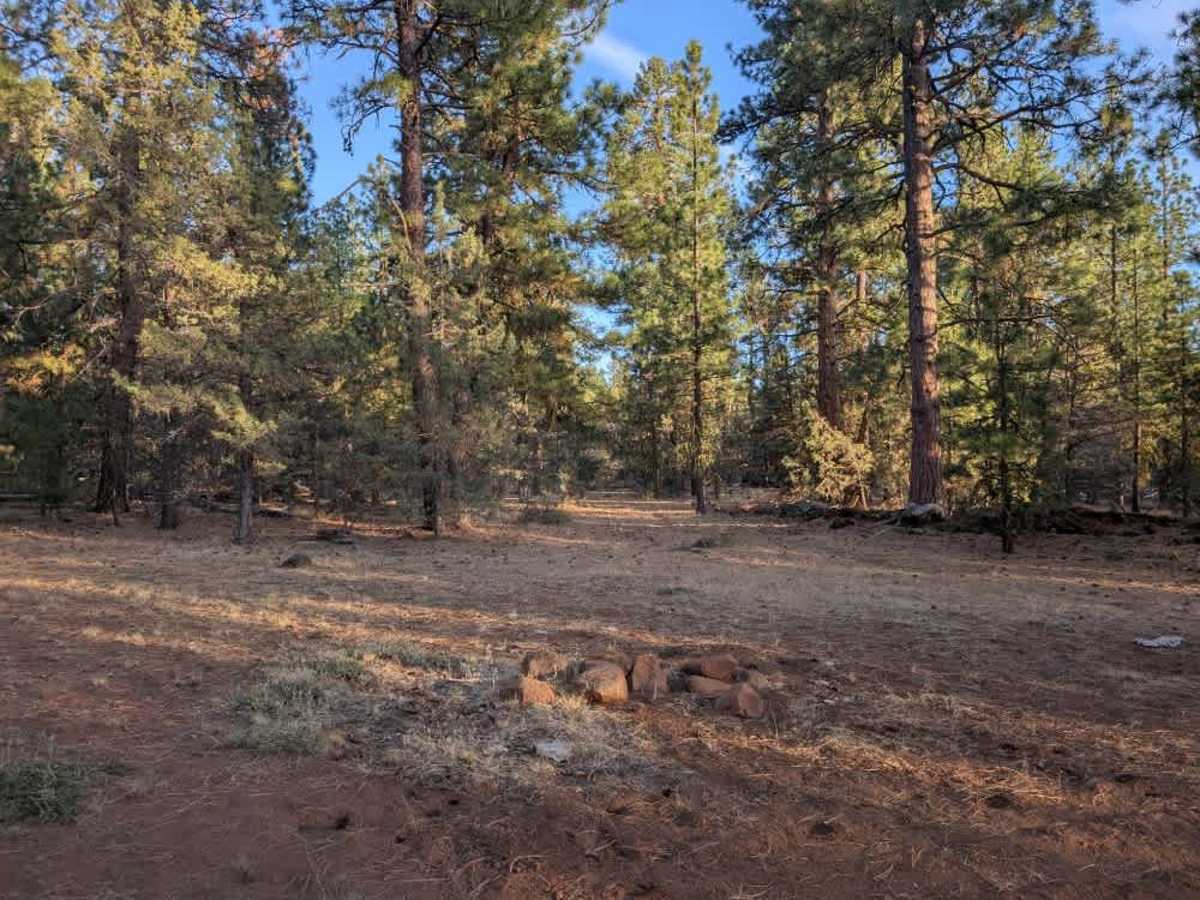
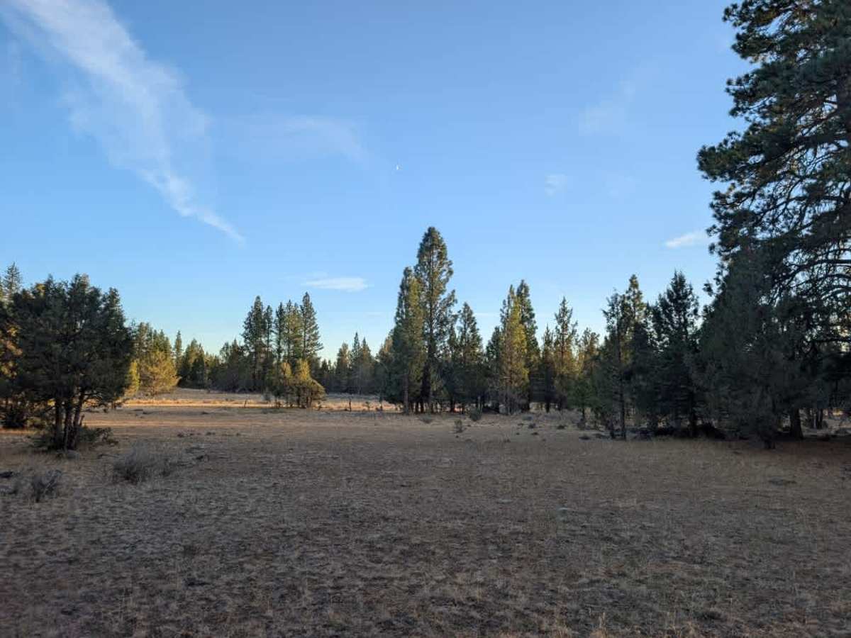
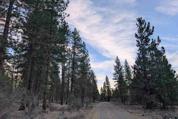
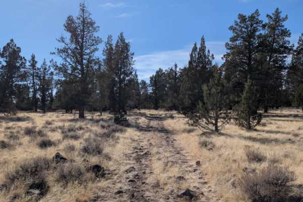
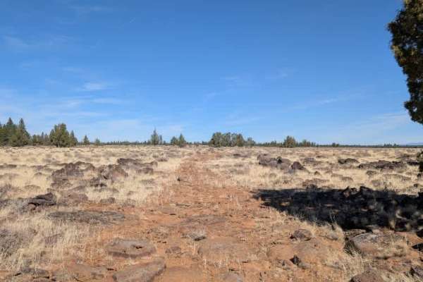
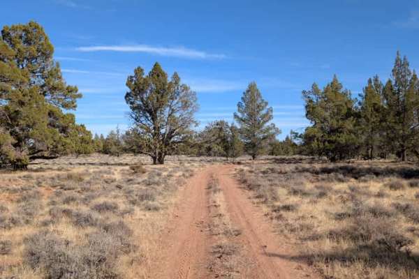
This route offers an alternative way to reach Green Spring Reservoir, but conditions change considerably along the way. The trail starts out pleasantly on a relatively smooth surface through open forest, then passes through an area where trees have been felled before becoming increasingly rocky. Once you reach a narrow corridor of volcanic rock, the terrain gets much rougher, with large boulders, sharp protruding rocks, and several massive obstacles that require careful maneuvering. High clearance is necessary, and sedans are not recommended. Even with a capable vehicle, expect a slow drive and watch for potential tire damage, especially in a standard pickup. There are a few possible camping spots along the route, which may be a better option than continuing all the way to the reservoir if you prefer to avoid the roughest section. This route is better suited to ATVs and Side-by-Sides or drivers looking for a more challenging alternative. ATVs, UTVs, Side-by-Sides, and Dirt Bikes must always have a valid California ATV Operating Permit sticker.
Difficulty
The trail becomes increasingly rocky, with large boulders, sharp protruding rocks, and major obstacles requiring high clearance and careful maneuvering.