Trail Overview
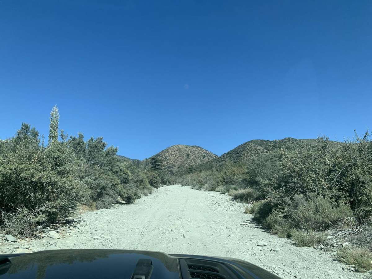
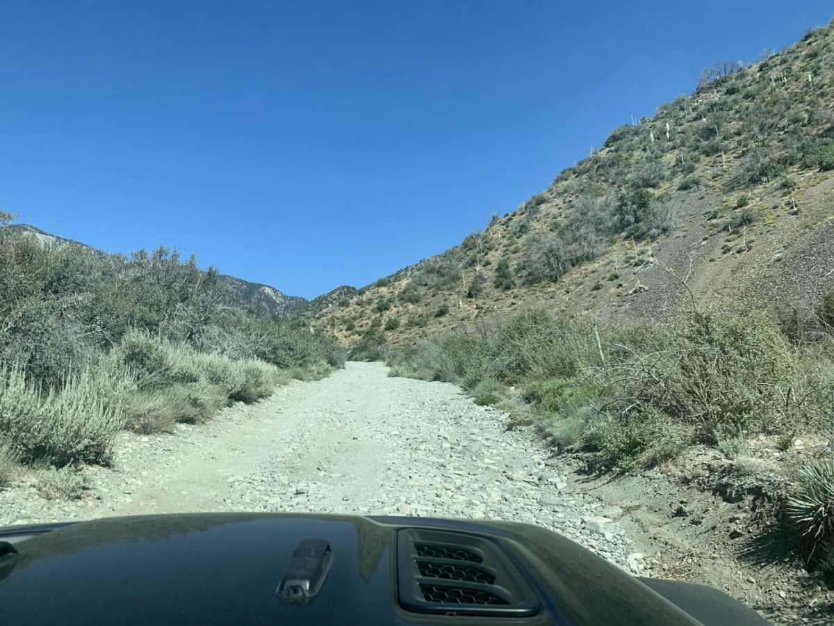
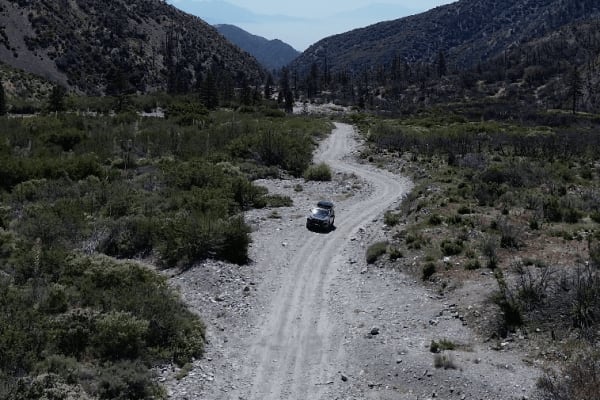
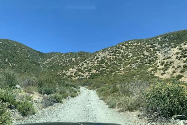
Slade Canyon is a short, scenic climb perfect for beginner offroaders looking to escape into the San Bernardino National Forest and enjoy panoramic mountain views above the Lytle Creek area. Stretching approximately 2.8 miles, this route begins near the creek bed at an elevation of 5,228 feet and climbs steadily to a peak of 6,392 feet. The trail is rated a 2 out of 10, meaning it is largely a well-graded dirt road with occasional loose rocks and a consistent uphill grade. While it is accessible to most high-clearance vehicles in dry conditions, the steady ascent offers an engaging drive for stock SUVs and trucks seeking a quick mountain getaway. Street-legal vehicles are required on this route, making it a convenient option for registered rigs.
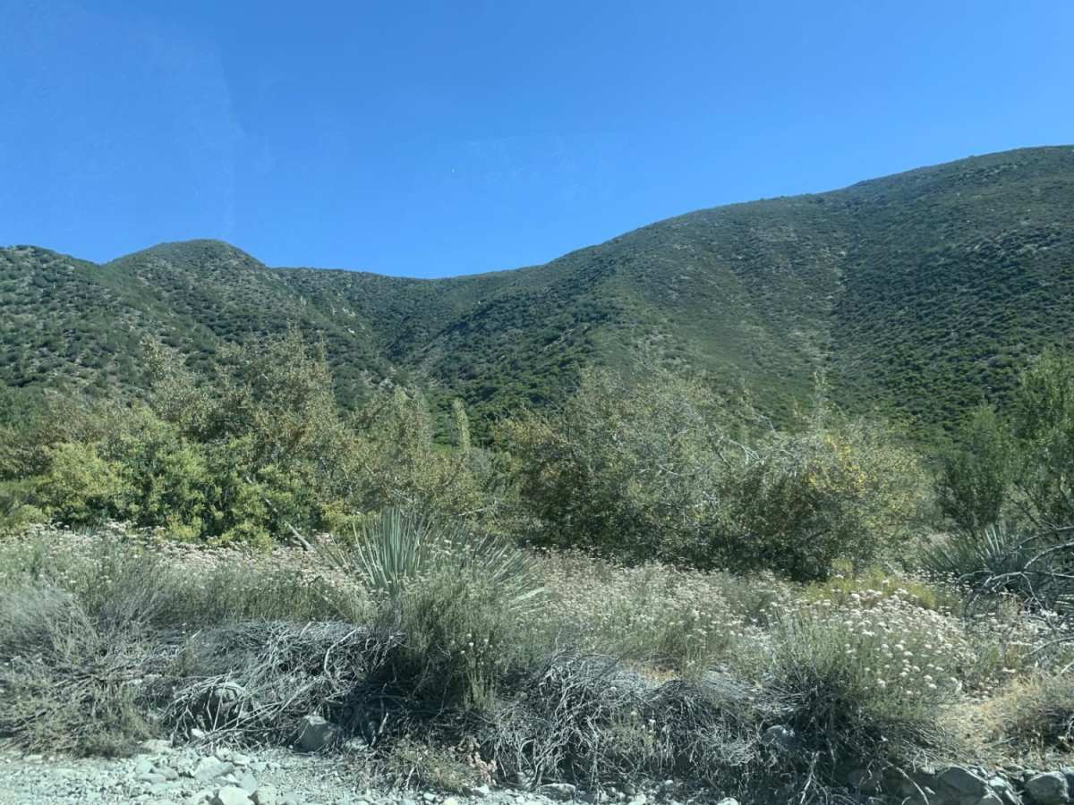
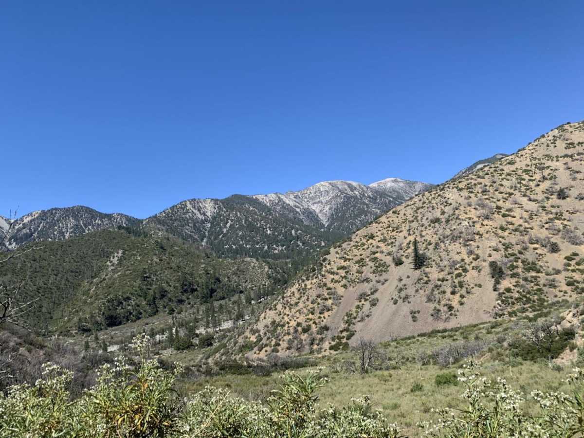
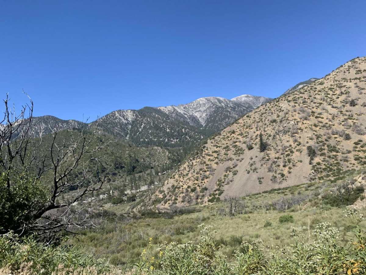
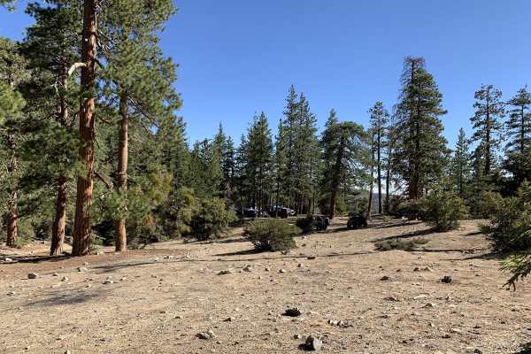
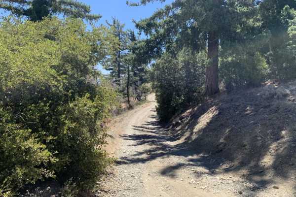
Drivers should check local forest service conditions before heading out, as winter storms can lead to seasonal gates being closed. Along the route, travelers will enjoy shifting vegetation from chaparral to pine as they ascend, with several vantage points offering views of the surrounding canyon and distant peaks. It is a fantastic option for a quick out-and-back trail run or as a scenic connector to other forest service roads in the area.
Access Description
Street-legal vehicles only are permitted on this route. Standard San Bernardino National Forest regulations apply. A National Forest Adventure Pass may be required if parking or staging in designated recreation areas. The trail climbs to nearly 6,400 feet, making it susceptible to heavy winter snow and ice; check with the U.S. Forest Service for seasonal winter closures.

 Offroad