Trail Overview
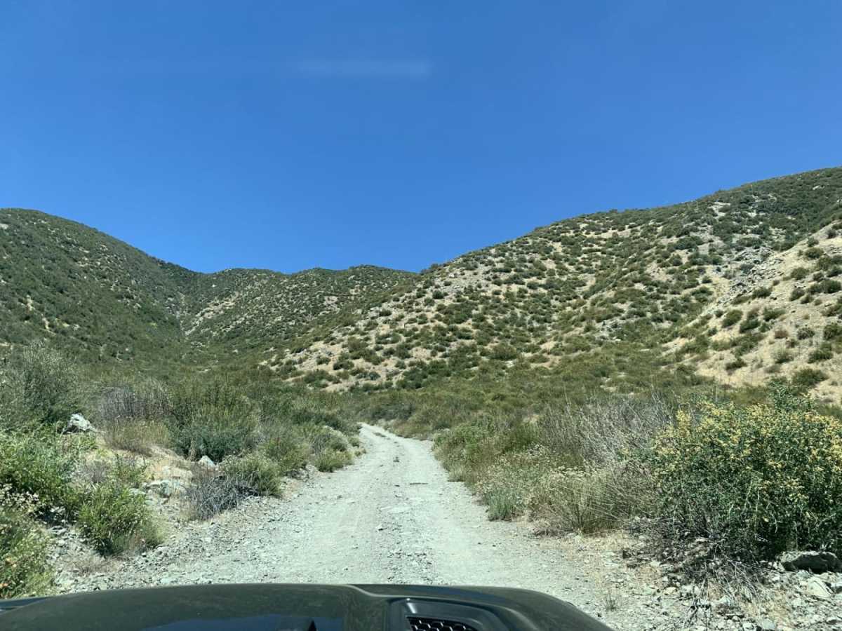
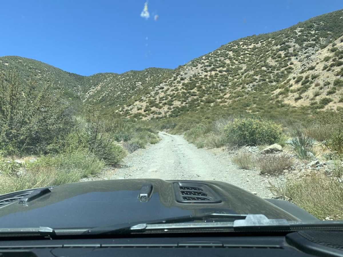
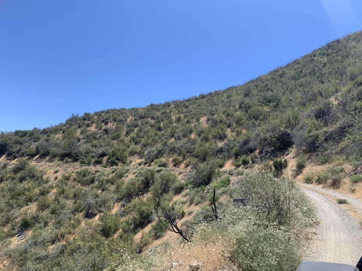
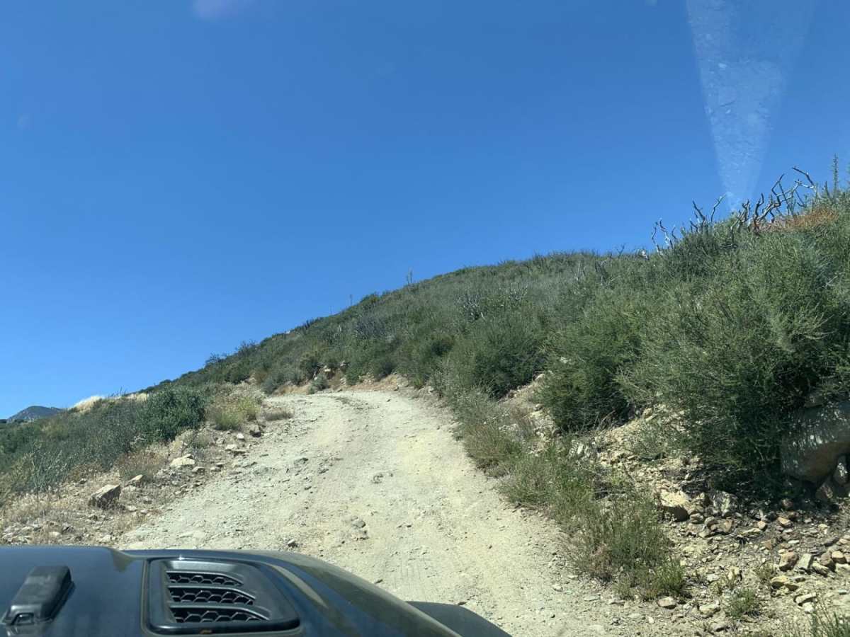
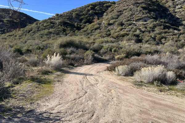
Sharpless Ranch is an easy 2.3-mile point-to-point trail ideal for beginner offroaders and high-clearance vehicles looking to climb from Lone Pine Canyon Road up to the Upper Lytle Creek Divide. This short, single-vehicle-wide route offers a quick but engaging ascent through the San Bernardino National Forest, featuring tight turns and minor rocky sections. While the track is generally straightforward with a low technical rating of 2, drivers should expect narrow passages with thick brush that can cause minor pinstriping on wider rigs. Ample turnouts are situated along the path to allow opposing traffic to pass safely.
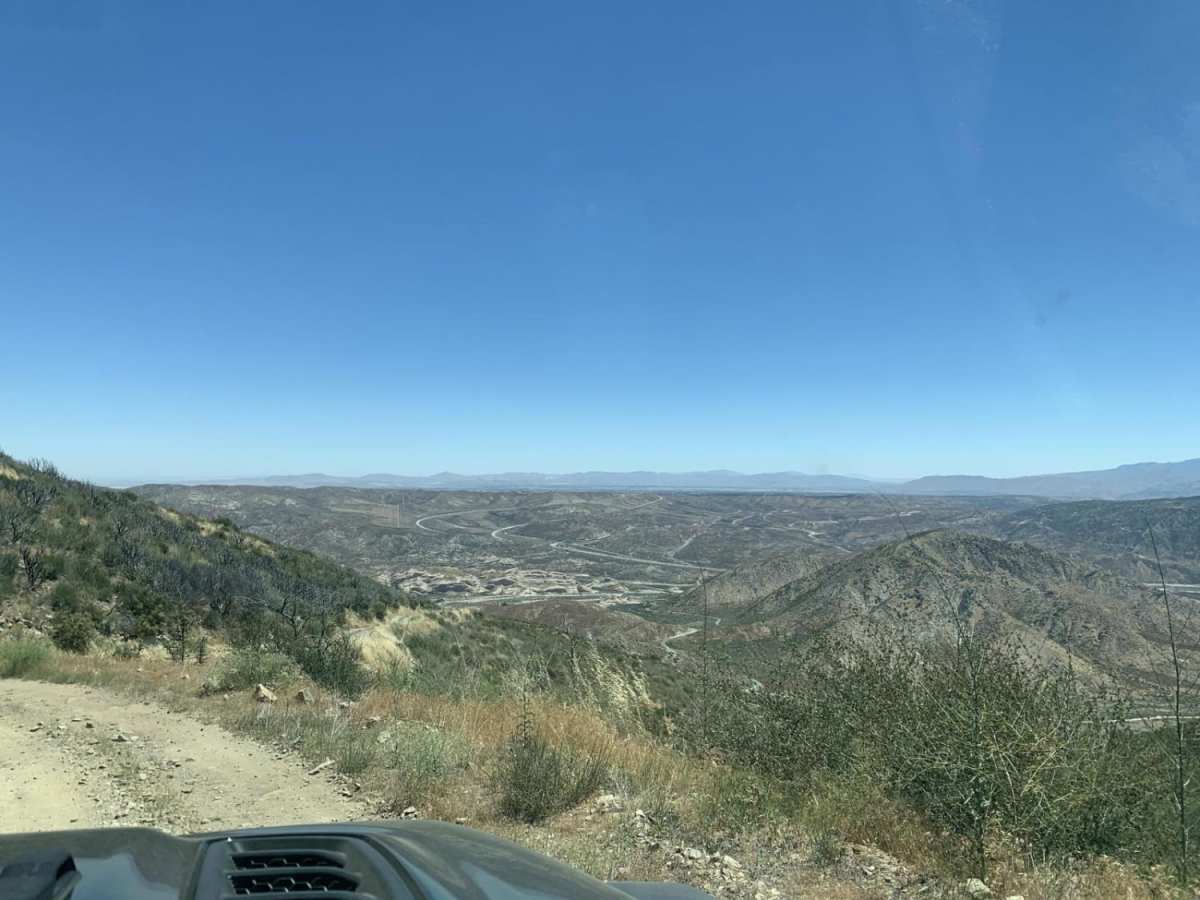
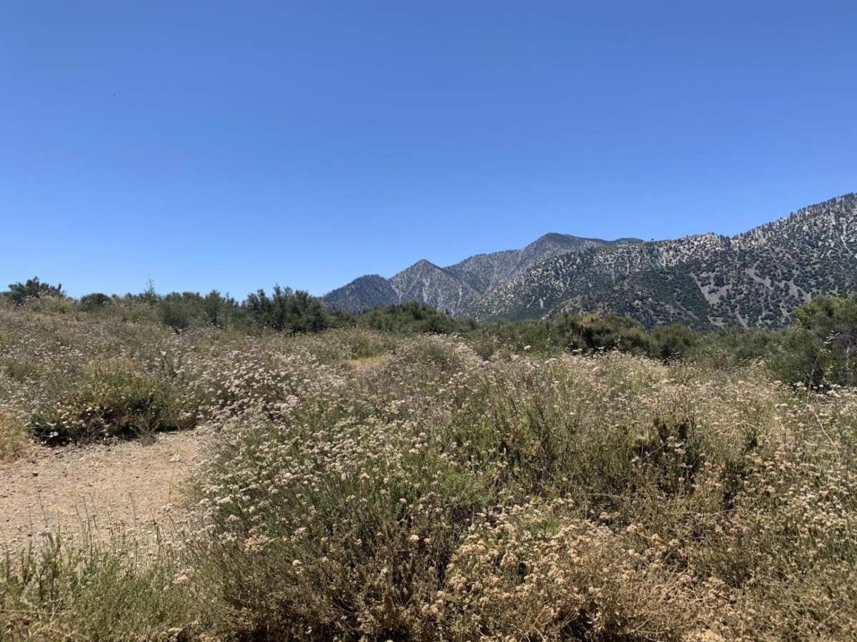
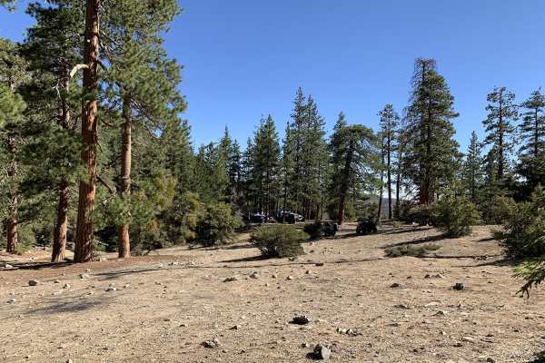
Starting at an elevation of approximately 4,061 feet near Lone Pine Canyon Road, the trail climbs steadily over 1,200 feet of elevation gain to reach its peak near 5,234 feet, where it connects directly with the Upper Lytle Creek Ridge road. This unpaved route requires street-legal vehicles and serves as an excellent connector for those exploring the Cajon Pass or Wrightwood areas. The trail is accessible for most stock SUVs with high clearance and four-wheel drive, offering expansive views of the surrounding canyons as it winds up the ridgeline.