Trail Overview
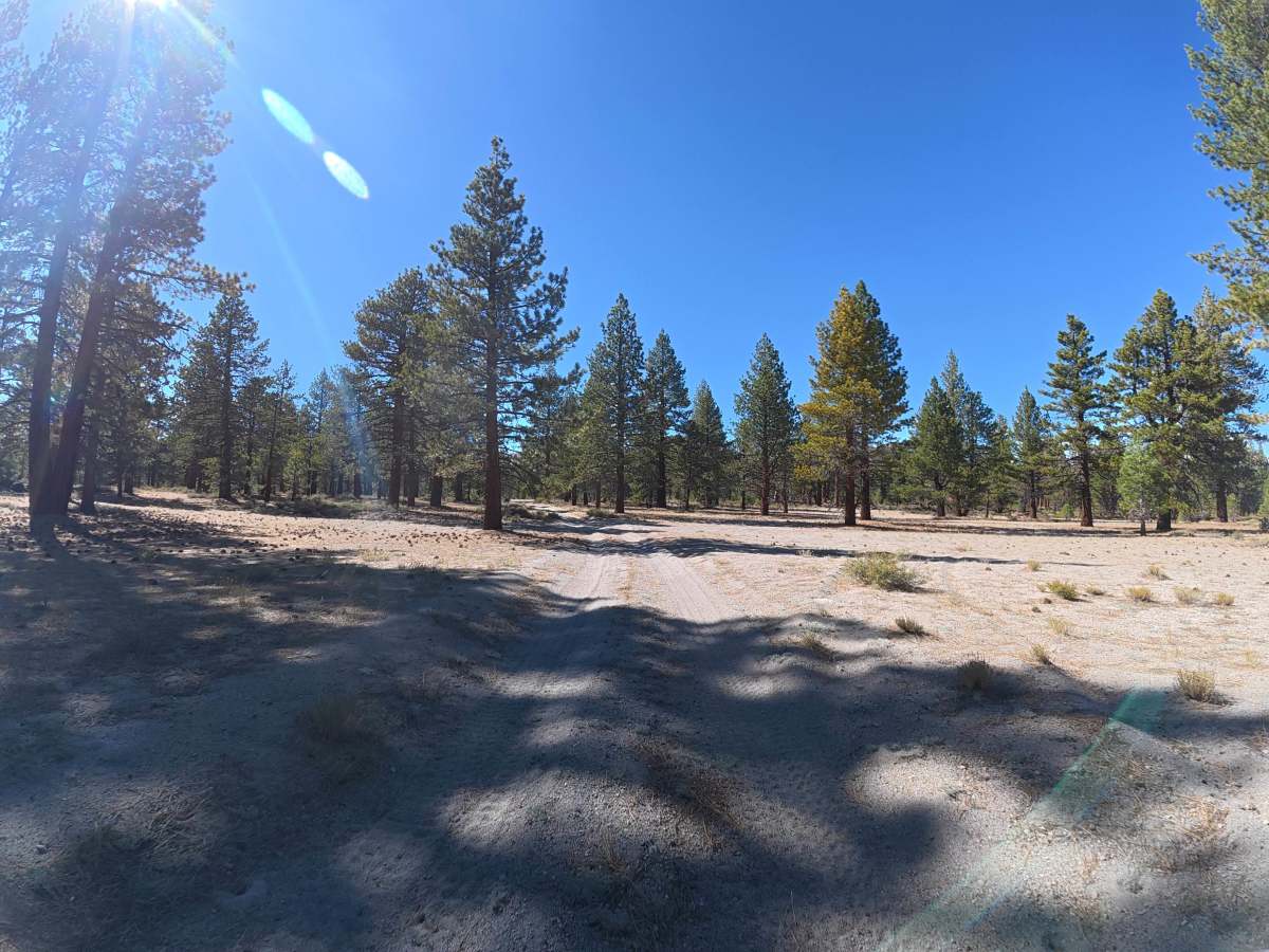
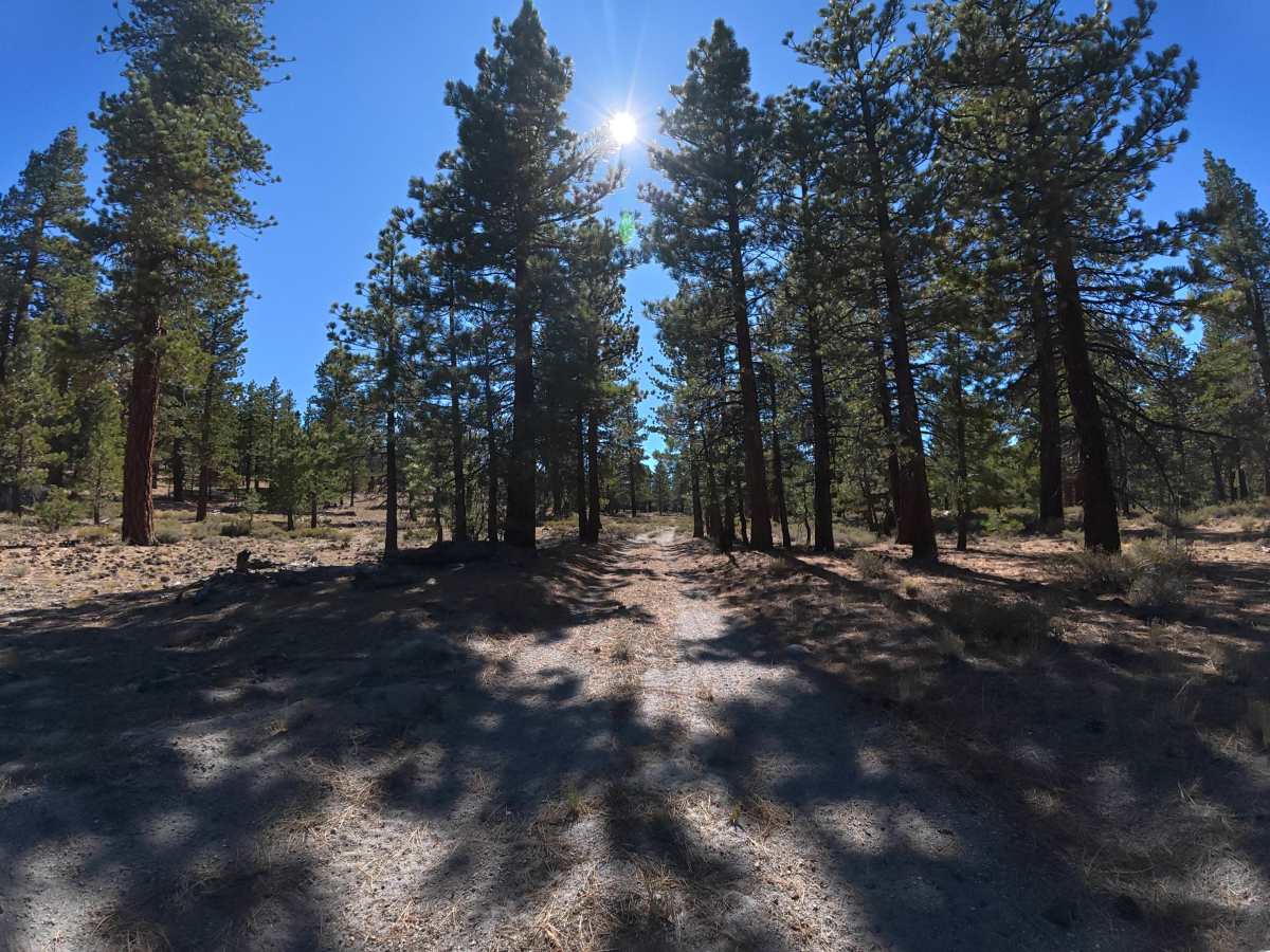
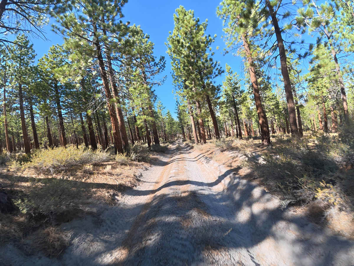
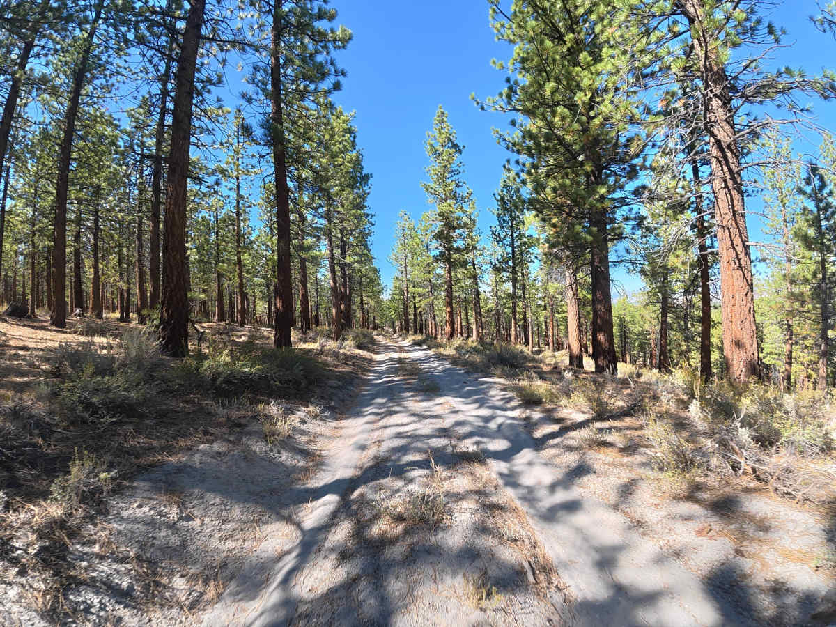
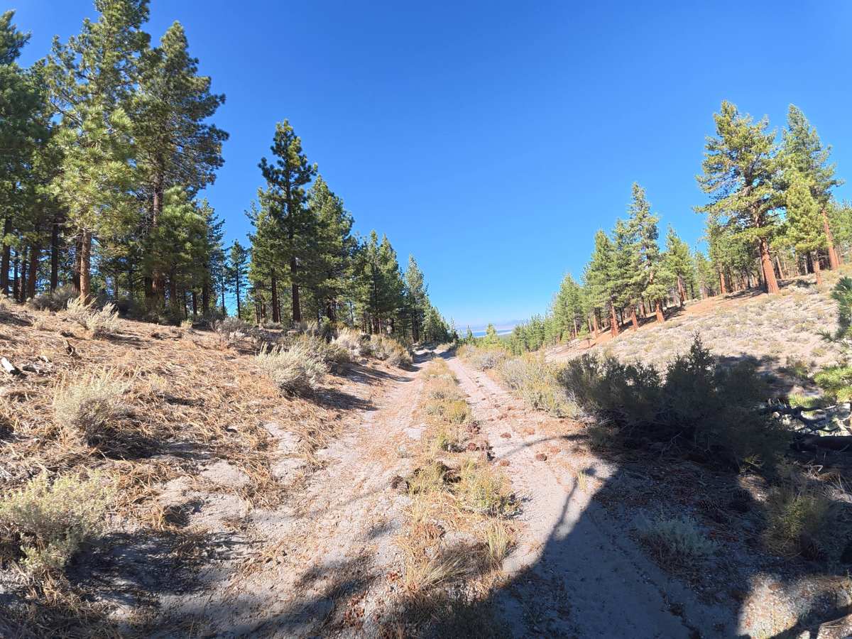
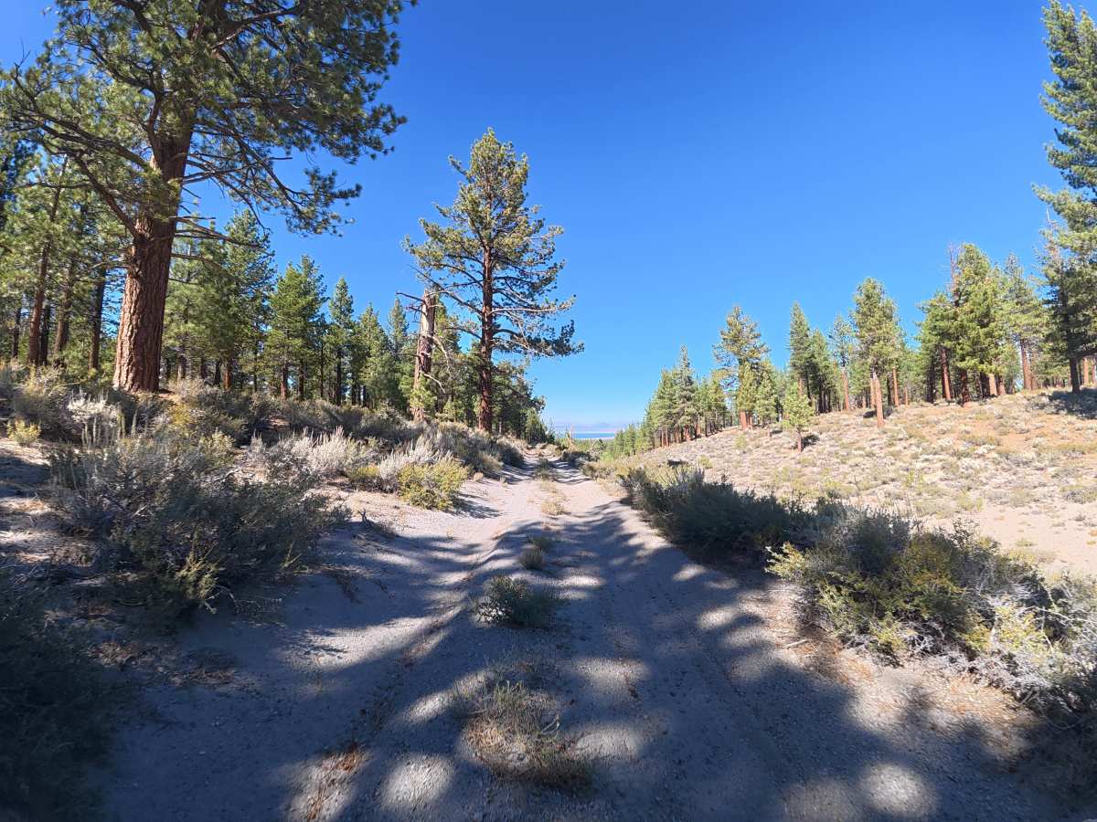
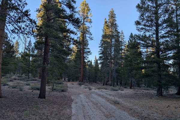
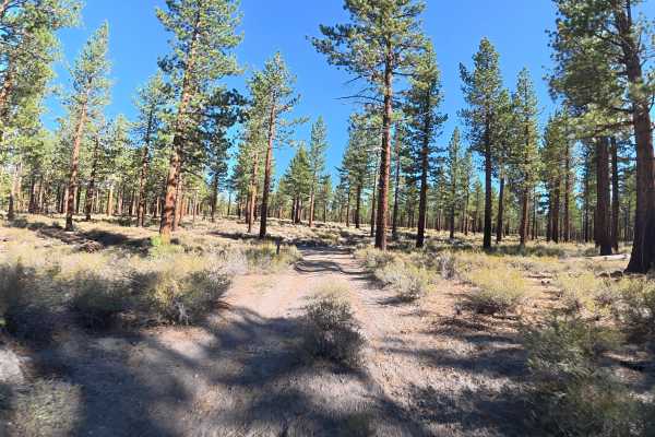
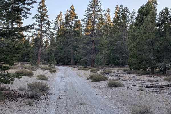
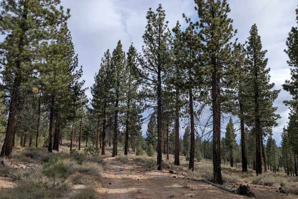
This narrow, fine-dirt trail travels through a unique section of forest, alternating between dense trees and the open sandy terrain of Sandy Flat. Tight trees, branches, and overgrown vegetation require careful driving in some sections to avoid pinstriping. Around 0.8 miles, the trail offers expansive views of Mono Lake, the valley, and surrounding mountains. Ruts increase to 6–8 inches around 1 mile. Camping is plentiful throughout, with numerous level, fully shaded campsites featuring fire rings.
Difficulty
This trail is rated Level 2 because of the 6–8 inch ruts, narrow trees, and overgrown vegetation. There are no significant obstacles, although careful driving may be needed to avoid pinstriping and the fine dirt can become more difficult when wet.
History
Inyo National Forest was established in 1907 and today protects a vast section of the Eastern Sierra surrounding Mammoth Lakes. The area has a long history of Native American use, mining, ranching, and recreation, while its dramatic landscape was shaped by volcanic activity, glaciers, and the uplift of the Sierra Nevada.