Trail Overview
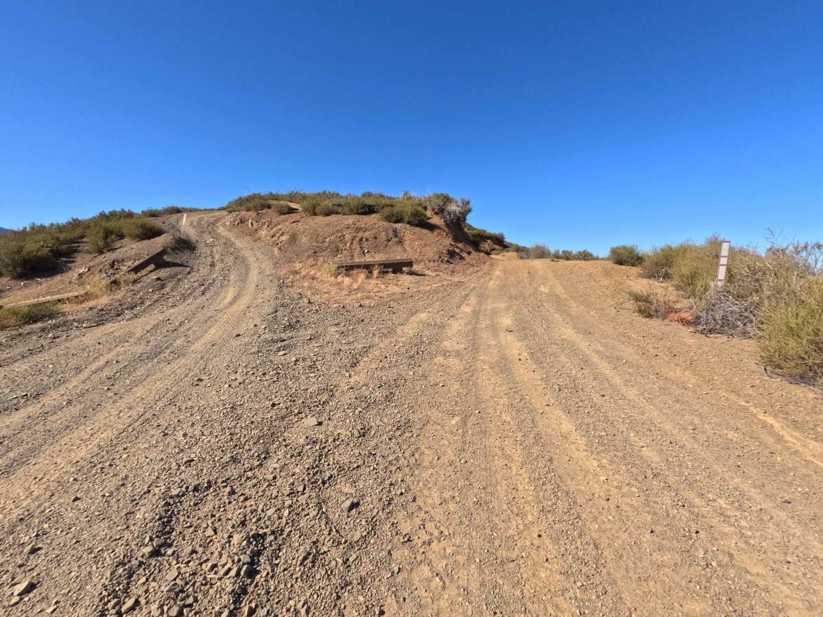
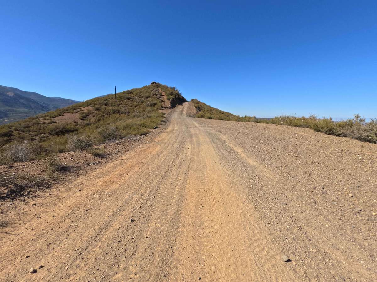
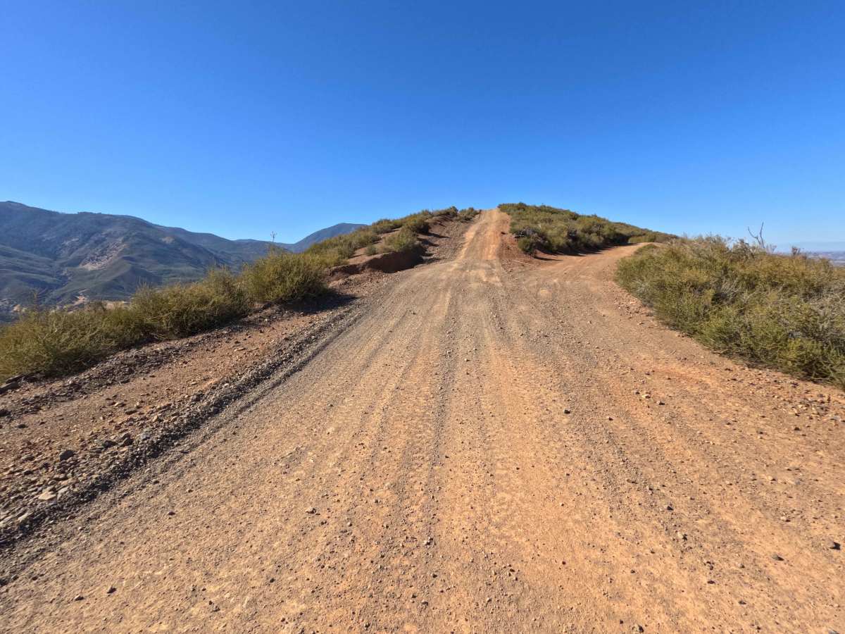
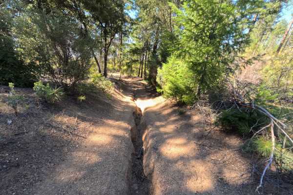
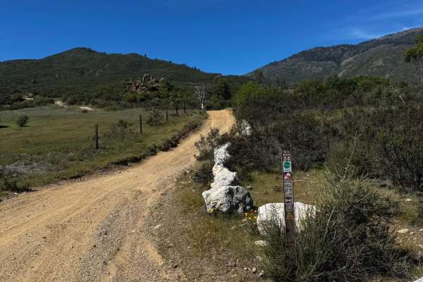
Set along open, chaparral-covered ridges recovering from the massive 2018 Ranch Fire within the Mendocino National Forest, Salt - FS 17N78 delivers an exciting high-country mountain ridge drive. Accessed directly off of Forest Highway M5, this single-track dirt spur functions as a scenic loop connector that winds along the ridge before rejoining the M5, while also providing side branches deeper into connected trail networks. Outdoor enthusiasts and off-roaders frequently travel this route to take in expansive panoramic vistas of the surrounding mountain ranges, explore connected OHV spurs, and enjoy bird's-eye views of the Nail Track OHV area in the canyon below. The driving surface consists of a single-lane dirt track that transitions into a rocky, rutted descent. Departing the main M5 corridor, the route follows the spine of the ridge over rolling terrain and past a mid-trail junction to another ridge path. The final half-mile of the route drops into a far more rugged, bumpy downhill section marked by longitudinal erosion ruts and loose gravel before reconnecting with the M5 at the 1.2-mile mark.
Difficulty
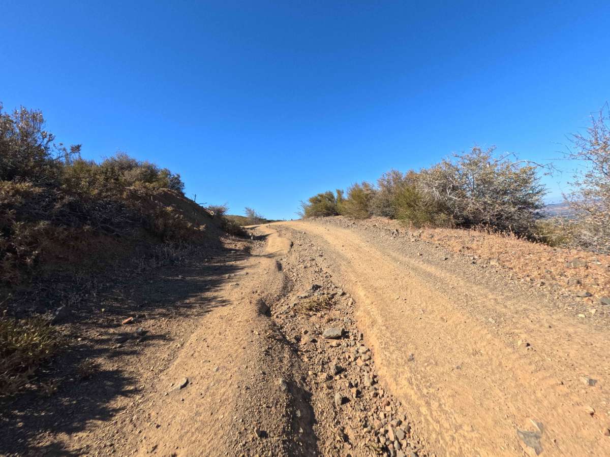
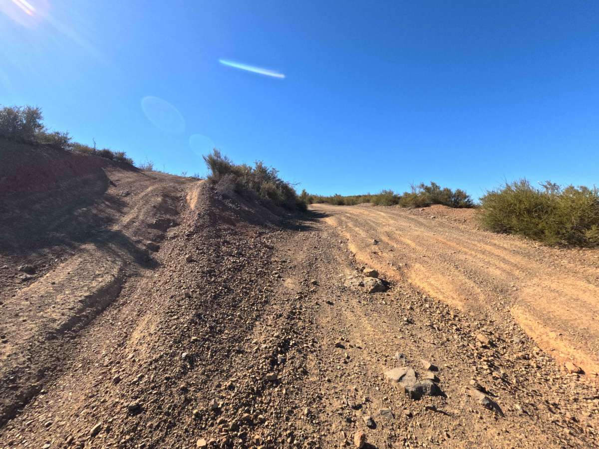
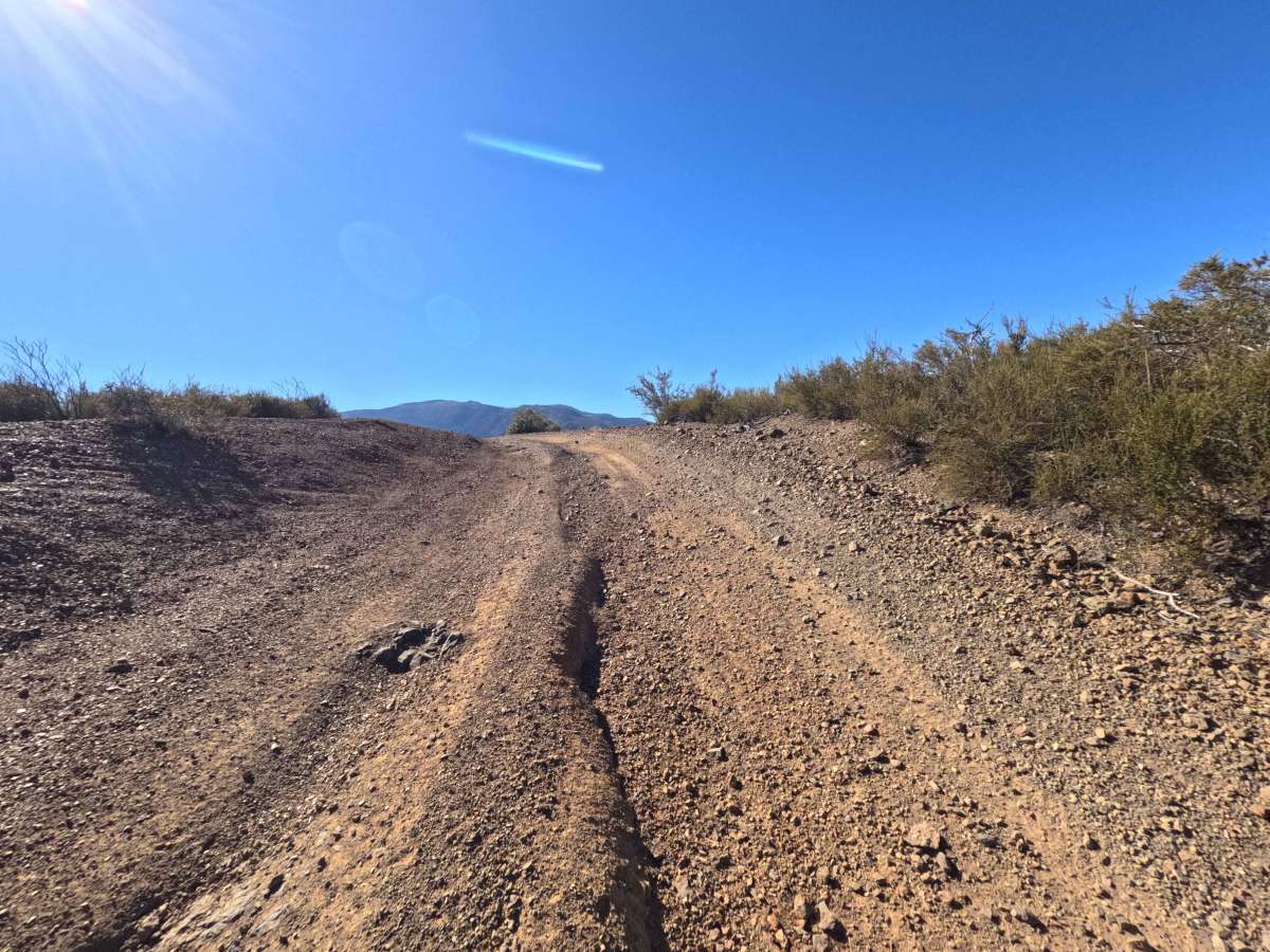
This single-track ridge route presents notable terrain challenges along its lower descent. As visible in the photos, the defining obstacles include a steep downhill pitch over the last half-mile featuring loose gravel, exposed rock ledges, and prominent longitudinal washout ruts carving along the center of the track. To traverse these obstacles safely without making underbody contact, maintain a slow, controlled downhill speed, carefully straddle central erosion ruts rather than dropping tires into them, and select high, stable lines over loose, rocky dips.

 Offroad