Trail Overview
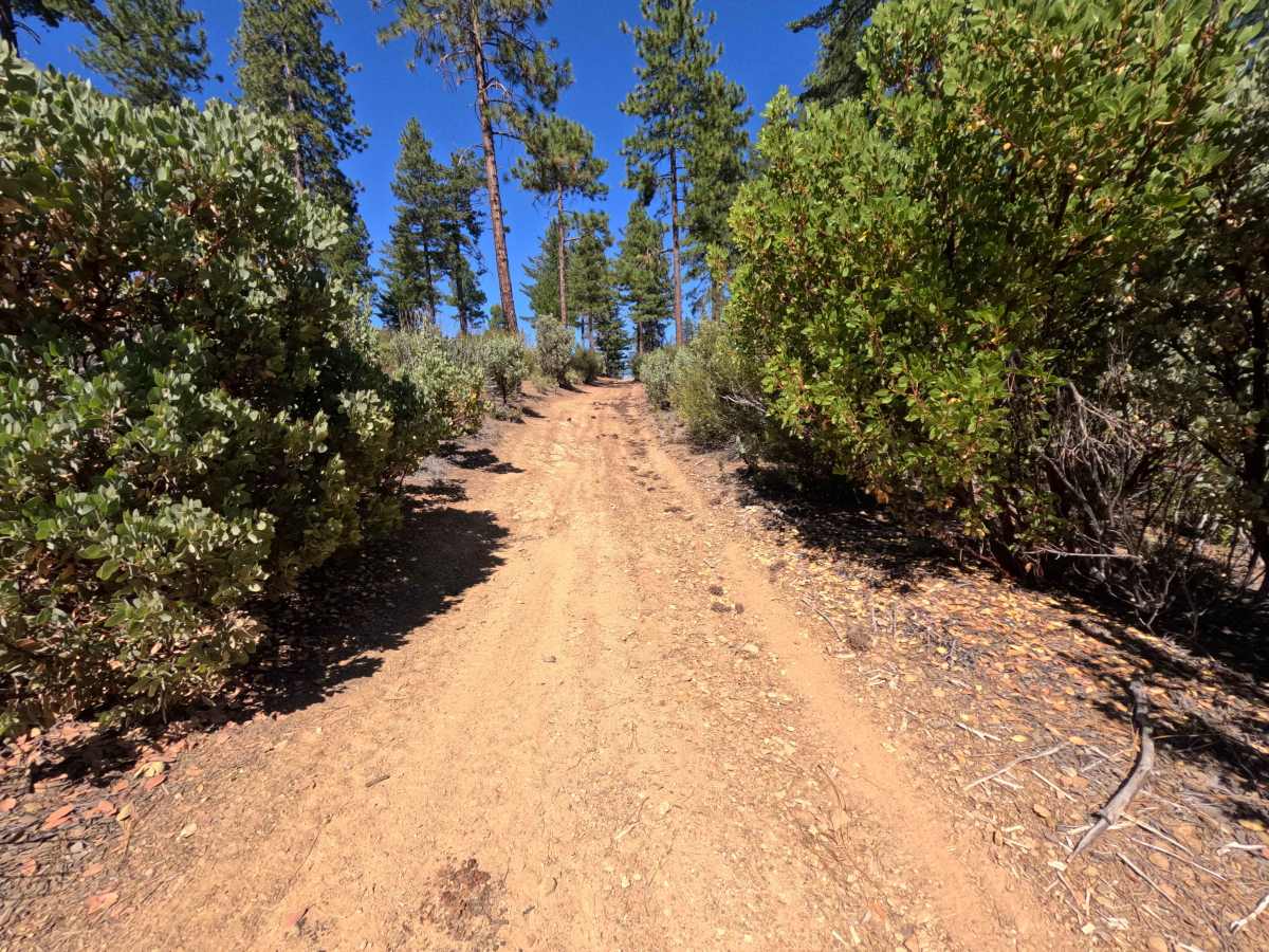
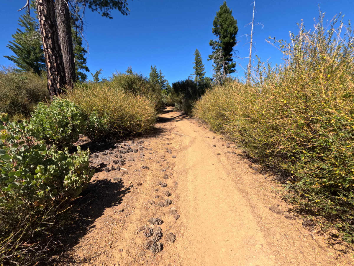
Set within a rugged mountain environment recovering from the 2018 Ranch Fire with chaparral understory and pine timber in the Mendocino National Forest, Hardrum - FS 17N82 delivers a technical high-ridge off-road adventure. Accessed directly off of Forest Highway M5, this single-track dirt connector runs parallel to and high above the main M5 corridor, providing throughput deeper into the regional OHV trail network. Off-road enthusiasts travel this challenging ridge route to access interconnected 4x4 paths, test vehicle articulation, and enjoy elevated mountain views over the forest canopy. The route consists of a narrow, single-lane dirt track featuring steep pitches, sharp turns, and severe erosion. Traveling northbound is strongly recommended, as southbound approaches encounter an immediate steep incline with deep trenches. The corridor narrows quickly between heavy foliage, causing continuous pinstriping before linking back to the M5 network.
Difficulty
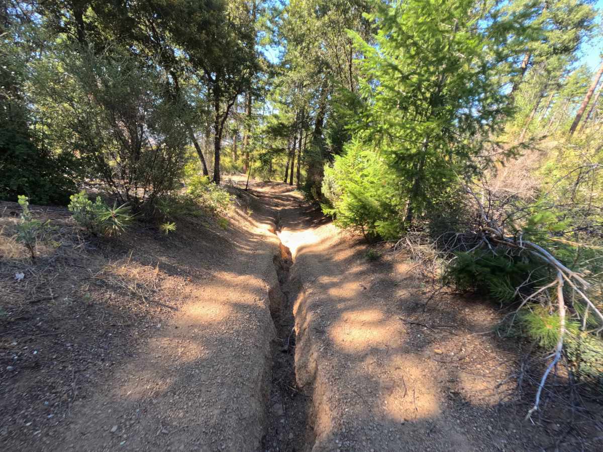
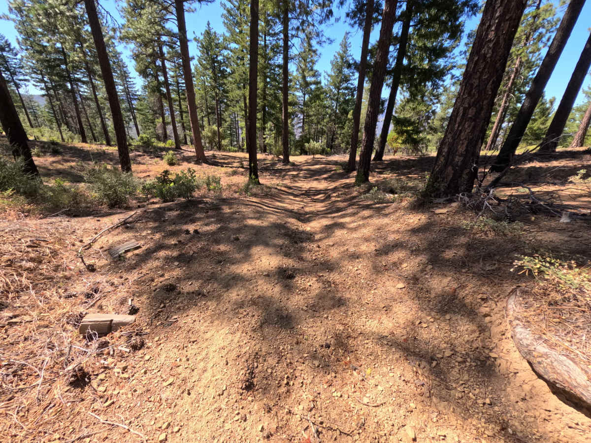
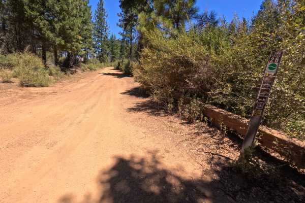
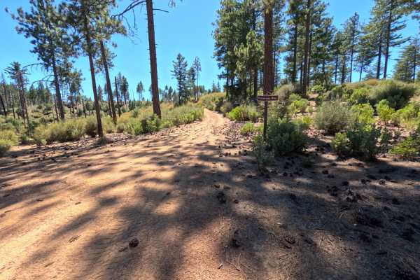
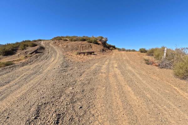
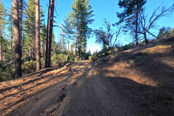
This narrow single-track trail is defined by severe ground clearance hazards and heavy brush encroachment. As shown in the photos, primary obstacles include deep longitudinal erosion trenches cutting up to two feet into the dirt track, steep off-camber dips, and sharp, banked turns on inclines. To avoid high-centering or getting trapped in narrow earth fissures, wheels must be precisely placed to straddle the deep central ruts rather than dropping into them. Additionally, dense brush tightly hugs both sides of the roadway, creating a persistent paint-scratching hazard along the entire 1.2-mile distance.