Trail Overview
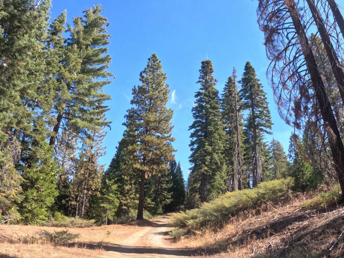
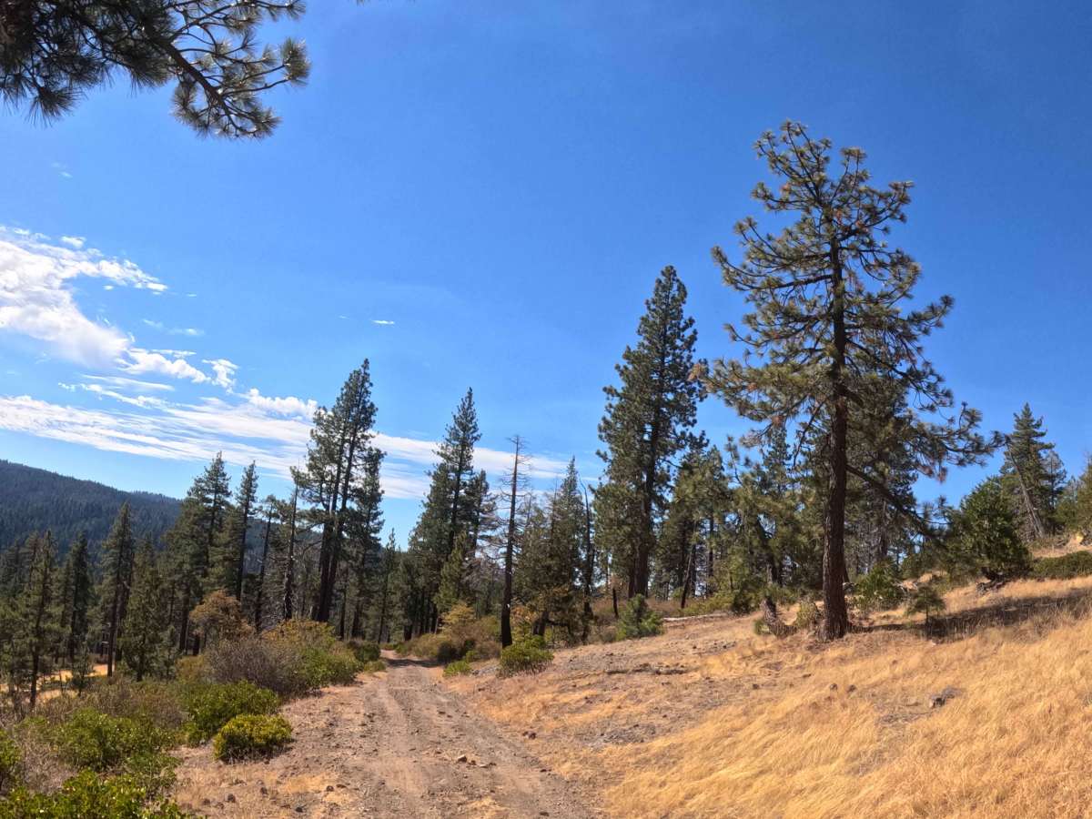
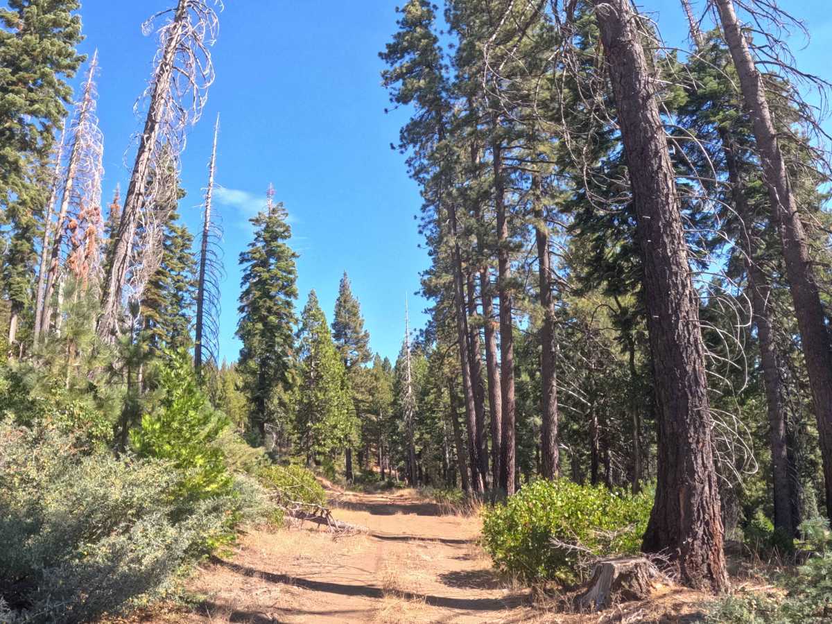
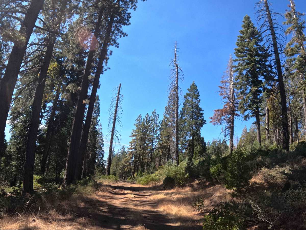
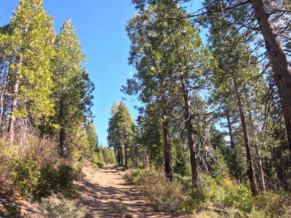
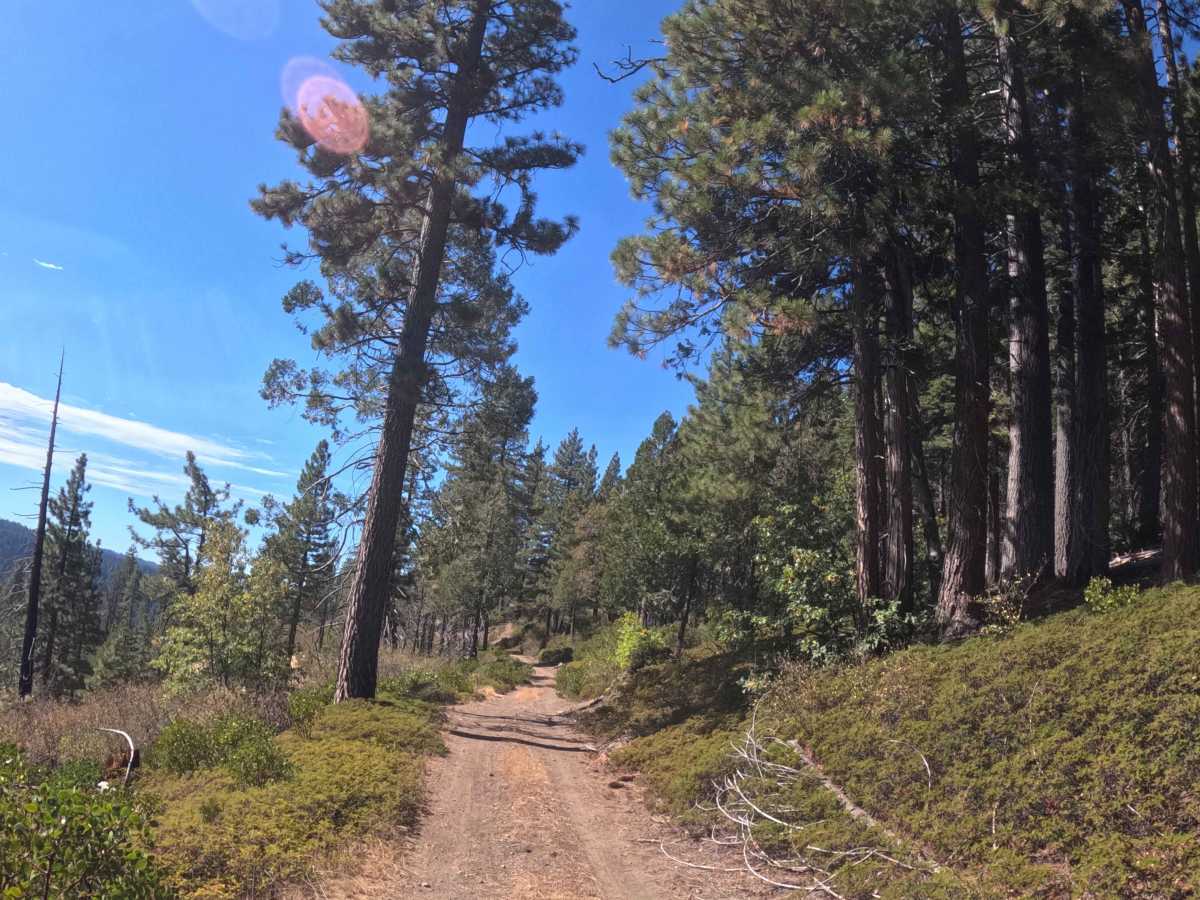
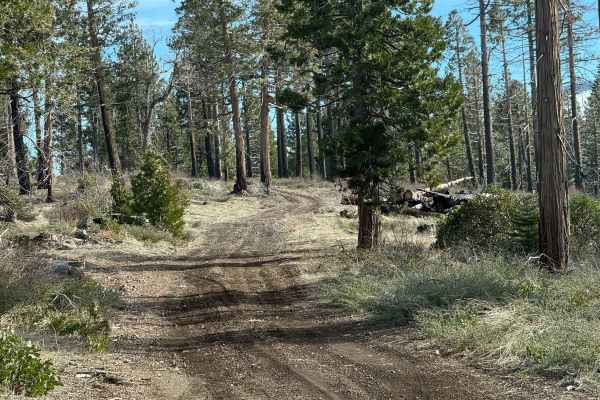
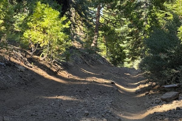
Breaking east off paved FS 9N17, Ridge Cat Creek (FS 9N51) ascends across Cat Creek Ridge as an out-and-back forest route. Conifers including fir, pine, and cedar border a Sierra Nevada woodland accented by granite outcrops and exposed bedrock inside the Eldorado National Forest. Rated Level 1, this single-lane dirt and gravel road launches into a 15% to 20% initial climb before gaining steady elevation along mild shelf-road cuts with grade variations near 12%. The corridor experiences minimal brush encroachment until thick undergrowth abruptly narrows the track beyond passable width where regular maintenance ends. Backcountry explorers, dispersed campers, and hunters travel this quiet spur for ridge access, with no developed hiking trailheads or intersecting foot trails located along the route. Keep steady momentum on the steeper lower pitch, stay centered on the firm tread along hillside cuts, and watch for pedestrians, wildlife, or oncoming traffic before turning around at the overgrown terminus.
Difficulty
Ridge Cat Creek (FS 9N51) receives a Level 1 rating thanks to its compact dirt and gravel surface and lack of rock ledges, deep ruts, or washouts. Aside from the brief 15% to 20% pitch near the junction and sustained 12% ridge grades, traction remains consistent and shelf-road segments carry minimal drop-off exposure. Foliage stays well clear of the travel lane until the overgrown dead-end, where turning around before the corridor closes in keeps travel straightforward under normal dry conditions.

 Offroad