Trail Overview
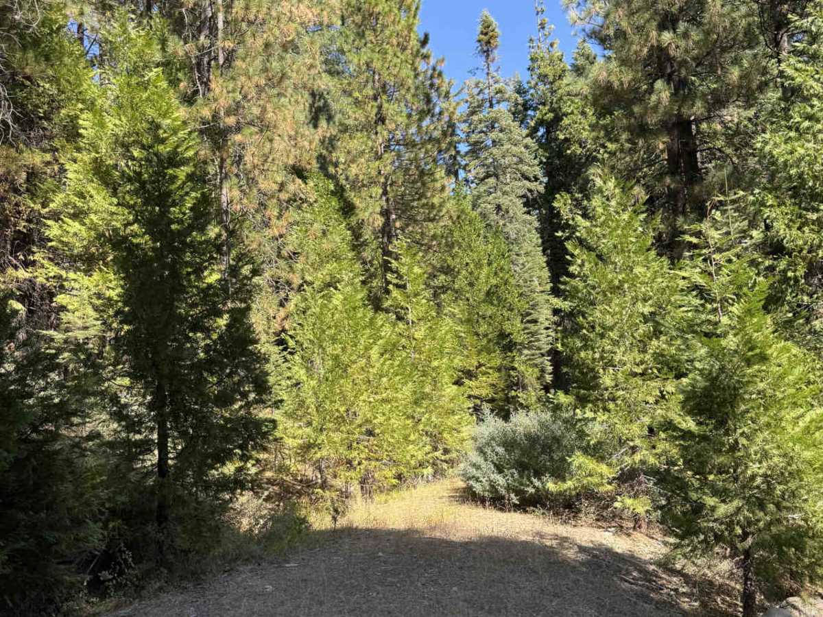
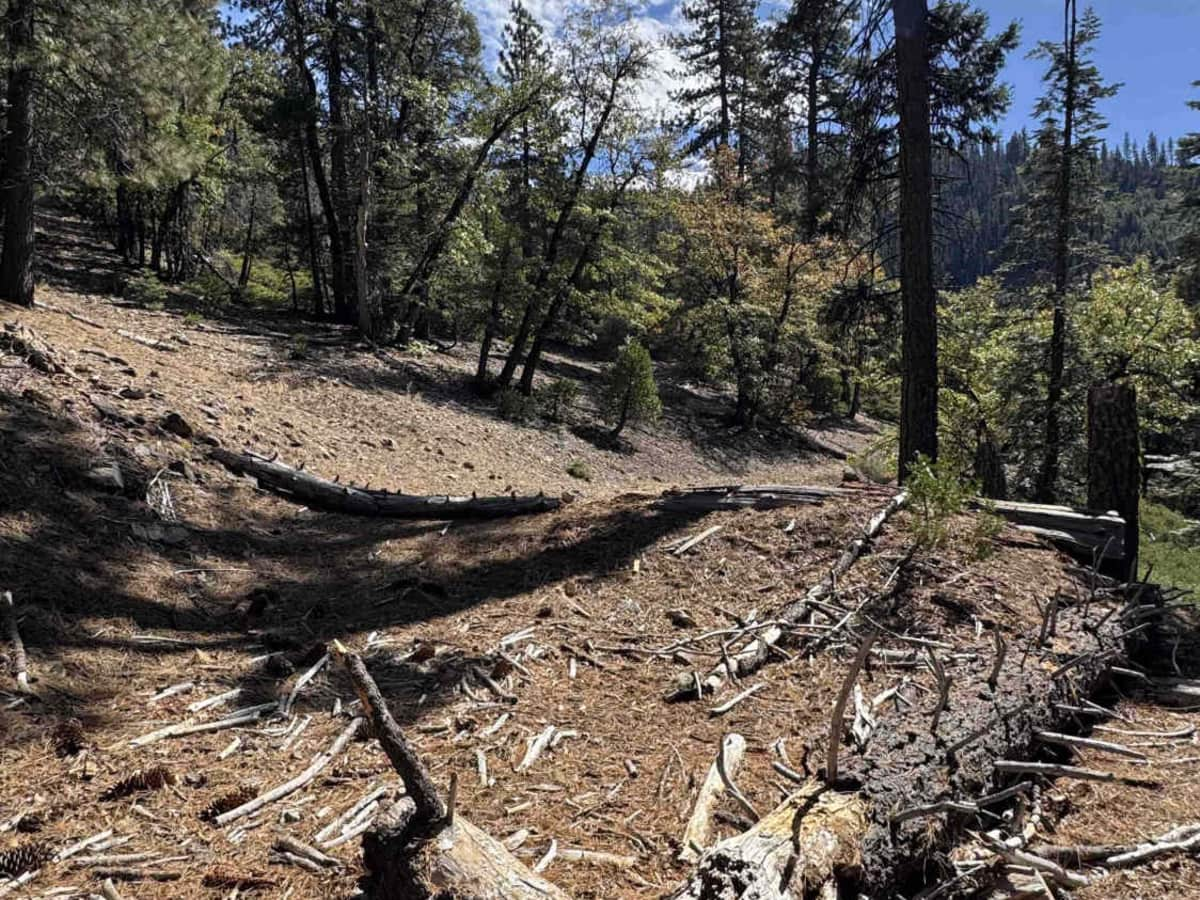
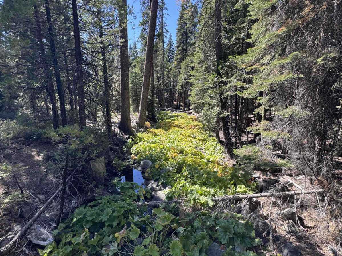
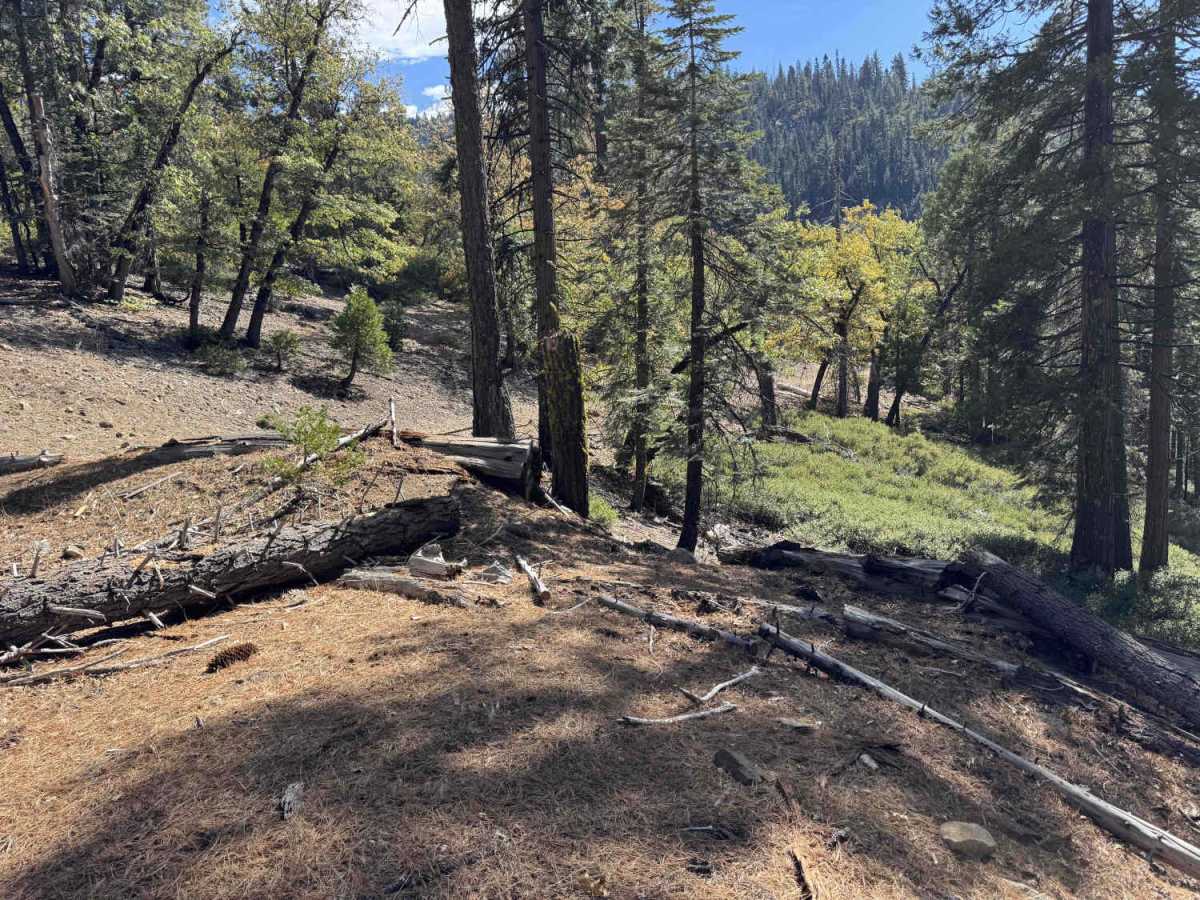
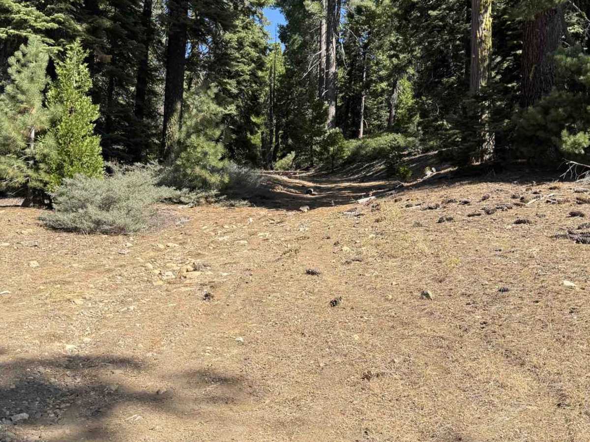
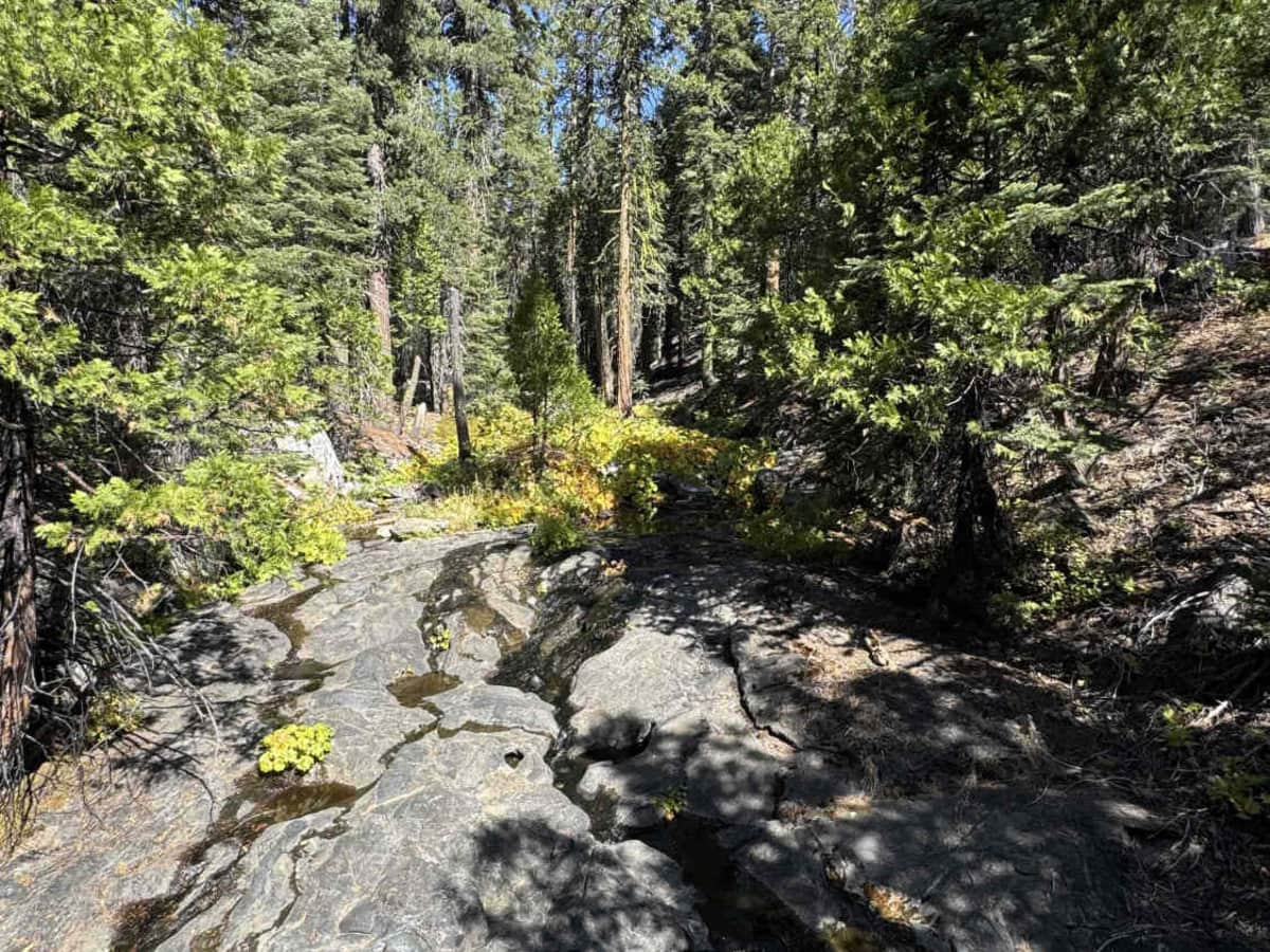
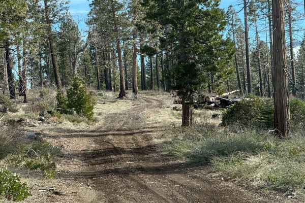
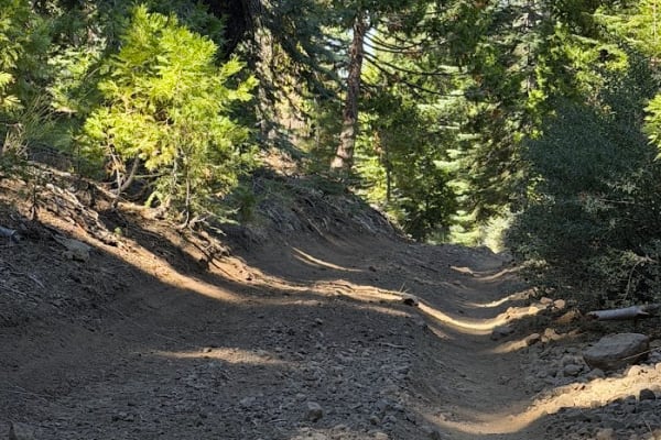
Splitting east off paved FS 9N17, Cat Creek Ridge (FS 9N42) serves as a point-to-point forest corridor that links to alternative side routes before ending slightly short of its mapped terminus at an intentional dirt-and-timber barrier. Mixed stands of fir, pine, and cedar blanket the Sierra Nevada slopes above the Middle Fork Cosumnes River, broken up by granite outcrops and exposed bedrock within the Eldorado National Forest. Rated Level 1, this single-lane dirt and gravel trail winds along mild hillside shelf-road cuts and crosses several unnamed gulches and small creeks with grade variations up to 10%. Foliage stays clear of the travel lane until near the end, where light brush appears alongside downed trees blocking both the main path and a bypass. Dispersed campers, hunters, and backcountry travelers use the route to access connecting tracks and a quiet campsite turnaround at the barrier, with no developed hiking trailheads or intersecting foot trails directly along the corridor. Maintain an unhurried pace around shaded bends, keep wheels centered through shallow drainage ruts and creek dips, and watch for pedestrians, wildlife, or oncoming traffic.
Difficulty
Cat Creek Ridge (FS 9N42) receives a Level 1 rating for its packed dirt and gravel surface, moderate 10% grades, and lack of rock steps, deep washouts, or heavy brush encroachment. Only small drainage ruts and gentle dips across unnamed gulches and creeks interrupt the smooth tread, while shelf-road cuts present minimal drop-off exposure. Passing space is limited along the single-lane track, and the cleared campsite area ahead of the downed-tree barrier provides a straightforward turnaround under normal dry conditions.

 Offroad