Trail Overview
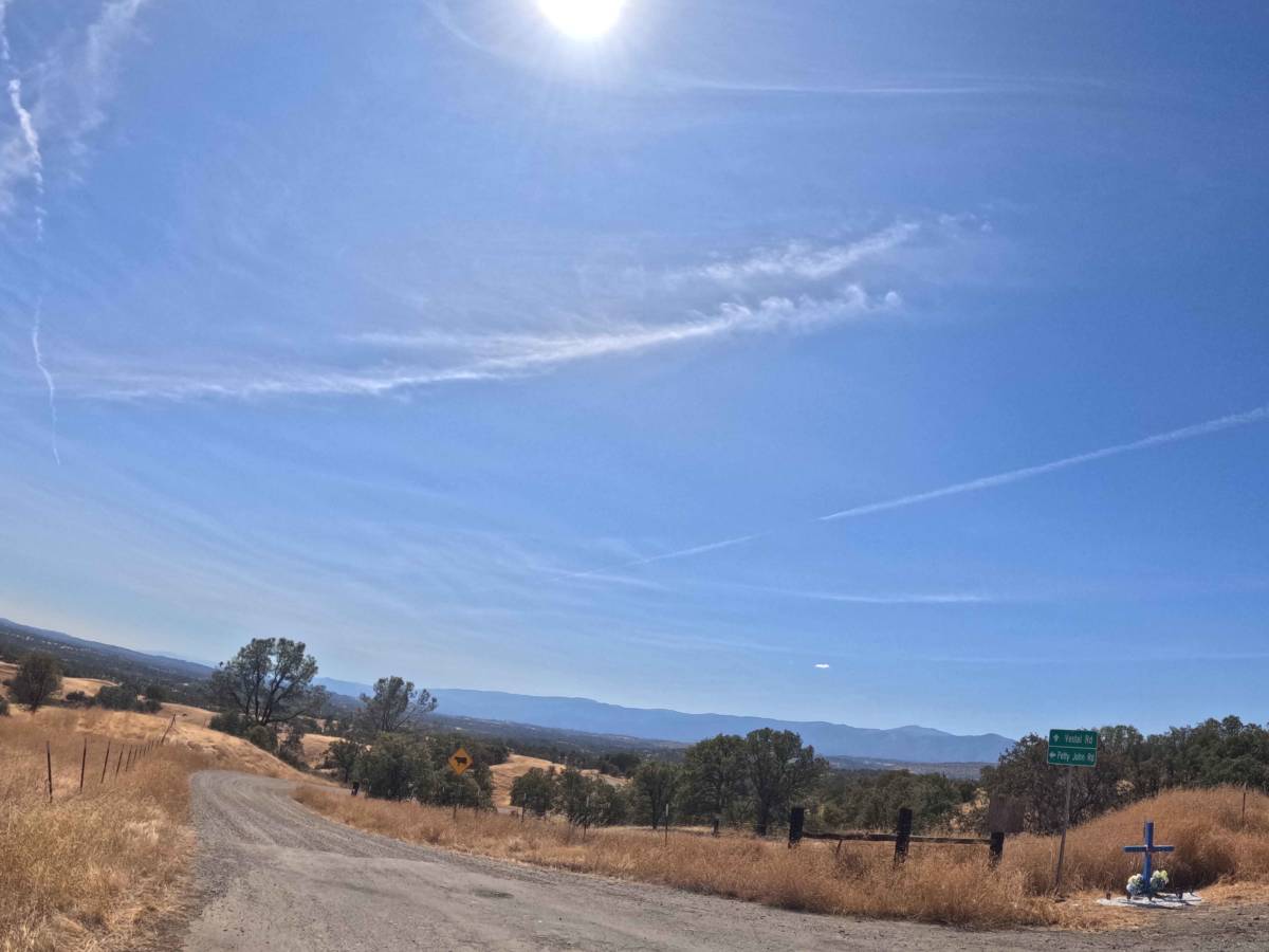
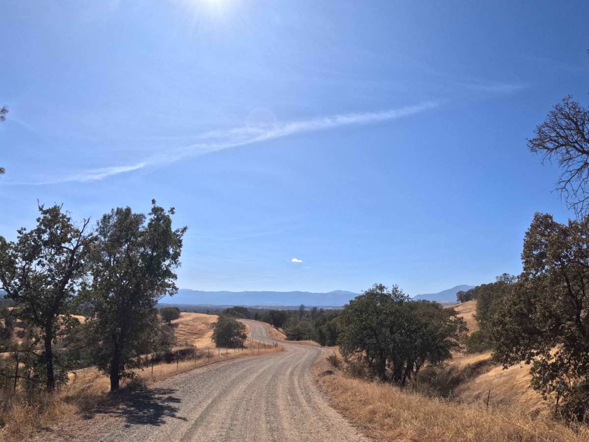
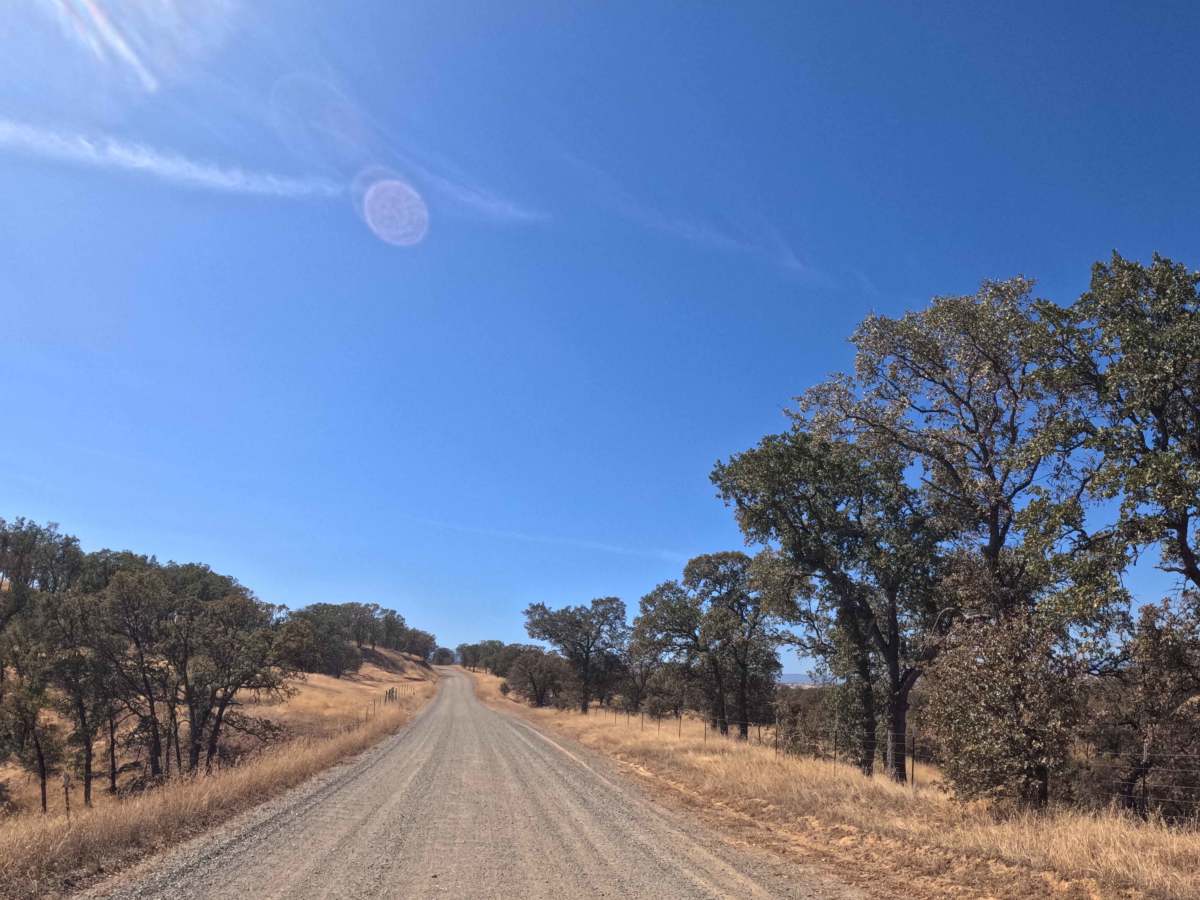
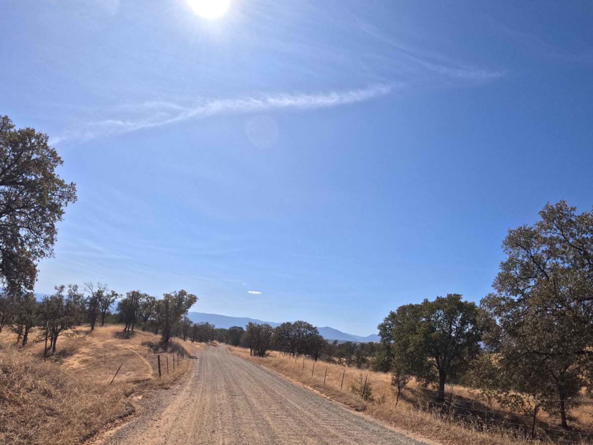
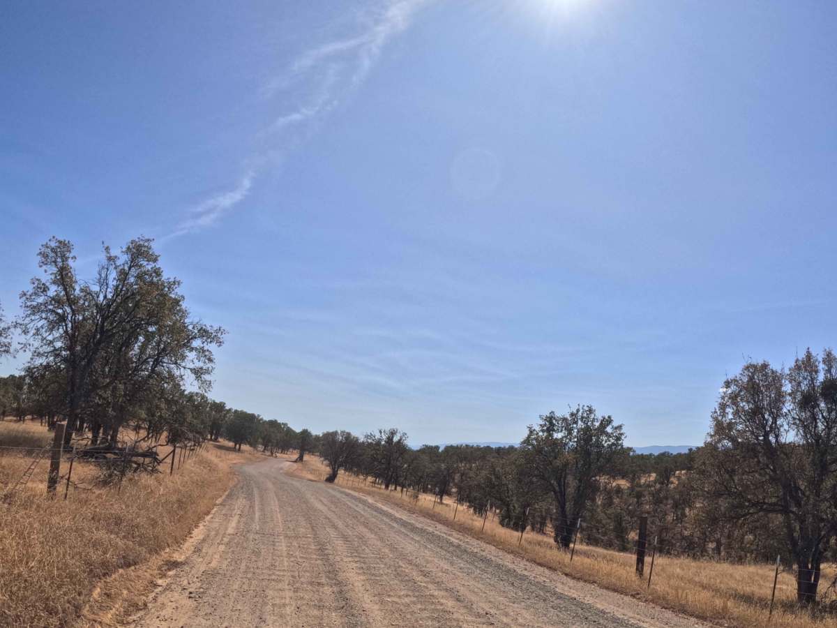
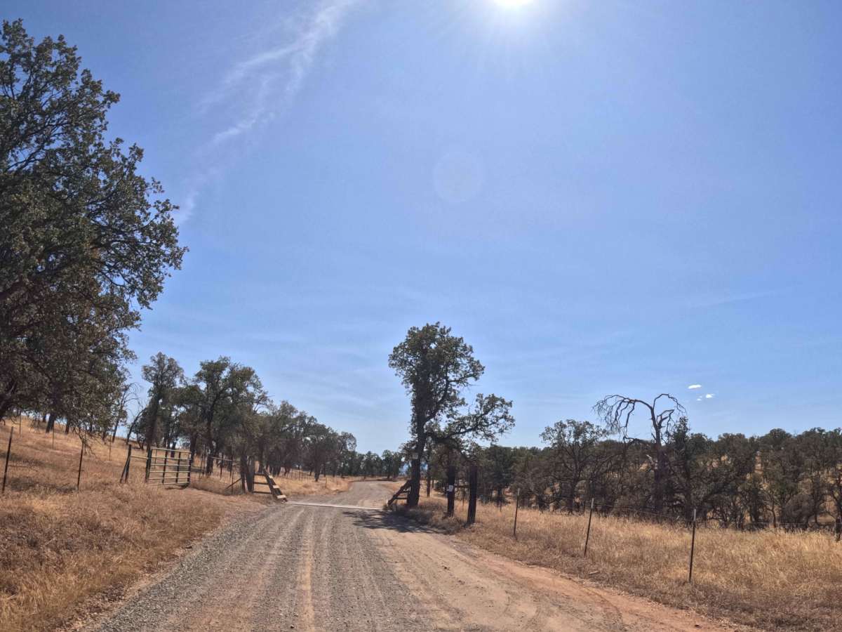
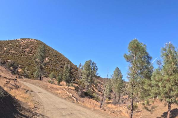
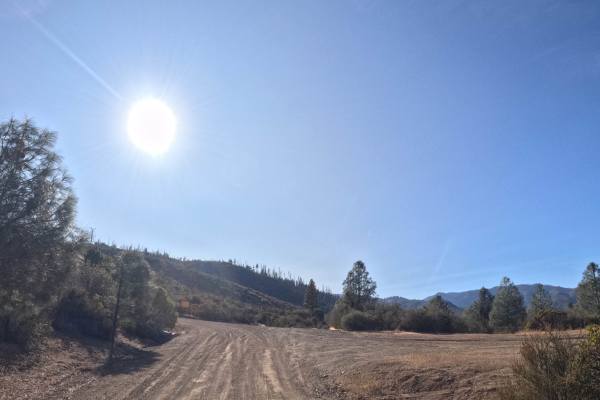
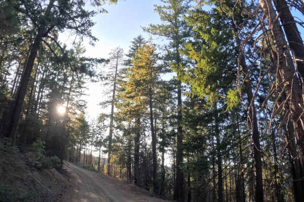
Serving as a highly scenic and historic backcountry connector, Pettyjohn Road branches directly off Reeds Creek Road, a major artery leading out of Red Bluff. The route carves a picturesque path through the sprawling, lower mountain slopes of the Sacramento Valley. Travelers are treated to a dynamic environment defined by golden grassy savannas, dense chaparral, and magnificent, ancient foothill oaks that cast welcome shade over the track. This point-to-point journey primarily navigates through private ranch land, offering a unique glimpse into the region's agricultural heritage. The driving surface consists of a wide, double-track dirt and gravel foundation that earns a highly accessible Grade 1 difficulty rating. As the trail winds through the valley, it features three brief, paved segments that provide access to local ranch houses. The route closely parallels the flowing waters of Guyre Creek before crossing it via a sturdy concrete foundation, eventually briefly transitioning into a scenic shelf road. The journey officially concludes at the Cold Fork crossing near another ranch property, marking the beginning of the Long Grade route.
Difficulty
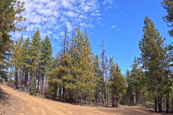
Earning an effortless Grade 1 difficulty rating, this wide dirt and gravel connector road presents a consistently smooth and straightforward driving experience. Severe off-road challenges such as deep mud bogs, intimidating boulder crawls, or treacherous washouts are entirely absent from the well-graded surface. The primary terrain considerations are simply managing the occasional, persistent patches of washboarding and navigating gentle grade variations of roughly 10%. The firm, reliable foundation and generous double-track width allow for an exceptionally comfortable, easy-rolling journey under normal, dry weather conditions, ensuring a safe and pleasant passage for anyone exploring the Sacramento Valley foothills.

 Offroad