Long Grade

Total Miles5
Technical Rating
1Easy
Best TimeSpring, Summer, Fall
Trail TypeFull-Width Road
Accessible By
Open Trail Map

Trail Overview

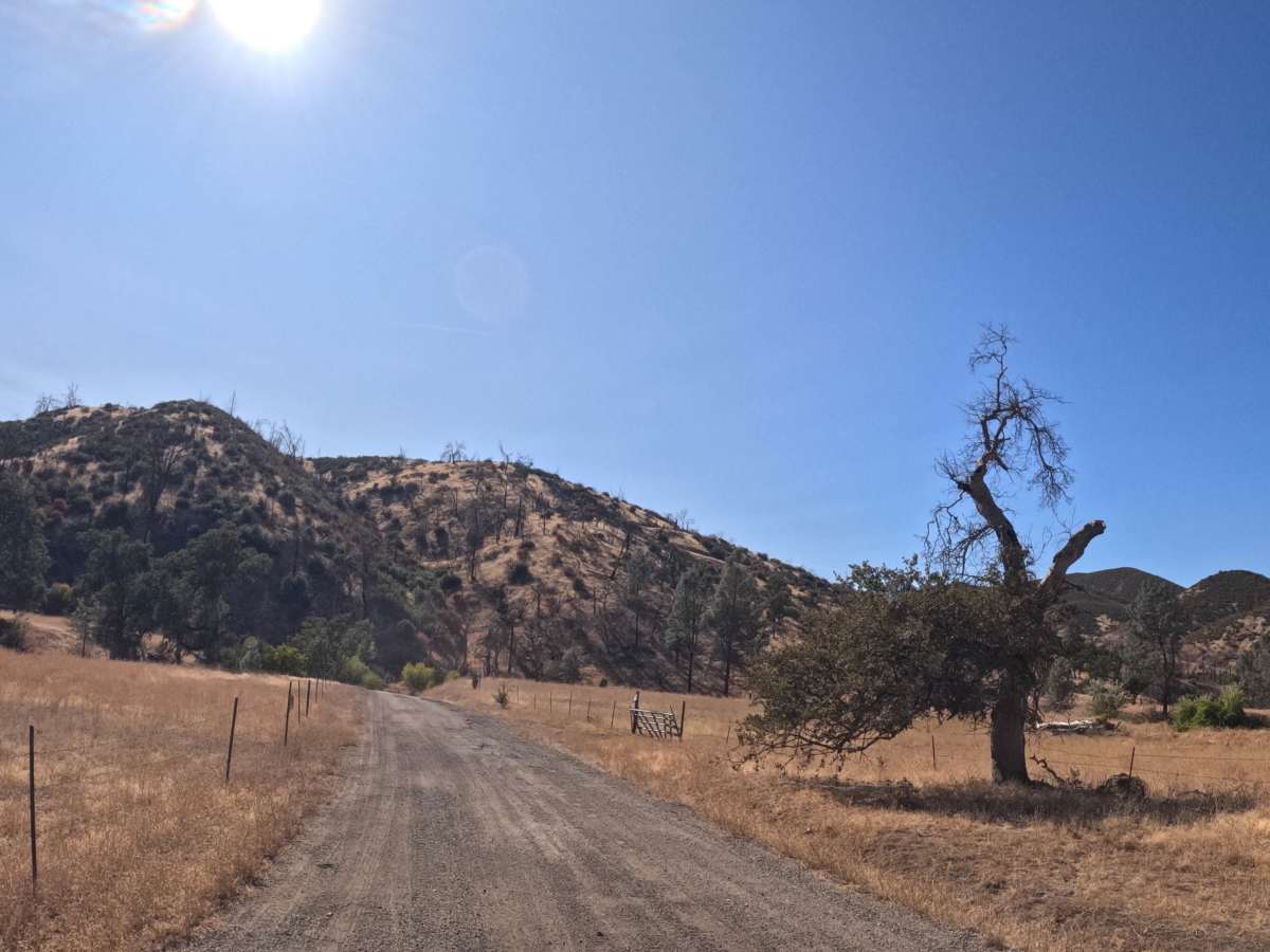
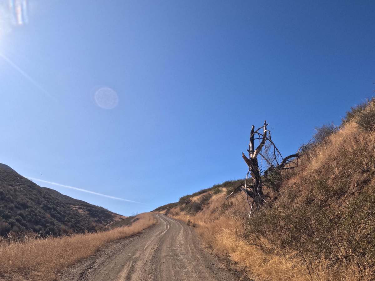
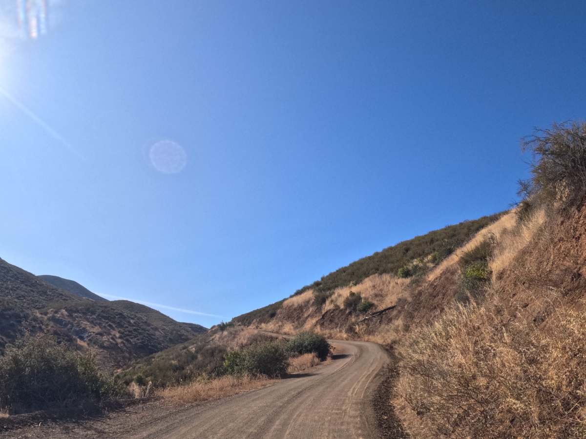
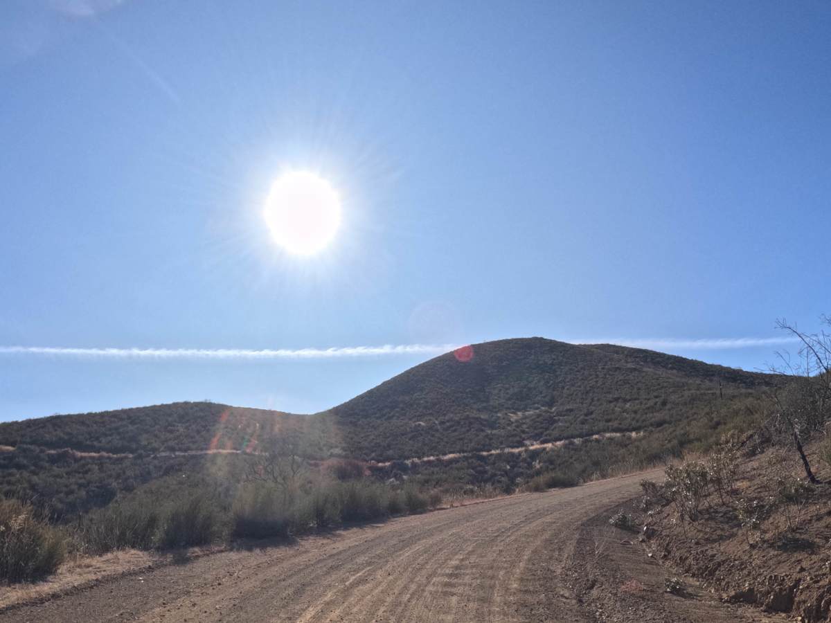
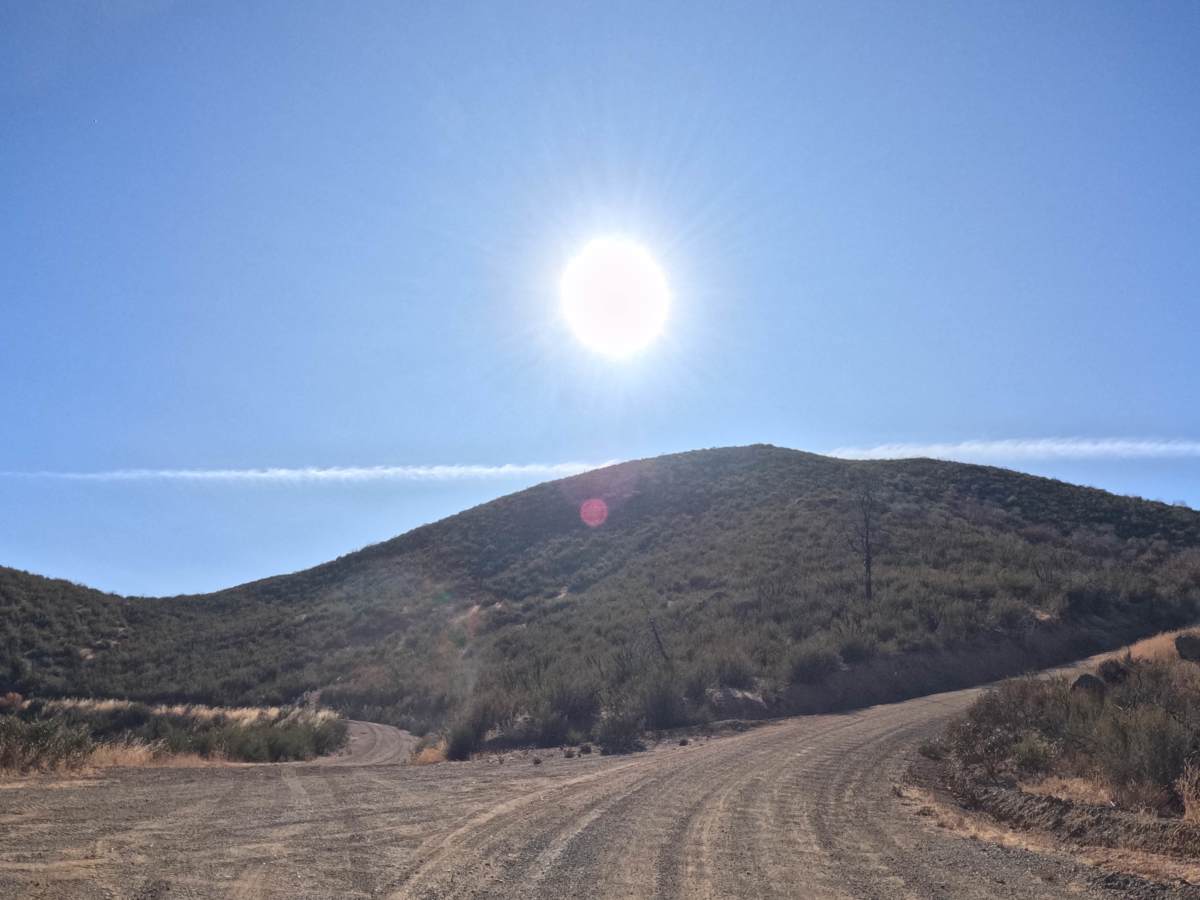
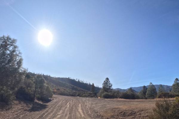
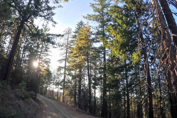
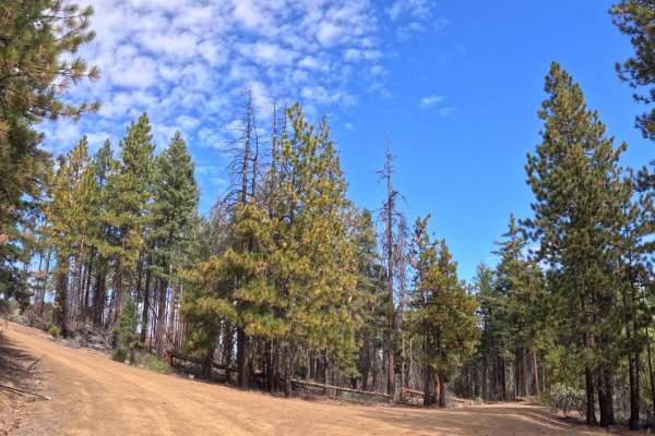
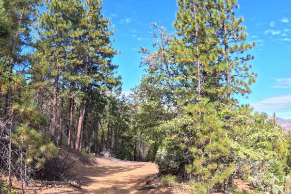
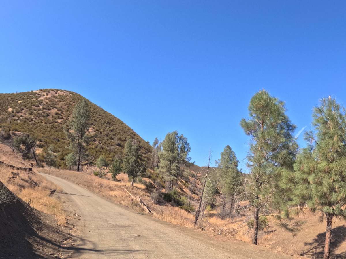
Long Grade continues on from where Pretty John - 35 ends, running as a point-to-point double-track that closes the loop back toward the junction of Hammer Loop Road and Pretty John - 35. The route parallels Cold Fork Creek before crossing it, then begins a sustained climb over Stevenson Peak, passing near both Salt Gulch and Panther Gulch along a shelf-cut section of road. Early on, the trail rolls through open, grassy savanna dotted with foothill oaks; as it gains elevation, the terrain opens into wide chaparral slopes with panoramic views out over the surrounding hills. The final stretch runs through a strip of BLM land before reaching the closing junction. Summer, fall, and spring are all workable times to run it.

Photos of Long Grade

Difficulty

Rates a 1. The surface is smooth and even the whole way — no ruts, no loose rock, nothing to navigate around. The road climbs about 1,300 feet over 5 miles, including the push over Stevenson Peak, but it's a gradual climb, not a steep one. No obstacles anywhere, so it stays easy.

Technical Rating

1

Long Grade Trail can be accessed by the following ride types:

  • Single Track
  • 50 Inch
  • 60 Inch
  • High Clearance
  • Full Width

Long Grade Map

The onX Offroad Difference

onX Offroad combines trail photos, descriptions, difficulty ratings, width restrictions, seasonality, and more in a user-friendly interface. Available on all devices, with offline access and full compatibility with CarPlay and Android Auto. Discover what you're missing today!

Open Trail Map