Trail Overview
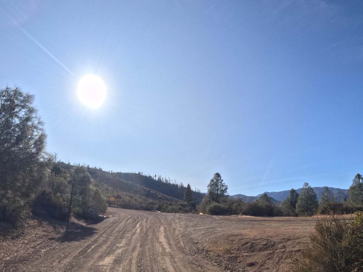
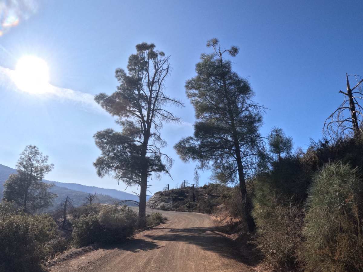
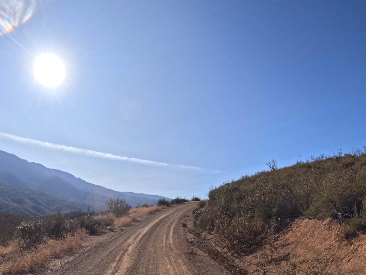
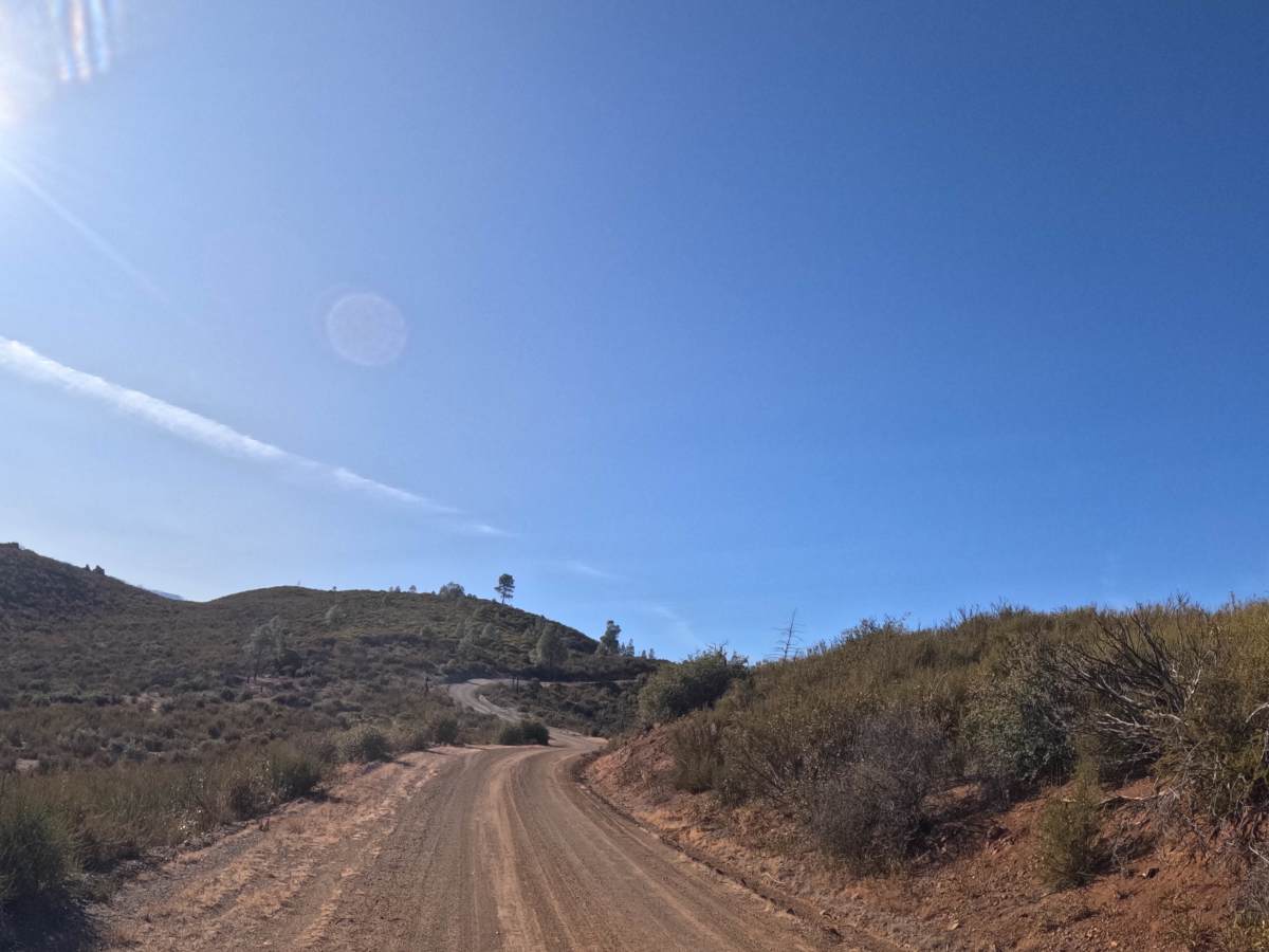
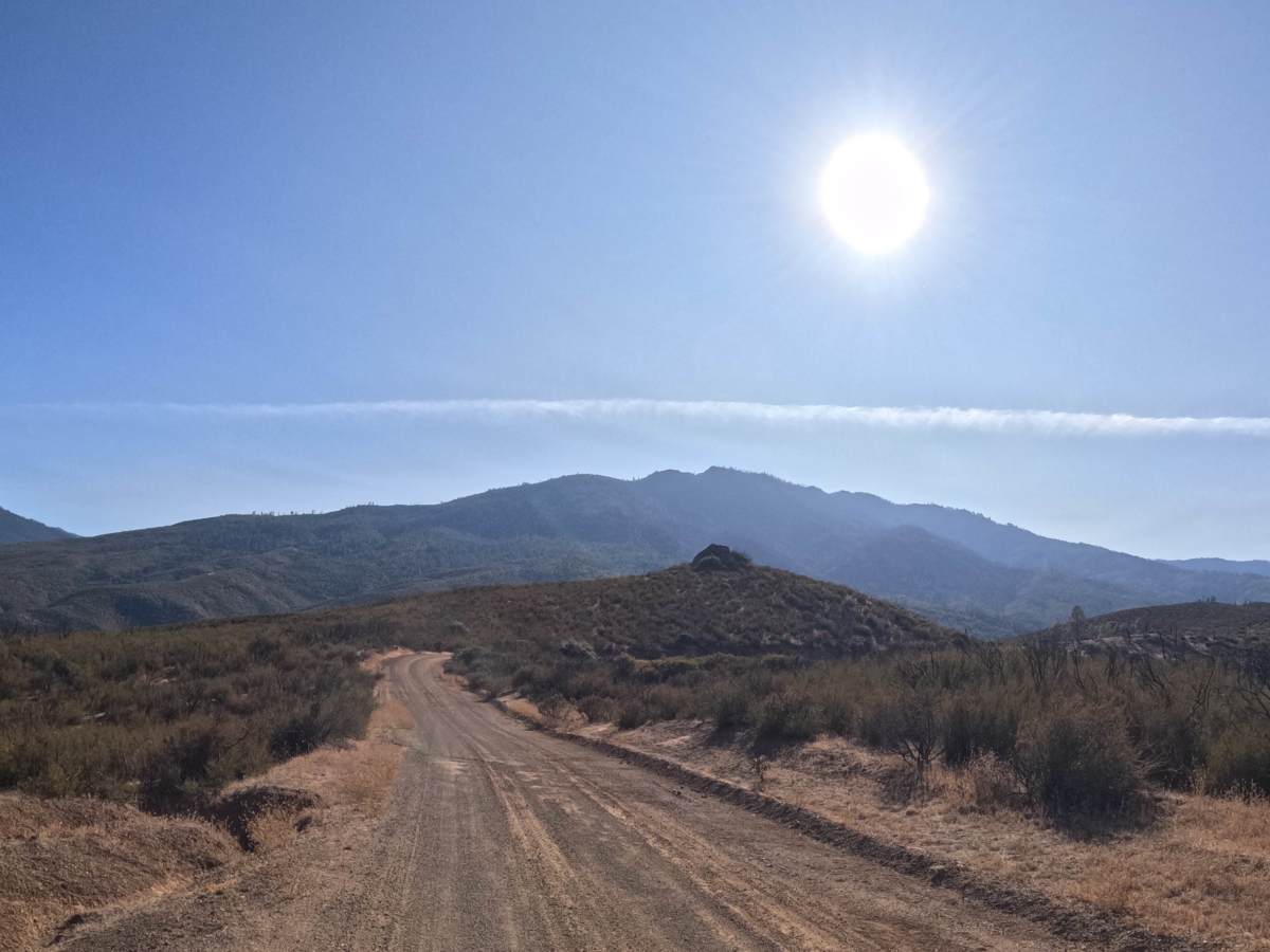
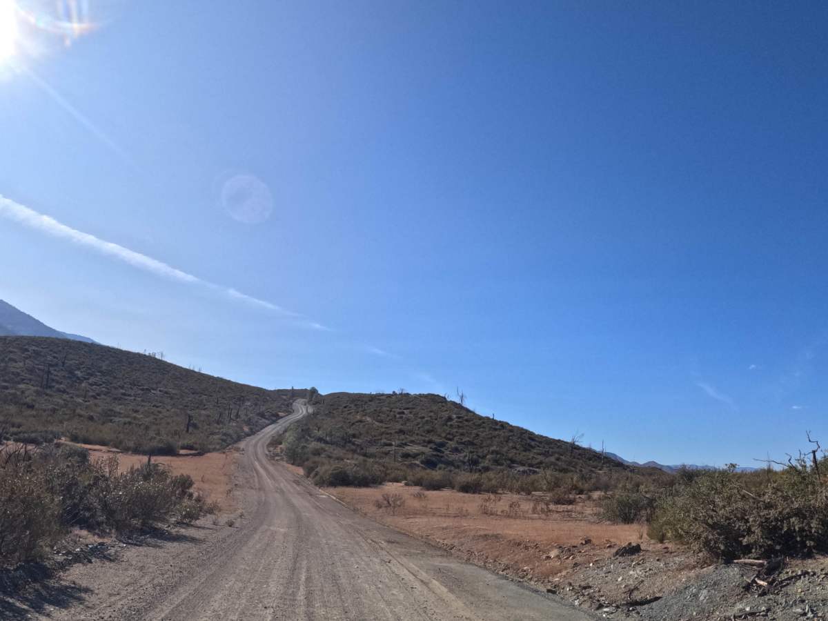
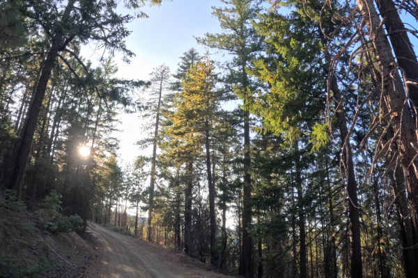
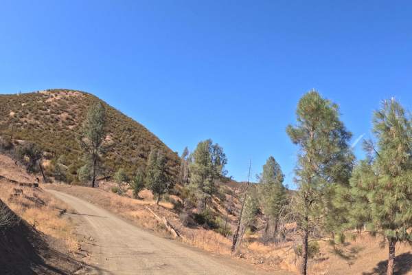
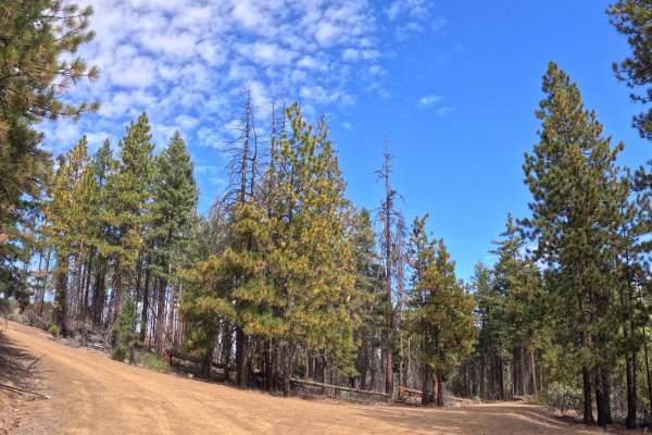
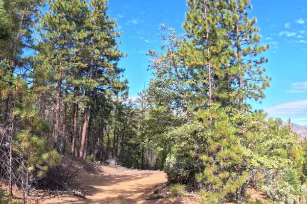
Pretty John - 35 begins at the junction of Hammer Loop Road and Long Grade and runs as a point-to-point route heading west, linking that starting junction to the junction of 27N06 and 28N35 at its far end. There are no notable obstacles anywhere along the way, and the drive is straightforward for the full range of vehicle types under normal conditions. The route climbs steadily as a graded, double-track shelf road, with an average grade around five percent, cut through chaparral country as it gains elevation; gray pine begins to appear partway along as the terrain transitions upward. The road passes through a signed burned area partway through, with posted advisories for falling trees, falling rocks, and potential flash flooding or debris flow after storms. The route begins on BLM land and continues into Shasta-Trinity National Forest by its end. Summer, fall, and spring are all workable times to run it.
Difficulty
Rates a 1. The gravel surface stays smooth and consistent the whole way, with no ruts, rocks, or narrow spots to navigate. The road does climb about 850 feet over the 3.2 miles, but it's a steady grade rather than anything steep or technical. With no obstacles anywhere along the route, there's nothing here that would push the rating any higher.

 Offroad