Tomhead Mountain - FS 27N06

Total Miles5.6
Technical Rating
1Easy
Best TimeSpring, Summer, Fall
Trail TypeFull-Width Road
Accessible By
Open Trail Map

Trail Overview

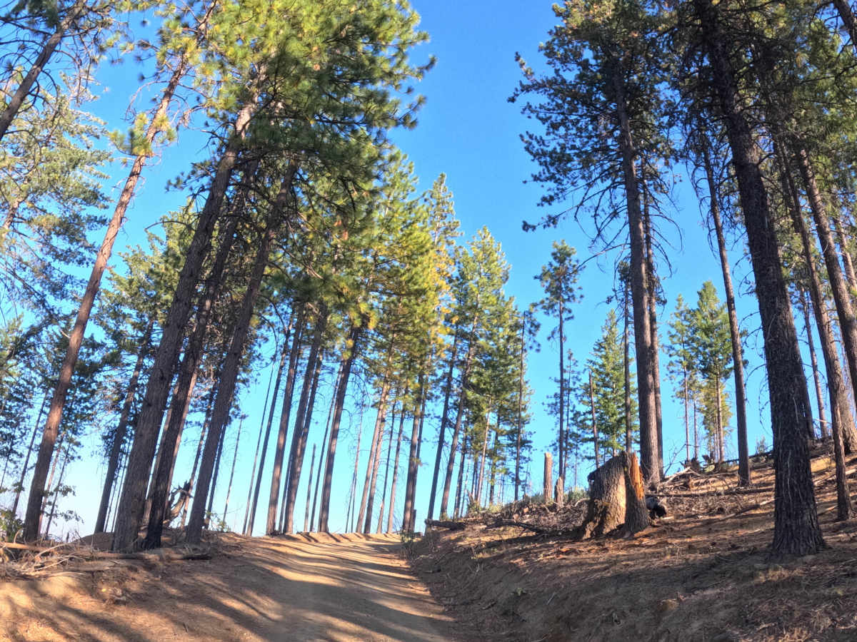
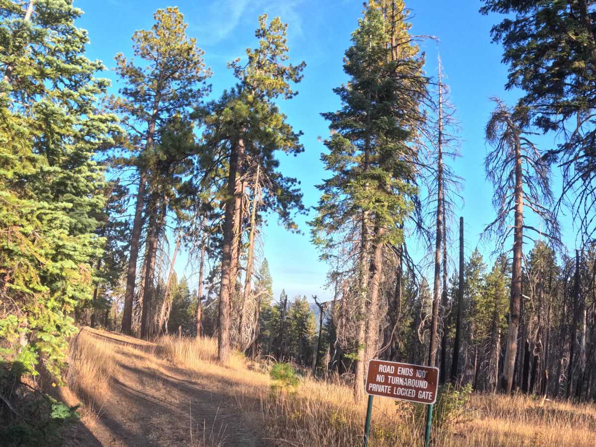
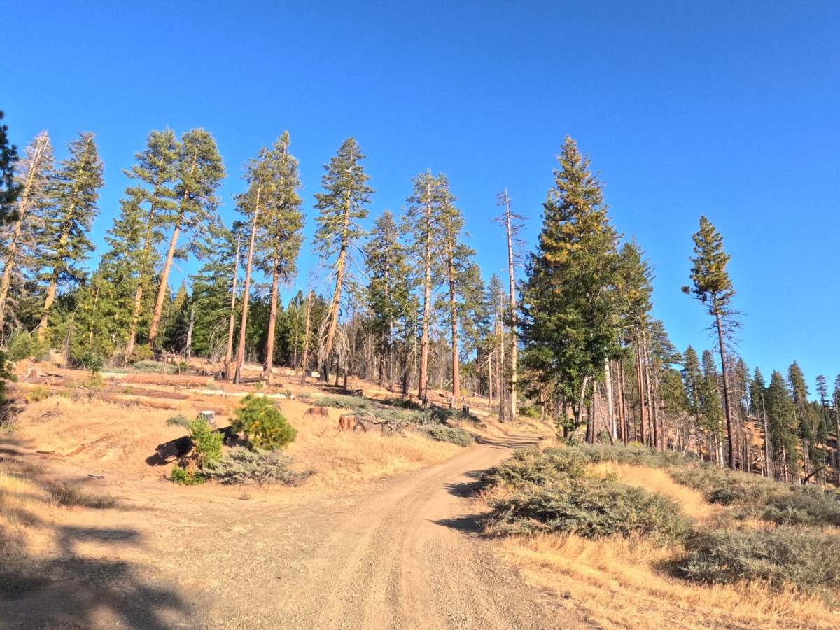
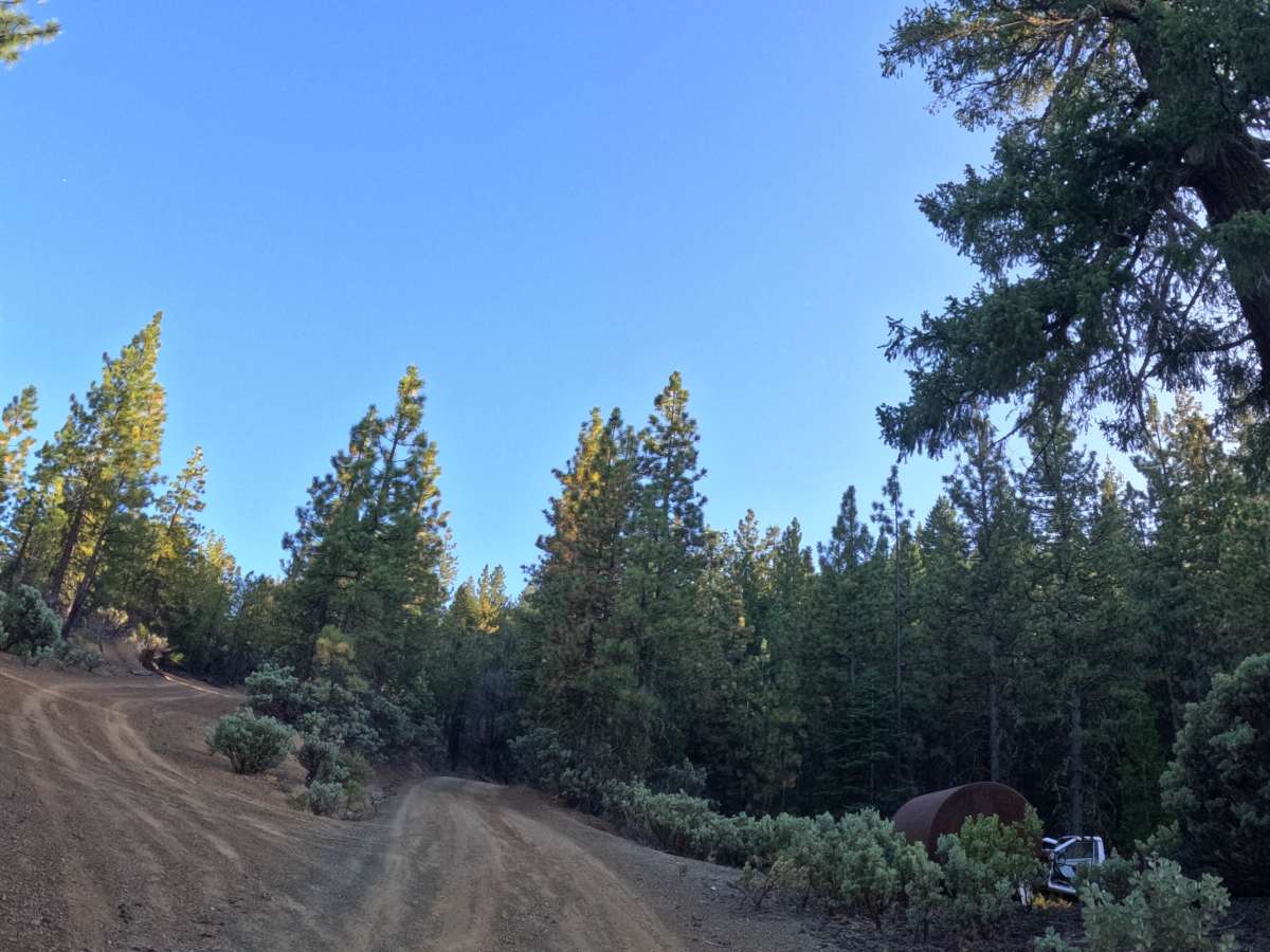
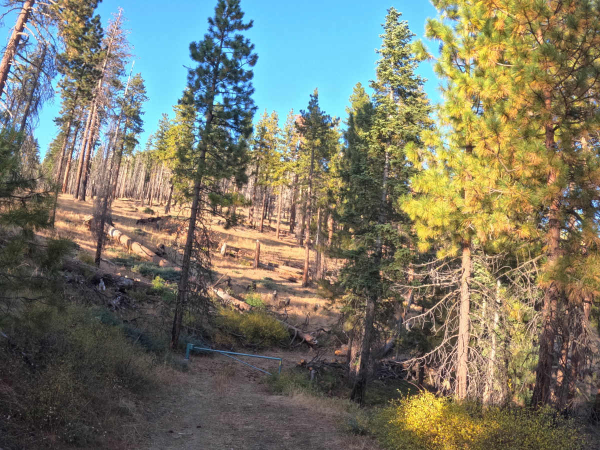
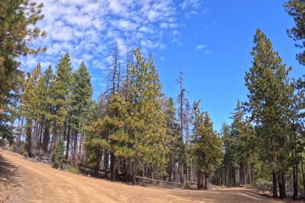
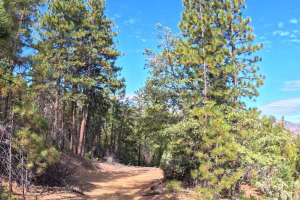
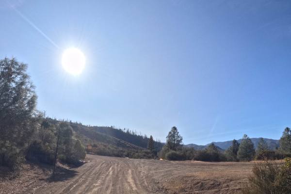
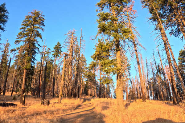
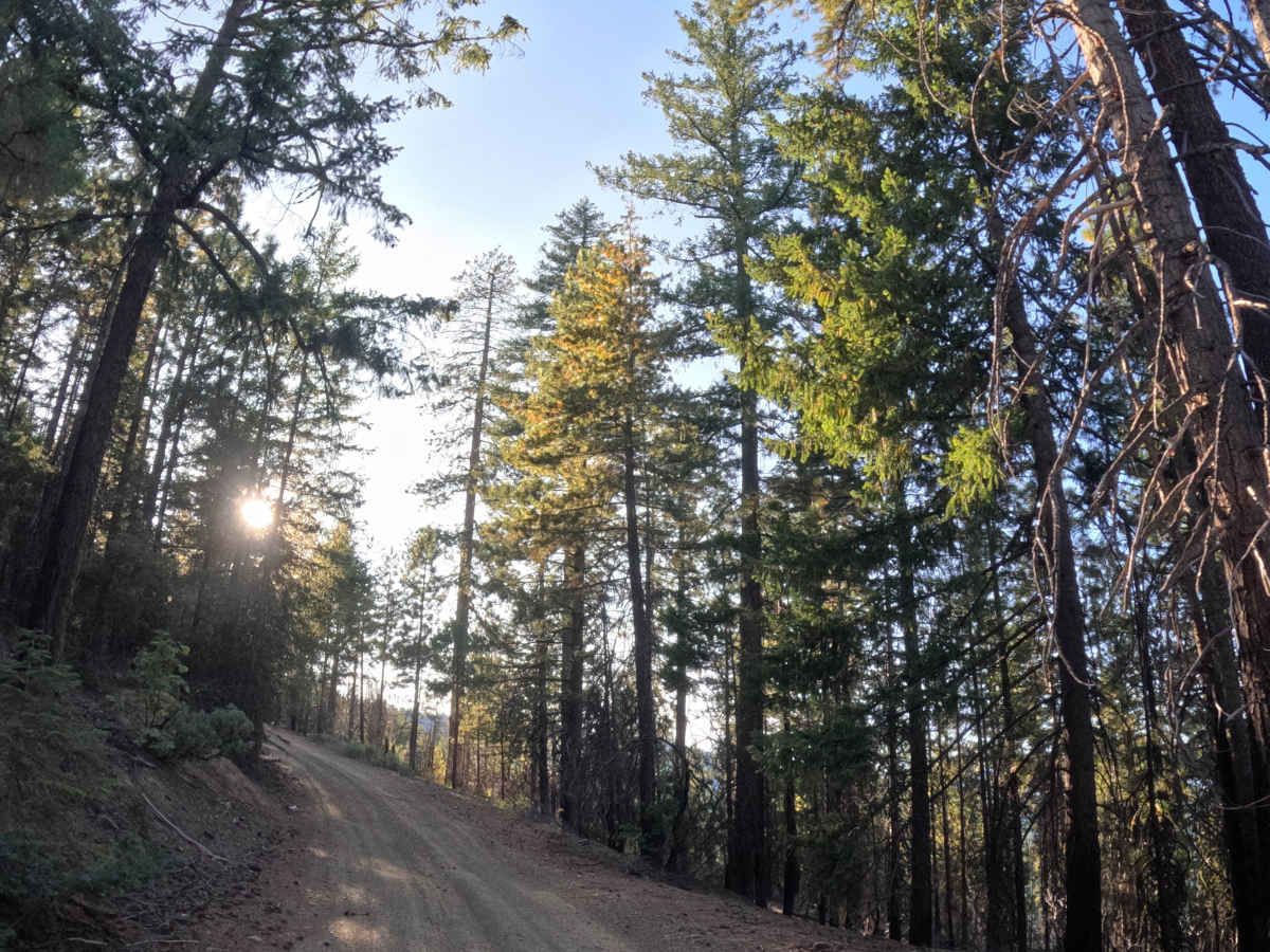
Tomhead Mountain - FS 27N06 forks south from the junction of Pretty John - 35 and FS 28N35, running as a single-track trail through chaparral before crossing Sheep Trail Ridge and continuing into fire-scarred, recovering Shasta-Trinity National Forest. Several side trails branch off along the way. The route gains roughly 3,000 feet as it climbs out of the foothill zone and into mixed-conifer shaded forest, with the surrounding terrain shifting from rolling, grassy savanna slopes to steeper ground marked by deeper canyons, narrow ridges, redder soil, and rock outcrops. This well-traveled route serves as access to several other trails, Tomhead Saddle Campground, and the historic Tomhead Mountain Lookout. No obstacles mark the drive at any point.

Photos of Tomhead Mountain - FS 27N06

Difficulty

Rate it a 1. The trail has no obstacles anywhere along its 5.8 miles, and the surface stays gravel and consistent throughout, even as it climbs nearly 3,000 feet into higher, cooler forest. The climb is steady rather than steep at any one point. With nothing technical to navigate, it stays easy from start to finish.

Technical Rating

1

Tomhead Mountain - FS 27N06 Trail can be accessed by the following ride types:

  • High Clearance
  • Full Width

Tomhead Mountain - FS 27N06 Map

The onX Offroad Difference

onX Offroad combines trail photos, descriptions, difficulty ratings, width restrictions, seasonality, and more in a user-friendly interface. Available on all devices, with offline access and full compatibility with CarPlay and Android Auto. Discover what you're missing today!

Open Trail Map